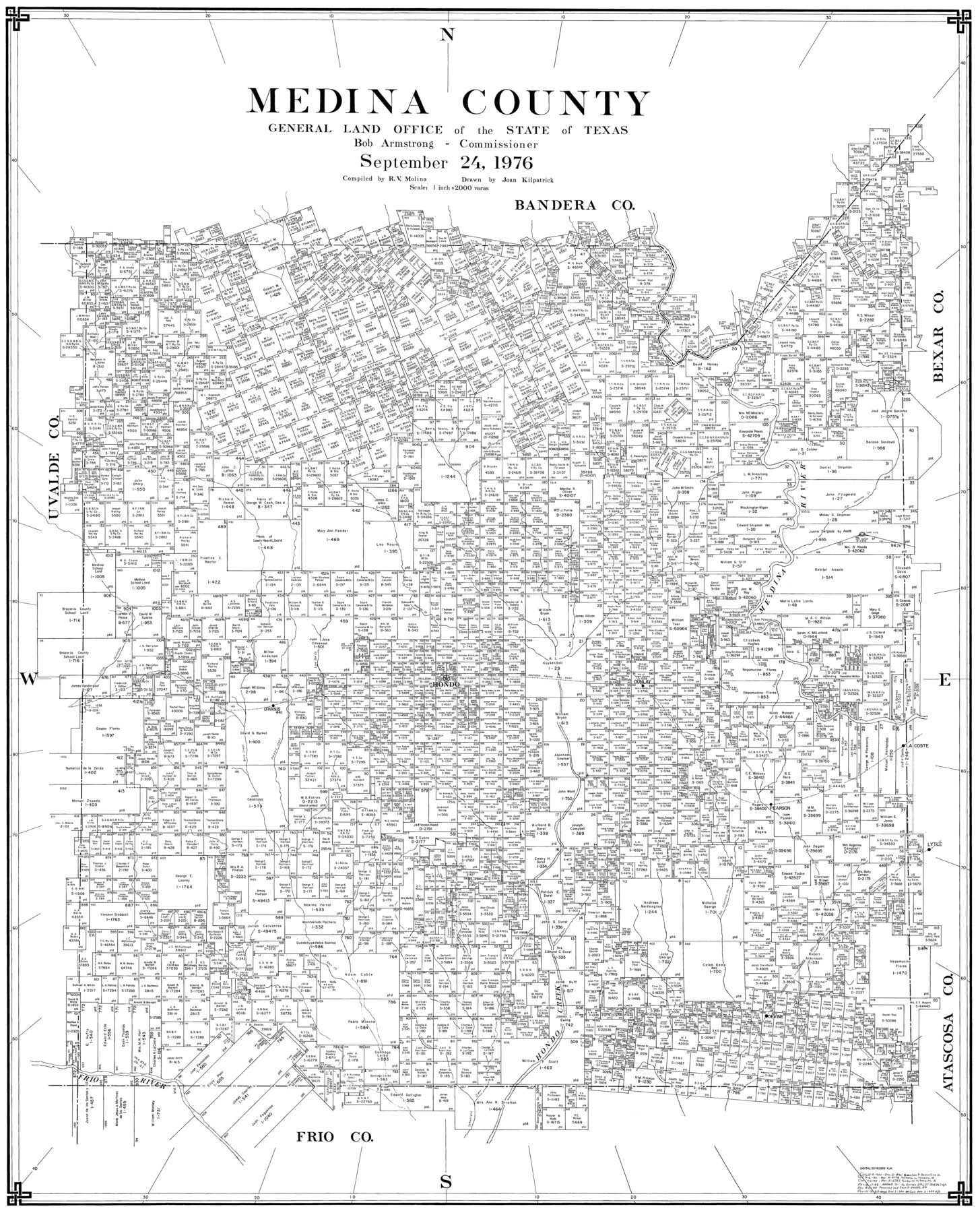
Medina County
-
Map/Doc
77370
-
Collection
General Map Collection
-
Object Dates
9/24/1976 (Creation Date)
-
People and Organizations
Rosendo V. Molina (Compiler)
Joan Kilpatrick (Draftsman)
-
Counties
Medina
-
Subjects
County
-
Height x Width
50.6 x 40.9 inches
128.5 x 103.9 cm
-
Scale
1" = 2000 varas
Part of: General Map Collection
Shelby County Sketch File 30

Print $4.00
- Digital $50.00
Shelby County Sketch File 30
1927
Size 14.3 x 8.8 inches
Map/Doc 36668
Panola County Working Sketch 24

Print $20.00
- Digital $50.00
Panola County Working Sketch 24
1957
Map/Doc 71433
Flight Mission No. DQN-6K, Frame 71, Calhoun County

Print $20.00
- Digital $50.00
Flight Mission No. DQN-6K, Frame 71, Calhoun County
1953
Size 18.5 x 22.2 inches
Map/Doc 84443
Flight Mission No. CRK-3P, Frame 68, Refugio County

Print $20.00
- Digital $50.00
Flight Mission No. CRK-3P, Frame 68, Refugio County
1956
Size 18.7 x 22.5 inches
Map/Doc 86910
Crosby County Sketch File 2

Print $22.00
- Digital $50.00
Crosby County Sketch File 2
Size 8.5 x 9.9 inches
Map/Doc 19991
San Jacinto County Rolled Sketch 10A

Print $40.00
- Digital $50.00
San Jacinto County Rolled Sketch 10A
1944
Size 42.9 x 59.0 inches
Map/Doc 9882
Rusk County Working Sketch 36

Print $20.00
- Digital $50.00
Rusk County Working Sketch 36
2007
Size 31.7 x 36.0 inches
Map/Doc 83786
Eastland County Working Sketch 56

Print $20.00
- Digital $50.00
Eastland County Working Sketch 56
1984
Size 39.2 x 43.3 inches
Map/Doc 68837
Dimmit County Working Sketch 48

Print $40.00
- Digital $50.00
Dimmit County Working Sketch 48
1980
Size 78.7 x 43.7 inches
Map/Doc 68709
Panola County Sketch File 14

Print $4.00
- Digital $50.00
Panola County Sketch File 14
1873
Size 12.2 x 5.2 inches
Map/Doc 33472
Map of the Lands Surveyed by the Memphis, El Paso & Pacific R.R. Company

Print $20.00
- Digital $50.00
Map of the Lands Surveyed by the Memphis, El Paso & Pacific R.R. Company
1860
Size 16.7 x 24.7 inches
Map/Doc 4845
Flight Mission No. BQR-9K, Frame 4, Brazoria County

Print $20.00
- Digital $50.00
Flight Mission No. BQR-9K, Frame 4, Brazoria County
1952
Size 18.8 x 22.3 inches
Map/Doc 84033
You may also like
Erath County Sketch File A2

Print $20.00
- Digital $50.00
Erath County Sketch File A2
Size 15.9 x 19.5 inches
Map/Doc 11464
Flight Mission No. CGI-3N, Frame 111, Cameron County

Print $20.00
- Digital $50.00
Flight Mission No. CGI-3N, Frame 111, Cameron County
1954
Size 18.6 x 22.2 inches
Map/Doc 84591
Atascosa County Working Sketch 30

Print $20.00
- Digital $50.00
Atascosa County Working Sketch 30
1980
Size 16.4 x 20.6 inches
Map/Doc 67226

Fisher County Sketch File 23

Print $12.00
- Digital $50.00
Fisher County Sketch File 23
1875
Size 10.8 x 8.2 inches
Map/Doc 22660
Jackson County Sketch File 13

Print $40.00
- Digital $50.00
Jackson County Sketch File 13
Size 29.0 x 18.6 inches
Map/Doc 11839
Presidio County Sketch File 27 1/2

Print $6.00
- Digital $50.00
Presidio County Sketch File 27 1/2
1890
Size 11.0 x 13.5 inches
Map/Doc 34466


Bee County Sketch File X

Print $6.00
- Digital $50.00
Bee County Sketch File X
Size 11.5 x 11.0 inches
Map/Doc 14243
[The Frisco Line - St. Louis & San Francisco Railway through the Great West and South West]
![95794, [The Frisco Line - St. Louis & San Francisco Railway through the Great West and South West], Cobb Digital Map Collection - 1](https://historictexasmaps.com/wmedia_w700/maps/95794.tif.jpg)
Print $20.00
- Digital $50.00
[The Frisco Line - St. Louis & San Francisco Railway through the Great West and South West]
1893
Size 16.8 x 40.2 inches
Map/Doc 95794
Upton County Rolled Sketch 59

Print $40.00
- Digital $50.00
Upton County Rolled Sketch 59
Size 37.8 x 48.4 inches
Map/Doc 10062