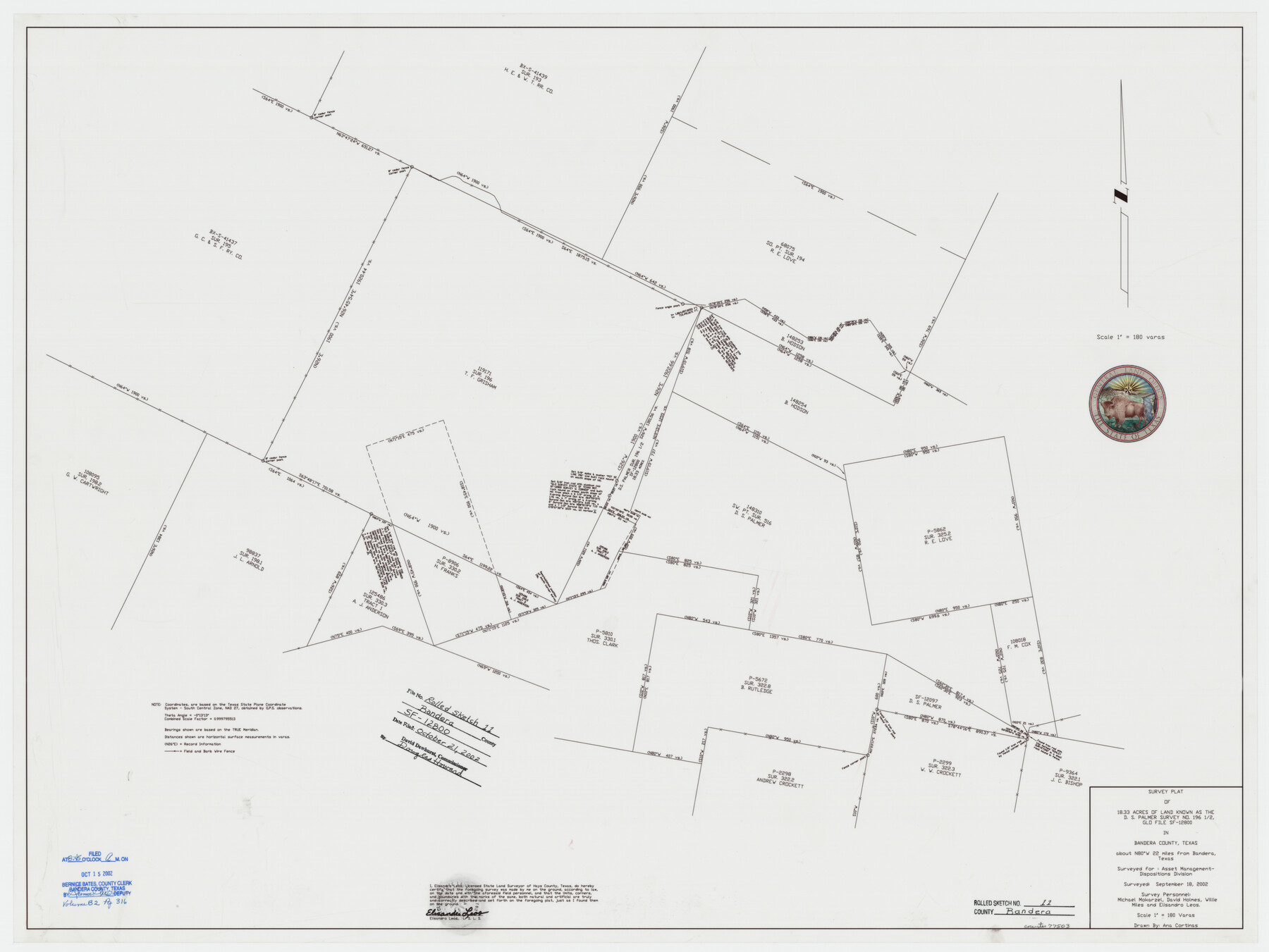
Bandera County Rolled Sketch 11
Survey plat of 18.33 acres of land known as the D.S. Palmer survey no. 196 1/2, GLO file SF-12800
-
Map/Doc
77503
-
Collection
General Map Collection
-
Object Dates
2002/9/18 (Survey Date)
2002/10/21 (File Date)
-
People and Organizations
Elisandro Leos (Surveyor/Engineer)
Ana C. Cortinas (Draftsman)
Michael Mokarzel (Chainman/Field Personnel)
David Holmes (Chainman/Field Personnel)
Willie Miles (Chainman/Field Personnel)
-
Counties
Bandera
-
Subjects
Surveying Rolled Sketch
-
Height x Width
30.8 x 41.1 inches
78.2 x 104.4 cm
-
Medium
mylar, print
-
Scale
1" = 180 varas
Part of: General Map Collection
North Part Brewster Co.

Print $40.00
- Digital $50.00
North Part Brewster Co.
1914
Size 40.6 x 49.2 inches
Map/Doc 66729
Angelina County Working Sketch 50

Print $20.00
- Digital $50.00
Angelina County Working Sketch 50
1985
Size 34.2 x 43.2 inches
Map/Doc 67133
Shackelford County Sketch File 9

Print $20.00
- Digital $50.00
Shackelford County Sketch File 9
1918
Size 24.3 x 15.5 inches
Map/Doc 12315
Van Zandt County Sketch File 28

Print $4.00
- Digital $50.00
Van Zandt County Sketch File 28
1859
Size 12.5 x 8.2 inches
Map/Doc 39451
Pecos County Rolled Sketch 54

Print $11.00
- Digital $50.00
Pecos County Rolled Sketch 54
1916
Size 9.7 x 15.0 inches
Map/Doc 48099
Bowie County Sketch File 7e

Print $10.00
- Digital $50.00
Bowie County Sketch File 7e
1927
Size 10.5 x 8.4 inches
Map/Doc 14867

Flight Mission No. DCL-7C, Frame 49, Kenedy County

Print $20.00
- Digital $50.00
Flight Mission No. DCL-7C, Frame 49, Kenedy County
1943
Size 16.5 x 16.4 inches
Map/Doc 86037

San Saba County Working Sketch 7

Print $20.00
- Digital $50.00
San Saba County Working Sketch 7
1952
Size 35.5 x 29.1 inches
Map/Doc 63795
Gaines County Working Sketch 27

Print $20.00
- Digital $50.00
Gaines County Working Sketch 27
Size 17.4 x 36.7 inches
Map/Doc 69327
Flight Mission No. DAG-21K, Frame 90, Matagorda County

Print $20.00
- Digital $50.00
Flight Mission No. DAG-21K, Frame 90, Matagorda County
1952
Size 18.5 x 22.2 inches
Map/Doc 86419
You may also like
Angelina County Sketch File 17

Print $9.00
- Digital $50.00
Angelina County Sketch File 17
1863
Size 8.2 x 7.0 inches
Map/Doc 13020
Dickens County Rolled Sketch J

Print $20.00
- Digital $50.00
Dickens County Rolled Sketch J
1904
Size 25.4 x 32.9 inches
Map/Doc 8781
Travis County Sketch File 74

Print $10.00
- Digital $50.00
Travis County Sketch File 74
1992
Size 11.5 x 8.8 inches
Map/Doc 38468
Martin County Boundary File 3

Print $2.00
- Digital $50.00
Martin County Boundary File 3
Size 7.1 x 11.3 inches
Map/Doc 56781
A New and Correct Map of North America, with the West India Islands

Print $20.00
- Digital $50.00
A New and Correct Map of North America, with the West India Islands
1784
Size 44.0 x 52.2 inches
Map/Doc 93828
Bosque County Sketch File 2

Print $4.00
- Digital $50.00
Bosque County Sketch File 2
1847
Size 7.8 x 12.4 inches
Map/Doc 14740
Southern Part of Laguna Madre

Print $20.00
- Digital $50.00
Southern Part of Laguna Madre
1952
Size 44.7 x 35.2 inches
Map/Doc 73537
Sketch Showing Surveys Made for W. R. Cartledge

Print $20.00
- Digital $50.00
Sketch Showing Surveys Made for W. R. Cartledge
1945
Size 16.9 x 14.4 inches
Map/Doc 2059
Harris County Rolled Sketch WB

Print $20.00
- Digital $50.00
Harris County Rolled Sketch WB
Size 15.0 x 28.5 inches
Map/Doc 6146
Exhibit E, Robert Violette M. A. 34719, Gaines County, Texas

Print $40.00
- Digital $50.00
Exhibit E, Robert Violette M. A. 34719, Gaines County, Texas
Size 85.9 x 24.3 inches
Map/Doc 93134
Tourist Map of San Antonio showing points of interest, places of amusements, main thoroughfares and highways in and out of city and where they go

Print $20.00
- Digital $50.00
Tourist Map of San Antonio showing points of interest, places of amusements, main thoroughfares and highways in and out of city and where they go
Size 22.2 x 15.3 inches
Map/Doc 95956
Liberty County Working Sketch 3

Print $20.00
- Digital $50.00
Liberty County Working Sketch 3
1891
Size 16.2 x 13.2 inches
Map/Doc 70462