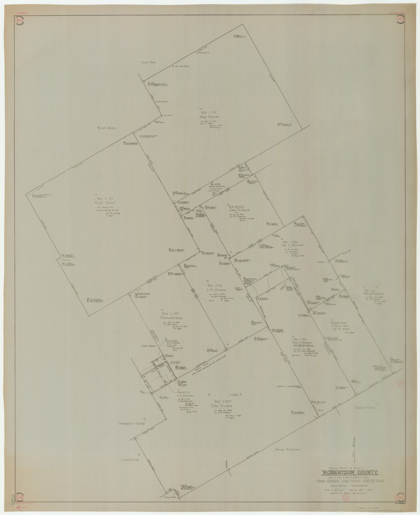
Robertson County Working Sketch 14
-
Map/Doc
78227
-
Collection
General Map Collection
-
Object Dates
5/26/1988 (Creation Date)
-
People and Organizations
Joan Kilpatrick (Draftsman)
-
Counties
Robertson
-
Subjects
Surveying Working Sketch
-
Height x Width
50.0 x 40.8 inches
127.0 x 103.6 cm
-
Scale
1" = 400 varas
Part of: General Map Collection
Ft. W. & R. G. Ry. Right of Way Map, Chapin to Bluffdale, Hood County, Texas

Print $40.00
- Digital $50.00
Ft. W. & R. G. Ry. Right of Way Map, Chapin to Bluffdale, Hood County, Texas
1918
Size 36.5 x 50.5 inches
Map/Doc 64645
Panola County Rolled Sketch 7

Print $20.00
- Digital $50.00
Panola County Rolled Sketch 7
Size 18.6 x 23.4 inches
Map/Doc 7200
Llano County Sketch File 10

Print $10.00
- Digital $50.00
Llano County Sketch File 10
1886
Size 8.2 x 7.6 inches
Map/Doc 30370
Ward County Working Sketch 41

Print $20.00
- Digital $50.00
Ward County Working Sketch 41
1969
Size 45.3 x 31.7 inches
Map/Doc 72347
Colorado County Working Sketch 28

Print $20.00
- Digital $50.00
Colorado County Working Sketch 28
1979
Size 33.5 x 24.3 inches
Map/Doc 68128
McCulloch County Rolled Sketch 6

Print $20.00
- Digital $50.00
McCulloch County Rolled Sketch 6
1982
Size 27.9 x 33.9 inches
Map/Doc 6717
Burleson County Working Sketch 15

Print $20.00
- Digital $50.00
Burleson County Working Sketch 15
1980
Size 15.0 x 21.1 inches
Map/Doc 67734
Flight Mission No. BQR-4K, Frame 66, Brazoria County

Print $20.00
- Digital $50.00
Flight Mission No. BQR-4K, Frame 66, Brazoria County
1952
Size 18.8 x 22.5 inches
Map/Doc 83999
Houston County Sketch File 2

Print $4.00
- Digital $50.00
Houston County Sketch File 2
1857
Size 12.6 x 7.9 inches
Map/Doc 26746
Pecos County Sketch File 106a

Print $4.00
- Digital $50.00
Pecos County Sketch File 106a
1968
Size 11.3 x 8.5 inches
Map/Doc 34033
[Maps of surveys in Reeves & Culberson Cos]
![61136, [Maps of surveys in Reeves & Culberson Cos], General Map Collection](https://historictexasmaps.com/wmedia_w700/maps/61136.tif.jpg)
Print $20.00
- Digital $50.00
[Maps of surveys in Reeves & Culberson Cos]
1937
Size 30.5 x 24.7 inches
Map/Doc 61136
Shelby County Working Sketch 25

Print $20.00
- Digital $50.00
Shelby County Working Sketch 25
1948
Size 23.5 x 36.2 inches
Map/Doc 63879
You may also like
Duval County Working Sketch 52

Print $20.00
- Digital $50.00
Duval County Working Sketch 52
1942
Size 22.1 x 25.9 inches
Map/Doc 68776
Comal County Sketch File 3b

Print $20.00
- Digital $50.00
Comal County Sketch File 3b
1847
Size 12.4 x 16.1 inches
Map/Doc 19003
Dimmit County Sketch File 56

Print $20.00
- Digital $50.00
Dimmit County Sketch File 56
1939
Size 15.8 x 27.4 inches
Map/Doc 11360
Archer County Working Sketch 17

Print $3.00
- Digital $50.00
Archer County Working Sketch 17
1951
Size 10.7 x 12.2 inches
Map/Doc 67158
Stonewall County Rolled Sketch 25

Print $20.00
- Digital $50.00
Stonewall County Rolled Sketch 25
1952
Size 27.8 x 22.1 inches
Map/Doc 7873
Harris County Historic Topographic A

Print $20.00
- Digital $50.00
Harris County Historic Topographic A
1916
Size 26.1 x 19.0 inches
Map/Doc 65849
Sutton County Sketch File Z

Print $20.00
- Digital $50.00
Sutton County Sketch File Z
Size 21.8 x 28.3 inches
Map/Doc 12400
Reagan County Working Sketch 39

Print $20.00
- Digital $50.00
Reagan County Working Sketch 39
1971
Size 22.5 x 36.1 inches
Map/Doc 71881
From Citizens Living in Red River County for the Creation of a New County (Unnamed), Undated

Print $20.00
From Citizens Living in Red River County for the Creation of a New County (Unnamed), Undated
2020
Size 16.6 x 21.7 inches
Map/Doc 96405

Val Verde County Working Sketch 27

Print $20.00
- Digital $50.00
Val Verde County Working Sketch 27
1937
Size 26.6 x 26.4 inches
Map/Doc 72162
Medina County Sketch File 21

Print $38.00
- Digital $50.00
Medina County Sketch File 21
2002
Size 11.2 x 8.7 inches
Map/Doc 76343