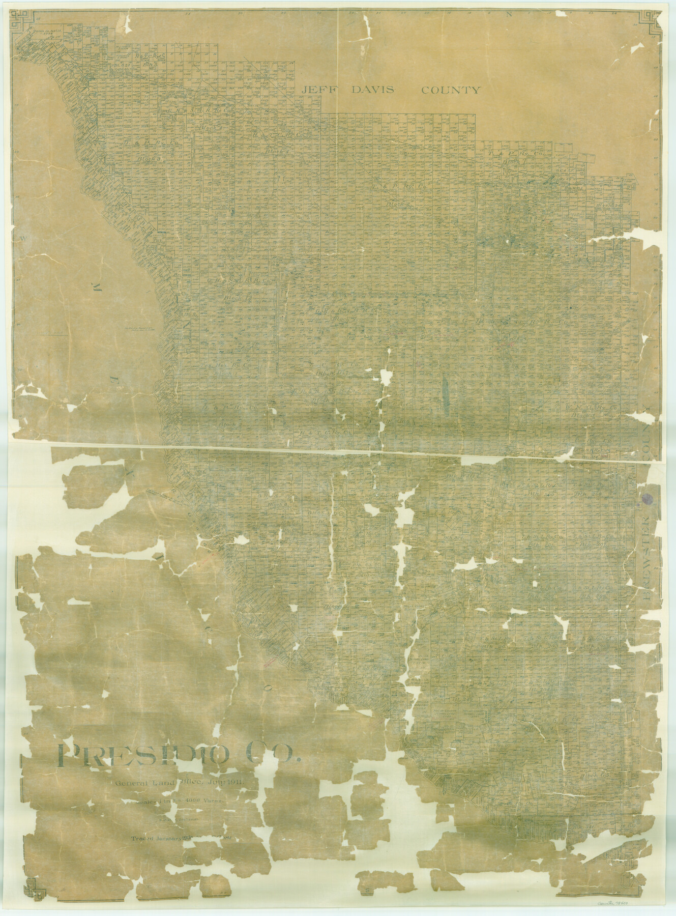
Presidio Co.
-
Map/Doc
78431
-
Collection
General Map Collection
-
Object Dates
1911 (Creation Date)
-
People and Organizations
Texas General Land Office (Publisher)
S.C. Clark (Compiler)
S.C. Clark (Draftsman)
-
Counties
Presidio
-
Subjects
County
-
Height x Width
49.9 x 36.8 inches
126.7 x 93.5 cm
-
Comments
Traced January 1934 by A. C. Clark.
-
Features
Valentine
GH&SA
Capota Mountain
Marfa
Capote Creek
Paleo Creek
Shafter
Rio Grande
Lajitas
Shafter Road
Antelope Spring
Candelaria
Alamo Seco Creek
Bonito Creek
Presidio
Polvo
Part of: General Map Collection
Coleman County Rolled Sketch 7

Print $20.00
- Digital $50.00
Coleman County Rolled Sketch 7
Size 19.3 x 14.3 inches
Map/Doc 5530
Flight Mission No. DQN-2K, Frame 43, Calhoun County

Print $20.00
- Digital $50.00
Flight Mission No. DQN-2K, Frame 43, Calhoun County
1953
Size 18.6 x 22.6 inches
Map/Doc 84248
Cherokee County Sketch File 9

Print $8.00
- Digital $50.00
Cherokee County Sketch File 9
1853
Size 5.6 x 4.2 inches
Map/Doc 18132
East Part of Anderson County

Print $40.00
- Digital $50.00
East Part of Anderson County
1942
Size 52.0 x 42.3 inches
Map/Doc 77198
Johnson County

Print $20.00
- Digital $50.00
Johnson County
1943
Size 42.0 x 38.8 inches
Map/Doc 73199
Hutchinson County Rolled Sketch 43

Print $40.00
- Digital $50.00
Hutchinson County Rolled Sketch 43
1992
Size 38.0 x 49.4 inches
Map/Doc 6311
Floyd County Sketch File 12

Print $10.00
- Digital $50.00
Floyd County Sketch File 12
1913
Size 10.8 x 8.8 inches
Map/Doc 22708
Clarkson's City Map of Port Aransas

Print $20.00
- Digital $50.00
Clarkson's City Map of Port Aransas
Size 18.5 x 26.5 inches
Map/Doc 3040
The Western Coast of Louisiana and The Coast of New Leon

Print $20.00
- Digital $50.00
The Western Coast of Louisiana and The Coast of New Leon
1775
Size 21.1 x 28.7 inches
Map/Doc 93705
![78444, [Webb County], General Map Collection](https://historictexasmaps.com/wmedia_w700/maps/78444.tif.jpg)
Map of Pecos and Reeves Counties

Print $40.00
- Digital $50.00
Map of Pecos and Reeves Counties
1873
Size 45.3 x 115.6 inches
Map/Doc 75930
Flight Mission No. CGI-2N, Frame 179, Cameron County

Print $20.00
- Digital $50.00
Flight Mission No. CGI-2N, Frame 179, Cameron County
1954
Size 18.5 x 22.2 inches
Map/Doc 84539
You may also like
Dallam County Sketch File 15

Print $18.00
- Digital $50.00
Dallam County Sketch File 15
1990
Size 14.4 x 9.0 inches
Map/Doc 20381

Midland County Working Sketch 5

Print $20.00
- Digital $50.00
Midland County Working Sketch 5
1893
Size 31.2 x 25.6 inches
Map/Doc 70985
Political Essay on the Kingdom of New Spain Vol. 4

Political Essay on the Kingdom of New Spain Vol. 4
1822
Map/Doc 97389
Sabine River, Rocky Ford Crossing Sheet/Cowleach Fork of the Sabine River

Print $20.00
- Digital $50.00
Sabine River, Rocky Ford Crossing Sheet/Cowleach Fork of the Sabine River
1936
Size 38.9 x 29.2 inches
Map/Doc 65144
Flight Mission No. DAG-23K, Frame 142, Matagorda County

Print $20.00
- Digital $50.00
Flight Mission No. DAG-23K, Frame 142, Matagorda County
1953
Size 18.4 x 22.4 inches
Map/Doc 86490
San Jacinto River and Tributaries, Texas - Survey of 1939

Print $20.00
- Digital $50.00
San Jacinto River and Tributaries, Texas - Survey of 1939
1939
Size 28.0 x 40.3 inches
Map/Doc 60305
Shackelford County

Print $20.00
- Digital $50.00
Shackelford County
1972
Size 41.1 x 35.0 inches
Map/Doc 77420
Live Oak County Boundary File 60

Print $12.00
- Digital $50.00
Live Oak County Boundary File 60
Size 8.8 x 7.6 inches
Map/Doc 56401
Uvalde County Rolled Sketch B

Print $20.00
- Digital $50.00
Uvalde County Rolled Sketch B
1847
Size 28.8 x 22.4 inches
Map/Doc 8105
Flight Mission No. CUG-1P, Frame 80, Kleberg County

Print $20.00
- Digital $50.00
Flight Mission No. CUG-1P, Frame 80, Kleberg County
1956
Size 18.8 x 22.4 inches
Map/Doc 86145
Val Verde County Sketch File Z17

Print $24.00
- Digital $50.00
Val Verde County Sketch File Z17
1907
Size 23.7 x 17.5 inches
Map/Doc 12558