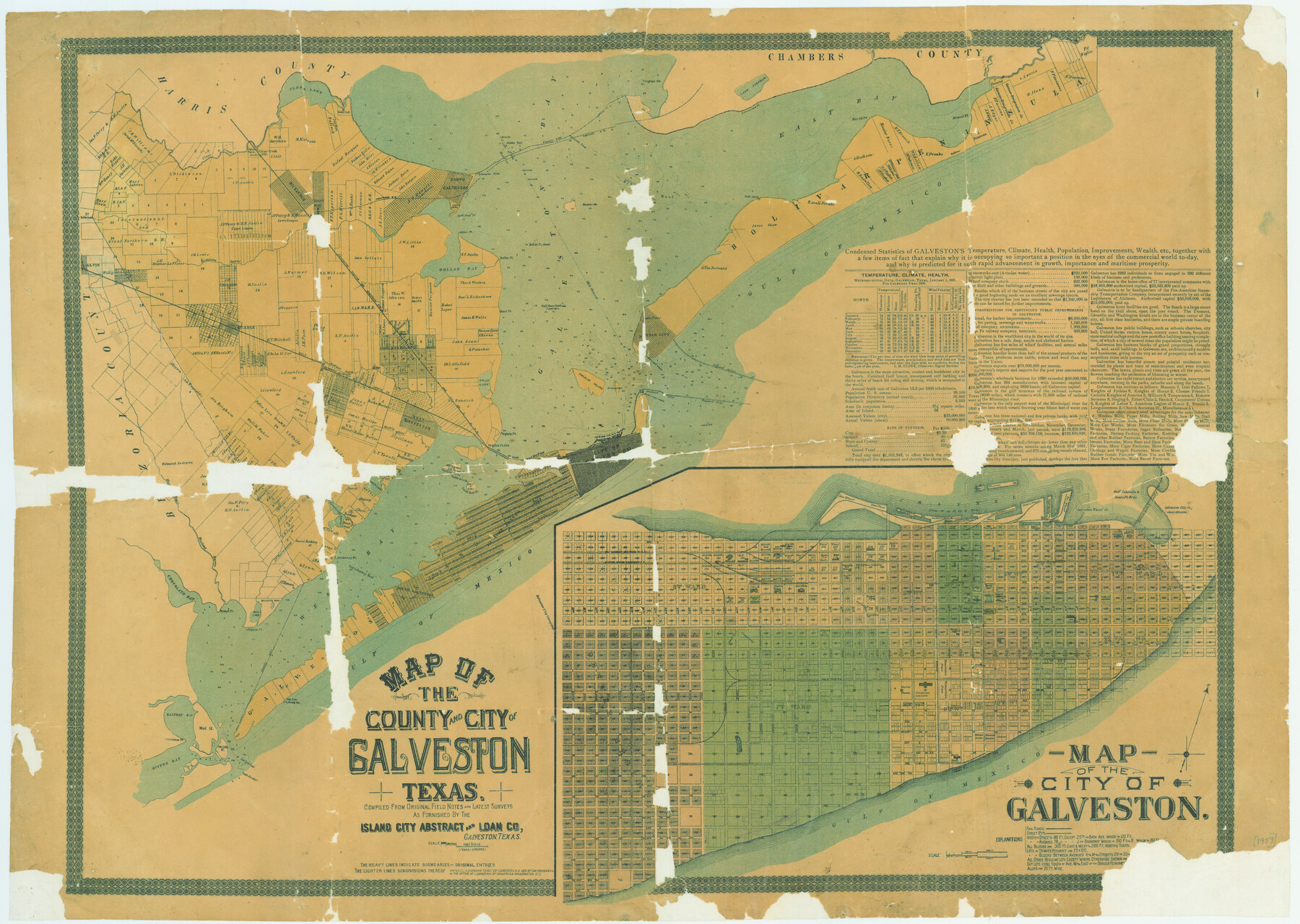
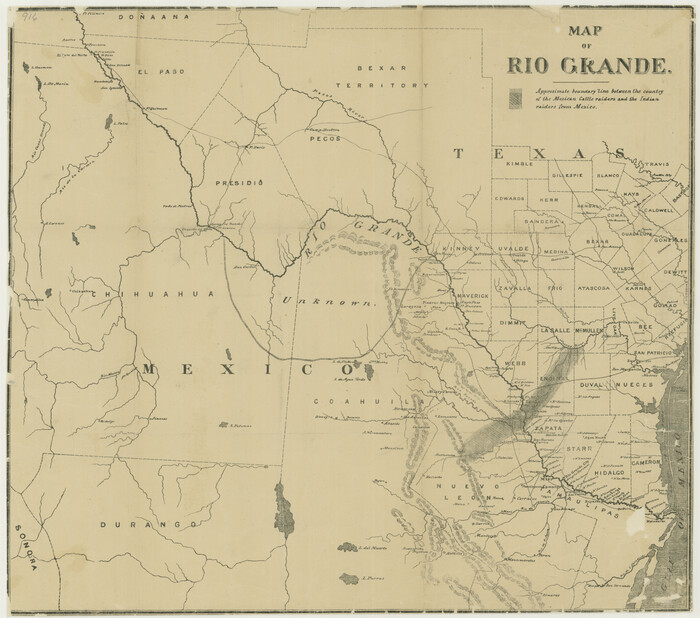
Map of the County and City of Galveston, Texas
-
Map/Doc
79290
-
Collection
Texas State Library and Archives
-
Object Dates
[1891] (Creation Date)
-
People and Organizations
Island City Abstract and Loan Company (Publisher)
-
Counties
Galveston
-
Subjects
City County
-
Height x Width
24.5 x 34.4 inches
62.2 x 87.4 cm
-
Comments
Prints available courtesy of the Texas State Library and Archives.
More info can be found here: TSLAC Map 01959
Part of: Texas State Library and Archives
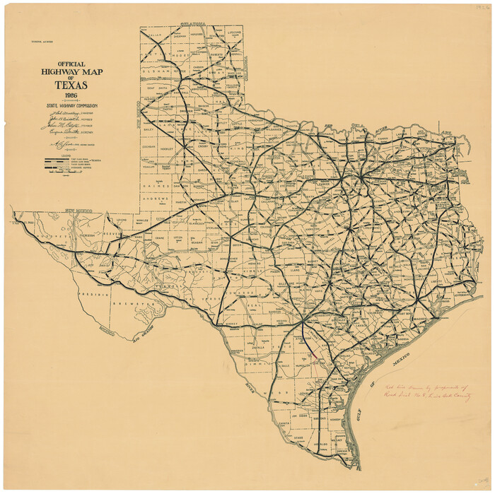
Official Highway Map of Texas

Print $20.00
Official Highway Map of Texas
1926
Size 25.0 x 24.9 inches
Map/Doc 79744
General Highway Map. Detail of Cities and Towns in Comal County, Texas. City Map [of] New Braunfels, Comal County, Texas
![79418, General Highway Map. Detail of Cities and Towns in Comal County, Texas. City Map [of] New Braunfels, Comal County, Texas, Texas State Library and Archives](https://historictexasmaps.com/wmedia_w700/maps/79418.tif.jpg)
![79418, General Highway Map. Detail of Cities and Towns in Comal County, Texas. City Map [of] New Braunfels, Comal County, Texas, Texas State Library and Archives](https://historictexasmaps.com/wmedia_w700/maps/79418.tif.jpg)
Print $20.00
General Highway Map. Detail of Cities and Towns in Comal County, Texas. City Map [of] New Braunfels, Comal County, Texas
1961
Size 18.1 x 24.6 inches
Map/Doc 79418
General Highway Map, Ward County, Texas


Print $20.00
General Highway Map, Ward County, Texas
1961
Size 18.2 x 25.0 inches
Map/Doc 79702
Map of Texas. The Proposed Reoccupation of the Rio Grande -- Its Importance to the Union


Print $20.00
Map of Texas. The Proposed Reoccupation of the Rio Grande -- Its Importance to the Union
1965
Size 14.1 x 8.6 inches
Map/Doc 76264
General Highway Map, Young County, Texas


Print $20.00
General Highway Map, Young County, Texas
1961
Size 18.3 x 24.8 inches
Map/Doc 79720
General Highway Map, Ector County, Texas


Print $20.00
General Highway Map, Ector County, Texas
1961
Size 18.0 x 24.8 inches
Map/Doc 79451
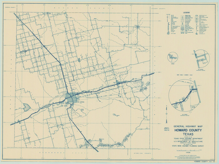
General Highway Map, Howard County, Texas

Print $20.00
General Highway Map, Howard County, Texas
1940
Size 18.5 x 24.7 inches
Map/Doc 79134
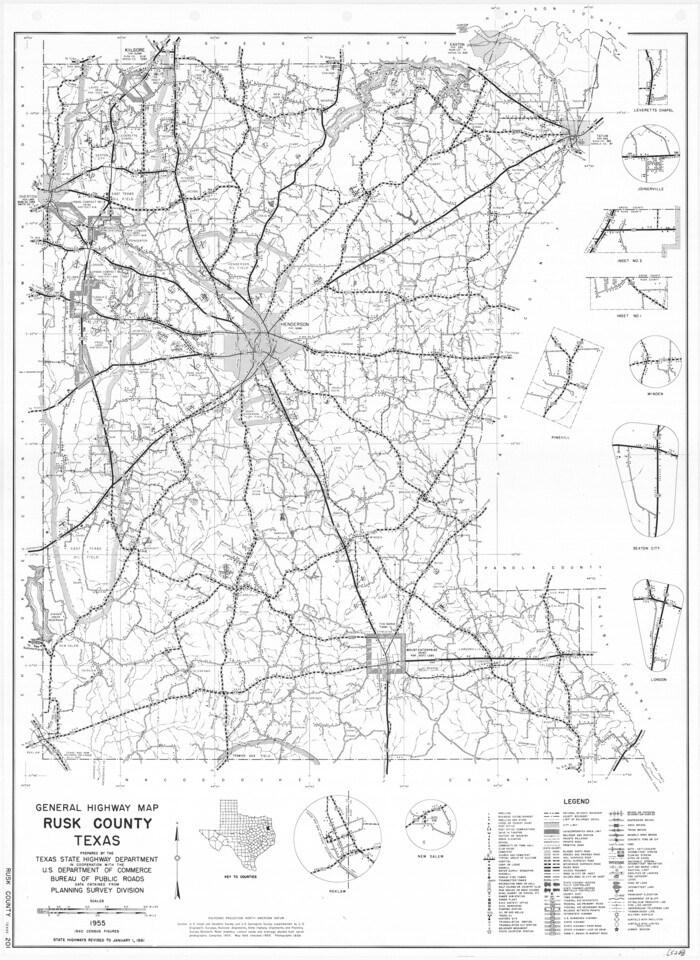
General Highway Map, Rusk County, Texas

Print $20.00
General Highway Map, Rusk County, Texas
1961
Size 24.9 x 18.2 inches
Map/Doc 79643
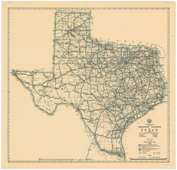
Official Map of the Highway System of Texas

Print $20.00
Official Map of the Highway System of Texas
1933
Size 26.1 x 27.0 inches
Map/Doc 79308
General Highway Map, Jackson County, Texas


Print $20.00
General Highway Map, Jackson County, Texas
1940
Size 18.3 x 24.8 inches
Map/Doc 79140
General Highway Map. Detail of Cities and Towns in Tarrant County, Texas. City Map, Fort Worth and vicinity, Tarrant County, Texas


Print $20.00
General Highway Map. Detail of Cities and Towns in Tarrant County, Texas. City Map, Fort Worth and vicinity, Tarrant County, Texas
1961
Size 18.4 x 25.1 inches
Map/Doc 79666
You may also like
Chambers County Rolled Sketch 21


Print $20.00
- Digital $50.00
Chambers County Rolled Sketch 21
1940
Size 42.2 x 44.9 inches
Map/Doc 8590
Asher and Adams' Texas - Western Portion


Print $20.00
- Digital $50.00
Asher and Adams' Texas - Western Portion
1874
Size 24.6 x 18.1 inches
Map/Doc 93787
Irion County Sketch File 5


Print $16.00
- Digital $50.00
Irion County Sketch File 5
1900
Size 14.4 x 8.9 inches
Map/Doc 27463
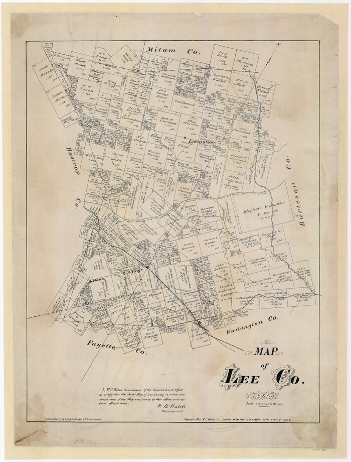
Map of Lee County, Texas

Print $20.00
- Digital $50.00
Map of Lee County, Texas
1879
Size 25.7 x 19.8 inches
Map/Doc 562
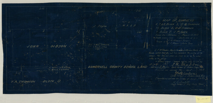
Map of Surveys 6, 7, & 8, Block 1, D.B. Gardner 7 1/2, Block L, D.B. Gardner 7, Block T, J.P. Goen

Print $20.00
- Digital $50.00
Map of Surveys 6, 7, & 8, Block 1, D.B. Gardner 7 1/2, Block L, D.B. Gardner 7, Block T, J.P. Goen
1917
Size 11.0 x 22.6 inches
Map/Doc 10762
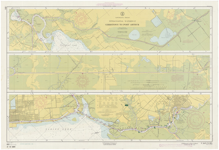
Intracoastal Waterway - Gibbstown to Port Arthur

Print $20.00
- Digital $50.00
Intracoastal Waterway - Gibbstown to Port Arthur
1961
Size 26.6 x 38.7 inches
Map/Doc 69833
Edwards Empresario Colony. April 15, 1825


Print $20.00
Edwards Empresario Colony. April 15, 1825
2020
Size 18.1 x 21.6 inches
Map/Doc 95993
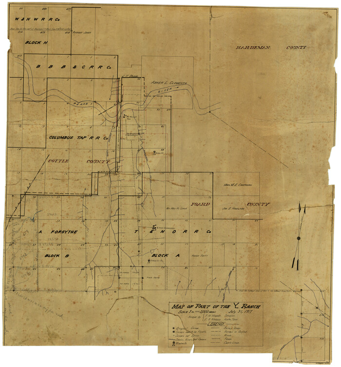
Map of Part of the YL Ranch

Print $20.00
- Digital $50.00
Map of Part of the YL Ranch
1917
Size 29.1 x 27.3 inches
Map/Doc 4442
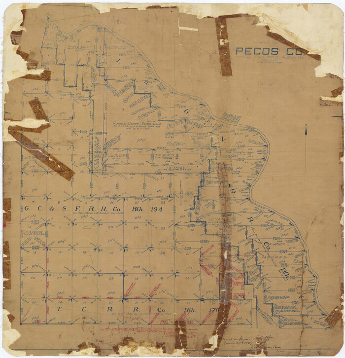
Pecos County Rolled Sketch 61

Print $20.00
- Digital $50.00
Pecos County Rolled Sketch 61
1925
Size 26.5 x 25.5 inches
Map/Doc 7233
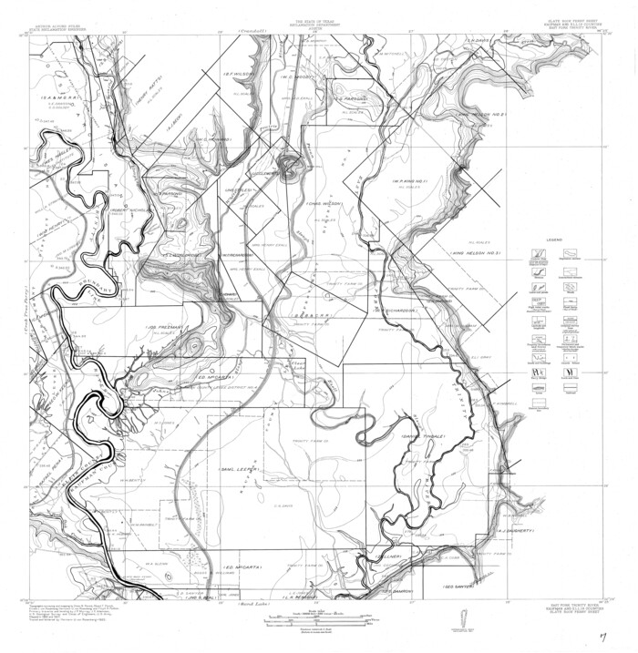
Trinity River, Slate Rock Ferry Sheet/East Fork of Trinity River

Print $6.00
- Digital $50.00
Trinity River, Slate Rock Ferry Sheet/East Fork of Trinity River
1922
Size 35.1 x 34.3 inches
Map/Doc 65185
Sabine County Working Sketch 8
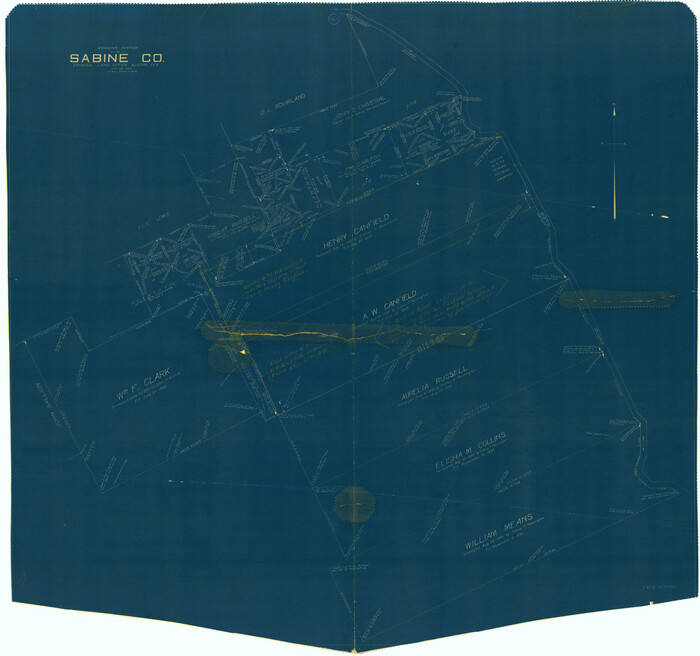

Print $20.00
- Digital $50.00
Sabine County Working Sketch 8
1923
Size 40.8 x 43.5 inches
Map/Doc 63679
Potter County Working Sketch 10


Print $20.00
- Digital $50.00
Potter County Working Sketch 10
1964
Size 32.6 x 25.0 inches
Map/Doc 71670
