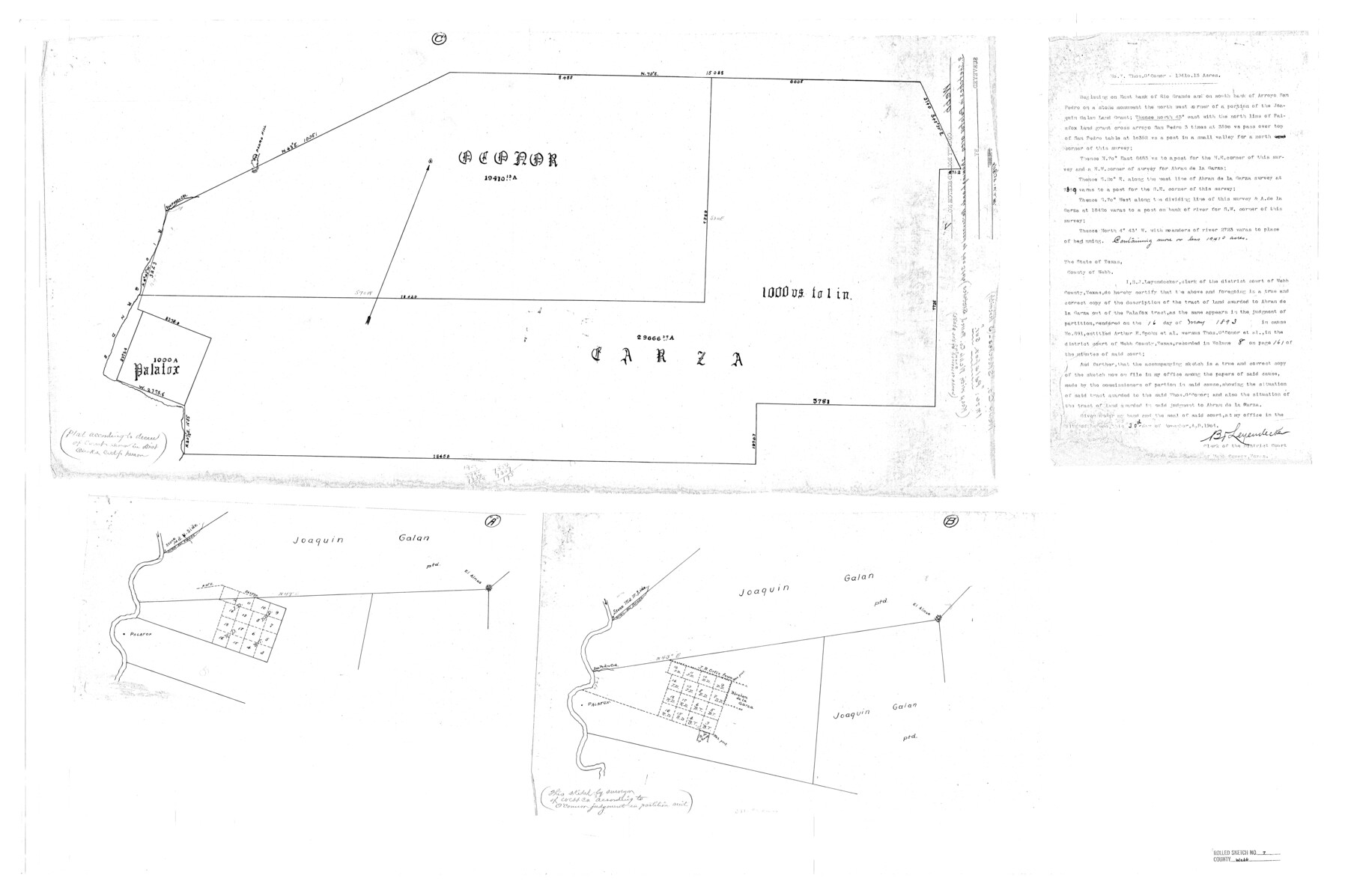
Webb County Rolled Sketch 7
[Three sketches in the Palafox area]
-
Map/Doc
8173
-
Collection
General Map Collection
-
Counties
Webb
-
Subjects
Surveying Rolled Sketch
-
Height x Width
29.1 x 43.7 inches
73.9 x 111.0 cm
-
Scale
1" = 1000 varas
Part of: General Map Collection
Working Sketch of surveys in Brazoria County, showing Cedar Lakes

Print $40.00
- Digital $50.00
Working Sketch of surveys in Brazoria County, showing Cedar Lakes
1950
Size 31.2 x 57.3 inches
Map/Doc 1932
Dallam County Working Sketch 3

Print $20.00
- Digital $50.00
Dallam County Working Sketch 3
1960
Size 13.8 x 30.5 inches
Map/Doc 68588
Freestone County Working Sketch 15

Print $40.00
- Digital $50.00
Freestone County Working Sketch 15
1980
Size 56.5 x 33.7 inches
Map/Doc 69257
Starr County Sketch File 27

Print $20.00
- Digital $50.00
Starr County Sketch File 27
1930
Size 22.2 x 34.0 inches
Map/Doc 12333
Bastrop County Sketch File 9A

Print $40.00
- Digital $50.00
Bastrop County Sketch File 9A
Map/Doc 88484
Borden County Rolled Sketch 6

Print $20.00
- Digital $50.00
Borden County Rolled Sketch 6
Size 24.6 x 18.6 inches
Map/Doc 5156
Wood County Rolled Sketch 1

Print $40.00
- Digital $50.00
Wood County Rolled Sketch 1
1941
Size 53.2 x 43.8 inches
Map/Doc 10159
Crockett County Sketch File 50a

Print $11.00
- Digital $50.00
Crockett County Sketch File 50a
Size 14.0 x 9.3 inches
Map/Doc 19807
Donley County Sketch File 21

Print $4.00
- Digital $50.00
Donley County Sketch File 21
Size 8.4 x 9.5 inches
Map/Doc 21256
Township No. 5 South Range No. 16 West of the Indian Meridian

Print $4.00
- Digital $50.00
Township No. 5 South Range No. 16 West of the Indian Meridian
1875
Size 17.8 x 22.6 inches
Map/Doc 75163
Flight Mission No. DAG-18K, Frame 186, Matagorda County

Print $20.00
- Digital $50.00
Flight Mission No. DAG-18K, Frame 186, Matagorda County
1952
Size 17.2 x 22.5 inches
Map/Doc 86378
Foard County Sketch File 15

Print $8.00
- Digital $50.00
Foard County Sketch File 15
1883
Size 13.0 x 8.5 inches
Map/Doc 22821
You may also like
Hamilton County Working Sketch 21

Print $40.00
- Digital $50.00
Hamilton County Working Sketch 21
1955
Size 52.4 x 43.7 inches
Map/Doc 63359
San Saba County Sketch File 8

Print $6.00
- Digital $50.00
San Saba County Sketch File 8
Size 6.6 x 7.9 inches
Map/Doc 36430
Rio Grande Rectification Project, El Paso and Juarez Valley

Print $20.00
- Digital $50.00
Rio Grande Rectification Project, El Paso and Juarez Valley
1935
Size 10.9 x 29.7 inches
Map/Doc 60860
Hunt County Rolled Sketch 4

Print $209.00
- Digital $50.00
Hunt County Rolled Sketch 4
1959
Size 10.4 x 15.2 inches
Map/Doc 45992
Map of part of Matagorda Island

Print $20.00
- Digital $50.00
Map of part of Matagorda Island
1859
Size 30.2 x 32.0 inches
Map/Doc 69982
Brewster County Rolled Sketch 28

Print $20.00
- Digital $50.00
Brewster County Rolled Sketch 28
1910
Size 25.6 x 29.4 inches
Map/Doc 5215
General Highway Map, Gray County, Texas

Print $20.00
General Highway Map, Gray County, Texas
1961
Size 18.1 x 24.7 inches
Map/Doc 79483
Political Essay on the Kingdom of New Spain Vol. 3

Political Essay on the Kingdom of New Spain Vol. 3
1822
Map/Doc 97388
Carson County Working Sketch 4

Print $20.00
- Digital $50.00
Carson County Working Sketch 4
1952
Size 26.1 x 37.0 inches
Map/Doc 67875
Wise County Sketch File 25

Print $4.00
- Digital $50.00
Wise County Sketch File 25
1860
Size 12.5 x 8.1 inches
Map/Doc 40572
The Republic County of Victoria. February 2, 1842

Print $20.00
The Republic County of Victoria. February 2, 1842
2020
Size 24.3 x 21.7 inches
Map/Doc 96299
Uvalde County Working Sketch 67

Print $20.00
- Digital $50.00
Uvalde County Working Sketch 67
2016
Size 24.4 x 36.6 inches
Map/Doc 94082