Webb County Rolled Sketch 32
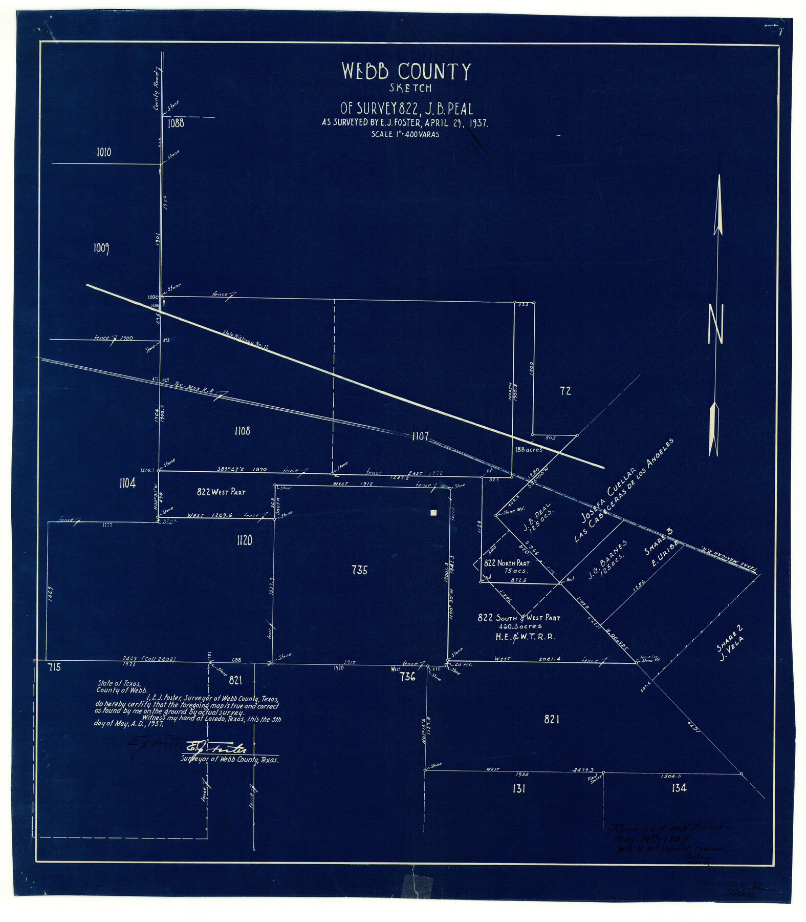
Webb County sketch of survey 822, J.B. Peal
-
Map/Doc
8188
-
Collection
General Map Collection
-
Object Dates
1937/4/29 (Survey Date)
1937/5/19 (File Date)
1937/5/5 (Creation Date)
-
People and Organizations
E.J. Foster (Surveyor/Engineer)
-
Counties
Webb
-
Subjects
Surveying Rolled Sketch
-
Height x Width
24.9 x 21.8 inches
63.2 x 55.4 cm
-
Medium
blueprint/diazo
-
Scale
1" = 400 varas
Part of: General Map Collection
Presidio County Working Sketch 15

Print $20.00
- Digital $50.00
Presidio County Working Sketch 15
1942
Size 38.1 x 41.3 inches
Map/Doc 71691
Montague County Sketch File 4

Print $22.00
- Digital $50.00
Montague County Sketch File 4
1855
Size 12.7 x 16.1 inches
Map/Doc 31715
Brewster County Working Sketch Graphic Index, North Part, Sheet 2 (Sketches 87 to Most Recent)

Print $20.00
- Digital $50.00
Brewster County Working Sketch Graphic Index, North Part, Sheet 2 (Sketches 87 to Most Recent)
1956
Size 41.8 x 39.5 inches
Map/Doc 76474
Harris County Sketch File B

Print $4.00
- Digital $50.00
Harris County Sketch File B
1860
Size 8.0 x 5.5 inches
Map/Doc 25309
Map of the River Sabine from Logan's Ferry to 32nd degree of north latitude

Print $3.00
- Digital $50.00
Map of the River Sabine from Logan's Ferry to 32nd degree of north latitude
1841
Size 8.7 x 11.1 inches
Map/Doc 94497
Map of Lampasas Co.

Print $20.00
- Digital $50.00
Map of Lampasas Co.
1888
Size 34.4 x 42.4 inches
Map/Doc 5080
Howard County Working Sketch 12

Print $20.00
- Digital $50.00
Howard County Working Sketch 12
1980
Size 39.2 x 37.0 inches
Map/Doc 66280
Flight Mission No. DIX-8P, Frame 91, Aransas County

Print $20.00
- Digital $50.00
Flight Mission No. DIX-8P, Frame 91, Aransas County
1956
Size 18.5 x 22.4 inches
Map/Doc 83916
Jeff Davis County Rolled Sketch 45

Print $40.00
- Digital $50.00
Jeff Davis County Rolled Sketch 45
2005
Size 91.3 x 44.0 inches
Map/Doc 87207
Mitchell County Boundary File 1c

Print $12.00
- Digital $50.00
Mitchell County Boundary File 1c
Size 8.7 x 12.3 inches
Map/Doc 57361
Parker County

Print $20.00
- Digital $50.00
Parker County
1942
Size 46.7 x 37.9 inches
Map/Doc 73258
Angelina County Working Sketch 12

Print $20.00
- Digital $50.00
Angelina County Working Sketch 12
1934
Size 40.8 x 37.9 inches
Map/Doc 67093
You may also like
Yoakum County Rolled Sketch 4

Print $20.00
- Digital $50.00
Yoakum County Rolled Sketch 4
Size 19.1 x 24.9 inches
Map/Doc 8289
Jefferson County Rolled Sketch 51

Print $20.00
- Digital $50.00
Jefferson County Rolled Sketch 51
1965
Size 39.1 x 38.0 inches
Map/Doc 9307
Kerr County Boundary File 4c

Print $4.00
- Digital $50.00
Kerr County Boundary File 4c
Size 3.7 x 12.3 inches
Map/Doc 64816
Wichita County Boundary File 5

Print $20.00
- Digital $50.00
Wichita County Boundary File 5
Size 11.0 x 38.5 inches
Map/Doc 59915
Hockley County Sketch File 12

Print $20.00
- Digital $50.00
Hockley County Sketch File 12
1902
Size 17.5 x 17.0 inches
Map/Doc 11772
La Salle County Sketch File A

Print $30.00
- Digital $50.00
La Salle County Sketch File A
1880
Size 8.1 x 12.5 inches
Map/Doc 29532
Morris County Rolled Sketch 2A

Print $20.00
- Digital $50.00
Morris County Rolled Sketch 2A
Size 24.3 x 19.2 inches
Map/Doc 10284
Kleberg County Aerial Photograph Index Sheet 3

Print $20.00
- Digital $50.00
Kleberg County Aerial Photograph Index Sheet 3
1956
Size 19.1 x 23.4 inches
Map/Doc 83720

Sketch of 103rd Meridian, W. L. showing Conflict of Capitol Leagues

Print $20.00
- Digital $50.00
Sketch of 103rd Meridian, W. L. showing Conflict of Capitol Leagues
Size 8.1 x 22.1 inches
Map/Doc 90578
City of Houston and Environs

Print $20.00
City of Houston and Environs
1895
Size 30.4 x 33.6 inches
Map/Doc 93486
Jefferson Co.

Print $20.00
- Digital $50.00
Jefferson Co.
1918
Size 47.1 x 41.0 inches
Map/Doc 66884