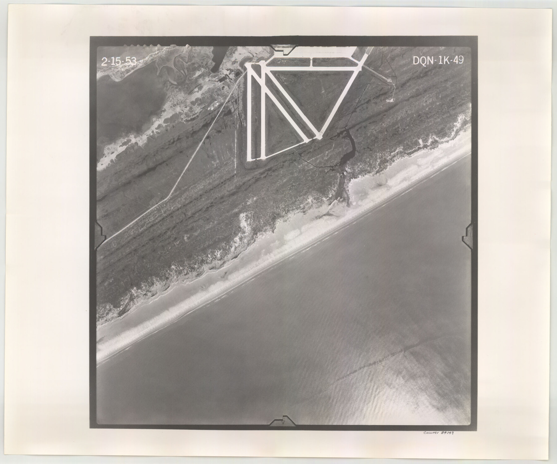
Flight Mission No. DQN-1K, Frame 49, Calhoun County
DQN-1K-49
-
Map/Doc
84149
-
Collection
General Map Collection
-
Object Dates
1953/2/15 (Creation Date)
-
People and Organizations
U. S. Department of Agriculture (Publisher)
-
Counties
Calhoun
-
Subjects
Aerial Photograph
-
Height x Width
18.6 x 22.4 inches
47.2 x 56.9 cm
-
Comments
Flown by Aero Exploration Company of Tulsa, Oklahoma.
Part of: General Map Collection
Kaufman County

Print $20.00
- Digital $50.00
Kaufman County
1942
Size 44.5 x 36.7 inches
Map/Doc 77335
General Homes Free Houston Area Map

General Homes Free Houston Area Map
Size 27.3 x 42.5 inches
Map/Doc 94394
Chambers County Rolled Sketch 33

Print $71.00
- Digital $50.00
Chambers County Rolled Sketch 33
1950
Size 10.7 x 15.6 inches
Map/Doc 44106
King County Working Sketch 17

Print $40.00
- Digital $50.00
King County Working Sketch 17
1979
Size 32.2 x 59.3 inches
Map/Doc 70181
No. IX - Outline map of the vicinity of Corpus Christi

Print $20.00
- Digital $50.00
No. IX - Outline map of the vicinity of Corpus Christi
Size 24.9 x 18.2 inches
Map/Doc 72966
Map of Bandera County

Print $20.00
- Digital $50.00
Map of Bandera County
1878
Size 19.3 x 29.4 inches
Map/Doc 3272
Brewster County Sketch File 47

Print $12.00
- Digital $50.00
Brewster County Sketch File 47
1939
Size 14.1 x 8.8 inches
Map/Doc 16321
[Sketch for Mineral Application 19560 - 19588 - San Bernard River]
![65580, [Sketch for Mineral Application 19560 - 19588 - San Bernard River], General Map Collection](https://historictexasmaps.com/wmedia_w700/maps/65580.tif.jpg)
Print $40.00
- Digital $50.00
[Sketch for Mineral Application 19560 - 19588 - San Bernard River]
1928
Size 98.2 x 33.1 inches
Map/Doc 65580
Travis County State Real Property Sketch 7

Print $20.00
- Digital $50.00
Travis County State Real Property Sketch 7
1985
Size 30.9 x 43.4 inches
Map/Doc 61699
PSL Field Notes for Block C24 in Loving and Winkler Counties, and Blocks C22 and C23 in Winkler County

PSL Field Notes for Block C24 in Loving and Winkler Counties, and Blocks C22 and C23 in Winkler County
Map/Doc 81677
Duval County Rolled Sketch 36

Print $20.00
- Digital $50.00
Duval County Rolled Sketch 36
1952
Size 27.7 x 21.9 inches
Map/Doc 5751
Edwards County Sketch File 21

Print $6.00
- Digital $50.00
Edwards County Sketch File 21
1889
Size 12.9 x 8.5 inches
Map/Doc 21740
You may also like
[Surveys in the Milam District along the Brazos River, North Bosque River, West Bosque River and Cow Bayou]
![231, [Surveys in the Milam District along the Brazos River, North Bosque River, West Bosque River and Cow Bayou], General Map Collection](https://historictexasmaps.com/wmedia_w700/maps/231.tif.jpg)
Print $2.00
- Digital $50.00
[Surveys in the Milam District along the Brazos River, North Bosque River, West Bosque River and Cow Bayou]
1846
Size 11.7 x 8.9 inches
Map/Doc 231
General Highway Map, Wise County, Texas

Print $20.00
General Highway Map, Wise County, Texas
1940
Size 18.2 x 24.8 inches
Map/Doc 79284
Val Verde County Sketch File Z11

Print $40.00
- Digital $50.00
Val Verde County Sketch File Z11
1895
Size 17.6 x 12.7 inches
Map/Doc 39138
Map showing the environs of Brazos Island, Texas

Print $20.00
- Digital $50.00
Map showing the environs of Brazos Island, Texas
Size 18.2 x 25.0 inches
Map/Doc 72925
Hutchinson County Rolled Sketch 37A

Print $40.00
- Digital $50.00
Hutchinson County Rolled Sketch 37A
1950
Size 26.0 x 51.1 inches
Map/Doc 9247
Tarrant County

Print $20.00
- Digital $50.00
Tarrant County
1873
Size 19.6 x 18.0 inches
Map/Doc 4630
Upton County Working Sketch 59

Print $20.00
- Digital $50.00
Upton County Working Sketch 59
1987
Size 21.5 x 34.3 inches
Map/Doc 69556
Flight Mission No. BQR-7K, Frame 26, Brazoria County

Print $20.00
- Digital $50.00
Flight Mission No. BQR-7K, Frame 26, Brazoria County
1952
Size 18.7 x 22.3 inches
Map/Doc 84024
Upton County Rolled Sketch 28

Print $20.00
- Digital $50.00
Upton County Rolled Sketch 28
Size 19.6 x 27.5 inches
Map/Doc 8075
Map of Kerr County

Print $20.00
- Digital $50.00
Map of Kerr County
1878
Size 20.5 x 25.7 inches
Map/Doc 3762
Potter County Rolled Sketch 6

Print $20.00
- Digital $50.00
Potter County Rolled Sketch 6
Size 26.3 x 35.0 inches
Map/Doc 7320
Matagorda County Working Sketch Graphic Index, Sheet 2 (Sketches 17 to Most Recent)

Print $40.00
- Digital $50.00
Matagorda County Working Sketch Graphic Index, Sheet 2 (Sketches 17 to Most Recent)
1920
Size 40.1 x 48.6 inches
Map/Doc 76634