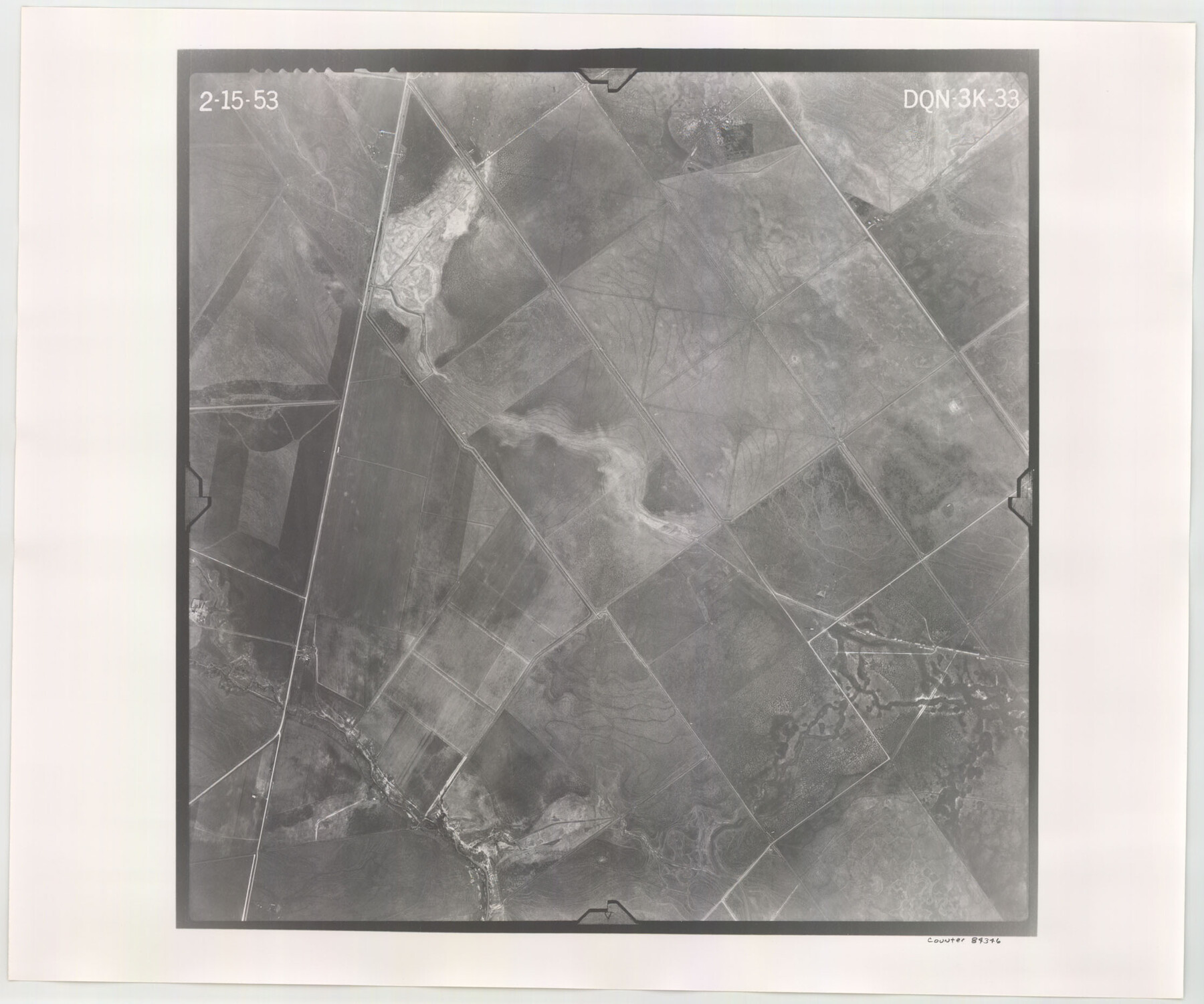
Flight Mission No. DQN-3K, Frame 33, Calhoun County
DQN-3K-33
-
Map/Doc
84346
-
Collection
General Map Collection
-
Object Dates
1953/2/15 (Creation Date)
-
People and Organizations
U. S. Department of Agriculture (Publisher)
-
Counties
Calhoun
-
Subjects
Aerial Photograph
-
Height x Width
18.6 x 22.3 inches
47.2 x 56.6 cm
-
Comments
Flown by Aero Exploration Company of Tulsa, Oklahoma.
Part of: General Map Collection
Orange County Sketch File 9b

Print $22.00
- Digital $50.00
Orange County Sketch File 9b
1873
Size 14.6 x 12.6 inches
Map/Doc 33315
Flight Mission No. DQN-6K, Frame 73, Calhoun County

Print $20.00
- Digital $50.00
Flight Mission No. DQN-6K, Frame 73, Calhoun County
1953
Size 18.5 x 22.1 inches
Map/Doc 84445
Gregg County Working Sketch 25

Print $20.00
- Digital $50.00
Gregg County Working Sketch 25
2006
Size 22.6 x 34.0 inches
Map/Doc 83095
Flight Mission No. CGI-4N, Frame 24, Cameron County

Print $20.00
- Digital $50.00
Flight Mission No. CGI-4N, Frame 24, Cameron County
1954
Size 18.6 x 22.3 inches
Map/Doc 84657
Hemphill County Working Sketch 12

Print $20.00
- Digital $50.00
Hemphill County Working Sketch 12
1967
Size 23.3 x 34.9 inches
Map/Doc 66107
Foard County Boundary File 2a

Print $40.00
- Digital $50.00
Foard County Boundary File 2a
Size 33.2 x 14.7 inches
Map/Doc 53514
Liberty County Working Sketch Graphic Index - east part

Print $20.00
- Digital $50.00
Liberty County Working Sketch Graphic Index - east part
1977
Size 46.0 x 34.5 inches
Map/Doc 76620
Hays County Working Sketch 20

Print $40.00
- Digital $50.00
Hays County Working Sketch 20
1980
Size 42.9 x 65.6 inches
Map/Doc 66094
Travis County Sketch File 54

Print $20.00
- Digital $50.00
Travis County Sketch File 54
1945
Size 23.0 x 16.5 inches
Map/Doc 12470
Township No. 5 South Range No. 10 West of the Indian Meridian

Print $20.00
- Digital $50.00
Township No. 5 South Range No. 10 West of the Indian Meridian
1874
Size 19.2 x 24.5 inches
Map/Doc 75161
San Jacinto County Sketch File 12

Print $4.00
San Jacinto County Sketch File 12
1873
Size 9.7 x 8.2 inches
Map/Doc 35720
San Patricio County Rolled Sketch 54

Print $20.00
- Digital $50.00
San Patricio County Rolled Sketch 54
1995
Size 25.3 x 36.5 inches
Map/Doc 7740
You may also like
Map of Orange County

Print $20.00
- Digital $50.00
Map of Orange County
1880
Size 15.2 x 19.2 inches
Map/Doc 3930
Chambers County Rolled Sketch FD

Print $20.00
- Digital $50.00
Chambers County Rolled Sketch FD
1935
Size 32.7 x 26.5 inches
Map/Doc 5433
Knox County Working Sketch 14

Print $20.00
- Digital $50.00
Knox County Working Sketch 14
1953
Size 21.7 x 31.1 inches
Map/Doc 70256
Frio County Sketch File 12

Print $18.00
- Digital $50.00
Frio County Sketch File 12
1938
Size 14.2 x 8.7 inches
Map/Doc 23127
Hardeman County Sketch File 10

Print $4.00
- Digital $50.00
Hardeman County Sketch File 10
1884
Size 13.2 x 8.3 inches
Map/Doc 25006
Lubbock County Boundary File 5

Print $2.00
- Digital $50.00
Lubbock County Boundary File 5
Size 7.2 x 8.2 inches
Map/Doc 56493
Lavaca County Working Sketch 17

Print $20.00
- Digital $50.00
Lavaca County Working Sketch 17
1979
Size 34.7 x 44.6 inches
Map/Doc 70370
Upshur County Sketch File 13B

Print $20.00
- Digital $50.00
Upshur County Sketch File 13B
1936
Size 20.5 x 32.3 inches
Map/Doc 12504
Gregg County Working Sketch 19

Print $20.00
- Digital $50.00
Gregg County Working Sketch 19
1957
Size 31.7 x 37.3 inches
Map/Doc 63286
Carte du Mexique et de la Floride des Terres Angloises et des Isles Antilles du Cours et des Environs de la Riviere Mississipi

Print $20.00
- Digital $50.00
Carte du Mexique et de la Floride des Terres Angloises et des Isles Antilles du Cours et des Environs de la Riviere Mississipi
1703
Size 21.8 x 30.0 inches
Map/Doc 94852
Trinity River, Branch Sheet/East Fork of Trinity River

Print $20.00
- Digital $50.00
Trinity River, Branch Sheet/East Fork of Trinity River
1931
Size 41.4 x 19.6 inches
Map/Doc 65240
Gray's New Map of Texas and the Indian Territory

Print $20.00
- Digital $50.00
Gray's New Map of Texas and the Indian Territory
1876
Size 17.6 x 28.6 inches
Map/Doc 97282