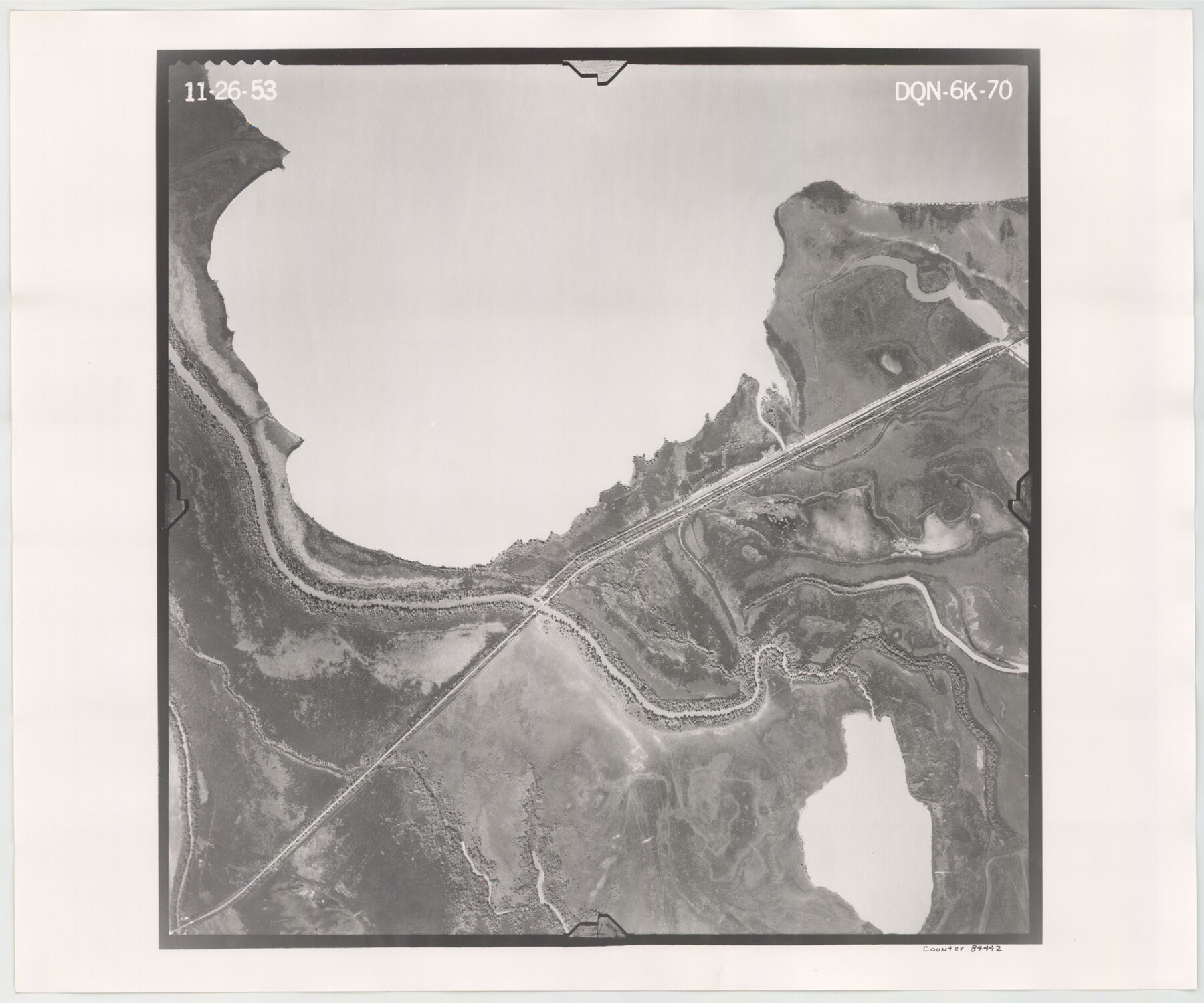
Flight Mission No. DQN-6K, Frame 70, Calhoun County
DQN-6K-70
- 
                          Map/Doc84442
- 
                            CollectionGeneral Map Collection
- 
                            Object Dates1953/11/26 (Creation Date)
- 
                            People and OrganizationsU. S. Department of Agriculture (Publisher)
- 
                            CountiesCalhoun
- 
                            SubjectsAerial Photograph
- 
                            Height x Width18.5 x 22.2 inches47.0 x 56.4 cm
- 
                            CommentsFlown by Aero Exploration Company of Tulsa, Oklahoma.
Part of: General Map Collection
            McMullen County Sketch File 8


                                            Print $4.00                    
                                             -                         Digital $50.00                                    
                McMullen County Sketch File 8
1876
Size 8.6 x 8.8 inches
                                Map/Doc 31349
            
            Flight Mission No. CGI-3N, Frame 134, Cameron County


                                            Print $20.00                    
                                             -                         Digital $50.00                                    
                Flight Mission No. CGI-3N, Frame 134, Cameron County
1954
Size 18.4 x 22.2 inches
                                Map/Doc 84607
            
            Galveston County NRC Article 33.136 Location Key Sheet


                                            Print $20.00                    
                                             -                         Digital $50.00                                    
                Galveston County NRC Article 33.136 Location Key Sheet
1994
Size 27.0 x 21.8 inches
                                Map/Doc 77024
            
            Cochran County Rolled Sketch 2


                                            Print $20.00                    
                                             -                         Digital $50.00                                    
                Cochran County Rolled Sketch 2
1940
Size 27.7 x 33.9 inches
                                Map/Doc 5500
            
            Harris County Sketch File 12


                                            Print $40.00                    
                                             -                         Digital $50.00                                    
                Harris County Sketch File 12
1896
Size 16.1 x 12.5 inches
                                Map/Doc 25353
            
            Flight Mission No. BRA-7M, Frame 134, Jefferson County


                                            Print $20.00                    
                                             -                         Digital $50.00                                    
                Flight Mission No. BRA-7M, Frame 134, Jefferson County
1953
Size 18.6 x 22.5 inches
                                Map/Doc 85528
            
            Kinney County Working Sketch 28


                                            Print $6.00                    
                                             -                         Digital $50.00                                    
                Kinney County Working Sketch 28
1957
Size 33.3 x 34.4 inches
                                Map/Doc 70210
            
            [Map of the dividing line between Milam and Travis Counties]
            
                                    ![110, [Map of the dividing line between Milam and Travis Counties], General Map Collection](https://historictexasmaps.com/wmedia_w700/maps/110.tif.jpg) 


    ![110, [Map of the dividing line between Milam and Travis Counties], General Map Collection](https://historictexasmaps.com/wmedia_w700/maps/110.tif.jpg) 
                                
            
                                            Print $20.00                    
                                             -                         Digital $50.00                                    
                [Map of the dividing line between Milam and Travis Counties]
1841
Size 14.2 x 12.8 inches
                                Map/Doc 110
            
            Nautical Chart 152-SC - Galveston Bay, Texas


                                            Print $20.00                    
                                             -                         Digital $50.00                                    
                Nautical Chart 152-SC - Galveston Bay, Texas
1972
Size 15.5 x 33.2 inches
                                Map/Doc 69890
            
            Garza County Sketch File 26a


                                            Print $20.00                    
                                             -                         Digital $50.00                                    
                Garza County Sketch File 26a
1915
Size 13.1 x 23.9 inches
                                Map/Doc 11547
            
            Pecos County Rolled Sketch DK1


                                            Print $20.00                    
                                             -                         Digital $50.00                                    
                Pecos County Rolled Sketch DK1
1938
Size 36.2 x 43.7 inches
                                Map/Doc 9713
            
            Tom Green County Rolled Sketch 26


                                            Print $40.00                    
                                             -                         Digital $50.00                                    
                Tom Green County Rolled Sketch 26
Size 40.0 x 48.3 inches
                                Map/Doc 10007
            You may also like
            Map of Wilbarger County, Texas


                                            Print $20.00                    
                                    
                Map of Wilbarger County, Texas
1887
Size 11.8 x 8.7 inches
                                Map/Doc 93587
            
            Flight Mission No. BQY-4M, Frame 124, Harris County


                                            Print $20.00                    
                                             -                         Digital $50.00                                    
                Flight Mission No. BQY-4M, Frame 124, Harris County
1953
Size 18.7 x 22.4 inches
                                Map/Doc 85292
            
            Map of the Reconnaissance in Texas by Lieuts Blake & Meade of the Corps of Topl. Engrs.


                                            Print $20.00                    
                                             -                         Digital $50.00                                    
                Map of the Reconnaissance in Texas by Lieuts Blake & Meade of the Corps of Topl. Engrs.
1845
Size 27.6 x 18.2 inches
                                Map/Doc 72891
            
            [Sketch for Mineral Application 33721 - 33725  Incl. - Padre and Mustang Island]
            
                                    ![2879, [Sketch for Mineral Application 33721 - 33725  Incl. - Padre and Mustang Island], General Map Collection](https://historictexasmaps.com/wmedia_w700/maps/2879.tif.jpg) 


    ![2879, [Sketch for Mineral Application 33721 - 33725  Incl. - Padre and Mustang Island], General Map Collection](https://historictexasmaps.com/wmedia_w700/maps/2879.tif.jpg) 
                                
            
                                            Print $20.00                    
                                             -                         Digital $50.00                                    
                [Sketch for Mineral Application 33721 - 33725 Incl. - Padre and Mustang Island]
1942
Size 29.4 x 22.2 inches
                                Map/Doc 2879
            
            Starr County Sketch File 31A


                                            Print $20.00                    
                                             -                         Digital $50.00                                    
                Starr County Sketch File 31A
1936
Size 24.5 x 13.3 inches
                                Map/Doc 12335
            
            Liberty County Sketch File 41


                                            Print $2.00                    
                                             -                         Digital $50.00                                    
                Liberty County Sketch File 41
1872
Size 12.5 x 8.5 inches
                                Map/Doc 29997
            
            Edwards County Sketch File 47


                                            Print $24.00                    
                                             -                         Digital $50.00                                    
                Edwards County Sketch File 47
1955
Size 11.4 x 8.9 inches
                                Map/Doc 21795
            
            Terrell County Working Sketch 52


                                            Print $40.00                    
                                             -                         Digital $50.00                                    
                Terrell County Working Sketch 52
1958
Size 49.2 x 42.5 inches
                                Map/Doc 62145
            
            Lampasas County Boundary File 2a


                                            Print $8.00                    
                                             -                         Digital $50.00                                    
                Lampasas County Boundary File 2a
Size 14.3 x 8.6 inches
                                Map/Doc 56097
            
            Clay County Sketch File 9a


                                            Print $6.00                    
                                             -                         Digital $50.00                                    
                Clay County Sketch File 9a
1855
Size 10.7 x 6.1 inches
                                Map/Doc 18403
            
            Terrell County Working Sketch 2


                                            Print $20.00                    
                                             -                         Digital $50.00                                    
                Terrell County Working Sketch 2
1908
Size 19.8 x 24.2 inches
                                Map/Doc 62150
             
                            