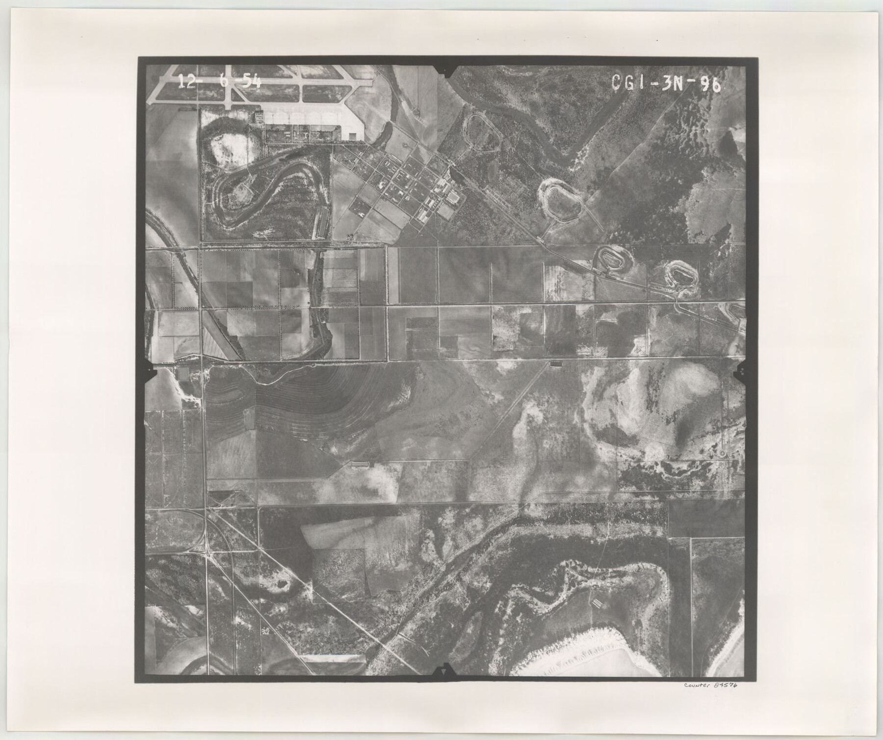
Flight Mission No. CGI-3N, Frame 96, Cameron County
CGI-3N-96
-
Map/Doc
84576
-
Collection
General Map Collection
-
Object Dates
1954/12/6 (Creation Date)
-
People and Organizations
U. S. Department of Agriculture (Publisher)
-
Counties
Cameron
-
Subjects
Aerial Photograph
-
Height x Width
18.5 x 22.1 inches
47.0 x 56.1 cm
-
Comments
Flown by Puckett Aerial Surveys, Inc. of Jackson, Mississippi.
Part of: General Map Collection

Pecos County Working Sketch 61

Print $20.00
- Digital $50.00
Pecos County Working Sketch 61
1952
Size 28.4 x 22.7 inches
Map/Doc 71533

Flight Mission No. DCL-7C, Frame 142, Kenedy County

Print $20.00
- Digital $50.00
Flight Mission No. DCL-7C, Frame 142, Kenedy County
1943
Size 18.6 x 22.5 inches
Map/Doc 86099
Parker County Working Sketch 15

Print $20.00
- Digital $50.00
Parker County Working Sketch 15
1982
Map/Doc 71465
Bandera County Rolled Sketch 13

Print $20.00
- Digital $50.00
Bandera County Rolled Sketch 13
2018
Size 25.0 x 20.7 inches
Map/Doc 95304
Marion County Working Sketch 43

Print $20.00
- Digital $50.00
Marion County Working Sketch 43
2002
Size 28.6 x 29.0 inches
Map/Doc 78214
Brewster County Working Sketch 109

Print $20.00
- Digital $50.00
Brewster County Working Sketch 109
1981
Size 25.2 x 37.0 inches
Map/Doc 67709
La Salle County Working Sketch 25

Print $20.00
- Digital $50.00
La Salle County Working Sketch 25
1947
Size 32.8 x 41.0 inches
Map/Doc 70326
Edwards County Rolled Sketch ECS

Print $20.00
- Digital $50.00
Edwards County Rolled Sketch ECS
1937
Size 24.8 x 38.2 inches
Map/Doc 5817
Kinney County Rolled Sketch 3

Print $20.00
- Digital $50.00
Kinney County Rolled Sketch 3
Size 31.4 x 23.2 inches
Map/Doc 6535
[Maps of surveys in Reeves & Culberson Cos]
![61136, [Maps of surveys in Reeves & Culberson Cos], General Map Collection](https://historictexasmaps.com/wmedia_w700/maps/61136.tif.jpg)
Print $20.00
- Digital $50.00
[Maps of surveys in Reeves & Culberson Cos]
1937
Size 30.5 x 24.7 inches
Map/Doc 61136
You may also like
Denton County Working Sketch 22

Print $20.00
- Digital $50.00
Denton County Working Sketch 22
1983
Size 36.1 x 34.0 inches
Map/Doc 68627
Topographical Map of the Rio Grande, Sheet No. 15

Print $20.00
- Digital $50.00
Topographical Map of the Rio Grande, Sheet No. 15
1912
Map/Doc 89539
Hutchinson County Sketch File 23

Print $22.00
- Digital $50.00
Hutchinson County Sketch File 23
1913
Size 11.2 x 8.8 inches
Map/Doc 27245
Floyd County Sketch File 7

Print $4.00
- Digital $50.00
Floyd County Sketch File 7
Size 8.9 x 14.3 inches
Map/Doc 22697
Surveys in Reeves and Culberson Counties, Texas and Pacific Railroad Company, Blocks 58, 59, 60, and 61

Print $20.00
- Digital $50.00
Surveys in Reeves and Culberson Counties, Texas and Pacific Railroad Company, Blocks 58, 59, 60, and 61
1937
Size 30.7 x 25.3 inches
Map/Doc 2250
Flight Mission No. CRC-2R, Frame 191, Chambers County

Print $20.00
- Digital $50.00
Flight Mission No. CRC-2R, Frame 191, Chambers County
1956
Size 18.6 x 22.4 inches
Map/Doc 84769
Lamar County Working Sketch 10

Print $20.00
- Digital $50.00
Lamar County Working Sketch 10
1980
Size 18.6 x 15.4 inches
Map/Doc 70271

Eastham State Farm - Houston, Walker Counties and Ferguson State Farm, Madison County

Print $20.00
- Digital $50.00
Eastham State Farm - Houston, Walker Counties and Ferguson State Farm, Madison County
Size 27.7 x 40.3 inches
Map/Doc 62975

Navigation Maps of Gulf Intracoastal Waterway, Port Arthur to Brownsville, Texas

Print $4.00
- Digital $50.00
Navigation Maps of Gulf Intracoastal Waterway, Port Arthur to Brownsville, Texas
1951
Size 16.7 x 21.6 inches
Map/Doc 65447
Bee County Working Sketch 8

Print $20.00
- Digital $50.00
Bee County Working Sketch 8
1939
Size 18.0 x 20.5 inches
Map/Doc 67258