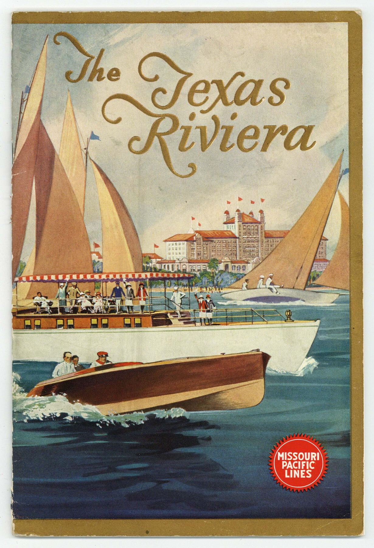
The Texas Riviera
The Beautiful Gulf Coast and the winter resort cities Houston-Galveston-Corpus Christi
-
Map/Doc
97063
-
Collection
Cobb Digital Map Collection
-
Object Dates
1926 (Creation Date)
-
People and Organizations
Missouri Pacific Lines (Publisher)
Poole Bros. (Printer)
-
Subjects
Coastal Railroads
-
Height x Width
9.4 x 6.4 inches
23.9 x 16.3 cm
-
Medium
booklet
-
Comments
Courtesy of John & Diana Cobb.
Part of: Cobb Digital Map Collection
Phelps's National Map of the United States, a Travellers Guide. Embracing the principal railroads, canals, steamboat & stage routes, throughout the Union

Print $20.00
- Digital $50.00
Phelps's National Map of the United States, a Travellers Guide. Embracing the principal railroads, canals, steamboat & stage routes, throughout the Union
1849
Size 20.9 x 26.3 inches
Map/Doc 95901
Map of Texas with population and location of principal towns and cities according to latest reliable statistics

Print $20.00
- Digital $50.00
Map of Texas with population and location of principal towns and cities according to latest reliable statistics
1912
Size 18.0 x 20.2 inches
Map/Doc 95876

Map of the Southern Pacific Company and connections

Print $20.00
- Digital $50.00
Map of the Southern Pacific Company and connections
1890
Size 9.6 x 23.8 inches
Map/Doc 95759
Map of the Southern and South-western States engraved to accompany Appletons' hand book of American travel

Print $20.00
- Digital $50.00
Map of the Southern and South-western States engraved to accompany Appletons' hand book of American travel
1849
Size 13.0 x 17.8 inches
Map/Doc 95902
Under Sapphire Skies San Antonio

Under Sapphire Skies San Antonio
1928
Size 9.4 x 6.4 inches
Map/Doc 97043
Southern Homes in Southern Texas, The Celebrated Coast Country

Southern Homes in Southern Texas, The Celebrated Coast Country
1899
Size 6.2 x 3.7 inches
Map/Doc 97050


Arlancy the Land of Plenty Farms

Print $20.00
- Digital $50.00
Arlancy the Land of Plenty Farms
1925
Size 10.9 x 16.6 inches
Map/Doc 96737
The Rand McNally New Commercial Atlas Map of Texas

Print $20.00
- Digital $50.00
The Rand McNally New Commercial Atlas Map of Texas
1918
Size 28.6 x 40.2 inches
Map/Doc 95851
Scenes Around Carrizo Springs, Texas the Hub of the Winter Garden District

Print $20.00
- Digital $50.00
Scenes Around Carrizo Springs, Texas the Hub of the Winter Garden District
1920
Size 8.8 x 15.5 inches
Map/Doc 96767
You may also like
Sutton County Rolled Sketch 36

Print $20.00
- Digital $50.00
Sutton County Rolled Sketch 36
1887
Size 27.3 x 33.4 inches
Map/Doc 7880
Bee County Working Sketch 19

Print $20.00
- Digital $50.00
Bee County Working Sketch 19
1980
Size 17.3 x 11.9 inches
Map/Doc 67269
Rains County Sketch File 1

Print $6.00
- Digital $50.00
Rains County Sketch File 1
Size 5.9 x 9.1 inches
Map/Doc 34942
Roberts County Sketch File 10

Print $32.00
- Digital $50.00
Roberts County Sketch File 10
2016
Size 11.0 x 8.5 inches
Map/Doc 94070
A Pocket Guide to Austin, Texas - Area Map and Downtown Map

A Pocket Guide to Austin, Texas - Area Map and Downtown Map
Size 17.2 x 20.2 inches
Map/Doc 94386
[Township 3 North, Blocks 31 and 32]
![91213, [Township 3 North, Blocks 31 and 32], Twichell Survey Records](https://historictexasmaps.com/wmedia_w700/maps/91213-1.tif.jpg)
Print $3.00
- Digital $50.00
[Township 3 North, Blocks 31 and 32]
Size 12.5 x 10.8 inches
Map/Doc 91213
Harris County Sketch File 100

Print $518.00
- Digital $50.00
Harris County Sketch File 100
1991
Size 11.5 x 8.8 inches
Map/Doc 25674
Map of Crockett County

Print $40.00
- Digital $50.00
Map of Crockett County
1878
Size 62.6 x 49.7 inches
Map/Doc 93373
Outer Continental Shelf Leasing Maps (Louisiana Offshore Operations)

Print $20.00
- Digital $50.00
Outer Continental Shelf Leasing Maps (Louisiana Offshore Operations)
1959
Size 17.9 x 13.8 inches
Map/Doc 76104
Jefferson County Rolled Sketch 25A

Print $20.00
- Digital $50.00
Jefferson County Rolled Sketch 25A
Size 24.4 x 39.6 inches
Map/Doc 6389
Sabine River, Toll Bridge Sheet

Print $40.00
- Digital $50.00
Sabine River, Toll Bridge Sheet
1933
Size 27.8 x 51.9 inches
Map/Doc 65136
Palo Pinto County Rolled Sketch 9

Print $40.00
- Digital $50.00
Palo Pinto County Rolled Sketch 9
Size 78.0 x 30.9 inches
Map/Doc 9675