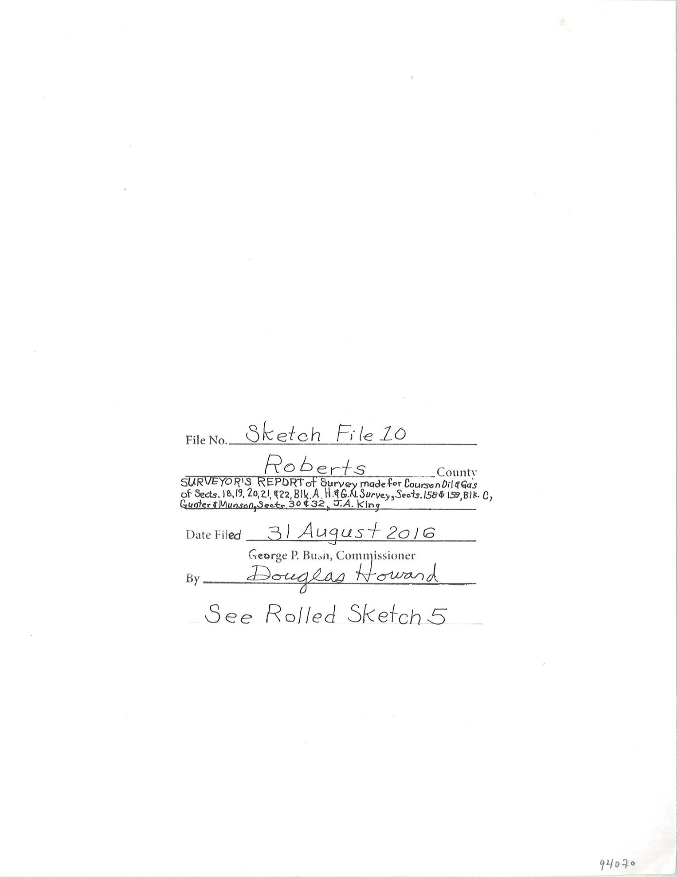
Roberts County Sketch File 10
Surveyor's report of survey made for Courson Oil and Gas of sections 18, 19, 20, 21 and 22, Blk A, H. & G. N. surveys; sections 158 & 159, Blk C, Gunter & Munson; sections 30 & 32, J.A. King
-
Map/Doc
94070
-
Collection
General Map Collection
-
Object Dates
6/28/2016 (Creation Date)
8/31/2016 (File Date)
-
People and Organizations
Maxey Sheppard (Surveyor/Engineer)
-
Counties
Roberts Ochiltree
-
Subjects
Surveying Sketch File
-
Height x Width
11.0 x 8.5 inches
27.9 x 21.6 cm
-
Medium
paper, print
-
Comments
See Roberts County Rolled Sketch 5 (94071) for sketch.
-
Features
Canadian River
Fort Bent
Horseshoe Canyon
Rogers Ranch House
Couch Creek
Lips Ranch
Related maps
Roberts County Rolled Sketch 5

Print $20.00
- Digital $50.00
Roberts County Rolled Sketch 5
2015
Size 42.6 x 25.0 inches
Map/Doc 94071
Part of: General Map Collection
Coryell County

Print $20.00
- Digital $50.00
Coryell County
1936
Size 44.6 x 40.1 inches
Map/Doc 77249
Runnels County Rolled Sketch 45

Print $20.00
- Digital $50.00
Runnels County Rolled Sketch 45
1954
Size 32.1 x 41.0 inches
Map/Doc 7532
Kingston South Quadrangle

Print $20.00
- Digital $50.00
Kingston South Quadrangle
1999
Size 35.4 x 23.4 inches
Map/Doc 97364
Dallam County Sketch File 14

Print $4.00
- Digital $50.00
Dallam County Sketch File 14
1949
Size 11.3 x 8.8 inches
Map/Doc 20379
Coke County Sketch File 21

Print $20.00
- Digital $50.00
Coke County Sketch File 21
1911
Size 12.6 x 14.0 inches
Map/Doc 18614
Hutchinson County Sketch File 31

Print $20.00
- Digital $50.00
Hutchinson County Sketch File 31
Size 19.9 x 15.2 inches
Map/Doc 11819
Origin of Imports and Destination of Exports at Texas City, Tex., during 1921

Print $20.00
- Digital $50.00
Origin of Imports and Destination of Exports at Texas City, Tex., during 1921
1921
Size 13.4 x 24.9 inches
Map/Doc 97163
Trinity County Sketch File 15

Print $6.00
- Digital $50.00
Trinity County Sketch File 15
Size 14.5 x 10.4 inches
Map/Doc 38542
Jim Wells County Rolled Sketch 1

Print $20.00
- Digital $50.00
Jim Wells County Rolled Sketch 1
1981
Size 43.2 x 32.4 inches
Map/Doc 9324
Schleicher County Sketch File 32

Print $22.00
- Digital $50.00
Schleicher County Sketch File 32
1941
Size 9.1 x 13.3 inches
Map/Doc 36532
[Surveys in Austin's Colony at Matagorda Bay and along the Trespalacios and Colorado Rivers]
![147, [Surveys in Austin's Colony at Matagorda Bay and along the Trespalacios and Colorado Rivers], General Map Collection](https://historictexasmaps.com/wmedia_w700/maps/147.tif.jpg)
Print $20.00
- Digital $50.00
[Surveys in Austin's Colony at Matagorda Bay and along the Trespalacios and Colorado Rivers]
1821
Size 31.6 x 20.5 inches
Map/Doc 147
Edwards County Working Sketch 132

Print $20.00
- Digital $50.00
Edwards County Working Sketch 132
1985
Size 37.1 x 37.1 inches
Map/Doc 69008
You may also like
Webb County Rolled Sketch 19

Print $40.00
- Digital $50.00
Webb County Rolled Sketch 19
1928
Size 27.9 x 53.7 inches
Map/Doc 10119
Location from Del Rio to Johnstone, Southern Pacific Railway Co.

Print $20.00
- Digital $50.00
Location from Del Rio to Johnstone, Southern Pacific Railway Co.
Size 13.3 x 44.3 inches
Map/Doc 64290
McCulloch County

Print $40.00
- Digital $50.00
McCulloch County
1904
Size 49.2 x 35.5 inches
Map/Doc 66921
[Edwards County]
![4939, [Edwards County], General Map Collection](https://historictexasmaps.com/wmedia_w700/maps/4939-1.tif.jpg)
Print $40.00
- Digital $50.00
[Edwards County]
1900
Size 48.6 x 32.4 inches
Map/Doc 4939
Lee County Rolled Sketch 3

Print $20.00
- Digital $50.00
Lee County Rolled Sketch 3
2010
Size 25.5 x 36.0 inches
Map/Doc 89288
[St. L. S.-W. Ry. of Texas, Map of Lufkin Branch in Smith County, Texas]
![64693, [St. L. S.-W. Ry. of Texas, Map of Lufkin Branch in Smith County, Texas], General Map Collection](https://historictexasmaps.com/wmedia_w700/maps/64693.tif.jpg)
Print $40.00
- Digital $50.00
[St. L. S.-W. Ry. of Texas, Map of Lufkin Branch in Smith County, Texas]
1912
Size 24.2 x 121.2 inches
Map/Doc 64693
Flight Mission No. BRA-7M, Frame 41, Jefferson County

Print $20.00
- Digital $50.00
Flight Mission No. BRA-7M, Frame 41, Jefferson County
1953
Size 18.6 x 22.3 inches
Map/Doc 85492
Flight Mission No. CGI-1N, Frame 175, Cameron County

Print $20.00
- Digital $50.00
Flight Mission No. CGI-1N, Frame 175, Cameron County
1955
Size 18.7 x 22.2 inches
Map/Doc 84510
[Surveys in the vicinity of Falls County School Land]
![90168, [Surveys in the vicinity of Falls County School Land], Twichell Survey Records](https://historictexasmaps.com/wmedia_w700/maps/90168-1.tif.jpg)
Print $20.00
- Digital $50.00
[Surveys in the vicinity of Falls County School Land]
Size 32.5 x 37.1 inches
Map/Doc 90168
Flight Mission No. DQN-1K, Frame 112, Calhoun County

Print $20.00
- Digital $50.00
Flight Mission No. DQN-1K, Frame 112, Calhoun County
1953
Size 18.6 x 22.3 inches
Map/Doc 84179
Flight Mission No. CUG-2P, Frame 24, Kleberg County

Print $20.00
- Digital $50.00
Flight Mission No. CUG-2P, Frame 24, Kleberg County
1956
Size 18.4 x 22.3 inches
Map/Doc 86188
Panola County Sketch File 17

Print $20.00
- Digital $50.00
Panola County Sketch File 17
Size 15.2 x 17.7 inches
Map/Doc 12137