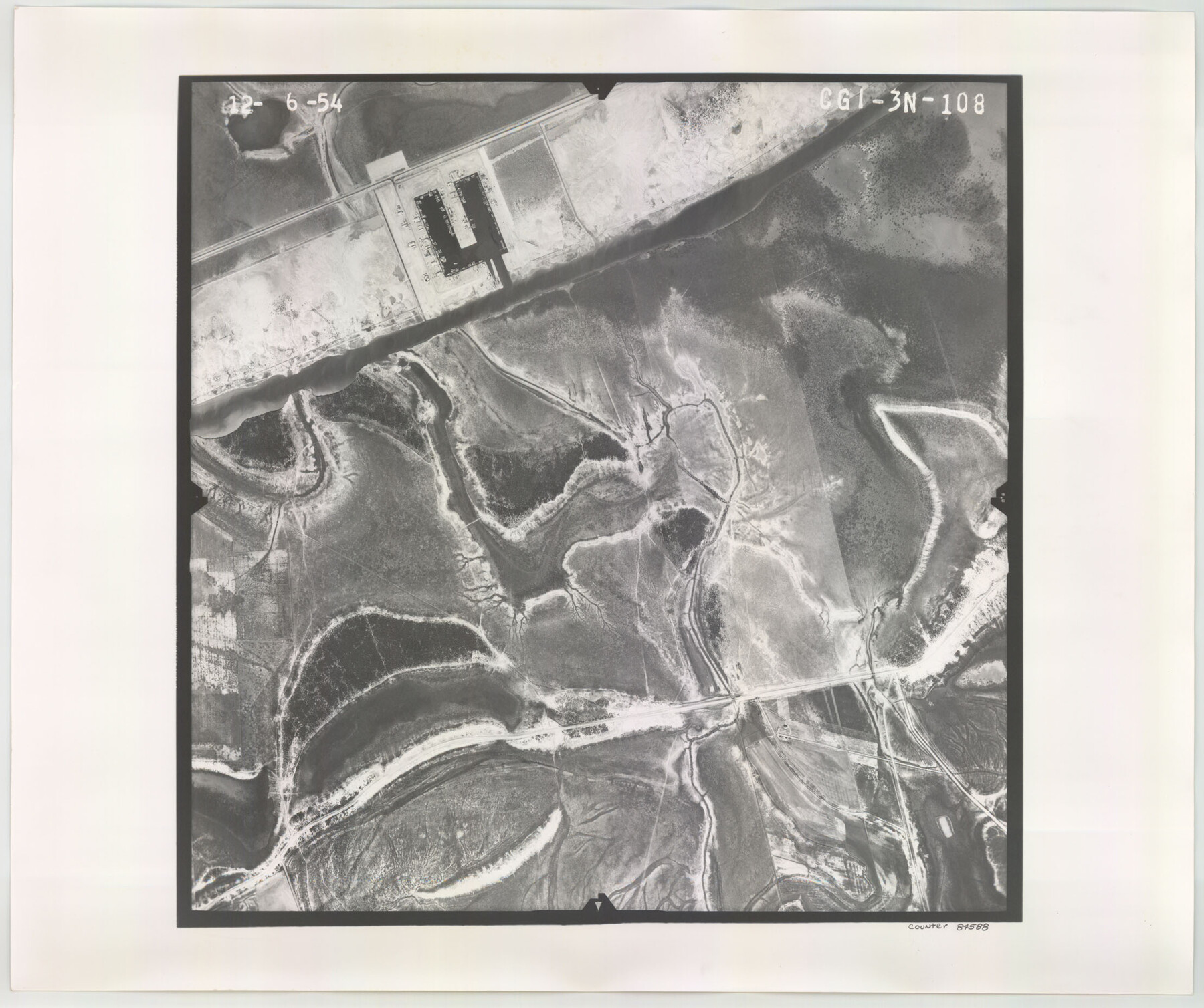
Flight Mission No. CGI-3N, Frame 108, Cameron County
CGI-3N-108
-
Map/Doc
84588
-
Collection
General Map Collection
-
Object Dates
1954/12/6 (Creation Date)
-
People and Organizations
U. S. Department of Agriculture (Publisher)
-
Counties
Cameron
-
Subjects
Aerial Photograph
-
Height x Width
18.6 x 22.2 inches
47.2 x 56.4 cm
-
Comments
Flown by Puckett Aerial Surveys, Inc. of Jackson, Mississippi.
Part of: General Map Collection
Dimmit County Working Sketch 48

Print $40.00
- Digital $50.00
Dimmit County Working Sketch 48
1980
Size 78.7 x 43.7 inches
Map/Doc 68709
Liberty County Sketch File 19

Print $6.00
- Digital $50.00
Liberty County Sketch File 19
1859
Size 13.6 x 9.4 inches
Map/Doc 29923
Map Showing the Barranco Blanco, Rincon del Oso, and Rincon de Corpus Christi Grants

Print $40.00
- Digital $50.00
Map Showing the Barranco Blanco, Rincon del Oso, and Rincon de Corpus Christi Grants
1886
Size 58.8 x 80.1 inches
Map/Doc 16781

Sterling County Rolled Sketch 36

Print $20.00
- Digital $50.00
Sterling County Rolled Sketch 36
Size 24.2 x 38.0 inches
Map/Doc 7860
Haskell County Rolled Sketch 3

Print $20.00
- Digital $50.00
Haskell County Rolled Sketch 3
1902
Size 18.1 x 21.0 inches
Map/Doc 6164
Van Zandt County Sketch File 38

Print $4.00
- Digital $50.00
Van Zandt County Sketch File 38
1871
Size 8.2 x 10.1 inches
Map/Doc 39482
Anderson County Working Sketch Graphic Index

Print $40.00
- Digital $50.00
Anderson County Working Sketch Graphic Index
1942
Size 52.0 x 48.3 inches
Map/Doc 76452
Colorado River, Danevang Sheet

Print $6.00
- Digital $50.00
Colorado River, Danevang Sheet
1940
Size 24.6 x 35.2 inches
Map/Doc 65321
Pecos County Sketch File 116

Print $6.00
- Digital $50.00
Pecos County Sketch File 116
1913
Size 10.9 x 8.8 inches
Map/Doc 34092
Oil Fields of the Texas-Louisiana Gulf Coastal Plain

Oil Fields of the Texas-Louisiana Gulf Coastal Plain
1903
Map/Doc 97518
Old Miscellaneous File 29

Print $4.00
- Digital $50.00
Old Miscellaneous File 29
1838
Size 7.4 x 12.5 inches
Map/Doc 75738
You may also like
Live Oak County Working Sketch 32

Print $20.00
- Digital $50.00
Live Oak County Working Sketch 32
1992
Size 12.0 x 16.7 inches
Map/Doc 70617
Gillespie County Working Sketch 10

Print $20.00
- Digital $50.00
Gillespie County Working Sketch 10
1994
Size 45.0 x 35.1 inches
Map/Doc 63173
Carson County Boundary File 9

Print $74.00
- Digital $50.00
Carson County Boundary File 9
Size 9.0 x 8.9 inches
Map/Doc 51175
Atascosa County Rolled Sketch 5A

Print $20.00
- Digital $50.00
Atascosa County Rolled Sketch 5A
1910
Size 20.8 x 14.4 inches
Map/Doc 5089
Current Miscellaneous File 109

Print $9.00
- Digital $50.00
Current Miscellaneous File 109
1967
Size 9.7 x 10.3 inches
Map/Doc 74710
Wichita County Boundary File 2b

Print $4.00
- Digital $50.00
Wichita County Boundary File 2b
Size 8.9 x 8.8 inches
Map/Doc 59911
Upton County Rolled Sketch 47

Print $20.00
- Digital $50.00
Upton County Rolled Sketch 47
1937
Size 22.6 x 35.3 inches
Map/Doc 8083
Hutchinson County Working Sketch Graphic Index - sheet 1

Print $20.00
- Digital $50.00
Hutchinson County Working Sketch Graphic Index - sheet 1
1922
Size 44.1 x 36.8 inches
Map/Doc 76586
Flight Mission No. DCL-5C, Frame 29, Kenedy County

Print $20.00
- Digital $50.00
Flight Mission No. DCL-5C, Frame 29, Kenedy County
1943
Size 18.4 x 22.4 inches
Map/Doc 85841
Kleberg County Rolled Sketch 10-9

Print $20.00
- Digital $50.00
Kleberg County Rolled Sketch 10-9
1952
Size 37.1 x 33.1 inches
Map/Doc 9387
Tyler County Rolled Sketch 8

Print $20.00
- Digital $50.00
Tyler County Rolled Sketch 8
1965
Size 18.1 x 25.4 inches
Map/Doc 8058
Terrell County Working Sketch 65

Print $40.00
- Digital $50.00
Terrell County Working Sketch 65
1972
Size 49.0 x 44.8 inches
Map/Doc 69586