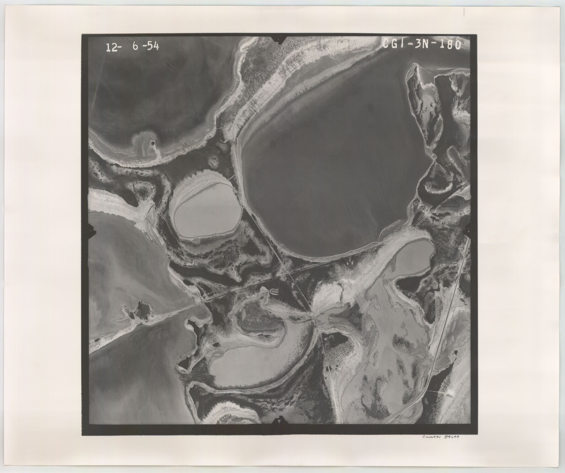
Flight Mission No. CGI-3N, Frame 180, Cameron County
CGI-3N-180
-
Map/Doc
84644
-
Collection
General Map Collection
-
Object Dates
1954/12/6 (Creation Date)
-
People and Organizations
U. S. Department of Agriculture (Publisher)
-
Counties
Cameron
-
Subjects
Aerial Photograph
-
Height x Width
18.6 x 22.2 inches
47.2 x 56.4 cm
-
Comments
Flown by Puckett Aerial Surveys, Inc. of Jackson, Mississippi.
Part of: General Map Collection
Leon County Rolled Sketch 32

Print $20.00
- Digital $50.00
Leon County Rolled Sketch 32
Size 34.2 x 40.7 inches
Map/Doc 6616
Hardin County Sketch File 37

Print $20.00
- Digital $50.00
Hardin County Sketch File 37
Size 20.4 x 17.7 inches
Map/Doc 11633
Presidio County Working Sketch Graphic Index, Northeast Part

Print $20.00
- Digital $50.00
Presidio County Working Sketch Graphic Index, Northeast Part
1973
Size 40.3 x 32.2 inches
Map/Doc 76674
Hopkins County Sketch File 2

Print $28.00
- Digital $50.00
Hopkins County Sketch File 2
1845
Size 11.1 x 7.9 inches
Map/Doc 26678
Sabine County Sketch File 6a

Print $4.00
Sabine County Sketch File 6a
1878
Size 8.1 x 12.5 inches
Map/Doc 35615

Natural Heritage of Texas

Print $40.00
- Digital $50.00
Natural Heritage of Texas
1986
Size 54.3 x 56.0 inches
Map/Doc 10786
Houston County Working Sketch 16

Print $20.00
- Digital $50.00
Houston County Working Sketch 16
1962
Size 13.4 x 15.6 inches
Map/Doc 66246
Gaines County Rolled Sketch 24

Print $20.00
- Digital $50.00
Gaines County Rolled Sketch 24
1965
Size 41.8 x 31.3 inches
Map/Doc 9314

[Surveys in the Montgomery District: San Jacinto River and Caney Creek, Navidad, Navasota]
![33, [Surveys in the Montgomery District: San Jacinto River and Caney Creek, Navidad, Navasota], General Map Collection](https://historictexasmaps.com/wmedia_w700/maps/33.tif.jpg)
Print $2.00
- Digital $50.00
[Surveys in the Montgomery District: San Jacinto River and Caney Creek, Navidad, Navasota]
1846
Size 8.8 x 6.0 inches
Map/Doc 33
Potter County Boundary File 3b

Print $12.00
- Digital $50.00
Potter County Boundary File 3b
Size 9.8 x 6.4 inches
Map/Doc 57979
You may also like
Newton County Rolled Sketch JFB

Print $20.00
- Digital $50.00
Newton County Rolled Sketch JFB
1936
Size 16.0 x 38.3 inches
Map/Doc 6858
Concho County Sketch File 16

Print $20.00
- Digital $50.00
Concho County Sketch File 16
Size 8.2 x 18.6 inches
Map/Doc 11151
Sketch of 103rd Meridian, W. L. Showing Conflict of Capitol Leagues

Print $40.00
- Digital $50.00
Sketch of 103rd Meridian, W. L. Showing Conflict of Capitol Leagues
Size 25.8 x 122.0 inches
Map/Doc 65504
[T. & P. Block 44, Township 1S]
![90814, [T. & P. Block 44, Township 1S], Twichell Survey Records](https://historictexasmaps.com/wmedia_w700/maps/90814-2.tif.jpg)
Print $20.00
- Digital $50.00
[T. & P. Block 44, Township 1S]
Size 10.4 x 23.2 inches
Map/Doc 90814
Sterling County Sketch File 2

Print $6.00
- Digital $50.00
Sterling County Sketch File 2
Size 10.7 x 15.6 inches
Map/Doc 37113
[T. & G. Ry. Main Line, Texas, Right of Way Map, Center to Gary]
![64569, [T. & G. Ry. Main Line, Texas, Right of Way Map, Center to Gary], General Map Collection](https://historictexasmaps.com/wmedia_w700/maps/64569-1.tif.jpg)
Print $40.00
- Digital $50.00
[T. & G. Ry. Main Line, Texas, Right of Way Map, Center to Gary]
1917
Size 31.5 x 76.7 inches
Map/Doc 64569
Flight Mission No. BQY-15M, Frame 4, Harris County

Print $20.00
- Digital $50.00
Flight Mission No. BQY-15M, Frame 4, Harris County
1953
Size 18.6 x 22.4 inches
Map/Doc 85302

Bird's Eye View of the City of Austin, Travis County, Texas

Print $20.00
Bird's Eye View of the City of Austin, Travis County, Texas
1873
Size 21.3 x 28.7 inches
Map/Doc 89217
Lavaca County Working Sketch Graphic Index

Print $40.00
- Digital $50.00
Lavaca County Working Sketch Graphic Index
1946
Size 49.9 x 41.5 inches
Map/Doc 76616
[Sketch showing parts of Blocks 3, 5, 22, M-20, S, T and Block BB, surveys 1, 2 and 3]
![91729, [Sketch showing parts of Blocks 3, 5, 22, M-20, S, T and Block BB, surveys 1, 2 and 3], Twichell Survey Records](https://historictexasmaps.com/wmedia_w700/maps/91729-1.tif.jpg)
Print $20.00
- Digital $50.00
[Sketch showing parts of Blocks 3, 5, 22, M-20, S, T and Block BB, surveys 1, 2 and 3]
Size 15.9 x 15.3 inches
Map/Doc 91729
Flight Mission No. DCL-7C, Frame 145, Kenedy County

Print $20.00
- Digital $50.00
Flight Mission No. DCL-7C, Frame 145, Kenedy County
1943
Size 18.6 x 22.5 inches
Map/Doc 86102