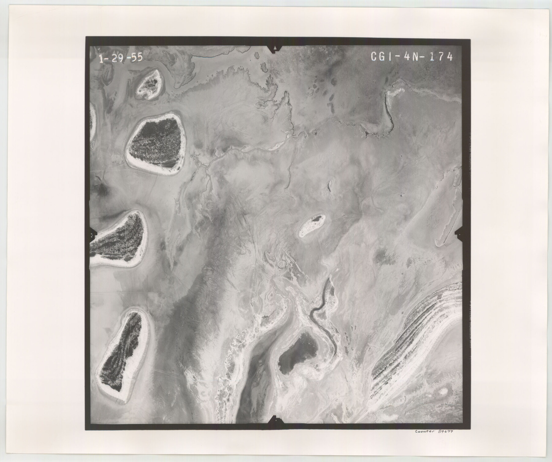
Flight Mission No. CGI-4N, Frame 174, Cameron County
CGI-4N-174
-
Map/Doc
84677
-
Collection
General Map Collection
-
Object Dates
1955/1/29 (Creation Date)
-
People and Organizations
U. S. Department of Agriculture (Publisher)
-
Counties
Cameron
-
Subjects
Aerial Photograph
-
Height x Width
18.7 x 22.3 inches
47.5 x 56.6 cm
-
Comments
Flown by Puckett Aerial Surveys, Inc. of Jackson, Mississippi.
Part of: General Map Collection
Jeff Davis County Rolled Sketch 30

Print $20.00
- Digital $50.00
Jeff Davis County Rolled Sketch 30
Size 35.7 x 29.7 inches
Map/Doc 6378
Flight Mission No. DCL-7C, Frame 119, Kenedy County

Print $20.00
- Digital $50.00
Flight Mission No. DCL-7C, Frame 119, Kenedy County
1943
Size 18.5 x 22.3 inches
Map/Doc 86084
Reagan County Sketch File 23

Print $24.00
- Digital $50.00
Reagan County Sketch File 23
1939
Size 11.3 x 8.8 inches
Map/Doc 35016
[Surveys in the Jefferson District]
![3177, [Surveys in the Jefferson District], General Map Collection](https://historictexasmaps.com/wmedia_w700/maps/3177.tif.jpg)
Print $2.00
- Digital $50.00
[Surveys in the Jefferson District]
1841
Size 9.8 x 8.0 inches
Map/Doc 3177
Sabine County Sketch File 7

Print $2.00
Sabine County Sketch File 7
1882
Size 8.6 x 12.7 inches
Map/Doc 35619
Flight Mission No. CRC-3R, Frame 103, Chambers County

Print $20.00
- Digital $50.00
Flight Mission No. CRC-3R, Frame 103, Chambers County
1956
Size 18.7 x 22.4 inches
Map/Doc 84841
Midland County Sketch File 11

Print $20.00
- Digital $50.00
Midland County Sketch File 11
1936
Size 21.6 x 17.5 inches
Map/Doc 12086
Flight Mission No. DCL-7C, Frame 51, Kenedy County

Print $20.00
- Digital $50.00
Flight Mission No. DCL-7C, Frame 51, Kenedy County
1943
Size 16.6 x 16.4 inches
Map/Doc 86039

Val Verde County Sketch File 21A

Print $20.00
- Digital $50.00
Val Verde County Sketch File 21A
Size 25.9 x 43.8 inches
Map/Doc 10419
Hutchinson County Sketch File 49

Print $30.00
- Digital $50.00
Hutchinson County Sketch File 49
1992
Size 14.2 x 8.6 inches
Map/Doc 27419
Johnson County Rolled Sketch 4

Print $20.00
- Digital $50.00
Johnson County Rolled Sketch 4
Size 24.8 x 36.0 inches
Map/Doc 94047
You may also like

Jeff Davis County Rolled Sketch 22

Print $399.00
- Digital $50.00
Jeff Davis County Rolled Sketch 22
Size 17.2 x 15.8 inches
Map/Doc 6487
Dawson County Sketch File 24

Print $8.00
- Digital $50.00
Dawson County Sketch File 24
Size 12.5 x 8.7 inches
Map/Doc 20577
Bee County Working Sketch 33

Print $20.00
- Digital $50.00
Bee County Working Sketch 33
1980
Size 32.0 x 28.2 inches
Map/Doc 67284
Flight Mission No. DAG-18K, Frame 76, Matagorda County

Print $20.00
- Digital $50.00
Flight Mission No. DAG-18K, Frame 76, Matagorda County
1952
Size 17.5 x 22.1 inches
Map/Doc 86369
Flight Mission No. CGI-3N, Frame 124, Cameron County

Print $20.00
- Digital $50.00
Flight Mission No. CGI-3N, Frame 124, Cameron County
1954
Size 18.5 x 22.2 inches
Map/Doc 84597
Lynn County Sketch File 11

Print $4.00
- Digital $50.00
Lynn County Sketch File 11
1906
Size 14.2 x 8.6 inches
Map/Doc 30478
Pecos County Rolled Sketch 22

Print $40.00
- Digital $50.00
Pecos County Rolled Sketch 22
1886
Size 73.4 x 45.2 inches
Map/Doc 93461
Mitchell County

Print $20.00
- Digital $50.00
Mitchell County
1971
Size 43.6 x 37.0 inches
Map/Doc 95592
The Official Map of the City of El Paso, State of Texas

Print $40.00
The Official Map of the City of El Paso, State of Texas
1889
Size 83.6 x 97.2 inches
Map/Doc 89619

Wichita County Sketch File 10

Print $4.00
- Digital $50.00
Wichita County Sketch File 10
Size 12.7 x 8.3 inches
Map/Doc 40054