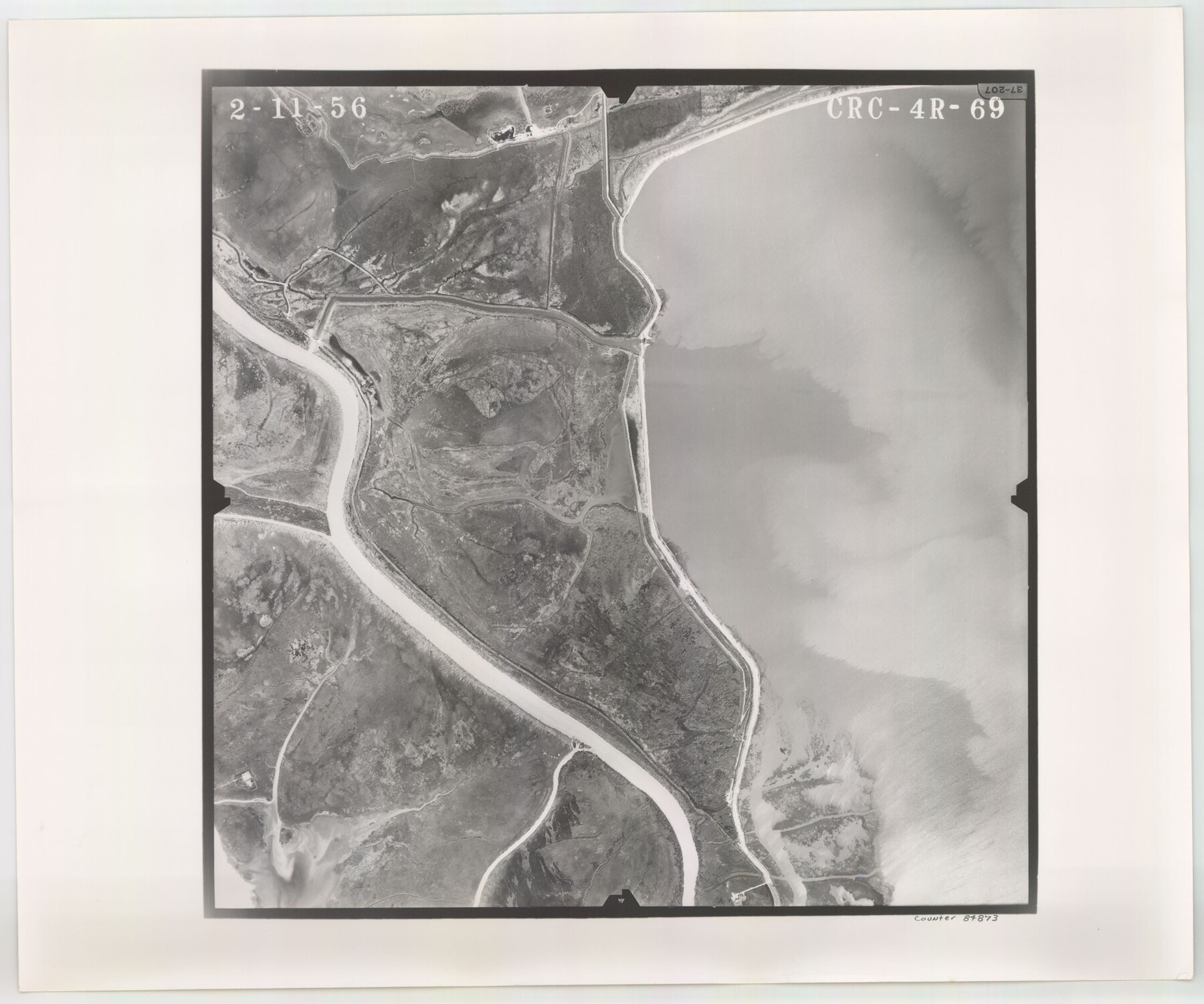
Flight Mission No. CRC-4R, Frame 69, Chambers County
CRC-4R-69
-
Map/Doc
84873
-
Collection
General Map Collection
-
Object Dates
1956/2/11 (Creation Date)
-
People and Organizations
U. S. Department of Agriculture (Publisher)
-
Counties
Chambers
-
Subjects
Aerial Photograph
-
Height x Width
18.7 x 22.4 inches
47.5 x 56.9 cm
-
Comments
Flown by Jack Ammann Photogrammetric Engineers, Inc. of San Antonio, Texas.
Part of: General Map Collection
Wood County Working Sketch 1

Print $20.00
- Digital $50.00
Wood County Working Sketch 1
1904
Size 19.7 x 16.2 inches
Map/Doc 62001
Uvalde County Rolled Sketch 16

Print $20.00
- Digital $50.00
Uvalde County Rolled Sketch 16
Size 36.6 x 25.1 inches
Map/Doc 8100
El Paso County Working Sketch 25

Print $20.00
- Digital $50.00
El Paso County Working Sketch 25
1962
Size 42.7 x 41.9 inches
Map/Doc 69047
Runnels County Sketch File 16

Print $20.00
Runnels County Sketch File 16
1879
Size 17.0 x 9.1 inches
Map/Doc 35470
Red River County Working Sketch 16

Print $20.00
- Digital $50.00
Red River County Working Sketch 16
1953
Size 21.8 x 23.4 inches
Map/Doc 71999
East Portion of Matagorda Bay in Matagorda County, showing Subdivision for Mineral Development

Print $40.00
- Digital $50.00
East Portion of Matagorda Bay in Matagorda County, showing Subdivision for Mineral Development
1949
Size 30.8 x 51.1 inches
Map/Doc 1909
Travis County

Print $40.00
- Digital $50.00
Travis County
1963
Size 37.7 x 50.7 inches
Map/Doc 73597
Dimmit County Working Sketch 48

Print $40.00
- Digital $50.00
Dimmit County Working Sketch 48
1980
Size 78.7 x 43.7 inches
Map/Doc 68709
Hardeman County Rolled Sketch 23

Print $20.00
- Digital $50.00
Hardeman County Rolled Sketch 23
1952
Size 34.6 x 30.8 inches
Map/Doc 10671
Flight Mission No. BRE-1P, Frame 140, Nueces County

Print $20.00
- Digital $50.00
Flight Mission No. BRE-1P, Frame 140, Nueces County
1956
Size 18.8 x 22.7 inches
Map/Doc 86700
Flight Mission No. DCL-6C, Frame 24, Kenedy County

Print $20.00
- Digital $50.00
Flight Mission No. DCL-6C, Frame 24, Kenedy County
1943
Size 18.8 x 22.4 inches
Map/Doc 85881
Galveston County Sketch File 56

Print $4.00
- Digital $50.00
Galveston County Sketch File 56
1892
Size 11.2 x 8.8 inches
Map/Doc 23601
You may also like
Flight Mission No. DQO-11K, Frame 18, Galveston County

Print $20.00
- Digital $50.00
Flight Mission No. DQO-11K, Frame 18, Galveston County
1952
Size 18.7 x 22.4 inches
Map/Doc 85211
[Sketch showing the Rio Grande with towns and features annotated]
![72895, [Sketch showing the Rio Grande with towns and features annotated], General Map Collection](https://historictexasmaps.com/wmedia_w700/maps/72895.tif.jpg)
Print $20.00
- Digital $50.00
[Sketch showing the Rio Grande with towns and features annotated]
1854
Size 24.4 x 18.3 inches
Map/Doc 72895

Map of Waller County

Print $20.00
- Digital $50.00
Map of Waller County
1897
Size 46.7 x 28.9 inches
Map/Doc 16915
Map of Dallas, Tarrant and part of Ellis County and Peters Colony

Print $20.00
- Digital $50.00
Map of Dallas, Tarrant and part of Ellis County and Peters Colony
1853
Size 25.8 x 32.0 inches
Map/Doc 1970
Right of Way and Track Map International & Gt. Northern Ry. operated by the International & Gt. Northern Ry. Co., Gulf Division, Columbia Branch

Print $40.00
- Digital $50.00
Right of Way and Track Map International & Gt. Northern Ry. operated by the International & Gt. Northern Ry. Co., Gulf Division, Columbia Branch
1917
Size 25.1 x 57.0 inches
Map/Doc 64600
Section 50, H. & G. N. Block 1

Print $20.00
- Digital $50.00
Section 50, H. & G. N. Block 1
Size 18.8 x 24.9 inches
Map/Doc 90816
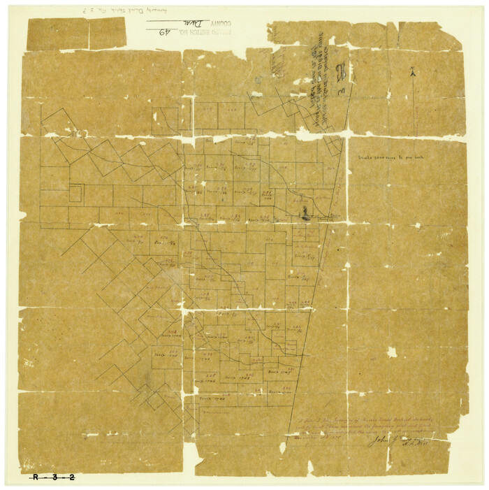
Duval County Rolled Sketch 49
Print $20.00
- Digital $50.00
Duval County Rolled Sketch 49
1875
Size 17.8 x 17.6 inches
Map/Doc 5763
St. Louis, Brownsville & Mexico Railway Location Map from Mile 0 to Mile 20

Print $40.00
- Digital $50.00
St. Louis, Brownsville & Mexico Railway Location Map from Mile 0 to Mile 20
1906
Size 19.3 x 57.7 inches
Map/Doc 64076
Hudspeth County Working Sketch 9

Print $20.00
- Digital $50.00
Hudspeth County Working Sketch 9
1938
Size 20.1 x 41.1 inches
Map/Doc 66290
The Woodlands, a real hometown for people and companies

The Woodlands, a real hometown for people and companies
Size 39.7 x 26.4 inches
Map/Doc 94288
Flight Mission No. DQN-1K, Frame 114, Calhoun County

Print $20.00
- Digital $50.00
Flight Mission No. DQN-1K, Frame 114, Calhoun County
1953
Size 18.5 x 22.3 inches
Map/Doc 84180