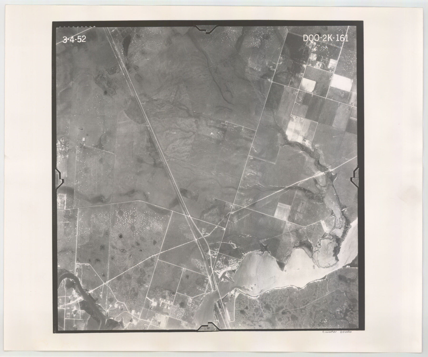
Flight Mission No. DQO-2K, Frame 161, Galveston County
DQO-2K-161
-
Map/Doc
85050
-
Collection
General Map Collection
-
Object Dates
1952/3/4 (Creation Date)
-
People and Organizations
U. S. Department of Agriculture (Publisher)
-
Counties
Galveston
-
Subjects
Aerial Photograph
-
Height x Width
18.7 x 22.4 inches
47.5 x 56.9 cm
-
Comments
Flown by Aero Exploration Company of Tulsa, Oklahoma.
Part of: General Map Collection
Chambers County Rolled Sketch 24

Print $40.00
- Digital $50.00
Chambers County Rolled Sketch 24
1940
Size 38.2 x 49.9 inches
Map/Doc 8594
Montgomery County Sketch File 36a

Print $8.00
- Digital $50.00
Montgomery County Sketch File 36a
1953
Size 14.4 x 8.8 inches
Map/Doc 31912
Vias de Comunicacion y Movimiento Maritimo

Print $20.00
- Digital $50.00
Vias de Comunicacion y Movimiento Maritimo
Size 26.1 x 34.2 inches
Map/Doc 96800
Schleicher County Working Sketch 21

Print $20.00
- Digital $50.00
Schleicher County Working Sketch 21
1953
Size 26.6 x 10.8 inches
Map/Doc 63823
Parmer County Working Sketch 1

Print $20.00
- Digital $50.00
Parmer County Working Sketch 1
1903
Map/Doc 71469
Galveston County NRC Article 33.136 Sketch 89

Print $22.00
Galveston County NRC Article 33.136 Sketch 89
2019
Size 24.1 x 35.5 inches
Map/Doc 95722
Map of Kerr County

Print $20.00
- Digital $50.00
Map of Kerr County
1869
Size 22.2 x 32.1 inches
Map/Doc 3764
[Right of Way & Track Map, The Texas & Pacific Ry. Co. Main Line]
![64673, [Right of Way & Track Map, The Texas & Pacific Ry. Co. Main Line], General Map Collection](https://historictexasmaps.com/wmedia_w700/maps/64673.tif.jpg)
Print $20.00
- Digital $50.00
[Right of Way & Track Map, The Texas & Pacific Ry. Co. Main Line]
Size 11.2 x 18.6 inches
Map/Doc 64673
Webb County Working Sketch 57

Print $20.00
- Digital $50.00
Webb County Working Sketch 57
1958
Size 24.9 x 38.0 inches
Map/Doc 72423
Nueces County Sketch File 85

Print $2.00
- Digital $50.00
Nueces County Sketch File 85
Size 11.0 x 8.5 inches
Map/Doc 82922
San Patricio County Rolled Sketch 46C

Print $3.00
- Digital $50.00
San Patricio County Rolled Sketch 46C
1983
Size 11.0 x 17.5 inches
Map/Doc 8374
Red River County Working Sketch 29

Print $20.00
- Digital $50.00
Red River County Working Sketch 29
1961
Size 29.5 x 33.3 inches
Map/Doc 72012
You may also like
Controlled Mosaic by Jack Amman Photogrammetric Engineers, Inc - Sheet 25

Print $20.00
- Digital $50.00
Controlled Mosaic by Jack Amman Photogrammetric Engineers, Inc - Sheet 25
1954
Size 20.0 x 24.0 inches
Map/Doc 83476
The Republic County of Shelby. December 29, 1845

Print $20.00
The Republic County of Shelby. December 29, 1845
2020
Size 20.0 x 21.7 inches
Map/Doc 96288
Hunt County Sketch File 12

Print $40.00
- Digital $50.00
Hunt County Sketch File 12
1852
Size 12.7 x 16.0 inches
Map/Doc 27104
Medina County Rolled Sketch 6

Print $40.00
- Digital $50.00
Medina County Rolled Sketch 6
1930
Size 51.1 x 45.2 inches
Map/Doc 9506
Gray County Sketch File 10

Print $14.00
- Digital $50.00
Gray County Sketch File 10
Size 9.7 x 6.3 inches
Map/Doc 24445
Flight Mission No. CUG-1P, Frame 42, Kleberg County

Print $20.00
- Digital $50.00
Flight Mission No. CUG-1P, Frame 42, Kleberg County
1956
Size 18.9 x 22.5 inches
Map/Doc 86120
Kent County Sketch File 3

Print $4.00
- Digital $50.00
Kent County Sketch File 3
Size 14.2 x 8.7 inches
Map/Doc 28825
Gaines County Sketch File 11

Print $6.00
- Digital $50.00
Gaines County Sketch File 11
1943
Size 7.3 x 8.9 inches
Map/Doc 23195
Wise County Sketch File 30

Print $6.00
- Digital $50.00
Wise County Sketch File 30
1876
Size 12.7 x 8.1 inches
Map/Doc 40579
Brewster County Sketch File NS-4c

Print $6.00
- Digital $50.00
Brewster County Sketch File NS-4c
Size 9.2 x 7.3 inches
Map/Doc 15958
Flight Mission No. CGI-1N, Frame 173, Cameron County

Print $20.00
- Digital $50.00
Flight Mission No. CGI-1N, Frame 173, Cameron County
1955
Size 18.5 x 22.1 inches
Map/Doc 84508
Presidio County Sketch File T

Print $10.00
- Digital $50.00
Presidio County Sketch File T
Size 13.1 x 8.8 inches
Map/Doc 34539