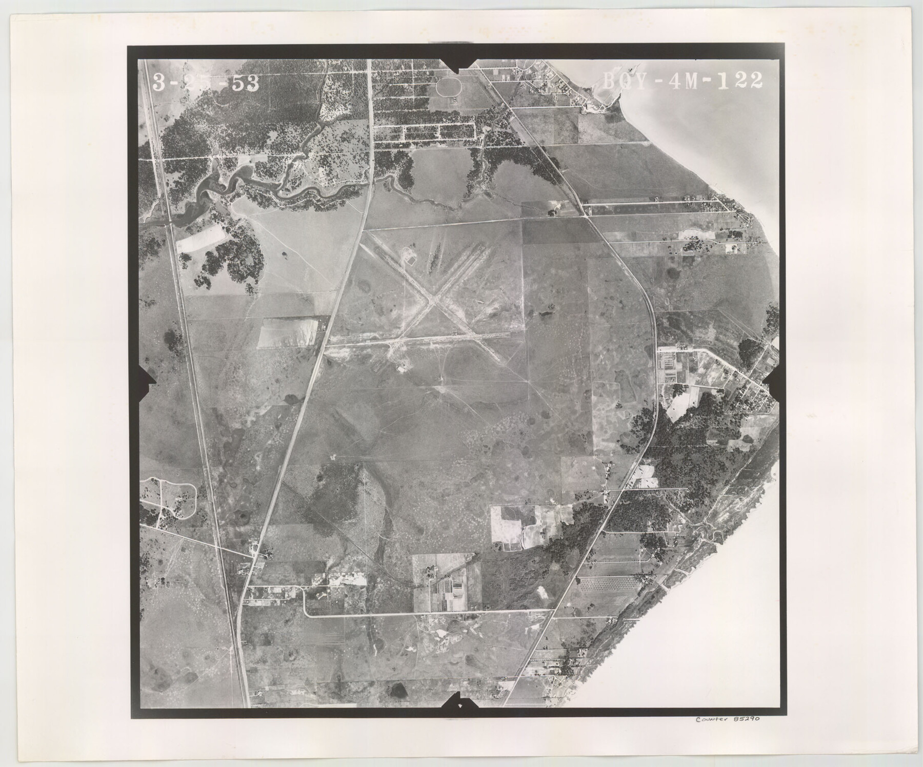
Flight Mission No. BQY-4M, Frame 122, Harris County
BQY-4M-122
-
Map/Doc
85290
-
Collection
General Map Collection
-
Object Dates
1953/3/25 (Creation Date)
-
People and Organizations
U. S. Department of Agriculture (Publisher)
-
Counties
Harris
-
Subjects
Aerial Photograph
-
Height x Width
18.6 x 22.4 inches
47.2 x 56.9 cm
-
Comments
Flown by Jack Ammann Photogrammetric Engineers of San Antonio, Texas.
Part of: General Map Collection
Smith County Rolled Sketch 6A3

Print $40.00
- Digital $50.00
Smith County Rolled Sketch 6A3
1990
Size 48.6 x 36.8 inches
Map/Doc 10698
Panola County Working Sketch 23

Print $20.00
- Digital $50.00
Panola County Working Sketch 23
1951
Map/Doc 71432
Sketch of the line of march of the 2nd US Dragoons commanded by Col D. E. Tuiggs from Fort Jesup, La to Corpus Christi, Texas between the 25th of July and the 27th Aug, 1845

Print $20.00
- Digital $50.00
Sketch of the line of march of the 2nd US Dragoons commanded by Col D. E. Tuiggs from Fort Jesup, La to Corpus Christi, Texas between the 25th of July and the 27th Aug, 1845
1845
Size 25.4 x 18.3 inches
Map/Doc 72724
Crockett County Rolled Sketch 49

Print $20.00
- Digital $50.00
Crockett County Rolled Sketch 49
1940
Size 32.8 x 42.7 inches
Map/Doc 8713
Newton County Rolled Sketch 25

Print $20.00
- Digital $50.00
Newton County Rolled Sketch 25
1893
Size 22.3 x 18.6 inches
Map/Doc 6852
Nolan County Rolled Sketch 4

Print $20.00
- Digital $50.00
Nolan County Rolled Sketch 4
1982
Size 21.7 x 25.2 inches
Map/Doc 6862
Reagan County Rolled Sketch 1

Print $20.00
- Digital $50.00
Reagan County Rolled Sketch 1
Size 20.1 x 29.5 inches
Map/Doc 7432
Hudspeth County Rolled Sketch 49

Print $40.00
- Digital $50.00
Hudspeth County Rolled Sketch 49
Size 42.8 x 53.8 inches
Map/Doc 9219
Descripcion de las Yndias Ocidentales

Print $20.00
- Digital $50.00
Descripcion de las Yndias Ocidentales
1601
Size 9.6 x 13.2 inches
Map/Doc 95962
McMullen County Rolled Sketch JR

Print $20.00
- Digital $50.00
McMullen County Rolled Sketch JR
Size 29.6 x 29.6 inches
Map/Doc 6737
Jim Hogg County Rolled Sketch 5

Print $20.00
- Digital $50.00
Jim Hogg County Rolled Sketch 5
1943
Size 19.9 x 24.1 inches
Map/Doc 6441
Map of Travis County

Print $20.00
- Digital $50.00
Map of Travis County
1861
Size 21.2 x 25.3 inches
Map/Doc 4087
You may also like
Revised Sectional Map Number 2, Showing Lands in Howard, Martin, Andrews, Glasscock, Midland, Ector, and Portions of Borden, Dawson, Irion, Reagan, Upton, Crane, Ward, and Winkler Counties

Print $20.00
- Digital $50.00
Revised Sectional Map Number 2, Showing Lands in Howard, Martin, Andrews, Glasscock, Midland, Ector, and Portions of Borden, Dawson, Irion, Reagan, Upton, Crane, Ward, and Winkler Counties
1908
Size 16.6 x 13.3 inches
Map/Doc 91113
Galveston County Working Sketch 18

Print $20.00
- Digital $50.00
Galveston County Working Sketch 18
1982
Size 18.3 x 19.7 inches
Map/Doc 69355
North end of Brazos Island

Print $20.00
- Digital $50.00
North end of Brazos Island
Size 26.0 x 18.3 inches
Map/Doc 72915
La Louisiane, Suivant les Nouvelles Observations de Messrs de l'Academie Royale des Sciences

Print $20.00
La Louisiane, Suivant les Nouvelles Observations de Messrs de l'Academie Royale des Sciences
1735
Size 9.1 x 11.9 inches
Map/Doc 95279
Trinity County Working Sketch 9

Print $20.00
- Digital $50.00
Trinity County Working Sketch 9
1947
Size 23.5 x 28.1 inches
Map/Doc 69458
Uvalde County Working Sketch 64

Print $20.00
- Digital $50.00
Uvalde County Working Sketch 64
1998
Size 29.9 x 30.6 inches
Map/Doc 72134
Flight Mission No. DIX-5P, Frame 139, Aransas County

Print $20.00
- Digital $50.00
Flight Mission No. DIX-5P, Frame 139, Aransas County
1956
Size 17.6 x 17.8 inches
Map/Doc 83800
Sketch showing Block R situated in Counties of Castro, Deaf Smith, Randall & Swisher

Print $20.00
- Digital $50.00
Sketch showing Block R situated in Counties of Castro, Deaf Smith, Randall & Swisher
1908
Size 29.0 x 34.4 inches
Map/Doc 90408
Garza County Rolled Sketch 13

Print $26.00
- Digital $50.00
Garza County Rolled Sketch 13
1935
Size 45.5 x 36.7 inches
Map/Doc 9047
Flight Mission No. BRA-16M, Frame 131, Jefferson County

Print $20.00
- Digital $50.00
Flight Mission No. BRA-16M, Frame 131, Jefferson County
1953
Size 18.4 x 22.5 inches
Map/Doc 85741
Glasscock County Sketch File 18

Print $8.00
- Digital $50.00
Glasscock County Sketch File 18
1931
Size 9.7 x 6.2 inches
Map/Doc 24192
Duval County Sketch File 60

Print $6.00
- Digital $50.00
Duval County Sketch File 60
1940
Size 11.3 x 9.0 inches
Map/Doc 21428