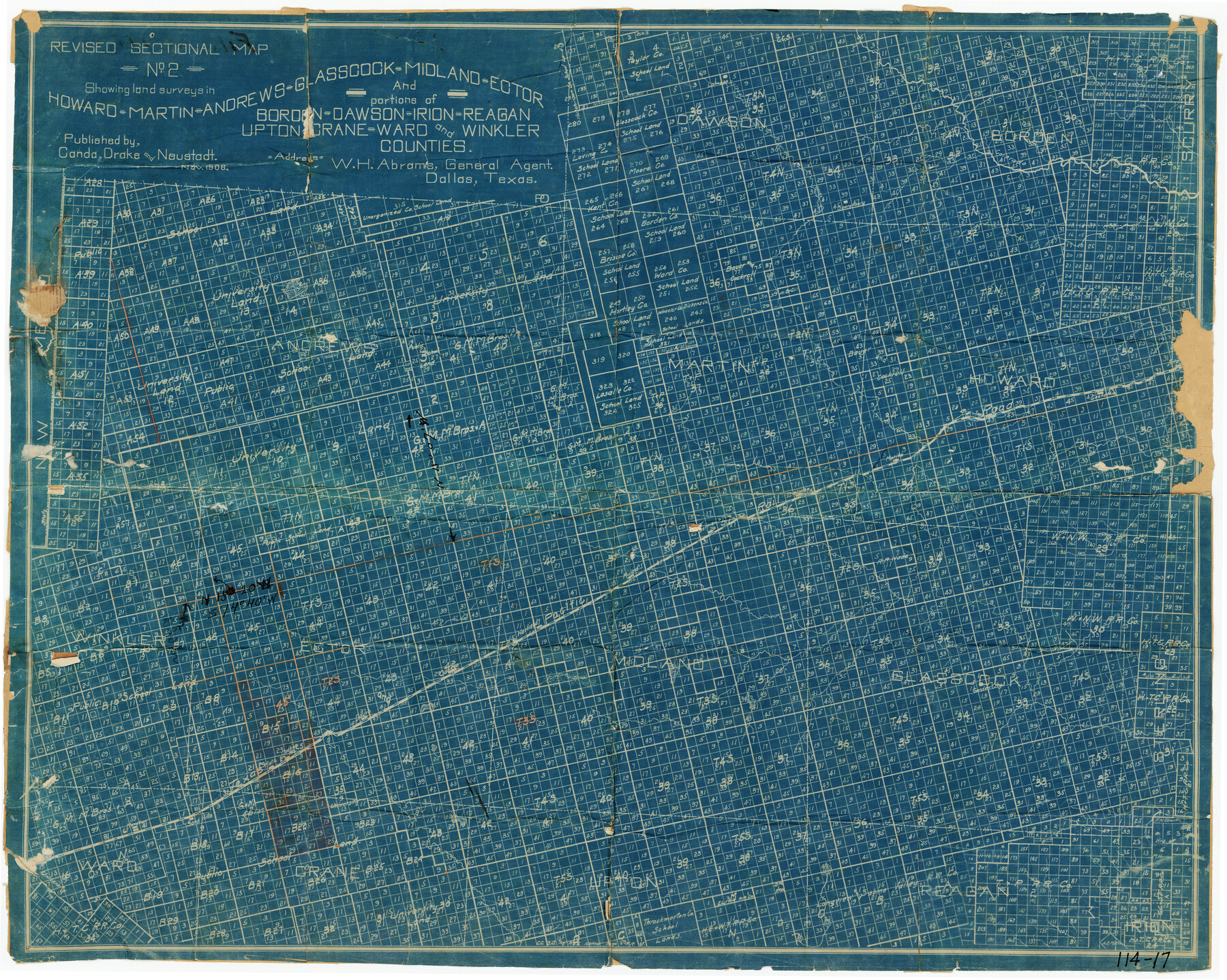
Revised Sectional Map Number 2, Showing Lands in Howard, Martin, Andrews, Glasscock, Midland, Ector, and Portions of Borden, Dawson, Irion, Reagan, Upton, Crane, Ward, and Winkler Counties
114-17
Part of: Twichell Survey Records
[H. & G. N. Block 1]
![90940, [H. & G. N. Block 1], Twichell Survey Records](https://historictexasmaps.com/wmedia_w700/maps/90940-1.tif.jpg)
Print $20.00
- Digital $50.00
[H. & G. N. Block 1]
1873
Size 17.3 x 14.2 inches
Map/Doc 90940
[Sketch showing Blocks B5 and B6 and Capitol Land Reservation]
![89973, [Sketch showing Blocks B5 and B6 and Capitol Land Reservation], Twichell Survey Records](https://historictexasmaps.com/wmedia_w700/maps/89973-1.tif.jpg)
Print $20.00
- Digital $50.00
[Sketch showing Blocks B5 and B6 and Capitol Land Reservation]
Size 46.3 x 41.9 inches
Map/Doc 89973
[Leagues 116 through 161, Leagues 165, 181, and 182]
![92484, [Leagues 116 through 161, Leagues 165, 181, and 182], Twichell Survey Records](https://historictexasmaps.com/wmedia_w700/maps/92484-1.tif.jpg)
Print $20.00
- Digital $50.00
[Leagues 116 through 161, Leagues 165, 181, and 182]
Size 17.8 x 23.7 inches
Map/Doc 92484
[North line of T. & P. Block 31, Township 6N]
![90554, [North line of T. & P. Block 31, Township 6N], Twichell Survey Records](https://historictexasmaps.com/wmedia_w700/maps/90554-1.tif.jpg)
Print $2.00
- Digital $50.00
[North line of T. & P. Block 31, Township 6N]
Size 7.5 x 4.7 inches
Map/Doc 90554
[Surveys Surrounding I. G. Yates S.F. 12394]
![91560, [Surveys Surrounding I. G. Yates S.F. 12394], Twichell Survey Records](https://historictexasmaps.com/wmedia_w700/maps/91560-1.tif.jpg)
Print $20.00
- Digital $50.00
[Surveys Surrounding I. G. Yates S.F. 12394]
Size 18.6 x 7.4 inches
Map/Doc 91560
France Baker Farm

Print $3.00
- Digital $50.00
France Baker Farm
Size 9.5 x 12.0 inches
Map/Doc 92332
[John S. Stephens Blk. S-2, J. A. Oden Blk. 1, Lgs. 174-176]
![90247, [John S. Stephens Blk. S-2, J. A. Oden Blk. 1, Lgs. 174-176], Twichell Survey Records](https://historictexasmaps.com/wmedia_w700/maps/90247-1.tif.jpg)
Print $20.00
- Digital $50.00
[John S. Stephens Blk. S-2, J. A. Oden Blk. 1, Lgs. 174-176]
1913
Size 24.8 x 31.5 inches
Map/Doc 90247
Terry County School Land, Gaines County, Texas

Print $20.00
- Digital $50.00
Terry County School Land, Gaines County, Texas
Size 15.6 x 24.7 inches
Map/Doc 92678
Whitehead Second Addition

Print $20.00
- Digital $50.00
Whitehead Second Addition
Size 11.0 x 18.6 inches
Map/Doc 92879

J. B. McCauley Farm NW Quarter Section 30, Block A

Print $20.00
- Digital $50.00
J. B. McCauley Farm NW Quarter Section 30, Block A
Size 16.4 x 18.8 inches
Map/Doc 92315

You may also like
Anderson County Working Sketch 6

Print $20.00
- Digital $50.00
Anderson County Working Sketch 6
1913
Size 24.7 x 26.3 inches
Map/Doc 67005
[Wm. B. Jaques assee. of José Pineda, Kimble County, Texas]
![540, [Wm. B. Jaques assee. of José Pineda, Kimble County, Texas], Maddox Collection](https://historictexasmaps.com/wmedia_w700/maps/0540.tif.jpg)
Print $3.00
- Digital $50.00
[Wm. B. Jaques assee. of José Pineda, Kimble County, Texas]
Size 16.1 x 11.2 inches
Map/Doc 540
[I. & G. N. Block 1]
![91588, [I. & G. N. Block 1], Twichell Survey Records](https://historictexasmaps.com/wmedia_w700/maps/91588-1.tif.jpg)
Print $20.00
- Digital $50.00
[I. & G. N. Block 1]
Size 11.8 x 18.6 inches
Map/Doc 91588
Baylor County Sketch File 17

Print $4.00
- Digital $50.00
Baylor County Sketch File 17
1872
Size 12.8 x 8.5 inches
Map/Doc 14189
Flight Mission No. BRA-6M, Frame 84, Jefferson County

Print $20.00
- Digital $50.00
Flight Mission No. BRA-6M, Frame 84, Jefferson County
1953
Size 18.6 x 22.4 inches
Map/Doc 85428

Map of Harrison County

Print $20.00
- Digital $50.00
Map of Harrison County
1840
Size 44.6 x 34.5 inches
Map/Doc 1515

Bailey County Rolled Sketch 7

Print $40.00
- Digital $50.00
Bailey County Rolled Sketch 7
1941
Size 67.1 x 43.1 inches
Map/Doc 8931
Crane County Rolled Sketch 14

Print $46.00
- Digital $50.00
Crane County Rolled Sketch 14
1935
Size 37.1 x 31.6 inches
Map/Doc 8680
Maps of Gulf Intracoastal Waterway, Texas - Sabine River to the Rio Grande and connecting waterways including ship channels

Print $20.00
- Digital $50.00
Maps of Gulf Intracoastal Waterway, Texas - Sabine River to the Rio Grande and connecting waterways including ship channels
1966
Size 14.5 x 22.3 inches
Map/Doc 61933
El Paso County Boundary File 19

Print $9.00
- Digital $50.00
El Paso County Boundary File 19
Size 13.6 x 8.7 inches
Map/Doc 53206