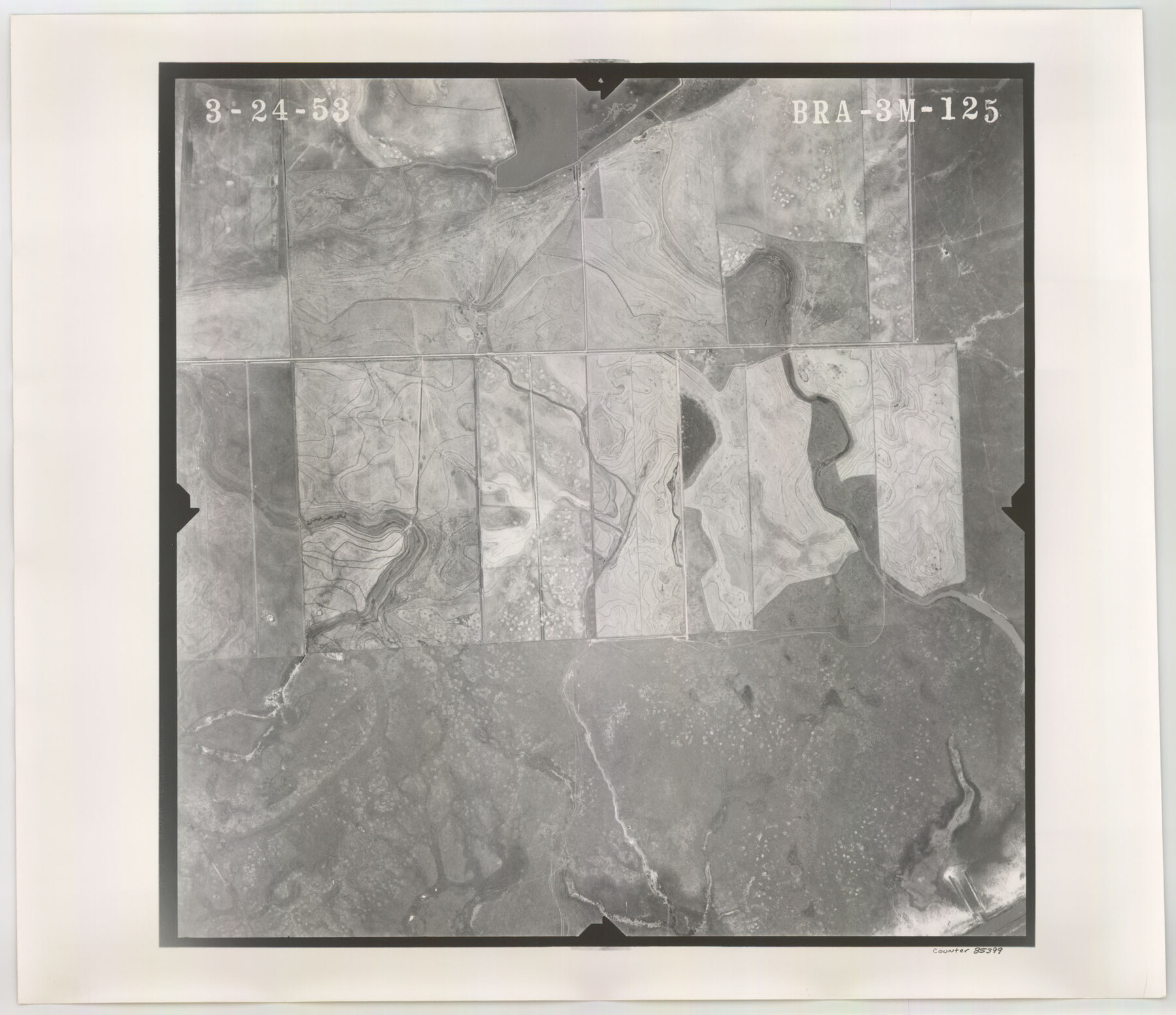
Flight Mission No. BRA-3M, Frame 125, Jefferson County
BRA-3M-125
-
Map/Doc
85399
-
Collection
General Map Collection
-
Object Dates
1953/3/24 (Creation Date)
-
People and Organizations
U. S. Department of Agriculture (Publisher)
-
Counties
Jefferson
-
Subjects
Aerial Photograph
-
Height x Width
18.6 x 21.5 inches
47.2 x 54.6 cm
-
Comments
Flown by Jack Ammann Photogrammetric Engineers of San Antonio, Texas.
Part of: General Map Collection
San Augustine County Sketch File 1

Print $4.00
San Augustine County Sketch File 1
1849
Size 9.3 x 8.2 inches
Map/Doc 35631
Erath County Sketch File A

Print $4.00
- Digital $50.00
Erath County Sketch File A
Size 8.6 x 11.0 inches
Map/Doc 22249
Brewster County Working Sketch 71b

Print $40.00
- Digital $50.00
Brewster County Working Sketch 71b
1961
Size 50.6 x 55.0 inches
Map/Doc 67870
Van Zandt County Sketch File 40

Print $4.00
- Digital $50.00
Van Zandt County Sketch File 40
Size 8.6 x 9.4 inches
Map/Doc 39486
Archer County Working Sketch 23

Print $40.00
- Digital $50.00
Archer County Working Sketch 23
1981
Size 31.7 x 48.3 inches
Map/Doc 67164
Brewster County Rolled Sketch 154

Print $20.00
- Digital $50.00
Brewster County Rolled Sketch 154
2001
Size 36.3 x 28.0 inches
Map/Doc 5325
Gonzales County Working Sketch 7

Print $20.00
- Digital $50.00
Gonzales County Working Sketch 7
1981
Size 19.1 x 17.0 inches
Map/Doc 63223
Navarro County Sketch File 16

Print $24.00
- Digital $50.00
Navarro County Sketch File 16
1902
Size 9.7 x 6.3 inches
Map/Doc 32330
Newton County

Print $40.00
- Digital $50.00
Newton County
1946
Size 48.7 x 42.6 inches
Map/Doc 73250

Newton County Sketch File 26

Print $4.00
- Digital $50.00
Newton County Sketch File 26
1893
Size 11.2 x 8.8 inches
Map/Doc 32409
Kimble County Sketch File 8

Print $14.00
- Digital $50.00
Kimble County Sketch File 8
1847
Size 7.7 x 7.0 inches
Map/Doc 28920
You may also like
General Highway Map. Detail of Cities and Towns in Travis County, Texas

Print $20.00
General Highway Map. Detail of Cities and Towns in Travis County, Texas
1961
Size 18.1 x 24.7 inches
Map/Doc 79683
Dimmit County Working Sketch 57

Print $20.00
- Digital $50.00
Dimmit County Working Sketch 57
2008
Size 26.1 x 31.7 inches
Map/Doc 88847
Jefferson County Rolled Sketch 44

Print $20.00
- Digital $50.00
Jefferson County Rolled Sketch 44
1957
Size 26.9 x 25.5 inches
Map/Doc 6401
Map of the City of Washington showing location of fatal cases of Diphtheria and Scarlet Fever; also number of cases thereof reported to the Health Department during the year ending June 30, 1896

Print $20.00
- Digital $50.00
Map of the City of Washington showing location of fatal cases of Diphtheria and Scarlet Fever; also number of cases thereof reported to the Health Department during the year ending June 30, 1896
1896
Size 30.0 x 29.4 inches
Map/Doc 97103
Childress County Sketch File 12

Print $22.00
- Digital $50.00
Childress County Sketch File 12
Size 13.3 x 8.7 inches
Map/Doc 18255
Official Copy of the Map of Williamson County made for the International and G. N. R. R. Co.

Print $20.00
- Digital $50.00
Official Copy of the Map of Williamson County made for the International and G. N. R. R. Co.
1877
Size 23.3 x 28.4 inches
Map/Doc 672
Jefferson County Sketch File 27

Print $6.00
- Digital $50.00
Jefferson County Sketch File 27
1901
Size 11.0 x 13.9 inches
Map/Doc 28191

McMullen County Sketch File 25a

Print $22.00
- Digital $50.00
McMullen County Sketch File 25a
1877
Size 8.8 x 12.9 inches
Map/Doc 31386
Intracoastal Waterway in Texas - Corpus Christi to Point Isabel including Arroyo Colorado to Mo. Pac. R.R. Bridge Near Harlingen

Print $20.00
- Digital $50.00
Intracoastal Waterway in Texas - Corpus Christi to Point Isabel including Arroyo Colorado to Mo. Pac. R.R. Bridge Near Harlingen
1933
Size 28.0 x 40.8 inches
Map/Doc 61850
Tyler County Working Sketch 9

Print $20.00
- Digital $50.00
Tyler County Working Sketch 9
1937
Size 25.7 x 27.1 inches
Map/Doc 69479
Map Showing Subdivision of Mallet Land and Cattle Company's Ranch Hockley and Cochran Counties, Texas

Print $20.00
- Digital $50.00
Map Showing Subdivision of Mallet Land and Cattle Company's Ranch Hockley and Cochran Counties, Texas
1924
Size 39.4 x 30.3 inches
Map/Doc 92210