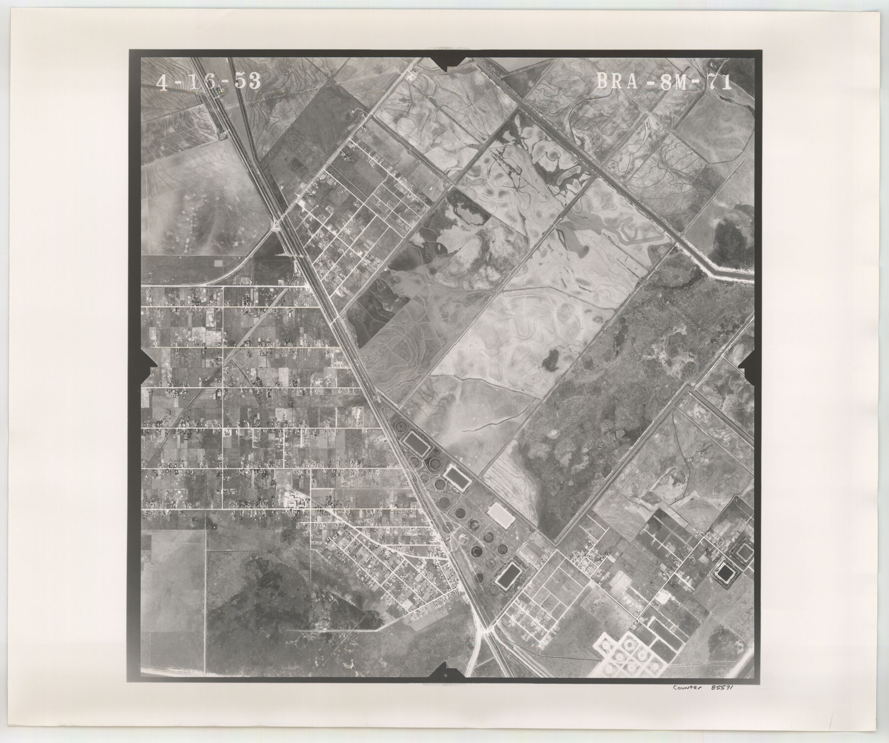
Flight Mission No. BRA-8M, Frame 71, Jefferson County
BRA-8M-71
-
Map/Doc
85591
-
Collection
General Map Collection
-
Object Dates
1953/4/16 (Creation Date)
-
People and Organizations
U. S. Department of Agriculture (Publisher)
-
Counties
Jefferson
-
Subjects
Aerial Photograph
-
Height x Width
18.7 x 22.3 inches
47.5 x 56.6 cm
-
Comments
Flown by Jack Ammann Photogrammetric Engineers of San Antonio, Texas.
Part of: General Map Collection
Maps of Gulf Intracoastal Waterway, Texas - Sabine River to the Rio Grande and connecting waterways including ship channels

Print $20.00
- Digital $50.00
Maps of Gulf Intracoastal Waterway, Texas - Sabine River to the Rio Grande and connecting waterways including ship channels
1966
Size 14.6 x 22.2 inches
Map/Doc 61979
Jim Hogg County Rolled Sketch F

Print $20.00
- Digital $50.00
Jim Hogg County Rolled Sketch F
1930
Size 24.5 x 28.9 inches
Map/Doc 6445
Flight Mission No. CRC-3R, Frame 207, Chambers County

Print $20.00
- Digital $50.00
Flight Mission No. CRC-3R, Frame 207, Chambers County
1956
Size 18.6 x 22.3 inches
Map/Doc 84862
Flight Mission No. DQN-2K, Frame 145, Calhoun County

Print $20.00
- Digital $50.00
Flight Mission No. DQN-2K, Frame 145, Calhoun County
1953
Size 18.9 x 22.7 inches
Map/Doc 84314
Frio County Working Sketch 14

Print $20.00
- Digital $50.00
Frio County Working Sketch 14
1955
Size 23.7 x 22.9 inches
Map/Doc 69288
Presidio County Working Sketch 70

Print $20.00
- Digital $50.00
Presidio County Working Sketch 70
1961
Size 46.8 x 37.4 inches
Map/Doc 71747
Brooks County Rolled Sketch 25

Print $20.00
- Digital $50.00
Brooks County Rolled Sketch 25
1945
Size 21.6 x 26.4 inches
Map/Doc 5345
Hansford County

Print $20.00
- Digital $50.00
Hansford County
1889
Size 22.7 x 18.9 inches
Map/Doc 4558
Val Verde County Rolled Sketch 62

Print $40.00
- Digital $50.00
Val Verde County Rolled Sketch 62
1956
Size 34.6 x 52.1 inches
Map/Doc 10081
Webb County State Real Property Sketch 1

Print $40.00
- Digital $50.00
Webb County State Real Property Sketch 1
1985
Size 23.4 x 17.7 inches
Map/Doc 61664
Shelby County Working Sketch 21

Print $20.00
- Digital $50.00
Shelby County Working Sketch 21
1981
Size 31.0 x 23.3 inches
Map/Doc 63874
Dallas County Sketch File 9

Print $4.00
- Digital $50.00
Dallas County Sketch File 9
1858
Size 12.2 x 8.1 inches
Map/Doc 20412
You may also like
Liberty County Rolled Sketch T

Print $20.00
- Digital $50.00
Liberty County Rolled Sketch T
1941
Size 20.8 x 16.0 inches
Map/Doc 6626
Polk County Working Sketch 37

Print $20.00
- Digital $50.00
Polk County Working Sketch 37
1974
Size 31.3 x 38.2 inches
Map/Doc 71654
State Prison Lands Transferred to A&M College, Forest Division, Cherokee County

Print $4.00
- Digital $50.00
State Prison Lands Transferred to A&M College, Forest Division, Cherokee County
1932
Size 11.1 x 20.1 inches
Map/Doc 65086
Intracoastal Waterway - Port Arthur to Galveston Bay

Print $20.00
- Digital $50.00
Intracoastal Waterway - Port Arthur to Galveston Bay
1961
Size 26.7 x 38.8 inches
Map/Doc 69834
Montague County Working Sketch Graphic Index

Print $20.00
- Digital $50.00
Montague County Working Sketch Graphic Index
1924
Size 45.3 x 33.2 inches
Map/Doc 76645

Hardeman County Rolled Sketch 20

Print $40.00
- Digital $50.00
Hardeman County Rolled Sketch 20
Size 32.3 x 60.8 inches
Map/Doc 9102
Brewster County Working Sketch 69

Print $20.00
- Digital $50.00
Brewster County Working Sketch 69
1961
Size 24.5 x 27.5 inches
Map/Doc 67670
Atascosa County Sketch File 14

Print $40.00
- Digital $50.00
Atascosa County Sketch File 14
1870
Size 12.5 x 15.0 inches
Map/Doc 13773
Archer County Sketch File 24

Print $40.00
- Digital $50.00
Archer County Sketch File 24
1924
Size 31.7 x 25.0 inches
Map/Doc 10832
Red River County Working Sketch 18

Print $20.00
- Digital $50.00
Red River County Working Sketch 18
1955
Size 31.1 x 34.3 inches
Map/Doc 72001
Hartley County

Print $20.00
- Digital $50.00
Hartley County
1878
Size 19.7 x 24.4 inches
Map/Doc 3638