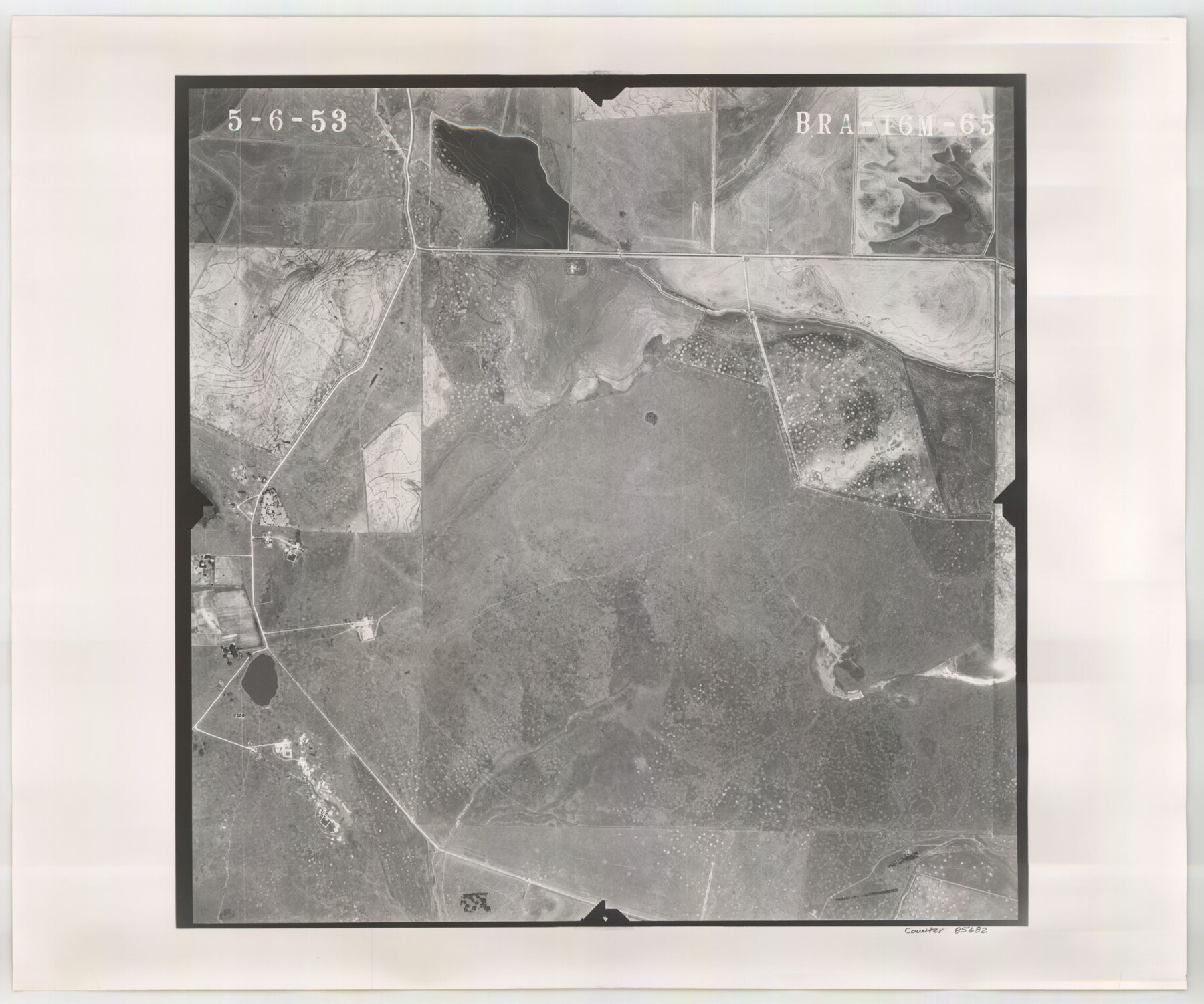
Flight Mission No. BRA-16M, Frame 65, Jefferson County
BRA-16M-65
-
Map/Doc
85682
-
Collection
General Map Collection
-
Object Dates
1953/5/6 (Creation Date)
-
People and Organizations
U. S. Department of Agriculture (Publisher)
-
Counties
Jefferson
-
Subjects
Aerial Photograph
-
Height x Width
18.7 x 22.4 inches
47.5 x 56.9 cm
-
Comments
Flown by Jack Ammann Photogrammetric Engineers of San Antonio, Texas.
Part of: General Map Collection
Texas Gulf Coast from the Sabine River to the Rio Grande Showing Subdivision for Mineral Development.

Print $40.00
- Digital $50.00
Texas Gulf Coast from the Sabine River to the Rio Grande Showing Subdivision for Mineral Development.
1958
Size 46.5 x 118.6 inches
Map/Doc 2944
Flight Mission No. BRE-1P, Frame 44, Nueces County

Print $20.00
- Digital $50.00
Flight Mission No. BRE-1P, Frame 44, Nueces County
1956
Size 18.3 x 22.1 inches
Map/Doc 86633
Lipscomb County Working Sketch 8

Print $20.00
- Digital $50.00
Lipscomb County Working Sketch 8
1982
Size 42.7 x 23.6 inches
Map/Doc 70584
Austin County Boundary File 3

Print $2.00
- Digital $50.00
Austin County Boundary File 3
Size 14.3 x 8.6 inches
Map/Doc 50243
Sulphur River, Terry Lake Sheet

Print $20.00
- Digital $50.00
Sulphur River, Terry Lake Sheet
1919
Size 28.6 x 30.9 inches
Map/Doc 65161
Galveston Bay and Approaches

Print $20.00
- Digital $50.00
Galveston Bay and Approaches
1933
Size 46.0 x 34.9 inches
Map/Doc 69874
McMullen County Sketch File 15

Print $4.00
- Digital $50.00
McMullen County Sketch File 15
1876
Size 10.0 x 8.0 inches
Map/Doc 31363
Map of Galveston, Turtle & East Bays & Portion of the Gulf of Mexico in Chambers & Galveston Counties, Texas Showing Subdivision Thereof for Mineral Development

Print $40.00
- Digital $50.00
Map of Galveston, Turtle & East Bays & Portion of the Gulf of Mexico in Chambers & Galveston Counties, Texas Showing Subdivision Thereof for Mineral Development
1935
Size 43.6 x 51.1 inches
Map/Doc 78633
Borden County Rolled Sketch 6

Print $20.00
- Digital $50.00
Borden County Rolled Sketch 6
Size 24.6 x 18.6 inches
Map/Doc 5156
Flight Mission No. DQN-3K, Frame 68, Calhoun County

Print $20.00
- Digital $50.00
Flight Mission No. DQN-3K, Frame 68, Calhoun County
1953
Size 18.5 x 22.3 inches
Map/Doc 84359
Bastrop County Boundary File 2

Print $12.00
- Digital $50.00
Bastrop County Boundary File 2
Size 9.1 x 6.9 inches
Map/Doc 50315
Cameron County Rolled Sketch Z1

Print $20.00
- Digital $50.00
Cameron County Rolled Sketch Z1
1937
Size 23.4 x 41.4 inches
Map/Doc 5401
You may also like
Howard County Working Sketch 5

Print $20.00
- Digital $50.00
Howard County Working Sketch 5
1944
Size 23.9 x 32.8 inches
Map/Doc 66271
Taylor County Sketch File A

Print $2.00
- Digital $50.00
Taylor County Sketch File A
Size 8.8 x 11.3 inches
Map/Doc 37773
Copano, St. Charles, Aransas and Red Fish Bays, in Aransas and Nueces Counties, showing Subdivision for Mineral Development

Print $40.00
- Digital $50.00
Copano, St. Charles, Aransas and Red Fish Bays, in Aransas and Nueces Counties, showing Subdivision for Mineral Development
1949
Size 55.9 x 40.0 inches
Map/Doc 1914
Map of survey Nos. 2, 14, 12 & 20, A. & N. W. R.R. Co. and connections

Print $20.00
- Digital $50.00
Map of survey Nos. 2, 14, 12 & 20, A. & N. W. R.R. Co. and connections
1904
Size 16.9 x 32.7 inches
Map/Doc 75811
Galveston County NRC Article 33.136 Sketch 90

Print $144.00
- Digital $50.00
Galveston County NRC Article 33.136 Sketch 90
2021
Map/Doc 96930
Aeroplane view of business district Amarillo, Texas

Print $20.00
Aeroplane view of business district Amarillo, Texas
1912
Size 18.9 x 21.4 inches
Map/Doc 93467
Flight Mission No. CRC-4R, Frame 79, Chambers County

Print $20.00
- Digital $50.00
Flight Mission No. CRC-4R, Frame 79, Chambers County
1956
Size 18.9 x 22.6 inches
Map/Doc 84883
Wharton County Sketch File 4a

Print $4.00
- Digital $50.00
Wharton County Sketch File 4a
1876
Size 12.7 x 8.1 inches
Map/Doc 39919
Randall County Boundary File 1

Print $26.00
- Digital $50.00
Randall County Boundary File 1
Size 14.0 x 8.5 inches
Map/Doc 58098
Scurry County Sketch File 4

Print $26.00
- Digital $50.00
Scurry County Sketch File 4
1881
Size 13.1 x 8.5 inches
Map/Doc 36565

Flight Mission No. BQR-3K, Frame 156, Brazoria County

Print $20.00
- Digital $50.00
Flight Mission No. BQR-3K, Frame 156, Brazoria County
1952
Size 18.6 x 22.4 inches
Map/Doc 83983