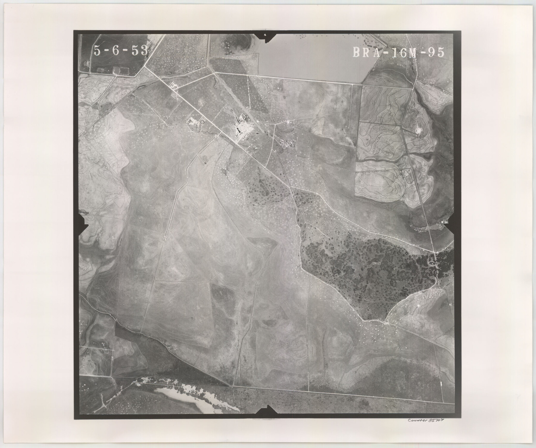
Flight Mission No. BRA-16M, Frame 95, Jefferson County
BRA-16M-95
-
Map/Doc
85707
-
Collection
General Map Collection
-
Object Dates
1953/5/6 (Creation Date)
-
People and Organizations
U. S. Department of Agriculture (Publisher)
-
Counties
Jefferson
-
Subjects
Aerial Photograph
-
Height x Width
18.5 x 22.2 inches
47.0 x 56.4 cm
-
Comments
Flown by Jack Ammann Photogrammetric Engineers of San Antonio, Texas.
Part of: General Map Collection
Terrell County Working Sketch 11

Print $20.00
- Digital $50.00
Terrell County Working Sketch 11
1934
Size 18.5 x 15.0 inches
Map/Doc 62160
Duval County Working Sketch 49

Print $40.00
- Digital $50.00
Duval County Working Sketch 49
1981
Size 37.0 x 81.3 inches
Map/Doc 68773
Flight Mission No. DQN-5K, Frame 74, Calhoun County

Print $20.00
- Digital $50.00
Flight Mission No. DQN-5K, Frame 74, Calhoun County
1953
Size 18.5 x 22.2 inches
Map/Doc 84407
Report of the Superintendent of the Coast Survey showing the progress of the survey during the year 1852

Report of the Superintendent of the Coast Survey showing the progress of the survey during the year 1852
1853
Map/Doc 81738
Shackelford County Sketch File 14

Print $28.00
- Digital $50.00
Shackelford County Sketch File 14
1874
Size 14.4 x 8.8 inches
Map/Doc 36585
Trinity County Working Sketch 20

Print $20.00
- Digital $50.00
Trinity County Working Sketch 20
Size 25.9 x 29.7 inches
Map/Doc 69469
Coke County Working Sketch 16

Print $20.00
- Digital $50.00
Coke County Working Sketch 16
1948
Size 23.4 x 24.5 inches
Map/Doc 68053
Flight Mission No. BRE-1P, Frame 141, Nueces County

Print $20.00
- Digital $50.00
Flight Mission No. BRE-1P, Frame 141, Nueces County
1956
Size 18.7 x 22.5 inches
Map/Doc 86701
Floyd County Boundary File 3

Print $4.00
- Digital $50.00
Floyd County Boundary File 3
Size 14.4 x 8.9 inches
Map/Doc 53492
Brazoria County Working Sketch 17

Print $20.00
- Digital $50.00
Brazoria County Working Sketch 17
1948
Size 17.0 x 19.0 inches
Map/Doc 67502
Dickens County Sketch File 1a

Print $40.00
- Digital $50.00
Dickens County Sketch File 1a
1879
Size 16.8 x 13.8 inches
Map/Doc 20948
Cottle County Rolled Sketch E

Print $20.00
- Digital $50.00
Cottle County Rolled Sketch E
1917
Size 29.9 x 28.7 inches
Map/Doc 8674
You may also like
Leon County Sketch File 9a

Print $6.00
- Digital $50.00
Leon County Sketch File 9a
1863
Size 10.5 x 8.6 inches
Map/Doc 29728
Presidio County Sketch File 35B

Print $20.00
- Digital $50.00
Presidio County Sketch File 35B
1906
Size 11.8 x 20.7 inches
Map/Doc 11714
Dimmit County Working Sketch 16

Print $20.00
- Digital $50.00
Dimmit County Working Sketch 16
1943
Size 25.6 x 24.8 inches
Map/Doc 68677
Walker County Sketch File 7

Print $4.00
- Digital $50.00
Walker County Sketch File 7
1838
Size 13.9 x 8.9 inches
Map/Doc 39559
Kinney County Sketch File 38

Print $8.00
- Digital $50.00
Kinney County Sketch File 38
1882
Size 14.3 x 8.7 inches
Map/Doc 29188
Hudspeth County Working Sketch 57

Print $20.00
- Digital $50.00
Hudspeth County Working Sketch 57
1992
Size 9.6 x 26.5 inches
Map/Doc 66342
[Movements & Objectives of the 143rd & 144th Infantry on October 13, 1918, Appendix L]
![94124, [Movements & Objectives of the 143rd & 144th Infantry on October 13, 1918, Appendix L], Non-GLO Digital Images](https://historictexasmaps.com/wmedia_w700/maps/94124-1.tif.jpg)
Print $20.00
[Movements & Objectives of the 143rd & 144th Infantry on October 13, 1918, Appendix L]
1918
Size 16.1 x 16.8 inches
Map/Doc 94124
Lee County Working Sketch 3

Print $20.00
- Digital $50.00
Lee County Working Sketch 3
1968
Size 37.9 x 37.3 inches
Map/Doc 70382
Flight Mission No. CGI-4N, Frame 30, Cameron County

Print $20.00
- Digital $50.00
Flight Mission No. CGI-4N, Frame 30, Cameron County
1954
Size 18.6 x 22.3 inches
Map/Doc 84663
Grimes County Sketch File 3

Print $20.00
- Digital $50.00
Grimes County Sketch File 3
1871
Size 10.6 x 12.1 inches
Map/Doc 24626
Texas-United States Boundary Line 3

Print $40.00
- Digital $50.00
Texas-United States Boundary Line 3
Size 54.6 x 10.5 inches
Map/Doc 74979
Flight Mission No. DAG-18K, Frame 75, Matagorda County

Print $20.00
- Digital $50.00
Flight Mission No. DAG-18K, Frame 75, Matagorda County
1952
Size 18.5 x 19.1 inches
Map/Doc 86368