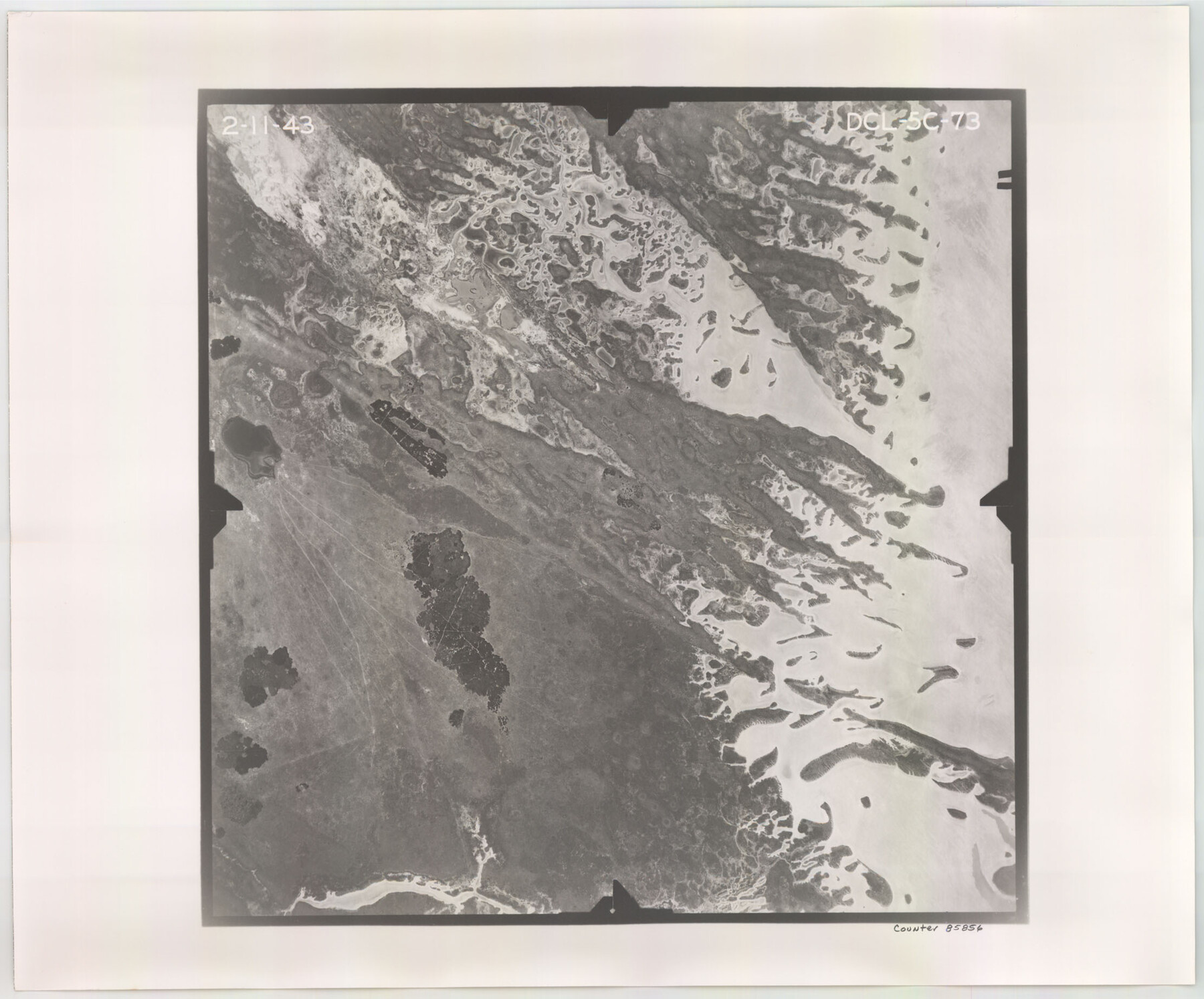
Flight Mission No. DCL-5C, Frame 73, Kenedy County
DCL-5C-73
-
Map/Doc
85856
-
Collection
General Map Collection
-
Object Dates
1943/2/11 (Creation Date)
-
People and Organizations
U. S. Department of Agriculture (Publisher)
-
Counties
Kenedy
-
Subjects
Aerial Photograph
-
Height x Width
18.5 x 22.2 inches
47.0 x 56.4 cm
-
Comments
Flown by Aerial Surveys of Pittsburgh, Inc. of Pittsburgh, Pennsylvania.
Part of: General Map Collection
Travis County Appraisal District Plat Map 2_0219

Print $20.00
- Digital $50.00
Travis County Appraisal District Plat Map 2_0219
Size 21.6 x 26.5 inches
Map/Doc 94209
Burnet County Rolled Sketch 6

Print $40.00
- Digital $50.00
Burnet County Rolled Sketch 6
1971
Size 36.4 x 49.5 inches
Map/Doc 8543
Johnson County Sketch File 1

Print $48.00
- Digital $50.00
Johnson County Sketch File 1
Size 8.0 x 6.9 inches
Map/Doc 28427
Cochran County Rolled Sketch A

Print $40.00
- Digital $50.00
Cochran County Rolled Sketch A
Size 28.5 x 55.3 inches
Map/Doc 8604
Capitol Complex, Austin, Texas

Print $20.00
- Digital $50.00
Capitol Complex, Austin, Texas
1974
Size 42.7 x 30.6 inches
Map/Doc 94241
Zapata County Working Sketch 25

Print $40.00
- Digital $50.00
Zapata County Working Sketch 25
2009
Size 36.9 x 71.8 inches
Map/Doc 89051
Flight Mission No. BRA-16M, Frame 63, Jefferson County

Print $20.00
- Digital $50.00
Flight Mission No. BRA-16M, Frame 63, Jefferson County
1953
Size 18.6 x 22.3 inches
Map/Doc 85680
Map of Red River County

Print $20.00
- Digital $50.00
Map of Red River County
1842
Size 25.2 x 23.1 inches
Map/Doc 78369
Map of the City of Austin Texas

Map of the City of Austin Texas
1933
Size 22.6 x 17.6 inches
Map/Doc 1685
Travis County Rolled Sketch 44

Print $20.00
- Digital $50.00
Travis County Rolled Sketch 44
Size 34.2 x 35.6 inches
Map/Doc 10052
Schleicher County Sketch File 29

Print $44.00
- Digital $50.00
Schleicher County Sketch File 29
1940
Size 31.9 x 23.7 inches
Map/Doc 12306
Flight Mission No. DQN-5K, Frame 143, Calhoun County

Print $20.00
- Digital $50.00
Flight Mission No. DQN-5K, Frame 143, Calhoun County
1953
Size 18.8 x 22.3 inches
Map/Doc 84418
You may also like
Chambers County Aerial Photograph Index Sheet 3

Print $20.00
- Digital $50.00
Chambers County Aerial Photograph Index Sheet 3
1956
Size 20.5 x 15.7 inches
Map/Doc 83684

Part of the boundary between the United States and Texas; north of Sabine River from the 36th to the 72nd mile mound

Print $3.00
- Digital $50.00
Part of the boundary between the United States and Texas; north of Sabine River from the 36th to the 72nd mile mound
1842
Size 12.0 x 8.8 inches
Map/Doc 93770

Childress County Sketch File 2

Print $24.00
- Digital $50.00
Childress County Sketch File 2
Size 6.5 x 16.1 inches
Map/Doc 18244
The Judicial District/County of Spring Creek. Created, January 21, 1841

Print $20.00
The Judicial District/County of Spring Creek. Created, January 21, 1841
2020
Size 15.7 x 21.7 inches
Map/Doc 96348
Hidalgo County Sketch

Print $20.00
- Digital $50.00
Hidalgo County Sketch
1903
Size 30.4 x 37.7 inches
Map/Doc 4450
Nueces County Rolled Sketch 57

Print $48.00
Nueces County Rolled Sketch 57
1979
Size 18.9 x 24.6 inches
Map/Doc 6897
Gray's New Map of Texas and the Indian Territory

Print $20.00
- Digital $50.00
Gray's New Map of Texas and the Indian Territory
1876
Size 17.6 x 28.6 inches
Map/Doc 97282
Sutton County Working Sketch 21

Print $20.00
- Digital $50.00
Sutton County Working Sketch 21
1978
Size 22.3 x 26.1 inches
Map/Doc 62364
Pecos County Rolled Sketch 129

Print $40.00
- Digital $50.00
Pecos County Rolled Sketch 129
1948
Size 42.9 x 52.4 inches
Map/Doc 9727
Atascosa County Sketch File 42

Print $12.00
- Digital $50.00
Atascosa County Sketch File 42
1916
Size 11.2 x 8.8 inches
Map/Doc 13847