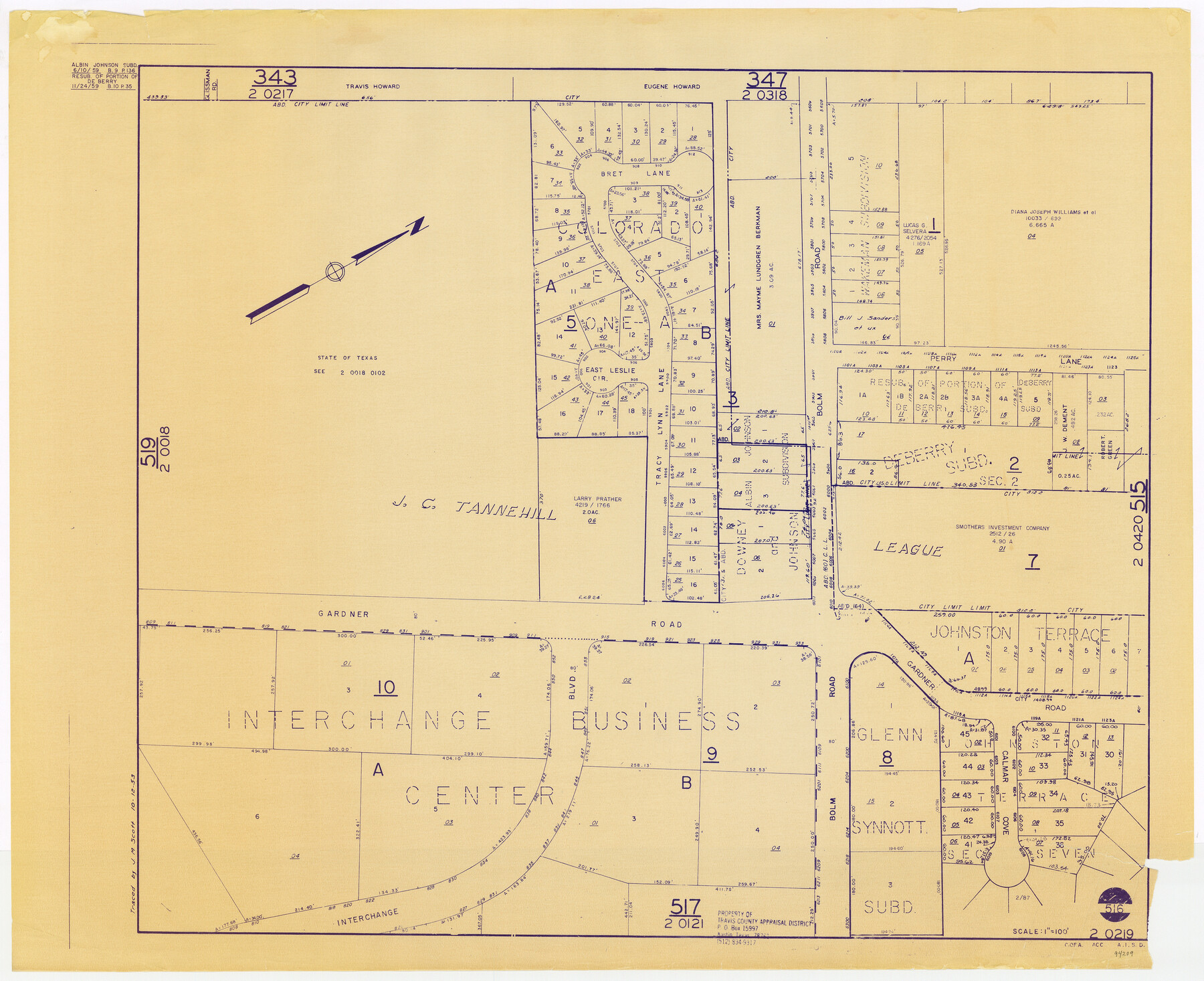
Travis County Appraisal District Plat Map 2_0219
Section 516
-
Map/Doc
94209
-
Collection
General Map Collection
-
Object Dates
1953/10/12 (Copy/Tracing Date)
1987 (Edition Date)
-
People and Organizations
Travis County Appraisal District (Publisher)
J.M. Scott (Tracer)
-
Counties
Travis
-
Subjects
City
-
Height x Width
21.6 x 26.5 inches
54.9 x 67.3 cm
-
Medium
blueprint/diazo
-
Scale
1" = 100'
Part of: General Map Collection
Midland County Rolled Sketch T

Print $20.00
- Digital $50.00
Midland County Rolled Sketch T
1933
Size 15.9 x 21.4 inches
Map/Doc 6772

Flight Mission No. CUG-2P, Frame 68, Kleberg County

Print $20.00
- Digital $50.00
Flight Mission No. CUG-2P, Frame 68, Kleberg County
1956
Size 18.5 x 22.3 inches
Map/Doc 86205
Bee County Working Sketch 33

Print $20.00
- Digital $50.00
Bee County Working Sketch 33
1980
Size 32.0 x 28.2 inches
Map/Doc 67284
Bee County Sketch File 1a

Print $12.00
- Digital $50.00
Bee County Sketch File 1a
1846
Size 9.8 x 6.5 inches
Map/Doc 14359
El Paso County Rolled Sketch W

Print $20.00
- Digital $50.00
El Paso County Rolled Sketch W
1916
Size 22.8 x 40.1 inches
Map/Doc 5859
Flight Mission No. CGI-1N, Frame 185, Cameron County

Print $20.00
- Digital $50.00
Flight Mission No. CGI-1N, Frame 185, Cameron County
1955
Size 18.6 x 22.2 inches
Map/Doc 84520
Newton County Working Sketch 16

Print $20.00
- Digital $50.00
Newton County Working Sketch 16
1950
Size 15.8 x 15.5 inches
Map/Doc 71262
Polk County Rolled Sketch TS

Print $40.00
- Digital $50.00
Polk County Rolled Sketch TS
1937
Size 37.9 x 58.9 inches
Map/Doc 9755
Taylor County Sketch File 12

Print $4.00
- Digital $50.00
Taylor County Sketch File 12
Size 8.6 x 12.8 inches
Map/Doc 37796
Mitchell County

Print $20.00
- Digital $50.00
Mitchell County
1971
Size 39.9 x 33.3 inches
Map/Doc 77375
Williamson County

Print $40.00
- Digital $50.00
Williamson County
1888
Size 37.1 x 54.0 inches
Map/Doc 16930
You may also like
Plat made for W. D. Twichell

Print $20.00
- Digital $50.00
Plat made for W. D. Twichell
1919
Size 25.0 x 15.7 inches
Map/Doc 91916
Flight Mission No. CRC-3R, Frame 98, Chambers County

Print $20.00
- Digital $50.00
Flight Mission No. CRC-3R, Frame 98, Chambers County
1956
Size 18.7 x 22.5 inches
Map/Doc 84836
Galveston County NRC Article 33.136 Sketch 62

Print $28.00
- Digital $50.00
Galveston County NRC Article 33.136 Sketch 62
2009
Size 24.0 x 36.0 inches
Map/Doc 94596
Nueva Hispania Tabula Nova

Print $20.00
- Digital $50.00
Nueva Hispania Tabula Nova
1561
Size 9.4 x 12.3 inches
Map/Doc 93796
Map of Terry County

Print $20.00
- Digital $50.00
Map of Terry County
1893
Size 27.4 x 23.3 inches
Map/Doc 4076
Grimes County

Print $20.00
- Digital $50.00
Grimes County
1922
Size 47.0 x 29.8 inches
Map/Doc 73164
Calhoun County Rolled Sketch 30

Print $20.00
- Digital $50.00
Calhoun County Rolled Sketch 30
1974
Size 18.6 x 27.6 inches
Map/Doc 5491
Harrison County Working Sketch 19

Print $20.00
- Digital $50.00
Harrison County Working Sketch 19
1978
Size 31.8 x 33.1 inches
Map/Doc 66039
Galveston County Rolled Sketch 42

Print $20.00
- Digital $50.00
Galveston County Rolled Sketch 42
1982
Size 42.9 x 40.6 inches
Map/Doc 9021
Flight Mission No. CRC-2R, Frame 201, Chambers County

Print $20.00
- Digital $50.00
Flight Mission No. CRC-2R, Frame 201, Chambers County
1956
Size 18.5 x 22.3 inches
Map/Doc 84779
Map of the country scouted by Colonels McKenzie and Shafter, Capt. R.P. Wilson and others in the years, 1874 & 1875

Print $20.00
- Digital $50.00
Map of the country scouted by Colonels McKenzie and Shafter, Capt. R.P. Wilson and others in the years, 1874 & 1875
1876
Size 43.0 x 31.8 inches
Map/Doc 62972
Victoria County Working Sketch 11

Print $20.00
- Digital $50.00
Victoria County Working Sketch 11
2004
Size 34.7 x 36.0 inches
Map/Doc 83591