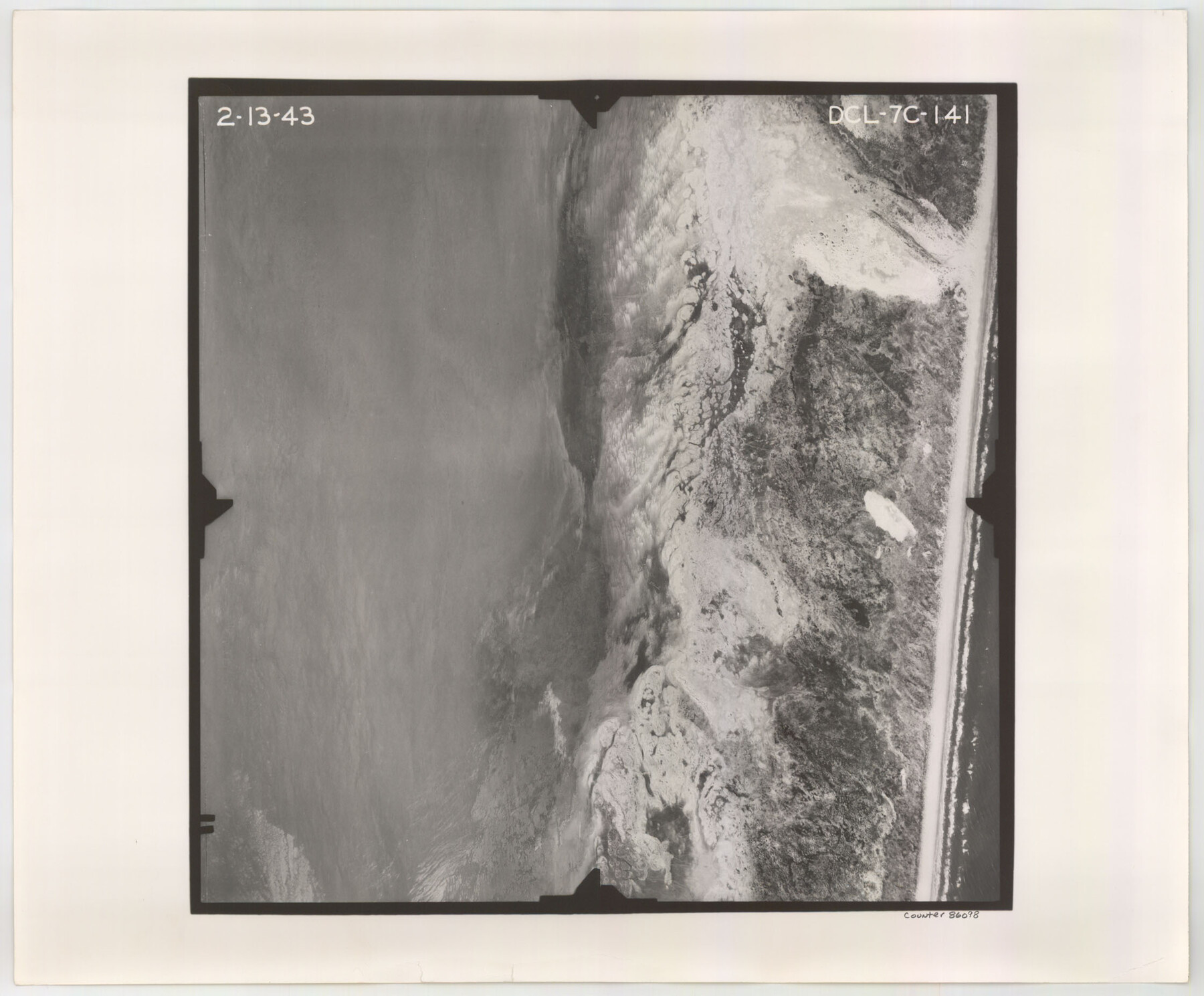
Flight Mission No. DCL-7C, Frame 141, Kenedy County
DCL-7C-141
-
Map/Doc
86098
-
Collection
General Map Collection
-
Object Dates
1943/2/13 (Creation Date)
-
People and Organizations
U. S. Department of Agriculture (Publisher)
-
Counties
Kenedy
-
Subjects
Aerial Photograph
-
Height x Width
18.5 x 22.4 inches
47.0 x 56.9 cm
-
Comments
Flown by Aerial Surveys of Pittsburgh, Inc. of Pittsburgh, Pennsylvania.
Part of: General Map Collection
Flight Mission No. DCL-7C, Frame 147, Kenedy County

Print $20.00
- Digital $50.00
Flight Mission No. DCL-7C, Frame 147, Kenedy County
1943
Size 18.3 x 22.4 inches
Map/Doc 86104
Wilson County Sketch File 10

Print $4.00
- Digital $50.00
Wilson County Sketch File 10
Size 6.7 x 6.2 inches
Map/Doc 40417
El Paso County Sketch File 31

Print $185.00
- Digital $50.00
El Paso County Sketch File 31
1968
Size 8.9 x 17.7 inches
Map/Doc 22084
Webb County Sketch File 73

Print $20.00
- Digital $50.00
Webb County Sketch File 73
2020
Size 11.0 x 8.5 inches
Map/Doc 95917
Shelby County Working Sketch 17

Print $20.00
- Digital $50.00
Shelby County Working Sketch 17
1957
Size 20.4 x 31.0 inches
Map/Doc 63870
Flight Mission No. DAG-28K, Frame 27, Matagorda County

Print $20.00
- Digital $50.00
Flight Mission No. DAG-28K, Frame 27, Matagorda County
1953
Size 16.2 x 16.1 inches
Map/Doc 86595
Topographical Map of the Rio Grande, Sheet No. 24

Print $20.00
- Digital $50.00
Topographical Map of the Rio Grande, Sheet No. 24
1912
Map/Doc 89548
Erath County Sketch File 26

Print $6.00
- Digital $50.00
Erath County Sketch File 26
1896
Size 9.5 x 8.1 inches
Map/Doc 22306
Harris County Sketch File 93

Print $20.00
- Digital $50.00
Harris County Sketch File 93
1952
Size 33.0 x 14.5 inches
Map/Doc 11676
Brazoria County Working Sketch 28

Print $20.00
- Digital $50.00
Brazoria County Working Sketch 28
1971
Size 23.8 x 17.2 inches
Map/Doc 67513
A Map of the Indian Territory, Northern Texas and New Mexico Showing the Great Western Prairies

Print $20.00
- Digital $50.00
A Map of the Indian Territory, Northern Texas and New Mexico Showing the Great Western Prairies
1844
Size 14.0 x 17.6 inches
Map/Doc 95700
Hockley County Sketch File 15

Print $6.00
- Digital $50.00
Hockley County Sketch File 15
1912
Size 11.4 x 8.9 inches
Map/Doc 26550
You may also like
Gaines County Rolled Sketch 6

Print $20.00
- Digital $50.00
Gaines County Rolled Sketch 6
1913
Size 30.5 x 45.4 inches
Map/Doc 5927
San Augustine County Sketch File 20

Print $82.00
- Digital $50.00
San Augustine County Sketch File 20
1951
Size 8.9 x 14.4 inches
Map/Doc 35680
Rains County Working Sketch 7

Print $20.00
- Digital $50.00
Rains County Working Sketch 7
1964
Size 32.6 x 38.6 inches
Map/Doc 71833
Zapata County Working Sketch 3

Print $20.00
- Digital $50.00
Zapata County Working Sketch 3
1932
Size 18.0 x 13.6 inches
Map/Doc 62054
Henderson County

Print $40.00
- Digital $50.00
Henderson County
1922
Size 33.0 x 62.7 inches
Map/Doc 66861
[Surveys in Austin's Colony along Buffalo Bayou and the San Jacinto River]
![207, [Surveys in Austin's Colony along Buffalo Bayou and the San Jacinto River], General Map Collection](https://historictexasmaps.com/wmedia_w700/maps/207.tif.jpg)
Print $20.00
- Digital $50.00
[Surveys in Austin's Colony along Buffalo Bayou and the San Jacinto River]
1824
Size 22.3 x 14.3 inches
Map/Doc 207
Flight Mission No. BRA-16M, Frame 120, Jefferson County

Print $20.00
- Digital $50.00
Flight Mission No. BRA-16M, Frame 120, Jefferson County
1953
Size 18.4 x 22.6 inches
Map/Doc 85730
Montague County Working Sketch 20

Print $20.00
- Digital $50.00
Montague County Working Sketch 20
1952
Size 23.0 x 37.0 inches
Map/Doc 71086
United States - Gulf Coast - From Latitude 26° 33' to the Rio Grande Texas

Print $20.00
- Digital $50.00
United States - Gulf Coast - From Latitude 26° 33' to the Rio Grande Texas
1918
Size 18.4 x 24.1 inches
Map/Doc 72848
Americae Sive Novi Orbis, Nova Descriptio

Print $20.00
- Digital $50.00
Americae Sive Novi Orbis, Nova Descriptio
1573
Size 15.6 x 22.3 inches
Map/Doc 95834
[Section 34 1/2 and Blk.194, Jno. H. Tyler and Bob Reid Surveys, Yates Field]
![91622, [Section 34 1/2 and Blk.194, Jno. H. Tyler and Bob Reid Surveys, Yates Field], Twichell Survey Records](https://historictexasmaps.com/wmedia_w700/maps/91622-1.tif.jpg)
Print $20.00
- Digital $50.00
[Section 34 1/2 and Blk.194, Jno. H. Tyler and Bob Reid Surveys, Yates Field]
Size 22.7 x 20.6 inches
Map/Doc 91622
Map of Nacogdoches County

Print $20.00
- Digital $50.00
Map of Nacogdoches County
1881
Size 24.5 x 21.5 inches
Map/Doc 4600