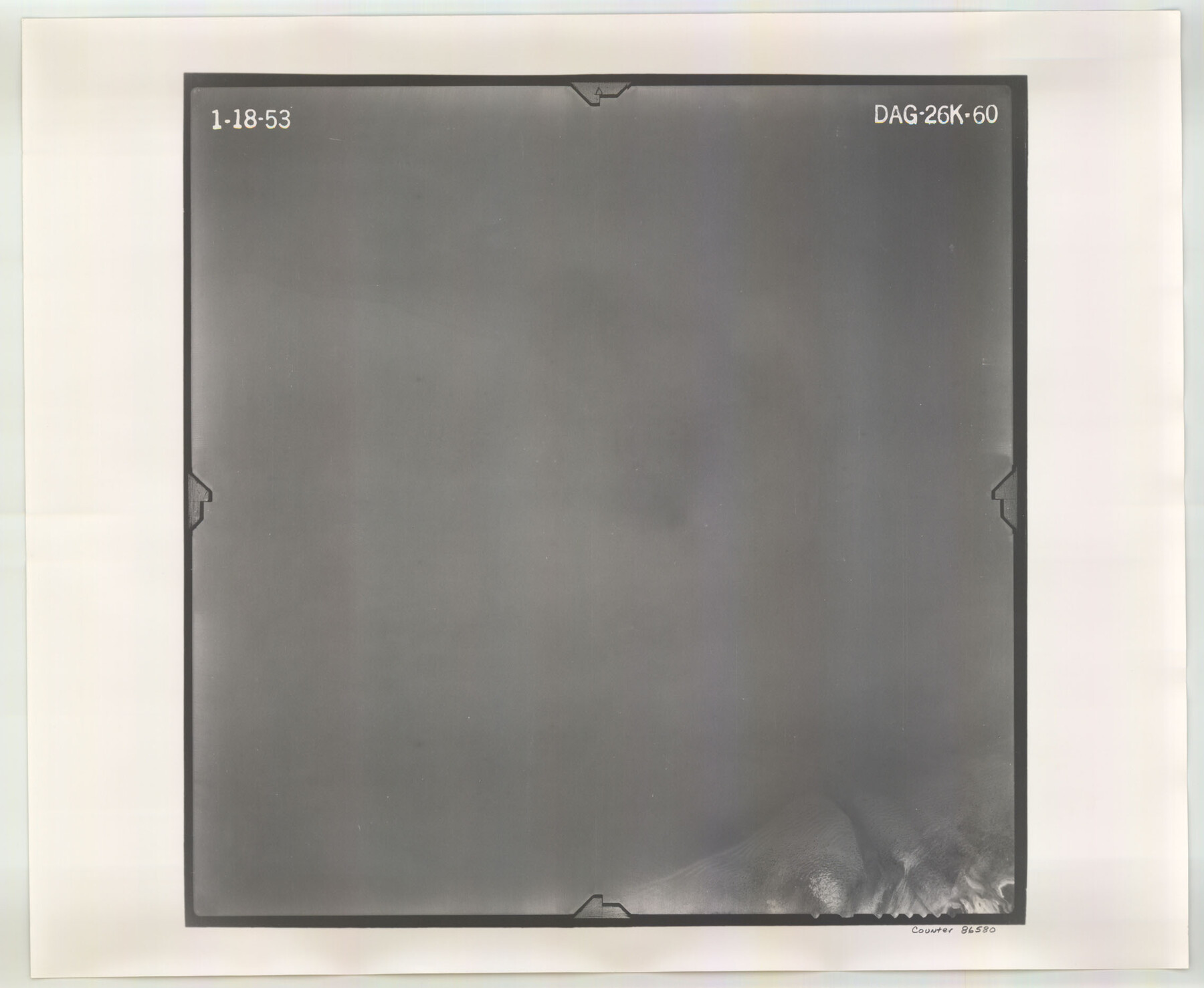
Flight Mission No. DAG-26K, Frame 60, Matagorda County
DAG-26K-60
-
Map/Doc
86580
-
Collection
General Map Collection
-
Object Dates
1953/1/18 (Creation Date)
-
People and Organizations
U. S. Department of Agriculture (Publisher)
-
Counties
Matagorda
-
Subjects
Aerial Photograph
-
Height x Width
18.7 x 22.7 inches
47.5 x 57.7 cm
-
Comments
Flown by Aero Exploration Company of Tulsa, Oklahoma.
Part of: General Map Collection
Flight Mission No. DQN-7K, Frame 93, Calhoun County

Print $20.00
- Digital $50.00
Flight Mission No. DQN-7K, Frame 93, Calhoun County
1953
Size 18.4 x 22.2 inches
Map/Doc 84484
Leon County Rolled Sketch 6

Print $20.00
- Digital $50.00
Leon County Rolled Sketch 6
1951
Size 31.7 x 37.1 inches
Map/Doc 6596
The Coast of Texas

Print $20.00
- Digital $50.00
The Coast of Texas
1844
Size 18.3 x 26.9 inches
Map/Doc 72697
Flight Mission No. DAG-16K, Frame 68, Matagorda County

Print $20.00
- Digital $50.00
Flight Mission No. DAG-16K, Frame 68, Matagorda County
1952
Size 18.5 x 22.3 inches
Map/Doc 86314
Childress County Sketch File 7a

Print $20.00
- Digital $50.00
Childress County Sketch File 7a
Size 14.9 x 17.7 inches
Map/Doc 11080
Calhoun County Rolled Sketch 30

Print $20.00
- Digital $50.00
Calhoun County Rolled Sketch 30
1974
Size 18.5 x 27.6 inches
Map/Doc 5492
Flight Mission No. DQO-8K, Frame 59, Galveston County

Print $20.00
- Digital $50.00
Flight Mission No. DQO-8K, Frame 59, Galveston County
1952
Size 18.6 x 22.4 inches
Map/Doc 85166
Collingsworth County Sketch File 10

Print $4.00
- Digital $50.00
Collingsworth County Sketch File 10
1892
Size 11.3 x 9.0 inches
Map/Doc 18891
Flight Mission No. DCL-5C, Frame 27, Kenedy County

Print $20.00
- Digital $50.00
Flight Mission No. DCL-5C, Frame 27, Kenedy County
1943
Size 18.5 x 22.4 inches
Map/Doc 85839
Map of Eastland County, the portion on the waters of Colorado River Travis the balance- Milam- Land District

Print $20.00
- Digital $50.00
Map of Eastland County, the portion on the waters of Colorado River Travis the balance- Milam- Land District
1875
Size 24.6 x 22.2 inches
Map/Doc 3500
Webb County Sketch File LM3

Print $20.00
- Digital $50.00
Webb County Sketch File LM3
1924
Size 24.7 x 31.9 inches
Map/Doc 12658
Hudspeth County Sketch File 11

Print $14.00
- Digital $50.00
Hudspeth County Sketch File 11
Size 14.5 x 8.9 inches
Map/Doc 26903
You may also like
Bailey County Sketch File 16

Print $8.00
- Digital $50.00
Bailey County Sketch File 16
1941
Size 14.2 x 8.7 inches
Map/Doc 13977
Flight Mission No. DAG-21K, Frame 101, Matagorda County

Print $20.00
- Digital $50.00
Flight Mission No. DAG-21K, Frame 101, Matagorda County
1952
Size 18.6 x 22.4 inches
Map/Doc 86430

Wichita County Rolled Sketch 14

Print $20.00
- Digital $50.00
Wichita County Rolled Sketch 14
1927
Size 36.7 x 30.5 inches
Map/Doc 8251
Eastland County Sketch File 15

Print $2.00
- Digital $50.00
Eastland County Sketch File 15
1882
Size 11.4 x 8.6 inches
Map/Doc 21599
Americae Sive Novi Orbis Nova Descriptio

Print $20.00
- Digital $50.00
Americae Sive Novi Orbis Nova Descriptio
1579
Size 18.0 x 22.9 inches
Map/Doc 93805
Tom Green County Working Sketch 12

Print $20.00
- Digital $50.00
Tom Green County Working Sketch 12
1975
Size 30.0 x 41.1 inches
Map/Doc 69381
Sutton County Rolled Sketch 54

Print $20.00
- Digital $50.00
Sutton County Rolled Sketch 54
Size 32.4 x 27.7 inches
Map/Doc 7894
Travis County Sketch File 69A

Print $20.00
- Digital $50.00
Travis County Sketch File 69A
Size 18.0 x 20.9 inches
Map/Doc 12476
[Blocks D3, A, D7, and RG]
![92764, [Blocks D3, A, D7, and RG], Twichell Survey Records](https://historictexasmaps.com/wmedia_w700/maps/92764-1.tif.jpg)
Print $20.00
- Digital $50.00
[Blocks D3, A, D7, and RG]
Size 36.7 x 31.1 inches
Map/Doc 92764
Brooks County Working Sketch 8

Print $20.00
- Digital $50.00
Brooks County Working Sketch 8
1928
Size 27.6 x 23.3 inches
Map/Doc 67792
Mitchell County Working Sketch 2

Print $20.00
- Digital $50.00
Mitchell County Working Sketch 2
1922
Size 14.8 x 18.1 inches
Map/Doc 71059