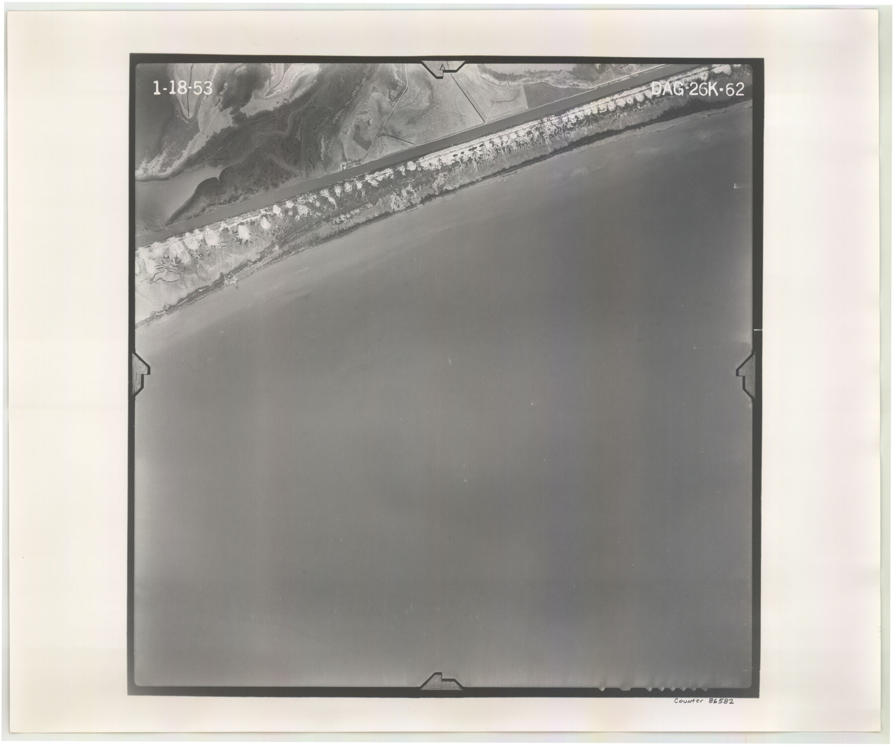
Flight Mission No. DAG-26K, Frame 62, Matagorda County
DAG-26K-62
-
Map/Doc
86582
-
Collection
General Map Collection
-
Object Dates
1953/1/18 (Creation Date)
-
People and Organizations
U. S. Department of Agriculture (Publisher)
-
Counties
Matagorda
-
Subjects
Aerial Photograph
-
Height x Width
18.7 x 22.5 inches
47.5 x 57.2 cm
-
Comments
Flown by Aero Exploration Company of Tulsa, Oklahoma.
Part of: General Map Collection

Medina County Working Sketch 13

Print $20.00
- Digital $50.00
Medina County Working Sketch 13
1972
Size 31.5 x 39.0 inches
Map/Doc 70928
Hardin County Sketch File 55

Print $40.00
- Digital $50.00
Hardin County Sketch File 55
1924
Size 14.2 x 13.3 inches
Map/Doc 25220
Stonewall County Working Sketch 2

Print $20.00
- Digital $50.00
Stonewall County Working Sketch 2
1915
Size 22.7 x 15.2 inches
Map/Doc 63996
Flight Mission No. CLL-1N, Frame 86, Willacy County

Print $20.00
- Digital $50.00
Flight Mission No. CLL-1N, Frame 86, Willacy County
1954
Size 18.4 x 22.1 inches
Map/Doc 87032
Dawson County Sketch File 18

Print $10.00
- Digital $50.00
Dawson County Sketch File 18
1940
Size 14.2 x 9.0 inches
Map/Doc 20567
Maps of Gulf Intracoastal Waterway, Texas - Sabine River to the Rio Grande and connecting waterways including ship channels

Print $20.00
- Digital $50.00
Maps of Gulf Intracoastal Waterway, Texas - Sabine River to the Rio Grande and connecting waterways including ship channels
1966
Size 14.5 x 22.4 inches
Map/Doc 61918
Flight Mission No. DQO-1K, Frame 39, Galveston County

Print $20.00
- Digital $50.00
Flight Mission No. DQO-1K, Frame 39, Galveston County
1952
Size 18.8 x 22.6 inches
Map/Doc 84982
Milam County Boundary File 4

Print $4.00
- Digital $50.00
Milam County Boundary File 4
Size 13.3 x 8.2 inches
Map/Doc 57221
Presidio County Working Sketch 84

Print $20.00
- Digital $50.00
Presidio County Working Sketch 84
1970
Size 20.7 x 17.8 inches
Map/Doc 71761
Flight Mission No. DAG-24K, Frame 46, Matagorda County

Print $20.00
- Digital $50.00
Flight Mission No. DAG-24K, Frame 46, Matagorda County
1953
Size 18.5 x 22.2 inches
Map/Doc 86533
Culberson County Working Sketch 85

Print $20.00
- Digital $50.00
Culberson County Working Sketch 85
1981
Size 37.0 x 36.9 inches
Map/Doc 68539
You may also like
King County Sketch File 4

Print $22.00
- Digital $50.00
King County Sketch File 4
Size 8.8 x 14.2 inches
Map/Doc 29022
Duval County Sketch File 34a

Print $20.00
- Digital $50.00
Duval County Sketch File 34a
1935
Size 45.7 x 34.2 inches
Map/Doc 10369
Parker County Sketch File 16

Print $22.00
- Digital $50.00
Parker County Sketch File 16
1870
Size 12.9 x 16.3 inches
Map/Doc 33550
Zapata County Working Sketch 19

Print $40.00
- Digital $50.00
Zapata County Working Sketch 19
1976
Size 41.2 x 55.5 inches
Map/Doc 62070
O'Neall Terrace, a Re-Subdivision of Blocks 37-38-39-40-43-44-45-46-110-112-113-114 and Parts of Blocks 111 and 115, McCrummens Second Addition to the City of Lubbock, Texas

Print $20.00
- Digital $50.00
O'Neall Terrace, a Re-Subdivision of Blocks 37-38-39-40-43-44-45-46-110-112-113-114 and Parts of Blocks 111 and 115, McCrummens Second Addition to the City of Lubbock, Texas
Size 22.6 x 27.5 inches
Map/Doc 92743
Duval County Working Sketch 10

Print $20.00
- Digital $50.00
Duval County Working Sketch 10
1936
Size 20.1 x 20.3 inches
Map/Doc 68723
Sketch from Ward and Crane Counties

Print $20.00
- Digital $50.00
Sketch from Ward and Crane Counties
Size 42.9 x 23.6 inches
Map/Doc 92557
Edwards County

Print $40.00
- Digital $50.00
Edwards County
1900
Size 56.7 x 36.3 inches
Map/Doc 87470
Flight Mission No. DQN-2K, Frame 85, Calhoun County

Print $20.00
- Digital $50.00
Flight Mission No. DQN-2K, Frame 85, Calhoun County
1953
Size 18.8 x 22.4 inches
Map/Doc 84275

Hood County Working Sketch 4

Print $20.00
- Digital $50.00
Hood County Working Sketch 4
1967
Size 31.6 x 36.6 inches
Map/Doc 66198
Approaches to Galveston Bay

Print $40.00
- Digital $50.00
Approaches to Galveston Bay
1992
Size 36.6 x 55.6 inches
Map/Doc 69888