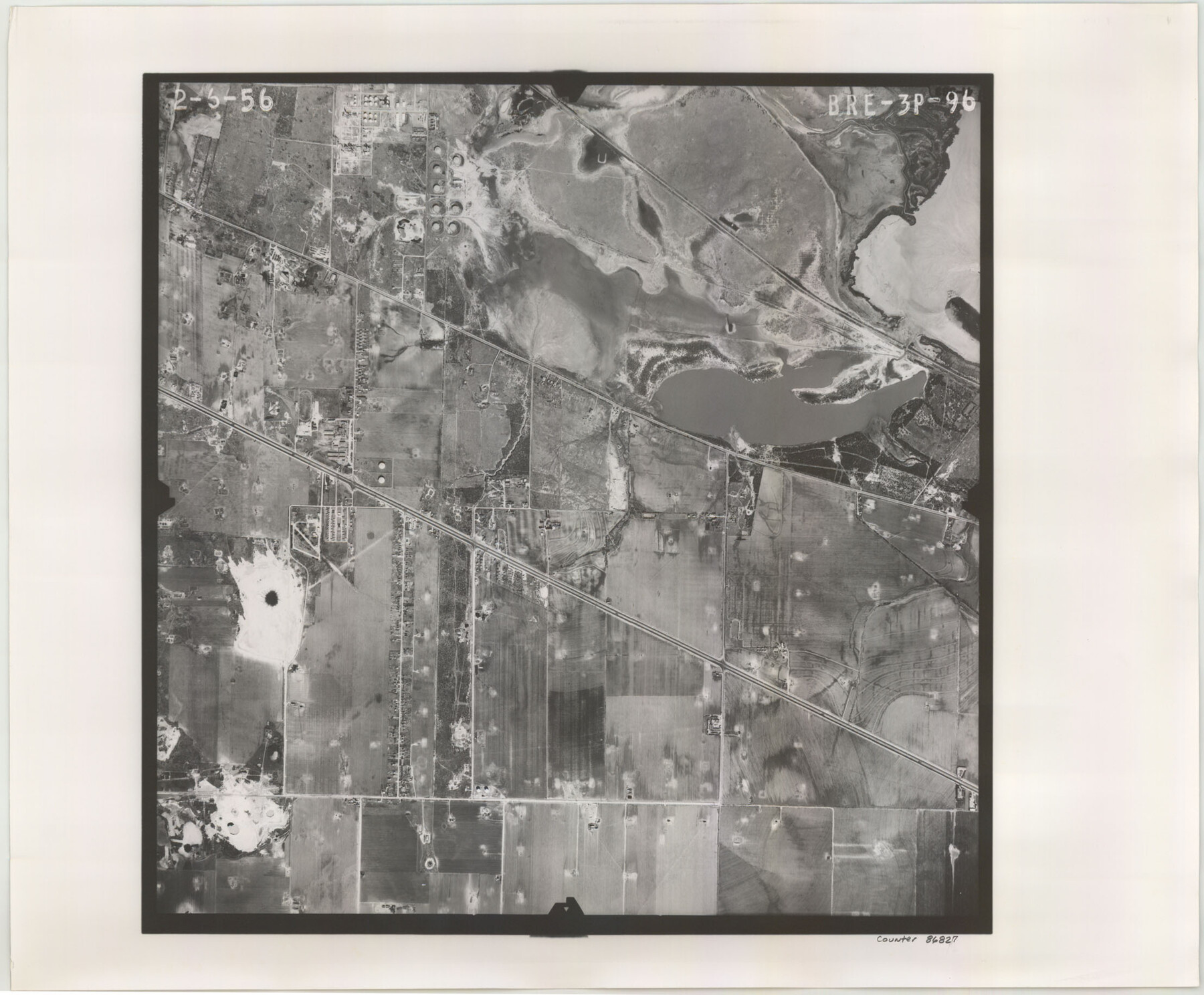
Flight Mission No. BRE-3P, Frame 96, Nueces County
BRE-3P-96
-
Map/Doc
86827
-
Collection
General Map Collection
-
Object Dates
1956/2/6 (Creation Date)
-
People and Organizations
U. S. Department of Agriculture (Publisher)
-
Counties
Nueces
-
Subjects
Aerial Photograph
-
Height x Width
18.3 x 22.2 inches
46.5 x 56.4 cm
-
Comments
Flown by V. L. Beavers and Associates of San Antonio, Texas.
Part of: General Map Collection

Gillespie County Boundary File 4

Print $56.00
- Digital $50.00
Gillespie County Boundary File 4
Size 13.6 x 9.0 inches
Map/Doc 53754
Duval County Rolled Sketch 19

Print $4.00
- Digital $50.00
Duval County Rolled Sketch 19
1940
Size 20.2 x 15.1 inches
Map/Doc 5740
McLennan County Working Sketch 7

Print $20.00
- Digital $50.00
McLennan County Working Sketch 7
1959
Size 22.6 x 23.9 inches
Map/Doc 70700
Maverick County Sketch File 21

Print $32.00
- Digital $50.00
Maverick County Sketch File 21
Size 12.6 x 8.1 inches
Map/Doc 31130
Gonzales County Sketch File 2

Print $10.00
- Digital $50.00
Gonzales County Sketch File 2
Size 8.9 x 7.8 inches
Map/Doc 24357
Hutchinson County Sketch File 2

Print $8.00
- Digital $50.00
Hutchinson County Sketch File 2
1882
Size 14.2 x 8.7 inches
Map/Doc 27173
Armstrong County Sketch File A-9

Print $40.00
- Digital $50.00
Armstrong County Sketch File A-9
1920
Size 13.7 x 35.4 inches
Map/Doc 10851
Jones County Sketch File 15

Print $40.00
- Digital $50.00
Jones County Sketch File 15
1892
Size 13.7 x 16.3 inches
Map/Doc 28503
Newton County Working Sketch 41

Print $20.00
- Digital $50.00
Newton County Working Sketch 41
1979
Size 17.8 x 26.2 inches
Map/Doc 71287
Jackson County Working Sketch 14

Print $20.00
- Digital $50.00
Jackson County Working Sketch 14
1990
Size 31.7 x 32.2 inches
Map/Doc 66462
Schleicher County Sketch File 4

Print $20.00
- Digital $50.00
Schleicher County Sketch File 4
Size 18.8 x 16.1 inches
Map/Doc 12296
You may also like
Flight Mission No. DQN-1K, Frame 133, Calhoun County

Print $20.00
- Digital $50.00
Flight Mission No. DQN-1K, Frame 133, Calhoun County
1953
Size 18.6 x 22.4 inches
Map/Doc 84196
Angelina County Sketch File 15g

Print $4.00
- Digital $50.00
Angelina County Sketch File 15g
1882
Size 10.9 x 8.4 inches
Map/Doc 12996
Jack County Sketch File 19

Print $4.00
- Digital $50.00
Jack County Sketch File 19
1878
Size 10.4 x 8.3 inches
Map/Doc 27559
DeWitt County Sketch File 13

Print $8.00
- Digital $50.00
DeWitt County Sketch File 13
1845
Size 12.8 x 8.2 inches
Map/Doc 20824
Plat Section 2, Block B-16

Print $20.00
- Digital $50.00
Plat Section 2, Block B-16
1930
Size 19.0 x 9.8 inches
Map/Doc 90802
Map of the Military Department of the Gulf

Print $20.00
Map of the Military Department of the Gulf
1864
Size 24.4 x 45.7 inches
Map/Doc 93568
Pecos County Sketch File 85

Print $19.00
- Digital $50.00
Pecos County Sketch File 85
1948
Size 14.6 x 9.2 inches
Map/Doc 33955
Kinney County Rolled Sketch 11

Print $20.00
- Digital $50.00
Kinney County Rolled Sketch 11
1944
Size 39.2 x 32.0 inches
Map/Doc 6540
Harris County Sketch File AA3

Print $8.00
- Digital $50.00
Harris County Sketch File AA3
Size 8.2 x 8.5 inches
Map/Doc 25326

McMullen County, Texas

Print $20.00
- Digital $50.00
McMullen County, Texas
1889
Size 28.7 x 22.1 inches
Map/Doc 575
Sutton County Working Sketch 28

Print $20.00
- Digital $50.00
Sutton County Working Sketch 28
Size 35.7 x 20.5 inches
Map/Doc 62371