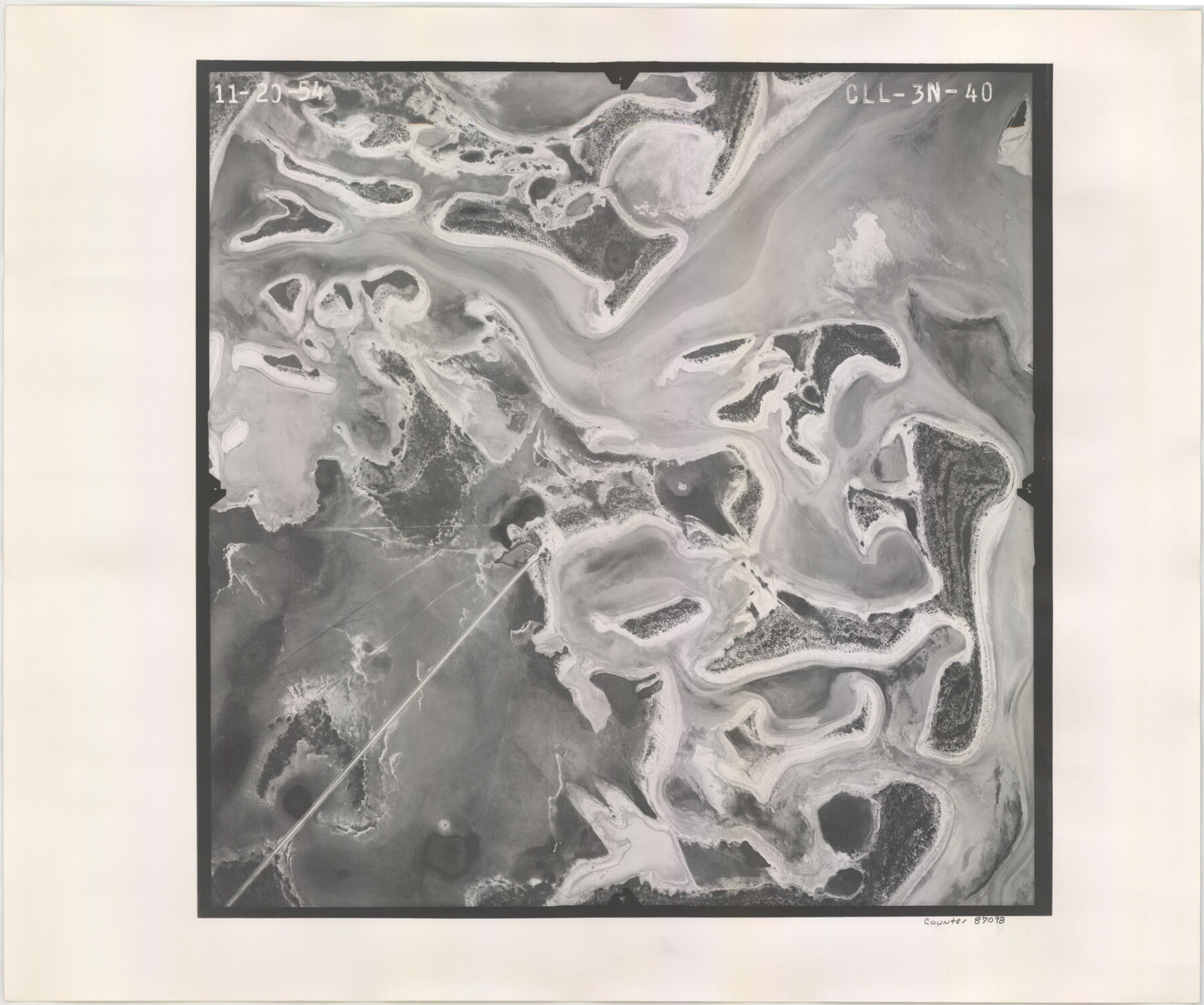
Flight Mission No. CLL-3N, Frame 40, Willacy County
CLL-3N-40
-
Map/Doc
87098
-
Collection
General Map Collection
-
Object Dates
1954/11/20 (Creation Date)
-
People and Organizations
U. S. Department of Agriculture (Publisher)
-
Counties
Willacy
-
Subjects
Aerial Photograph
-
Height x Width
18.3 x 22.0 inches
46.5 x 55.9 cm
-
Comments
Flown by Puckett Aerial Surveys, Inc. of Jackson, Mississippi.
Part of: General Map Collection
Flight Mission No. DQO-8K, Frame 59, Galveston County

Print $20.00
- Digital $50.00
Flight Mission No. DQO-8K, Frame 59, Galveston County
1952
Size 18.6 x 22.4 inches
Map/Doc 85166
Nueces County Rolled Sketch 104A

Print $40.00
- Digital $50.00
Nueces County Rolled Sketch 104A
1975
Size 54.2 x 35.9 inches
Map/Doc 10293
Map of Lipscomb County

Print $20.00
- Digital $50.00
Map of Lipscomb County
1899
Size 43.1 x 39.2 inches
Map/Doc 5017
Madison County Working Sketch 10

Print $20.00
- Digital $50.00
Madison County Working Sketch 10
1960
Size 34.7 x 32.0 inches
Map/Doc 70772
San Saba County Working Sketch 3

Print $20.00
- Digital $50.00
San Saba County Working Sketch 3
1941
Size 27.3 x 20.7 inches
Map/Doc 63791
Hutchinson County Sketch File 35

Print $6.00
- Digital $50.00
Hutchinson County Sketch File 35
1935
Size 11.2 x 8.9 inches
Map/Doc 27267
Presidio County Sketch File T

Print $10.00
- Digital $50.00
Presidio County Sketch File T
Size 13.1 x 8.8 inches
Map/Doc 34539
Hopkins County Working Sketch 1

Print $20.00
- Digital $50.00
Hopkins County Working Sketch 1
1951
Size 24.1 x 19.0 inches
Map/Doc 66226
Erath County Working Sketch 13

Print $20.00
- Digital $50.00
Erath County Working Sketch 13
1952
Size 31.4 x 27.1 inches
Map/Doc 69094
Ward County Sketch File 10

Print $6.00
- Digital $50.00
Ward County Sketch File 10
1936
Size 11.2 x 8.9 inches
Map/Doc 39635
Liberty County Sketch File 57

Print $40.00
- Digital $50.00
Liberty County Sketch File 57
1928
Size 55.1 x 17.4 inches
Map/Doc 10523
Edwards County Working Sketch 59

Print $20.00
- Digital $50.00
Edwards County Working Sketch 59
1954
Size 22.7 x 22.4 inches
Map/Doc 68935
You may also like
Culberson County Rolled Sketch 30

Print $84.00
- Digital $50.00
Culberson County Rolled Sketch 30
1928
Size 57.1 x 36.1 inches
Map/Doc 8746
Baker Addition to Lamesa, Part of Southwest Quarter Section 71, Block 35

Print $20.00
- Digital $50.00
Baker Addition to Lamesa, Part of Southwest Quarter Section 71, Block 35
Size 23.8 x 19.5 inches
Map/Doc 92576
General Highway Map, Houston County, Texas

Print $20.00
General Highway Map, Houston County, Texas
1940
Size 18.3 x 24.8 inches
Map/Doc 79133
Knox County Sketch File 28

Print $20.00
- Digital $50.00
Knox County Sketch File 28
Size 43.4 x 38.3 inches
Map/Doc 10516
Northern Part of Laguna Madre

Print $20.00
- Digital $50.00
Northern Part of Laguna Madre
1968
Size 44.4 x 34.5 inches
Map/Doc 73528
Hartley County Boundary File 4

Print $56.00
- Digital $50.00
Hartley County Boundary File 4
Size 8.6 x 20.7 inches
Map/Doc 54495
Collingsworth County, Texas

Print $20.00
- Digital $50.00
Collingsworth County, Texas
Size 18.3 x 16.6 inches
Map/Doc 465
Angelina County Sketch File 31

Print $8.00
- Digital $50.00
Angelina County Sketch File 31
1988
Size 11.2 x 8.8 inches
Map/Doc 13089
Brazoria County Working Sketch 28

Print $20.00
- Digital $50.00
Brazoria County Working Sketch 28
1971
Size 23.8 x 17.2 inches
Map/Doc 67513
Flight Mission No. BRA-16M, Frame 76, Jefferson County

Print $20.00
- Digital $50.00
Flight Mission No. BRA-16M, Frame 76, Jefferson County
1953
Size 18.6 x 22.3 inches
Map/Doc 85693
Galveston Harbor and Channel, Texas Rehabilitation of South Jetty, Comparison of Shorelines and Offshore Contours 1890 to 1960

Print $20.00
- Digital $50.00
Galveston Harbor and Channel, Texas Rehabilitation of South Jetty, Comparison of Shorelines and Offshore Contours 1890 to 1960
1961
Size 31.6 x 41.8 inches
Map/Doc 61827
Montgomery County Sketch File 1

Print $4.00
- Digital $50.00
Montgomery County Sketch File 1
Size 11.4 x 8.0 inches
Map/Doc 31762