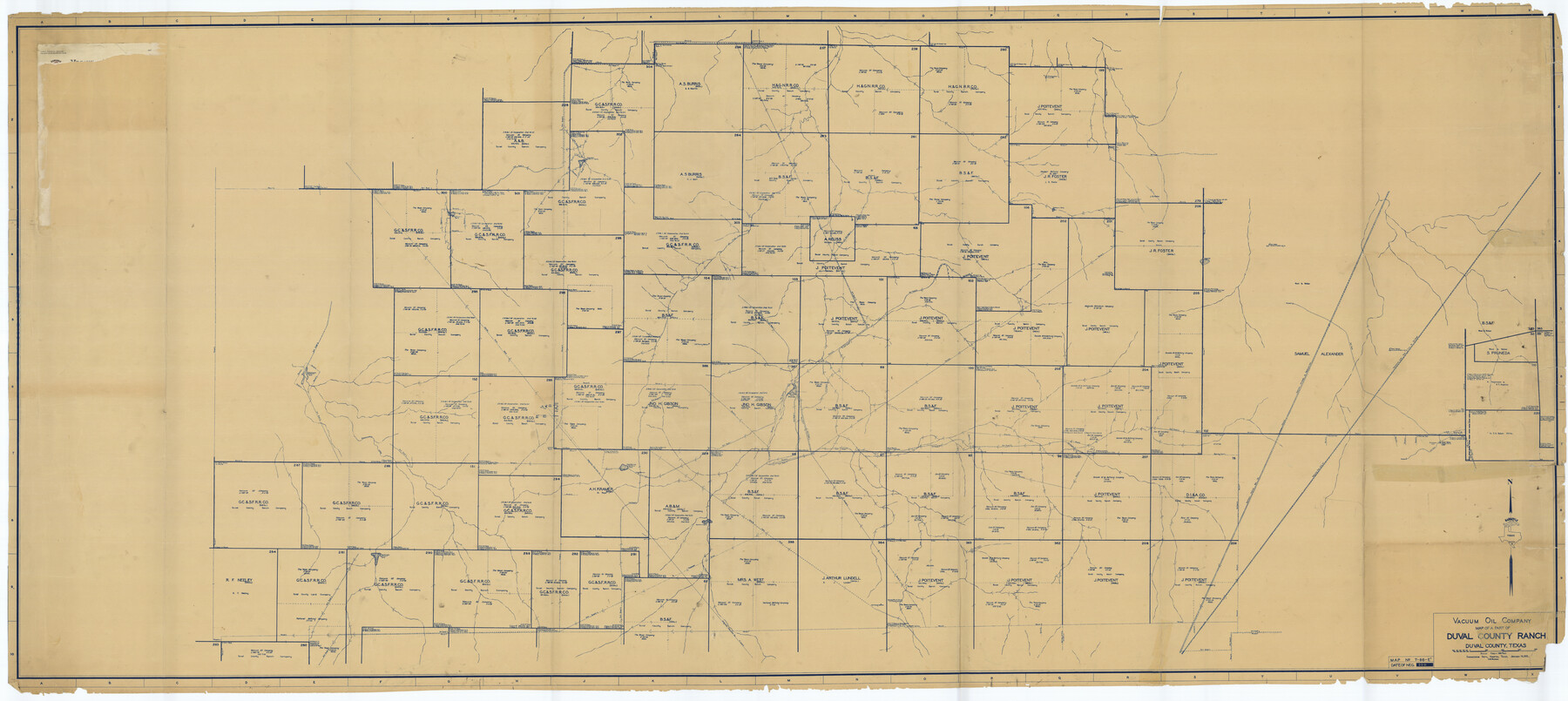
Duval County Rolled Sketch DCR
Vacuum Oil Company map of a part of Duval County Ranch
-
Map/Doc
8804
-
Collection
General Map Collection
-
Object Dates
1931/1/15 (Creation Date)
1931/2/5 (File Date)
-
People and Organizations
C.M. Wildman (Surveyor/Engineer)
-
Counties
Duval
-
Subjects
Surveying Rolled Sketch
-
Height x Width
41.8 x 93.5 inches
106.2 x 237.5 cm
-
Medium
blueprint/diazo
-
Scale
1" = 1000 feet
Part of: General Map Collection
Sketch of Surveys on Neches River

Print $2.00
- Digital $50.00
Sketch of Surveys on Neches River
1845
Size 5.7 x 5.9 inches
Map/Doc 182
Flight Mission No. DQO-1K, Frame 21, Galveston County

Print $20.00
- Digital $50.00
Flight Mission No. DQO-1K, Frame 21, Galveston County
1952
Size 18.8 x 22.6 inches
Map/Doc 84980
A Topographical Map of the Government Tract Adjoining the City of Austin

Print $20.00
- Digital $50.00
A Topographical Map of the Government Tract Adjoining the City of Austin
1840
Size 41.9 x 37.4 inches
Map/Doc 4842
Van Zandt County Rolled Sketch 3

Print $20.00
- Digital $50.00
Van Zandt County Rolled Sketch 3
1946
Size 23.6 x 36.7 inches
Map/Doc 8145
Rusk County Working Sketch 37a

Print $40.00
- Digital $50.00
Rusk County Working Sketch 37a
2007
Size 54.5 x 34.2 inches
Map/Doc 87496
Hutchinson County Rolled Sketch 44-3

Print $20.00
- Digital $50.00
Hutchinson County Rolled Sketch 44-3
2002
Size 24.0 x 36.0 inches
Map/Doc 77539
El Paso County Sketch File 36

Print $2.00
- Digital $50.00
El Paso County Sketch File 36
1984
Size 11.6 x 9.0 inches
Map/Doc 24123
Johnson's New Map of the State of Texas

Print $20.00
- Digital $50.00
Johnson's New Map of the State of Texas
1859
Size 18.6 x 26.8 inches
Map/Doc 89254
Austin County Rolled Sketch 5B

Print $40.00
- Digital $50.00
Austin County Rolled Sketch 5B
1942
Size 22.5 x 50.8 inches
Map/Doc 5106
Presidio County Rolled Sketch 62

Print $20.00
- Digital $50.00
Presidio County Rolled Sketch 62
1916
Size 39.5 x 21.7 inches
Map/Doc 78468
Ochiltree County Sketch File 6

Print $20.00
- Digital $50.00
Ochiltree County Sketch File 6
1930
Size 9.5 x 32.7 inches
Map/Doc 42203
Bexar County Sketch File 27

Print $4.00
- Digital $50.00
Bexar County Sketch File 27
1860
Size 8.6 x 6.5 inches
Map/Doc 14490
You may also like
McMullen County Sketch File 6

Print $4.00
- Digital $50.00
McMullen County Sketch File 6
Size 7.1 x 5.4 inches
Map/Doc 31345
Harris County Boundary File 1

Print $6.00
- Digital $50.00
Harris County Boundary File 1
1963
Size 9.2 x 11.2 inches
Map/Doc 54292
Tarrant County Sketch File 17

Print $8.00
- Digital $50.00
Tarrant County Sketch File 17
1860
Size 8.3 x 8.1 inches
Map/Doc 37716
Irion County Rolled Sketch 18B

Print $152.00
- Digital $50.00
Irion County Rolled Sketch 18B
1978
Size 10.6 x 15.2 inches
Map/Doc 46087
Red River County Rolled Sketch 3

Print $20.00
- Digital $50.00
Red River County Rolled Sketch 3
Size 36.9 x 31.0 inches
Map/Doc 9840
Presidio County Rolled Sketch 39

Print $20.00
- Digital $50.00
Presidio County Rolled Sketch 39
Size 16.0 x 22.0 inches
Map/Doc 7336
Bell County Working Sketch 21

Print $20.00
- Digital $50.00
Bell County Working Sketch 21
2008
Size 41.0 x 29.5 inches
Map/Doc 88887
Hutchinson County Working Sketch 35

Print $20.00
- Digital $50.00
Hutchinson County Working Sketch 35
1978
Size 27.0 x 22.3 inches
Map/Doc 66395
Fayette County

Print $40.00
- Digital $50.00
Fayette County
1978
Size 43.6 x 56.1 inches
Map/Doc 95496
Kaufman County Working Sketch Graphic Index

Print $20.00
- Digital $50.00
Kaufman County Working Sketch Graphic Index
1942
Size 46.1 x 38.3 inches
Map/Doc 76601
Moore County Working Sketch 17

Print $20.00
- Digital $50.00
Moore County Working Sketch 17
1982
Size 37.0 x 36.2 inches
Map/Doc 71199
Real County Working Sketch 82

Print $20.00
- Digital $50.00
Real County Working Sketch 82
1985
Size 24.9 x 23.5 inches
Map/Doc 71974