[Location Survey of the Southern Kansas Railway, Kiowa Extension from a point in Drake's Location, in Indian Territory 100 miles from south line of Kansas, continuing up Wolf Creek and South Canadian River to Cottonwood Creek in Hutchinson County]
[Panhandle of Texas, Station 0 to Station 5930]
-
Map/Doc
88843
-
Collection
General Map Collection
-
Object Dates
1886/10/16 (Creation Date)
-
People and Organizations
C.A. Sias (Surveyor/Engineer)
-
Counties
Roberts
-
Subjects
Railroads
-
Height x Width
39.0 x 40.0 inches
99.1 x 101.6 cm
-
Medium
paper, manuscript
-
Scale
2000 feet = 1 inch
-
Comments
Compliments of Wolf Creek Heritage Museum, Lipscomb, Texas. See 88838 through 88845 for all segments of this map. 88837 is a digital composite of sheets 1-8.
-
Features
SK
Dugout Creek
Cedar Cañon Creek
Walnut Creek
Couch Creek
Pat Creek
Part of: General Map Collection
Central United States [Recto]
![94194, Central United States [Recto], General Map Collection](https://historictexasmaps.com/wmedia_w700/maps/94194.tif.jpg)
![94194, Central United States [Recto], General Map Collection](https://historictexasmaps.com/wmedia_w700/maps/94194.tif.jpg)
Central United States [Recto]
1958
Size 18.3 x 38.6 inches
Map/Doc 94194
Cottle County Sketch File KN


Print $20.00
- Digital $50.00
Cottle County Sketch File KN
Size 18.8 x 25.2 inches
Map/Doc 11203
Jackson County Sketch File 3


Print $34.00
- Digital $50.00
Jackson County Sketch File 3
1875
Size 7.9 x 7.7 inches
Map/Doc 27621
Map of Taylor, Bastrop & Houston Railroad in Williamson, Travis, & Bastrop Counties, Texas


Print $20.00
- Digital $50.00
Map of Taylor, Bastrop & Houston Railroad in Williamson, Travis, & Bastrop Counties, Texas
1887
Size 26.3 x 17.8 inches
Map/Doc 65468
Edwards County Rolled Sketch O


Print $20.00
- Digital $50.00
Edwards County Rolled Sketch O
Size 13.6 x 18.3 inches
Map/Doc 5820
Flight Mission No. DQN-1K, Frame 82, Calhoun County

Print $20.00
- Digital $50.00
Flight Mission No. DQN-1K, Frame 82, Calhoun County
1953
Size 18.5 x 22.2 inches
Map/Doc 84167
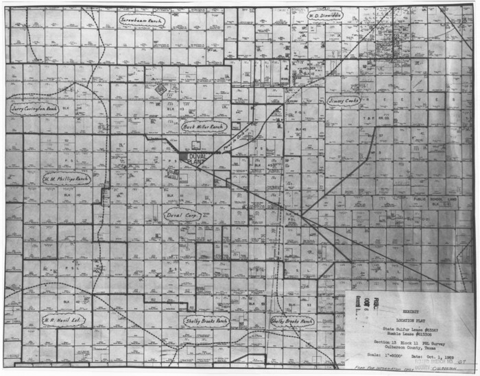
Culberson County Rolled Sketch 67

Print $20.00
- Digital $50.00
Culberson County Rolled Sketch 67
1969
Size 18.1 x 23.1 inches
Map/Doc 5785
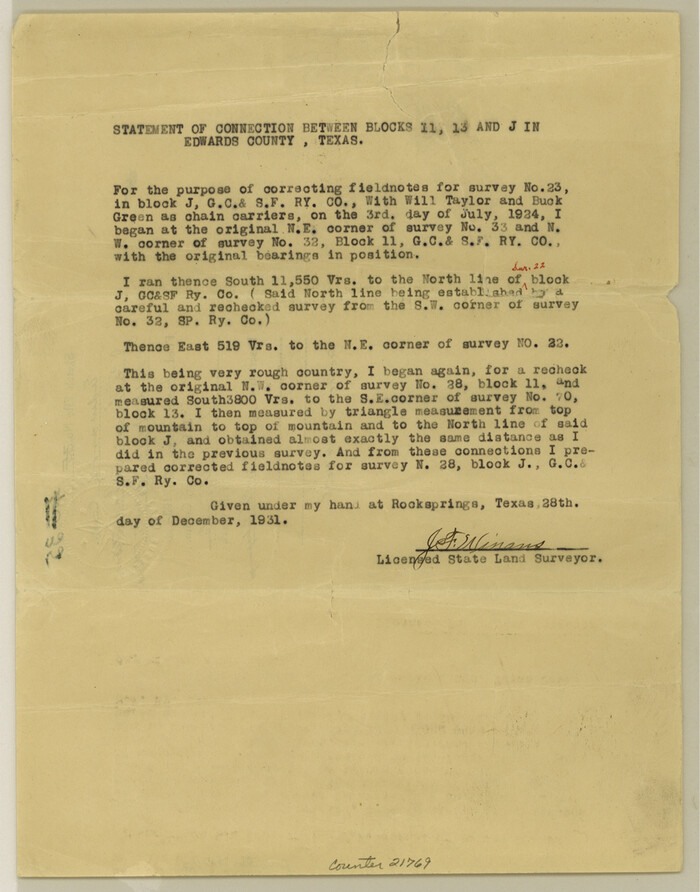
Edwards County Sketch File 35

Print $4.00
- Digital $50.00
Edwards County Sketch File 35
Size 11.3 x 8.9 inches
Map/Doc 21769
Jeff Davis County Working Sketch 10


Print $20.00
- Digital $50.00
Jeff Davis County Working Sketch 10
1946
Size 29.3 x 37.0 inches
Map/Doc 66505
Webb County Sketch File 52


Print $40.00
- Digital $50.00
Webb County Sketch File 52
1939
Size 14.2 x 16.7 inches
Map/Doc 39839
Flight Mission No. DQO-1K, Frame 92, Galveston County


Print $20.00
- Digital $50.00
Flight Mission No. DQO-1K, Frame 92, Galveston County
1952
Size 18.9 x 22.6 inches
Map/Doc 84988
Dimmit County Boundary File 5

Print $6.00
- Digital $50.00
Dimmit County Boundary File 5
Size 11.1 x 8.6 inches
Map/Doc 52577
You may also like
Montgomery County Working Sketch 20

Print $20.00
- Digital $50.00
Montgomery County Working Sketch 20
1935
Size 27.8 x 38.9 inches
Map/Doc 71127
Leon County Rolled Sketch 14

Print $20.00
- Digital $50.00
Leon County Rolled Sketch 14
1976
Size 33.4 x 27.9 inches
Map/Doc 9432
Winkler County Rolled Sketch CE-1

Print $20.00
- Digital $50.00
Winkler County Rolled Sketch CE-1
1936
Size 36.8 x 35.5 inches
Map/Doc 10149
Map of Hale County

Print $20.00
- Digital $50.00
Map of Hale County
1900
Size 47.8 x 38.6 inches
Map/Doc 66847
Schleicher County

Print $40.00
- Digital $50.00
Schleicher County
1940
Size 38.7 x 54.9 inches
Map/Doc 73285
Flight Mission No. CGI-3N, Frame 100, Cameron County


Print $20.00
- Digital $50.00
Flight Mission No. CGI-3N, Frame 100, Cameron County
1954
Size 18.6 x 22.3 inches
Map/Doc 84580
Armstrong County Rolled Sketch OS

Print $20.00
- Digital $50.00
Armstrong County Rolled Sketch OS
1902
Size 17.5 x 32.4 inches
Map/Doc 5086
Andrews County Rolled Sketch 8


Print $40.00
- Digital $50.00
Andrews County Rolled Sketch 8
1928
Size 31.4 x 54.0 inches
Map/Doc 8388
Johnson County Sketch File 15


Print $2.00
- Digital $50.00
Johnson County Sketch File 15
1881
Size 8.1 x 7.3 inches
Map/Doc 28455
Wilbarger County Working Sketch 17


Print $20.00
- Digital $50.00
Wilbarger County Working Sketch 17
1957
Size 7.5 x 18.4 inches
Map/Doc 72555
Van Zandt County Rolled Sketch 7

Print $20.00
- Digital $50.00
Van Zandt County Rolled Sketch 7
1946
Size 27.0 x 20.4 inches
Map/Doc 8147
![88843, [Location Survey of the Southern Kansas Railway, Kiowa Extension from a point in Drake's Location, in Indian Territory 100 miles from south line of Kansas, continuing up Wolf Creek and South Canadian River to Cottonwood Creek in Hutchinson County], General Map Collection](https://historictexasmaps.com/wmedia_w1800h1800/maps/88843.tif.jpg)
