Hardeman Co[unty], Texas
-
Map/Doc
88946
-
Collection
Library of Congress
-
Object Dates
3/1880 (Creation Date)
-
People and Organizations
General Land Office (Publisher)
Woodward, Tiernan and Hale (Printer)
-
Counties
Hardeman
-
Subjects
County
-
Height x Width
27.8 x 23.7 inches
70.6 x 60.2 cm
-
Comments
Prints available from the GLO courtesy of Library of Congress, Geography and Map Division.
Part of: Library of Congress
Map of parts of Presidio, Brewster and Foley Counties


Print $20.00
Map of parts of Presidio, Brewster and Foley Counties
1891
Size 22.5 x 17.5 inches
Map/Doc 88987
Map of Jack County, State of Texas : exhibiting the extent of public surveys land grants and all other official information compiled from official surveys of the Genral Land Office at Austin…
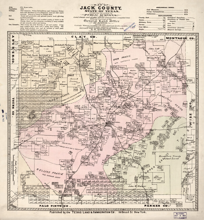

Print $20.00
Map of Jack County, State of Texas : exhibiting the extent of public surveys land grants and all other official information compiled from official surveys of the Genral Land Office at Austin…
1876
Size 16.5 x 15.4 inches
Map/Doc 93591
Map of Maverick County
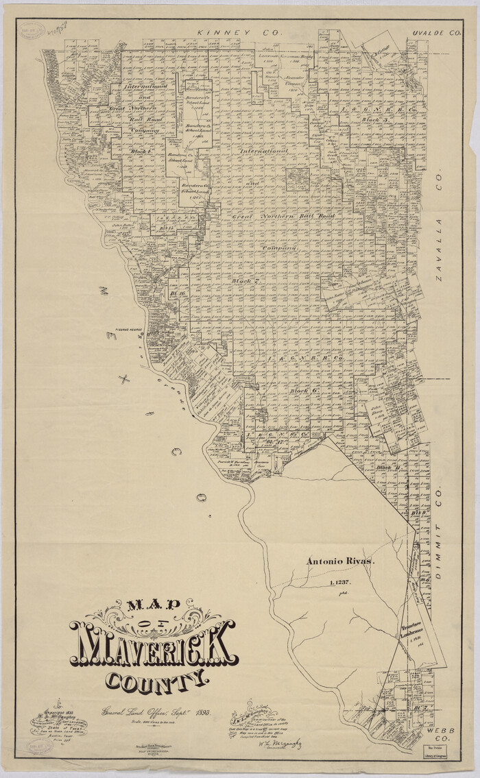

Print $20.00
Map of Maverick County
1893
Size 33.9 x 20.9 inches
Map/Doc 88979
Map of the city of San Antonio, Bexar County, Texas including suburbs both north and south


Print $20.00
Map of the city of San Antonio, Bexar County, Texas including suburbs both north and south
1924
Size 37.0 x 24.5 inches
Map/Doc 93556
Map of Portions of Eastland, Brown and Comanche Counties


Print $20.00
Map of Portions of Eastland, Brown and Comanche Counties
Size 21.7 x 16.7 inches
Map/Doc 88926
Rains and Part of Van Zandt Counties, Texas
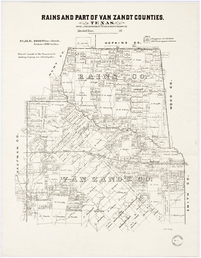

Print $20.00
Rains and Part of Van Zandt Counties, Texas
1870
Size 22.2 x 17.3 inches
Map/Doc 88988
Map of Texas, showing the line of the Texas and New Orleans Rail Road, and its connections in the U.S. and adjacent territories.


Print $20.00
Map of Texas, showing the line of the Texas and New Orleans Rail Road, and its connections in the U.S. and adjacent territories.
1860
Size 22.0 x 31.1 inches
Map/Doc 93612
Map of McMullen County


Print $20.00
Map of McMullen County
1879
Size 28.6 x 19.3 inches
Map/Doc 88975
You may also like
Montgomery County Working Sketch 66


Print $20.00
- Digital $50.00
Montgomery County Working Sketch 66
1967
Size 24.7 x 29.0 inches
Map/Doc 71173
Hood County Sketch File 9


Print $26.00
- Digital $50.00
Hood County Sketch File 9
1859
Size 9.6 x 4.5 inches
Map/Doc 26586
Knox County Sketch File 2
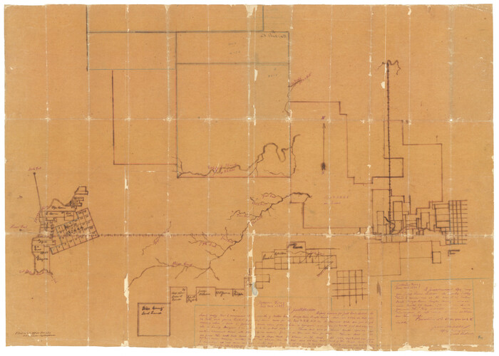

Print $40.00
- Digital $50.00
Knox County Sketch File 2
1872
Size 26.5 x 38.0 inches
Map/Doc 76758
San Patricio County Rolled Sketch 53
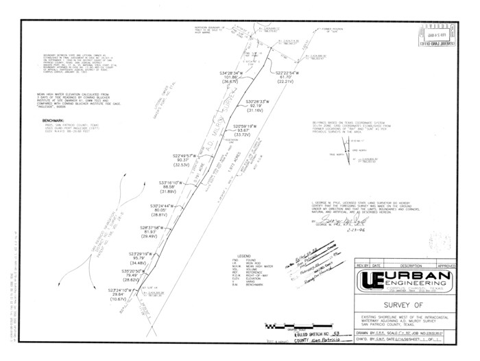

Print $20.00
- Digital $50.00
San Patricio County Rolled Sketch 53
1996
Size 19.1 x 25.3 inches
Map/Doc 7738
Jackson County


Print $20.00
- Digital $50.00
Jackson County
1920
Size 46.9 x 40.8 inches
Map/Doc 77324
Roberts County Working Sketch 31
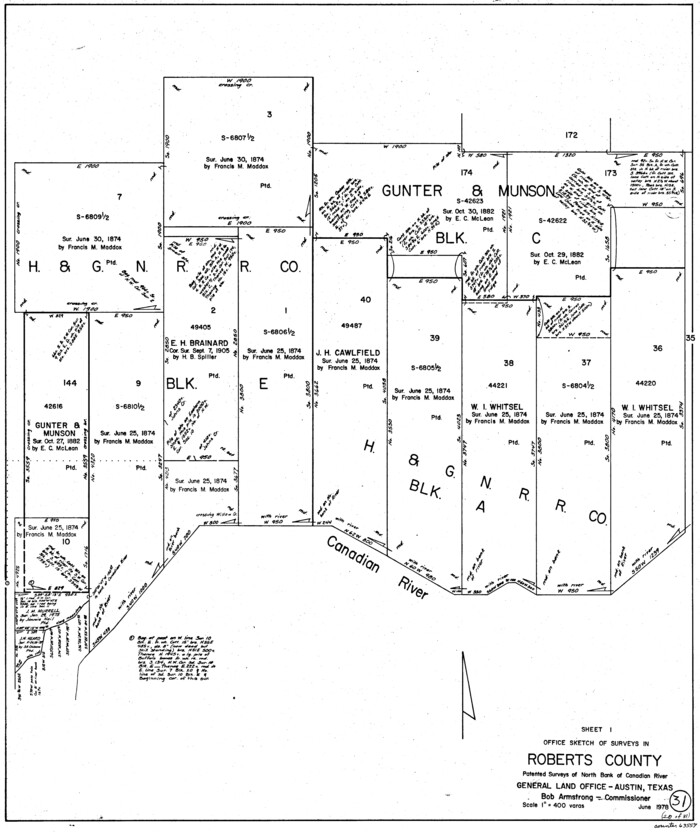

Print $20.00
- Digital $50.00
Roberts County Working Sketch 31
1978
Size 26.6 x 22.4 inches
Map/Doc 63557
Trinity County, Texas
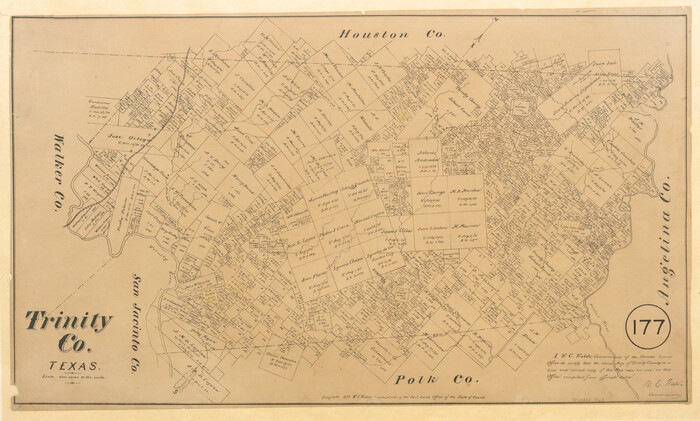

Print $20.00
- Digital $50.00
Trinity County, Texas
1879
Size 15.8 x 23.8 inches
Map/Doc 761
Hamilton County Sketch File 14


Print $10.00
- Digital $50.00
Hamilton County Sketch File 14
Size 10.1 x 8.0 inches
Map/Doc 24937
Deaf Smith County Sketch File C
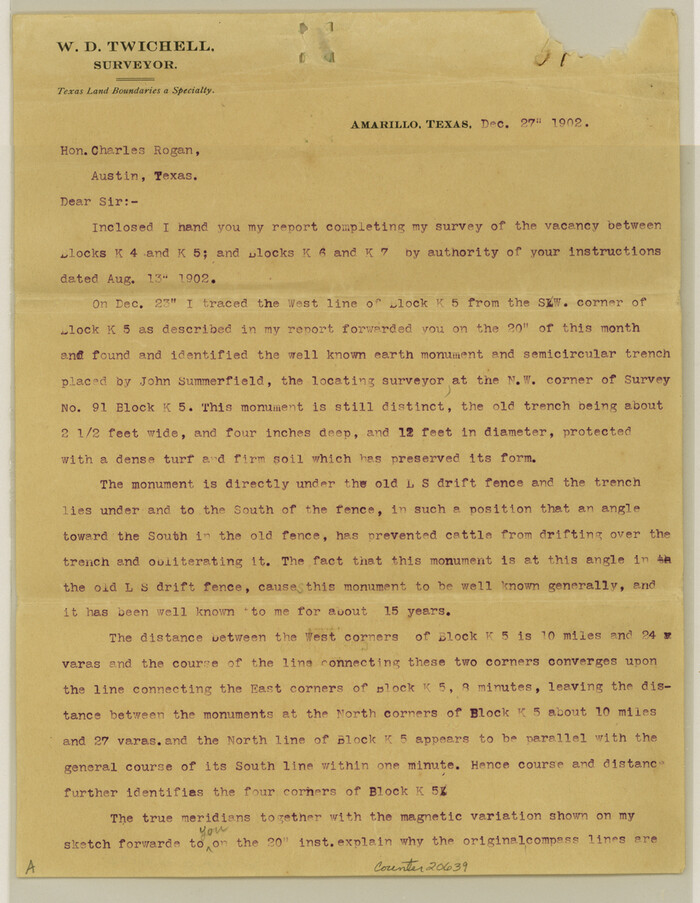

Print $28.00
- Digital $50.00
Deaf Smith County Sketch File C
1902
Size 11.5 x 8.9 inches
Map/Doc 20639
Travis County Working Sketch 23
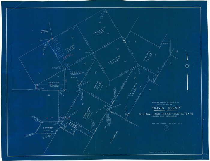

Print $20.00
- Digital $50.00
Travis County Working Sketch 23
1947
Size 23.1 x 30.1 inches
Map/Doc 69407
[Texas State Capitol Land]
![89940, [Texas State Capitol Land], Twichell Survey Records](https://historictexasmaps.com/wmedia_w700/maps/89940-1.tif.jpg)
![89940, [Texas State Capitol Land], Twichell Survey Records](https://historictexasmaps.com/wmedia_w700/maps/89940-1.tif.jpg)
Print $40.00
- Digital $50.00
[Texas State Capitol Land]
Size 37.6 x 72.6 inches
Map/Doc 89940
![88946, Hardeman Co[unty], Texas, Library of Congress](https://historictexasmaps.com/wmedia_w1800h1800/maps/88946.tif.jpg)
