Bird's Eye View of San Antonio, Bexar Co[unty], Texas (Looking North East)
-
Map/Doc
89204
-
Collection
Non-GLO Digital Images
-
Object Dates
1886 (Creation Date)
-
People and Organizations
Augustus Koch (Draftsman)
-
Counties
Bexar
-
Subjects
Bird's Eye View City Pictorial
-
Height x Width
21.5 x 28.1 inches
54.6 x 71.4 cm
-
Comments
Bird's Eye View map. Public Domain image obtained from Wikimedia Commons.
Part of: Non-GLO Digital Images
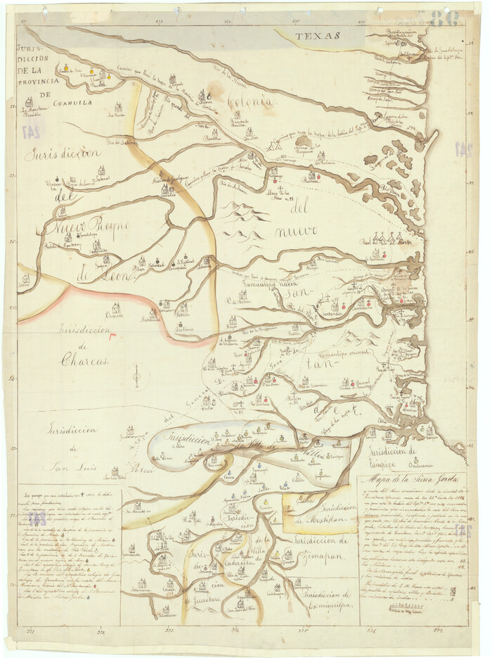
Carta Particular de las Costas Setentrionales del Seno Mexicano que comprehende las de la Florída Ocidental las Márgenes de la Luisiana y toda la rivera que sigue por la Bahía de S. Bernardo y el Rio Bravo del Norte hasta la Laguna Madre


Carta Particular de las Costas Setentrionales del Seno Mexicano que comprehende las de la Florída Ocidental las Márgenes de la Luisiana y toda la rivera que sigue por la Bahía de S. Bernardo y el Rio Bravo del Norte hasta la Laguna Madre
1807
Size 27.3 x 40.3 inches
Map/Doc 94565
A New Map of ye North Parts of America according to the division thereof by the Articles of Peace in 1763


Print $20.00
A New Map of ye North Parts of America according to the division thereof by the Articles of Peace in 1763
1763
Size 8.5 x 11.3 inches
Map/Doc 95280
Austin, State Capital of Texas
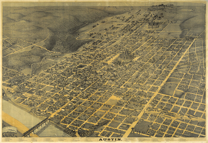

Print $20.00
Austin, State Capital of Texas
1887
Size 27.5 x 40.0 inches
Map/Doc 89218
The Rand-McNally New Commercial Atlas Map of Texas
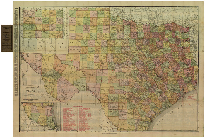

Print $20.00
The Rand-McNally New Commercial Atlas Map of Texas
1914
Size 28.6 x 42.4 inches
Map/Doc 78225
Texas Map Co's Map of Navarro County
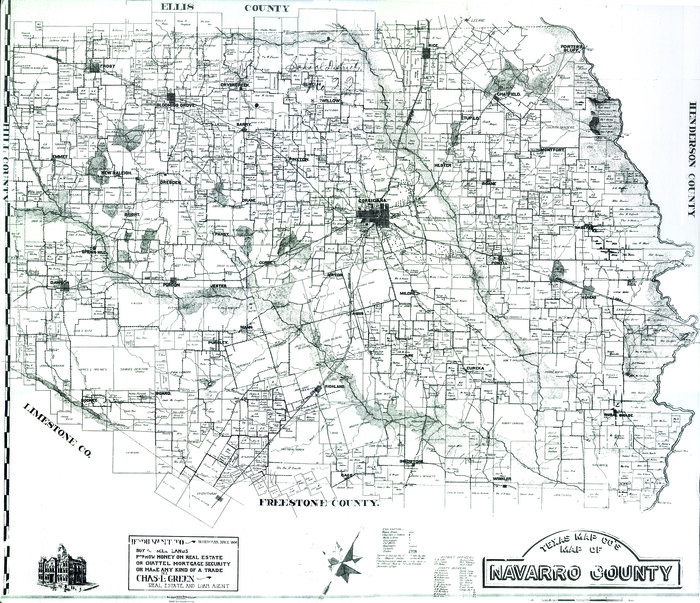

Print $20.00
Texas Map Co's Map of Navarro County
1901
Size 31.3 x 36.3 inches
Map/Doc 96625
Rain Chart of the United States showing by isohyetal lines the distribution of the mean annual precipitation in rain and melted snow
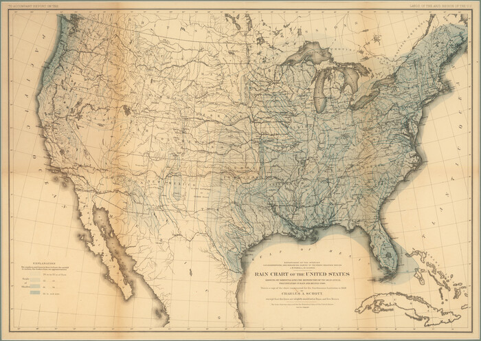

Print $20.00
Rain Chart of the United States showing by isohyetal lines the distribution of the mean annual precipitation in rain and melted snow
1878
Size 20.8 x 29.4 inches
Map/Doc 95190
Engineer map showing engineer information at 23 O'Clock 23 Oct. 1918 drawn under direction of Col. W.A. Mitchell - Verso


Print $20.00
Engineer map showing engineer information at 23 O'Clock 23 Oct. 1918 drawn under direction of Col. W.A. Mitchell - Verso
1918
Size 19.7 x 12.6 inches
Map/Doc 94128
City of Round Rock, Texas
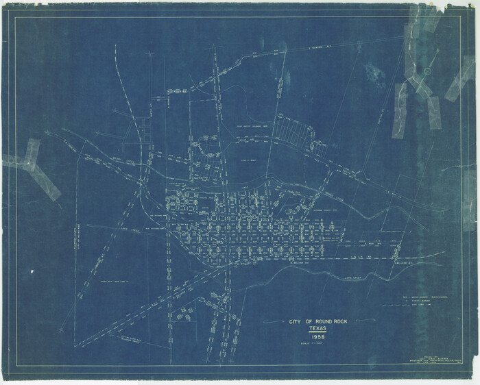

Print $20.00
City of Round Rock, Texas
1958
Size 25.3 x 31.5 inches
Map/Doc 87359
[Movements & Objectives of the 143rd & 144th Infantry on October 9-11, 1918, Appendix E, Nos.2 and 3] - Verso
![94132, [Movements & Objectives of the 143rd & 144th Infantry on October 9-11, 1918, Appendix E, Nos.2 and 3] - Verso, Non-GLO Digital Images](https://historictexasmaps.com/wmedia_w700/maps/94132-1.tif.jpg)
![94132, [Movements & Objectives of the 143rd & 144th Infantry on October 9-11, 1918, Appendix E, Nos.2 and 3] - Verso, Non-GLO Digital Images](https://historictexasmaps.com/wmedia_w700/maps/94132-1.tif.jpg)
Print $20.00
[Movements & Objectives of the 143rd & 144th Infantry on October 9-11, 1918, Appendix E, Nos.2 and 3] - Verso
1918
Size 41.9 x 20.2 inches
Map/Doc 94132
You may also like
Flight Mission No. CUG-1P, Frame 72, Kleberg County


Print $20.00
- Digital $50.00
Flight Mission No. CUG-1P, Frame 72, Kleberg County
1956
Size 18.6 x 22.1 inches
Map/Doc 86137
Hale County Sketch File E


Print $20.00
- Digital $50.00
Hale County Sketch File E
1902
Size 15.2 x 21.5 inches
Map/Doc 11601
Terrell County Sketch File 37


Print $4.00
- Digital $50.00
Terrell County Sketch File 37
Size 14.5 x 9.1 inches
Map/Doc 37999
Shaw Farm, State Prison Farm, Bowie County


Print $20.00
- Digital $50.00
Shaw Farm, State Prison Farm, Bowie County
Size 16.1 x 17.9 inches
Map/Doc 73559
Freestone County Sketch File 26

Print $22.00
- Digital $50.00
Freestone County Sketch File 26
1880
Size 8.2 x 13.2 inches
Map/Doc 23096
Jim Hogg County Rolled Sketch F

Print $20.00
- Digital $50.00
Jim Hogg County Rolled Sketch F
1930
Size 24.5 x 28.9 inches
Map/Doc 6445
Wise County Working Sketch 26
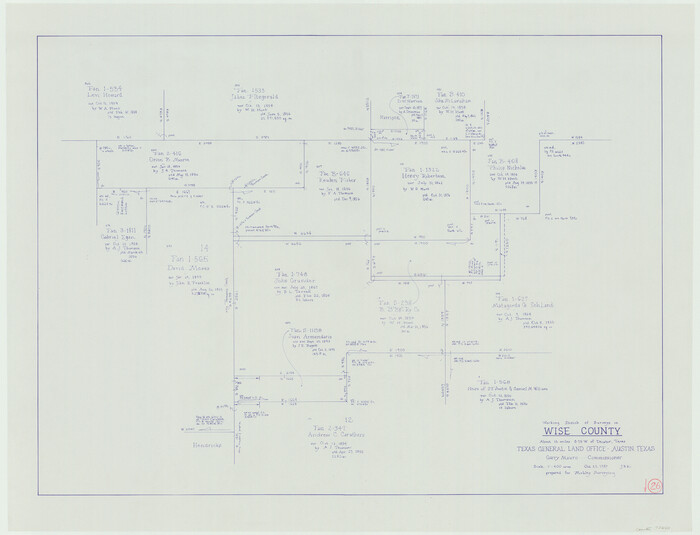

Print $20.00
- Digital $50.00
Wise County Working Sketch 26
1987
Size 25.8 x 33.7 inches
Map/Doc 72640
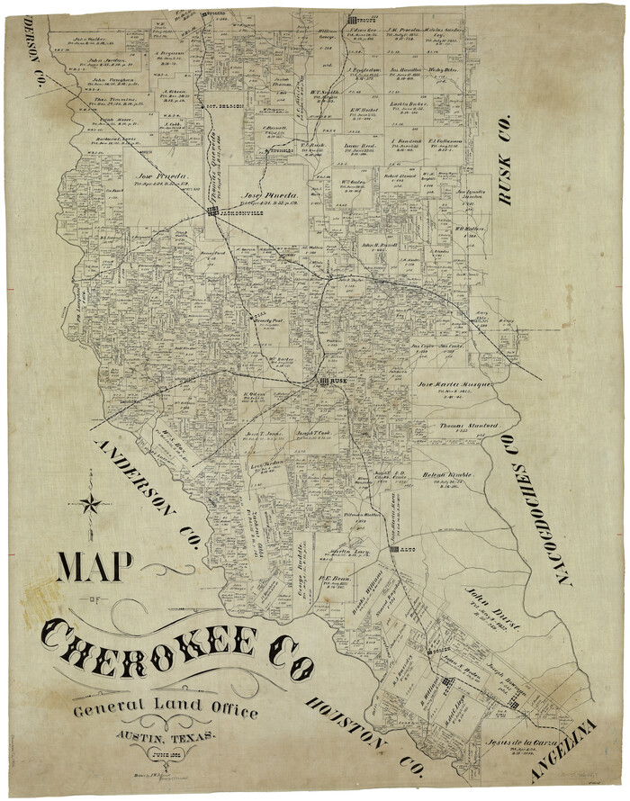
Map of Cherokee Co.

Print $40.00
- Digital $50.00
Map of Cherokee Co.
1902
Size 49.6 x 39.7 inches
Map/Doc 4908
Van Zandt County Working Sketch 5


Print $20.00
- Digital $50.00
Van Zandt County Working Sketch 5
1940
Size 37.2 x 25.5 inches
Map/Doc 72254
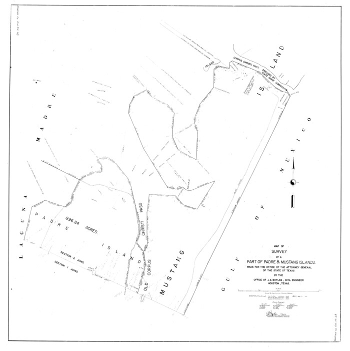
Nueces County Rolled Sketch 45

Print $20.00
- Digital $50.00
Nueces County Rolled Sketch 45
1941
Size 41.0 x 40.9 inches
Map/Doc 10203
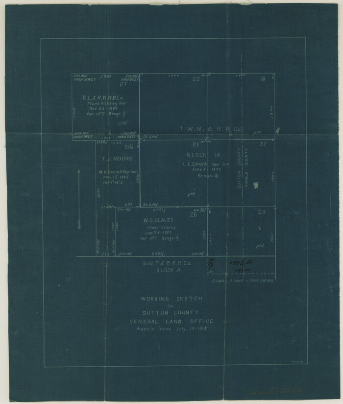
Kimble County Sketch File 27

Print $6.00
- Digital $50.00
Kimble County Sketch File 27
1913
Size 11.4 x 9.7 inches
Map/Doc 28971
![89204, Bird's Eye View of San Antonio, Bexar Co[unty], Texas (Looking North East), Non-GLO Digital Images](https://historictexasmaps.com/wmedia_w1800h1800/maps/89204.tif.jpg)
