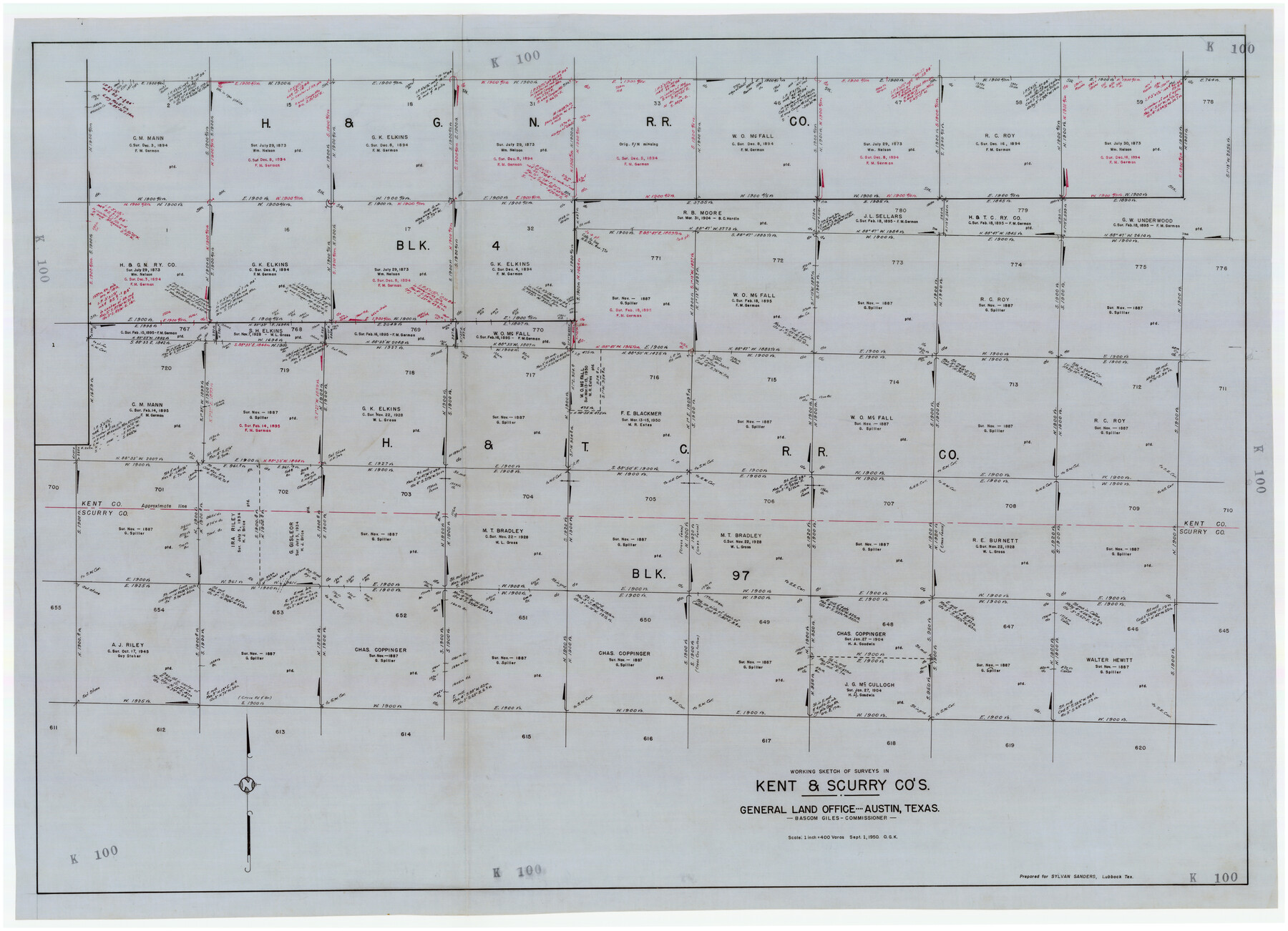
Working Sketch of Surveys in Kent & Scurry Co's.
K100
-
Map/Doc
89860
-
Collection
Twichell Survey Records
-
Object Dates
9/1/1950 (Creation Date)
-
People and Organizations
General Land Office (Publisher)
-
Counties
Kent Scurry
-
Height x Width
50.7 x 36.6 inches
128.8 x 93.0 cm
Part of: Twichell Survey Records
[R. M. Thompson, Block A and Part of Jones County School Land]
![91222, [R. M. Thompson, Block A and Part of Jones County School Land], Twichell Survey Records](https://historictexasmaps.com/wmedia_w700/maps/91222-1.tif.jpg)
Print $20.00
- Digital $50.00
[R. M. Thompson, Block A and Part of Jones County School Land]
Size 10.4 x 20.9 inches
Map/Doc 91222
Subdivision of Tract 2, Soash-White Industrial Addition, Part of Southeast Quarter, Section 2, Block E (Geo. W. Soash - J. B. White, Owners)

Print $20.00
- Digital $50.00
Subdivision of Tract 2, Soash-White Industrial Addition, Part of Southeast Quarter, Section 2, Block E (Geo. W. Soash - J. B. White, Owners)
1956
Size 22.8 x 17.6 inches
Map/Doc 92775
Adrian Heights Addition to Adrian, Located in Section 16, Block K11, Oldham County, Texas

Print $20.00
- Digital $50.00
Adrian Heights Addition to Adrian, Located in Section 16, Block K11, Oldham County, Texas
Size 23.8 x 11.6 inches
Map/Doc 91437
Replat of Baker 2nd Addition to Lamesa, Part of Southwest Quarter, Section 71, Block 35, Dawson County, Texas

Print $20.00
- Digital $50.00
Replat of Baker 2nd Addition to Lamesa, Part of Southwest Quarter, Section 71, Block 35, Dawson County, Texas
1958
Size 9.9 x 18.8 inches
Map/Doc 92633
[Littlefield Subdivision Blocks 657-687]
![91008, [Littlefield Subdivision Blocks 657-687], Twichell Survey Records](https://historictexasmaps.com/wmedia_w700/maps/91008-1.tif.jpg)
Print $20.00
- Digital $50.00
[Littlefield Subdivision Blocks 657-687]
Size 15.7 x 12.1 inches
Map/Doc 91008
[Sections 69-84 Block 47 and part of Block 3]
![91795, [Sections 69-84 Block 47 and part of Block 3], Twichell Survey Records](https://historictexasmaps.com/wmedia_w700/maps/91795-1.tif.jpg)
Print $2.00
- Digital $50.00
[Sections 69-84 Block 47 and part of Block 3]
Size 14.3 x 8.9 inches
Map/Doc 91795
Working Sketch Compiled from Original Field Showing Surveys in Irion County Located by J. A. McDonald in 1856 and 1858

Print $20.00
- Digital $50.00
Working Sketch Compiled from Original Field Showing Surveys in Irion County Located by J. A. McDonald in 1856 and 1858
Size 13.1 x 13.8 inches
Map/Doc 92191
Bray Subdivision and McElroy Subdivision

Print $20.00
- Digital $50.00
Bray Subdivision and McElroy Subdivision
Size 19.3 x 25.2 inches
Map/Doc 92746
[Portions of Blocks 20, 24, S, and the West Lone of Wilson County School Land]
![91326, [Portions of Blocks 20, 24, S, and the West Lone of Wilson County School Land], Twichell Survey Records](https://historictexasmaps.com/wmedia_w700/maps/91326-1.tif.jpg)
Print $20.00
- Digital $50.00
[Portions of Blocks 20, 24, S, and the West Lone of Wilson County School Land]
1910
Size 27.9 x 15.7 inches
Map/Doc 91326
Yellow House Ranch Lamb County, Texas

Print $20.00
- Digital $50.00
Yellow House Ranch Lamb County, Texas
Size 24.0 x 26.2 inches
Map/Doc 92178
[Sketch Showing Connections from Jeremiah McDonald resurvey]
![91154, [Sketch Showing Connections from Jeremiah McDonald resurvey], Twichell Survey Records](https://historictexasmaps.com/wmedia_w700/maps/91154-1.tif.jpg)
Print $20.00
- Digital $50.00
[Sketch Showing Connections from Jeremiah McDonald resurvey]
Size 21.6 x 14.5 inches
Map/Doc 91154
[Southern Pacific Rail Road Co. Blocks 15 and 16 in Mitchell, Sterling and Coke Counties]
![91839, [Southern Pacific Rail Road Co. Blocks 15 and 16 in Mitchell, Sterling and Coke Counties], Twichell Survey Records](https://historictexasmaps.com/wmedia_w700/maps/91839-1.tif.jpg)
Print $20.00
- Digital $50.00
[Southern Pacific Rail Road Co. Blocks 15 and 16 in Mitchell, Sterling and Coke Counties]
Size 30.5 x 35.7 inches
Map/Doc 91839
You may also like
Rusk County Working Sketch 2

Print $40.00
- Digital $50.00
Rusk County Working Sketch 2
Size 36.4 x 58.2 inches
Map/Doc 63637
Falls of St. Anthony

Print $2.00
- Digital $50.00
Falls of St. Anthony
1810
Size 6.2 x 8.8 inches
Map/Doc 95152
Houston County Working Sketch 8

Print $20.00
- Digital $50.00
Houston County Working Sketch 8
1936
Size 41.6 x 30.5 inches
Map/Doc 66238
Flight Mission No. CRK-3P, Frame 65, Refugio County

Print $20.00
- Digital $50.00
Flight Mission No. CRK-3P, Frame 65, Refugio County
1956
Size 18.5 x 22.4 inches
Map/Doc 86907
Flight Mission No. DQO-2K, Frame 92, Galveston County

Print $20.00
- Digital $50.00
Flight Mission No. DQO-2K, Frame 92, Galveston County
1952
Size 18.8 x 22.5 inches
Map/Doc 85019
Martin County Rolled Sketch 3

Print $20.00
- Digital $50.00
Martin County Rolled Sketch 3
Size 29.2 x 15.4 inches
Map/Doc 6664
Fannin County Sketch File 6

Print $20.00
- Digital $50.00
Fannin County Sketch File 6
1857
Size 17.0 x 14.5 inches
Map/Doc 11469
Presidio County Rolled Sketch 80B

Print $20.00
- Digital $50.00
Presidio County Rolled Sketch 80B
1943
Size 17.4 x 18.3 inches
Map/Doc 2060
Pecos County Rolled Sketch 183

Print $20.00
- Digital $50.00
Pecos County Rolled Sketch 183
1982
Size 39.6 x 27.5 inches
Map/Doc 7302
[Map showing T&P Lands in El Paso County]
![88938, [Map showing T&P Lands in El Paso County], Library of Congress](https://historictexasmaps.com/wmedia_w700/maps/88938.tif.jpg)
Print $20.00
[Map showing T&P Lands in El Paso County]
Size 22.4 x 17.2 inches
Map/Doc 88938
![91955, [PSL Block B19], Twichell Survey Records](https://historictexasmaps.com/wmedia_w700/maps/91955-1.tif.jpg)
Filisola Empresario Colony. October 15, 1831

Print $20.00
Filisola Empresario Colony. October 15, 1831
2020
Size 15.3 x 21.7 inches
Map/Doc 95995