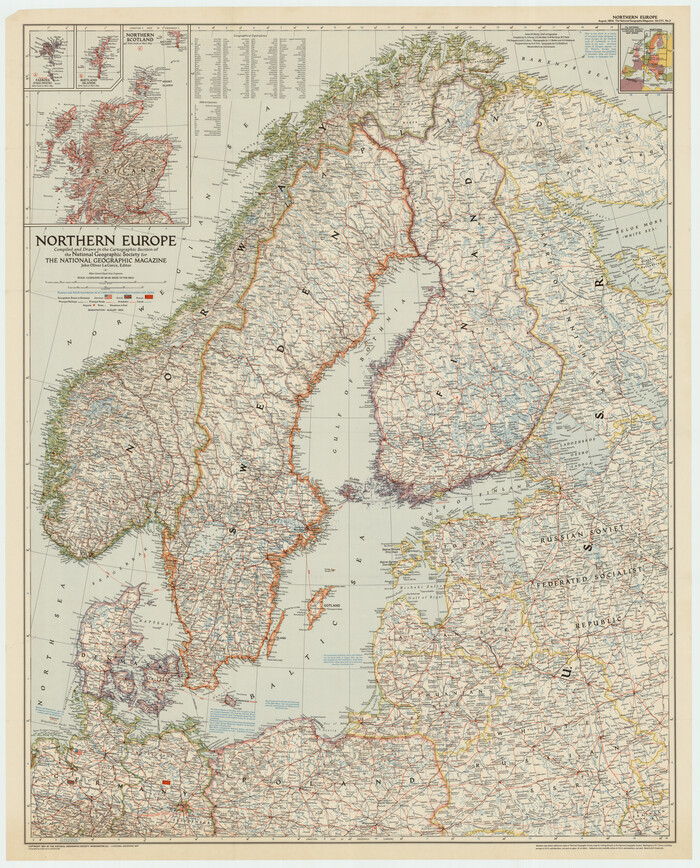
[Sketch showing Northwest corner of Fisher County, Northeast corner of Scurry County and South part of Kent County]
76-9
-
Map/Doc
90917
-
Collection
Twichell Survey Records
-
Object Dates
4/26/1900 (Creation Date)
-
People and Organizations
General Land Office (Publisher)
-
Counties
Fisher Scurry Kent
-
Height x Width
17.7 x 15.0 inches
45.0 x 38.1 cm
Part of: Twichell Survey Records
[Map of Resurvey of Block 34 and 35, Township 5 N]
![90551, [Map of Resurvey of Block 34 and 35, Township 5 N], Twichell Survey Records](https://historictexasmaps.com/wmedia_w700/maps/90551-1.tif.jpg)
![90551, [Map of Resurvey of Block 34 and 35, Township 5 N], Twichell Survey Records](https://historictexasmaps.com/wmedia_w700/maps/90551-1.tif.jpg)
Print $20.00
- Digital $50.00
[Map of Resurvey of Block 34 and 35, Township 5 N]
1915
Size 25.5 x 16.4 inches
Map/Doc 90551
[Blocks 44 and 6T]
![91410, [Blocks 44 and 6T], Twichell Survey Records](https://historictexasmaps.com/wmedia_w700/maps/91410-1.tif.jpg)
![91410, [Blocks 44 and 6T], Twichell Survey Records](https://historictexasmaps.com/wmedia_w700/maps/91410-1.tif.jpg)
Print $20.00
- Digital $50.00
[Blocks 44 and 6T]
Size 29.3 x 17.4 inches
Map/Doc 91410
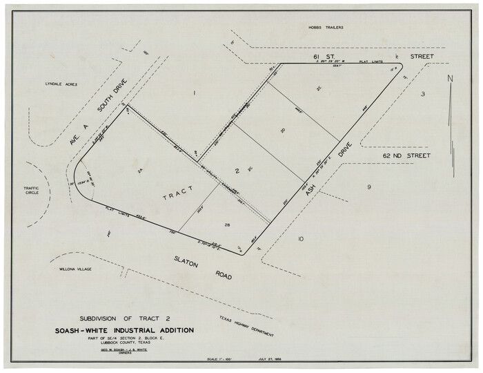
Subdivision of Tract 2, Soash-White Industrial Addition, Part of Southeast Quarter, Section 2, Block E (Geo. W. Soash - J. B. White, Owners)

Print $20.00
- Digital $50.00
Subdivision of Tract 2, Soash-White Industrial Addition, Part of Southeast Quarter, Section 2, Block E (Geo. W. Soash - J. B. White, Owners)
1956
Size 22.8 x 17.6 inches
Map/Doc 92775
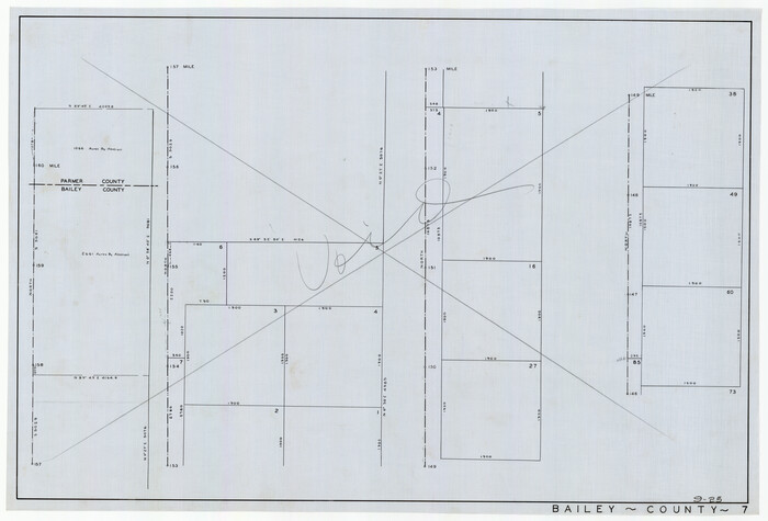
Brazos River Conservation and Reclamation District Official Boundary Line Survey

Print $20.00
- Digital $50.00
Brazos River Conservation and Reclamation District Official Boundary Line Survey
Size 36.9 x 25.0 inches
Map/Doc 90251
[I. & G. N. Block 1, sections 57-70]
![91668, [I. & G. N. Block 1, sections 57-70], Twichell Survey Records](https://historictexasmaps.com/wmedia_w700/maps/91668-1.tif.jpg)
![91668, [I. & G. N. Block 1, sections 57-70], Twichell Survey Records](https://historictexasmaps.com/wmedia_w700/maps/91668-1.tif.jpg)
Print $20.00
- Digital $50.00
[I. & G. N. Block 1, sections 57-70]
Size 28.8 x 22.1 inches
Map/Doc 91668
Map of the Survey of the 100th Meridian of Longitude west of Greenwich beginning at Red River and extending to the parallel 36 1/2 degrees north latitude


Print $40.00
- Digital $50.00
Map of the Survey of the 100th Meridian of Longitude west of Greenwich beginning at Red River and extending to the parallel 36 1/2 degrees north latitude
Size 11.4 x 111.7 inches
Map/Doc 93191
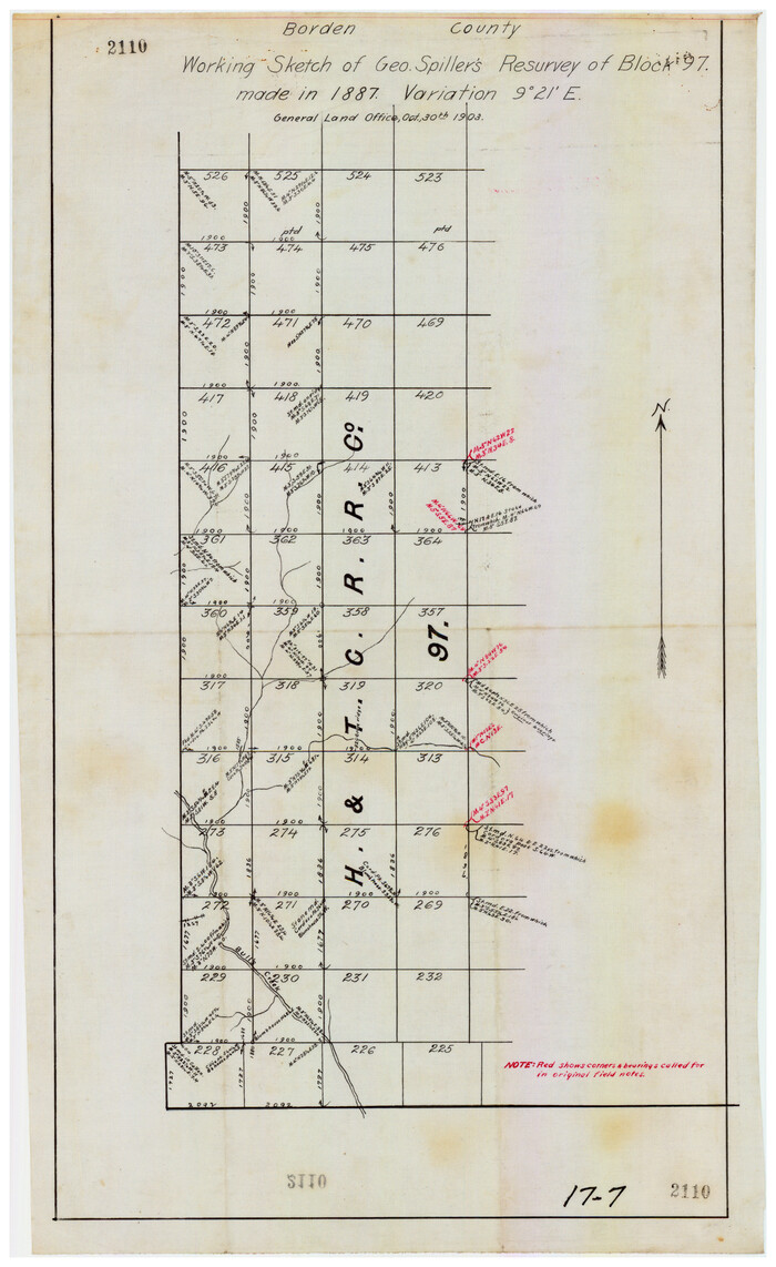
Borden County Working Sketch of Geo. Spiller's Resurvey of Block 97 made in 1887

Print $3.00
- Digital $50.00
Borden County Working Sketch of Geo. Spiller's Resurvey of Block 97 made in 1887
1903
Size 10.1 x 16.6 inches
Map/Doc 90211
[Sketch showing C. D. & W. A. Murphy's Pasture and Wint Barfield's Pasture]
![90935, [Sketch showing C. D. & W. A. Murphy's Pasture and Wint Barfield's Pasture], Twichell Survey Records](https://historictexasmaps.com/wmedia_w700/maps/90935-1.tif.jpg)
![90935, [Sketch showing C. D. & W. A. Murphy's Pasture and Wint Barfield's Pasture], Twichell Survey Records](https://historictexasmaps.com/wmedia_w700/maps/90935-1.tif.jpg)
Print $20.00
- Digital $50.00
[Sketch showing C. D. & W. A. Murphy's Pasture and Wint Barfield's Pasture]
Size 30.4 x 26.7 inches
Map/Doc 90935
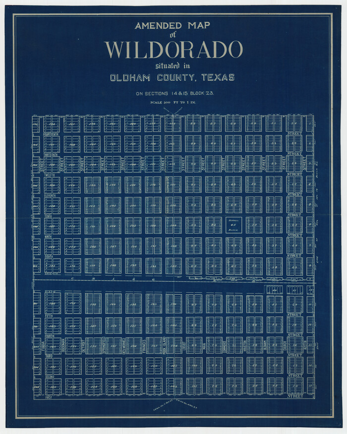
Amended Map of Wildorado Situated in Oldham County, Texas on Sections 14 & 15 Block Z3

Print $20.00
- Digital $50.00
Amended Map of Wildorado Situated in Oldham County, Texas on Sections 14 & 15 Block Z3
Size 14.9 x 18.4 inches
Map/Doc 92095
City of Littlefield Lamb County Texas Located on Texas State Capitol League 664


Print $20.00
- Digital $50.00
City of Littlefield Lamb County Texas Located on Texas State Capitol League 664
Size 41.0 x 37.1 inches
Map/Doc 89911
Sec. 22, Block 103


Print $20.00
- Digital $50.00
Sec. 22, Block 103
Size 13.1 x 14.8 inches
Map/Doc 90120
You may also like
Flight Mission No. DQN-1K, Frame 140, Calhoun County


Print $20.00
- Digital $50.00
Flight Mission No. DQN-1K, Frame 140, Calhoun County
1953
Size 18.5 x 22.2 inches
Map/Doc 84203
University Land Field Notes for Blocks 21 through 26 in Pecos County


University Land Field Notes for Blocks 21 through 26 in Pecos County
Map/Doc 81722
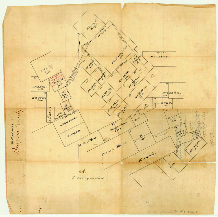
Brazoria County Sketch File 26

Print $40.00
- Digital $50.00
Brazoria County Sketch File 26
Size 13.6 x 13.6 inches
Map/Doc 15028
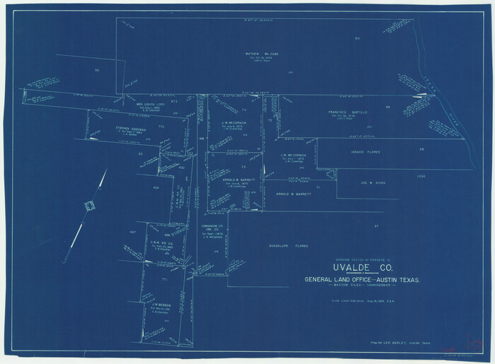
Uvalde County Working Sketch 25

Print $20.00
- Digital $50.00
Uvalde County Working Sketch 25
1954
Size 24.5 x 33.3 inches
Map/Doc 72095
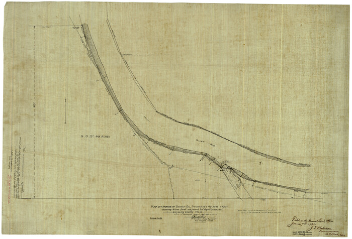
Young County Rolled Sketch 10

Print $20.00
- Digital $50.00
Young County Rolled Sketch 10
1921
Size 27.3 x 40.1 inches
Map/Doc 8298
[Surveys along Trinity River]
![7, [Surveys along Trinity River], General Map Collection](https://historictexasmaps.com/wmedia_w700/maps/7-1.tif.jpg)
![7, [Surveys along Trinity River], General Map Collection](https://historictexasmaps.com/wmedia_w700/maps/7-1.tif.jpg)
Print $20.00
- Digital $50.00
[Surveys along Trinity River]
1844
Size 21.2 x 12.7 inches
Map/Doc 7
Zavala County
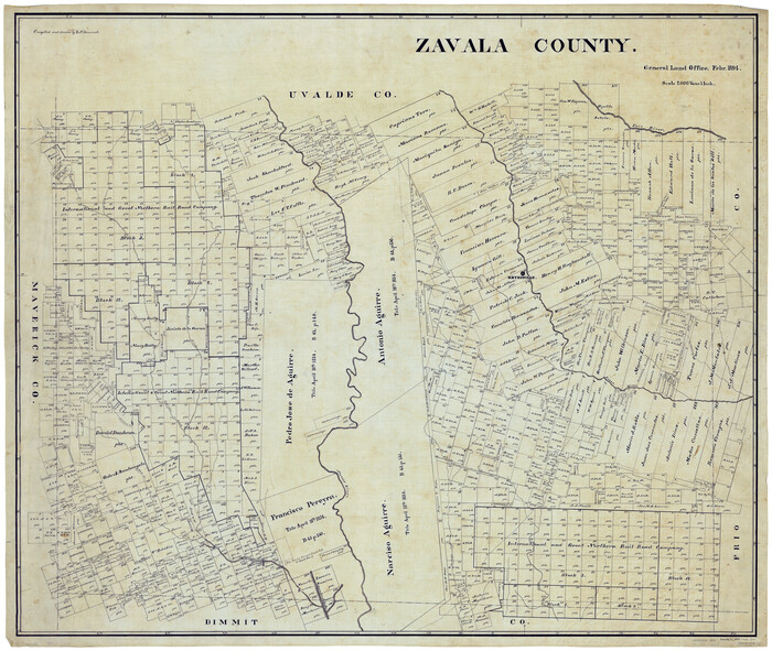

Print $20.00
- Digital $50.00
Zavala County
1894
Size 40.5 x 47.9 inches
Map/Doc 63146
Edwards County Sketch File 17
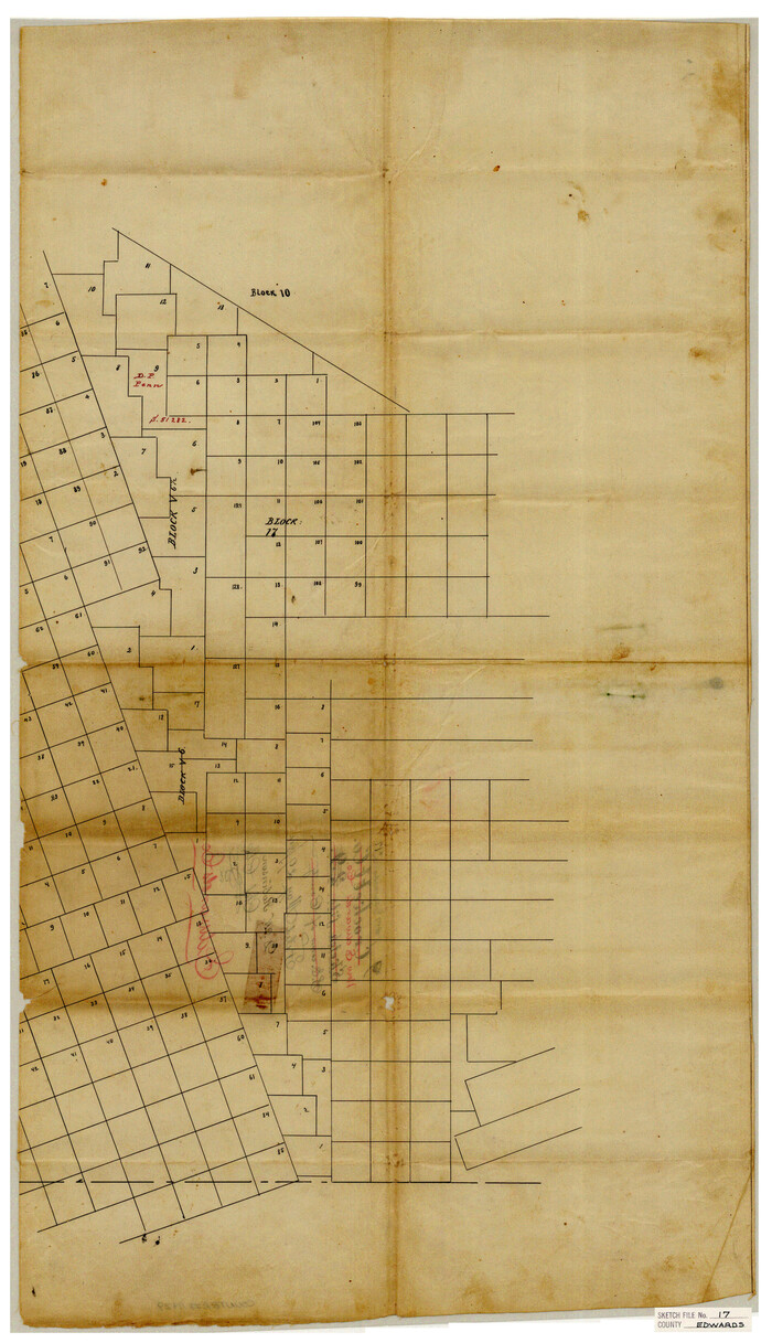

Print $20.00
- Digital $50.00
Edwards County Sketch File 17
Size 31.8 x 18.3 inches
Map/Doc 11429
[Blocks O3 and O4 and Capitol Leagues in the vicinity]
![90391, [Blocks O3 and O4 and Capitol Leagues in the vicinity], Twichell Survey Records](https://historictexasmaps.com/wmedia_w700/maps/90391-1.tif.jpg)
![90391, [Blocks O3 and O4 and Capitol Leagues in the vicinity], Twichell Survey Records](https://historictexasmaps.com/wmedia_w700/maps/90391-1.tif.jpg)
Print $2.00
- Digital $50.00
[Blocks O3 and O4 and Capitol Leagues in the vicinity]
Size 8.4 x 10.5 inches
Map/Doc 90391
Kerr County Rolled Sketch 10


Print $20.00
- Digital $50.00
Kerr County Rolled Sketch 10
1946
Size 20.7 x 26.2 inches
Map/Doc 6494
Presidio County Rolled Sketch D1
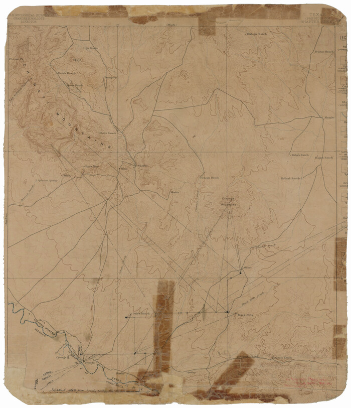

Print $20.00
- Digital $50.00
Presidio County Rolled Sketch D1
Size 18.7 x 16.1 inches
Map/Doc 78524
Flight Mission No. BRE-1P, Frame 28, Nueces County
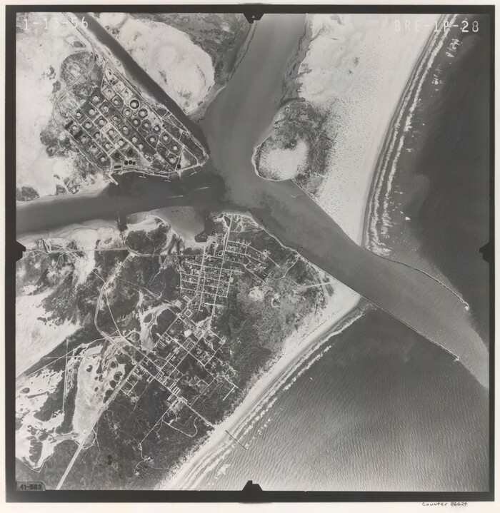

Print $20.00
- Digital $50.00
Flight Mission No. BRE-1P, Frame 28, Nueces County
1956
Size 16.6 x 16.1 inches
Map/Doc 86624
![90917, [Sketch showing Northwest corner of Fisher County, Northeast corner of Scurry County and South part of Kent County], Twichell Survey Records](https://historictexasmaps.com/wmedia_w1800h1800/maps/90917-1.tif.jpg)
