[Capitol Leagues in Lamb County]
140-62
-
Map/Doc
91014
-
Collection
Twichell Survey Records
-
Object Dates
1912/12/29 (Creation Date)
-
People and Organizations
W.D. Twichell (Surveyor/Engineer)
-
Counties
Lamb
-
Height x Width
12.7 x 8.8 inches
32.3 x 22.4 cm
Part of: Twichell Survey Records
Sheet 5 copied from Peck Book 6 [Strip Map showing T. & P. connecting lines]
![93171, Sheet 5 copied from Peck Book 6 [Strip Map showing T. & P. connecting lines], Twichell Survey Records](https://historictexasmaps.com/wmedia_w700/maps/93171-1.tif.jpg)
![93171, Sheet 5 copied from Peck Book 6 [Strip Map showing T. & P. connecting lines], Twichell Survey Records](https://historictexasmaps.com/wmedia_w700/maps/93171-1.tif.jpg)
Print $40.00
- Digital $50.00
Sheet 5 copied from Peck Book 6 [Strip Map showing T. & P. connecting lines]
1909
Size 7.0 x 70.7 inches
Map/Doc 93171
[Block M, Section 132, Dawson County, Texas]
![92631, [Block M, Section 132, Dawson County, Texas], Twichell Survey Records](https://historictexasmaps.com/wmedia_w700/maps/92631-1.tif.jpg)
![92631, [Block M, Section 132, Dawson County, Texas], Twichell Survey Records](https://historictexasmaps.com/wmedia_w700/maps/92631-1.tif.jpg)
Print $20.00
- Digital $50.00
[Block M, Section 132, Dawson County, Texas]
1951
Size 15.9 x 14.3 inches
Map/Doc 92631
[T. & N. O. RR. Block 1T]
![91902, [T. & N. O. RR. Block 1T], Twichell Survey Records](https://historictexasmaps.com/wmedia_w700/maps/91902-1.tif.jpg)
![91902, [T. & N. O. RR. Block 1T], Twichell Survey Records](https://historictexasmaps.com/wmedia_w700/maps/91902-1.tif.jpg)
Print $20.00
- Digital $50.00
[T. & N. O. RR. Block 1T]
Size 14.9 x 20.0 inches
Map/Doc 91902
[Tie Line, Zavala County School Land to North Line of Block D11, East and South to Double Lakes Corner]
![91868, [Tie Line, Zavala County School Land to North Line of Block D11, East and South to Double Lakes Corner], Twichell Survey Records](https://historictexasmaps.com/wmedia_w700/maps/91868-1.tif.jpg)
![91868, [Tie Line, Zavala County School Land to North Line of Block D11, East and South to Double Lakes Corner], Twichell Survey Records](https://historictexasmaps.com/wmedia_w700/maps/91868-1.tif.jpg)
Print $20.00
- Digital $50.00
[Tie Line, Zavala County School Land to North Line of Block D11, East and South to Double Lakes Corner]
1900
Size 18.5 x 12.6 inches
Map/Doc 91868
W. D. McMillan Estate


Print $20.00
- Digital $50.00
W. D. McMillan Estate
1951
Size 18.0 x 23.1 inches
Map/Doc 92730
Laneer vs. Bivins, Potter County, Texas


Print $20.00
- Digital $50.00
Laneer vs. Bivins, Potter County, Texas
Size 21.2 x 18.8 inches
Map/Doc 93100
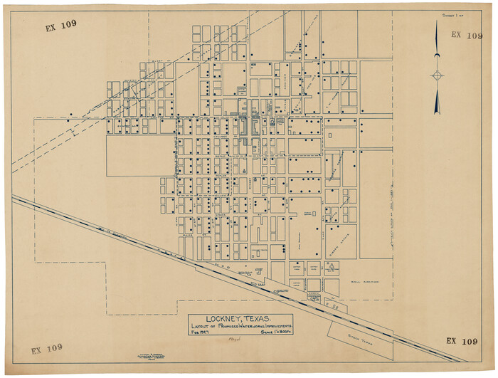
Lockney, Texas. Layout of Proposed Waterworks Improvements

Print $20.00
- Digital $50.00
Lockney, Texas. Layout of Proposed Waterworks Improvements
1927
Size 30.8 x 23.4 inches
Map/Doc 92643
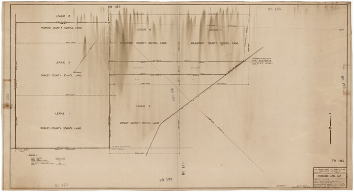
Purchase Area Map, Ropesville Rural Communities, Hockley County, Texas

Print $40.00
- Digital $50.00
Purchase Area Map, Ropesville Rural Communities, Hockley County, Texas
1937
Size 52.9 x 29.3 inches
Map/Doc 89681
Plat Showing Proposed Dam & Reservoir Under Application No. 561 Located at Mouth of Clear Fork of Brazos River


Print $20.00
- Digital $50.00
Plat Showing Proposed Dam & Reservoir Under Application No. 561 Located at Mouth of Clear Fork of Brazos River
1921
Size 24.0 x 16.6 inches
Map/Doc 92094
[Block 37, Townships 1 and 2 North]
![91344, [Block 37, Townships 1 and 2 North], Twichell Survey Records](https://historictexasmaps.com/wmedia_w700/maps/91344-1.tif.jpg)
![91344, [Block 37, Townships 1 and 2 North], Twichell Survey Records](https://historictexasmaps.com/wmedia_w700/maps/91344-1.tif.jpg)
Print $20.00
- Digital $50.00
[Block 37, Townships 1 and 2 North]
Size 13.9 x 34.3 inches
Map/Doc 91344
[Sketch of PSL Blocks A21-A24, A33, A34, A36, A42, A43, A46]
![89741, [Sketch of PSL Blocks A21-A24, A33, A34, A36, A42, A43, A46], Twichell Survey Records](https://historictexasmaps.com/wmedia_w700/maps/89741-1.tif.jpg)
![89741, [Sketch of PSL Blocks A21-A24, A33, A34, A36, A42, A43, A46], Twichell Survey Records](https://historictexasmaps.com/wmedia_w700/maps/89741-1.tif.jpg)
Print $40.00
- Digital $50.00
[Sketch of PSL Blocks A21-A24, A33, A34, A36, A42, A43, A46]
Size 23.1 x 63.1 inches
Map/Doc 89741
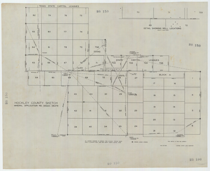
Hockley County Sketch Mineral Application Number 38322- 38379

Print $20.00
- Digital $50.00
Hockley County Sketch Mineral Application Number 38322- 38379
1946
Size 34.1 x 27.8 inches
Map/Doc 92242
You may also like
Galveston County Rolled Sketch V


Print $20.00
- Digital $50.00
Galveston County Rolled Sketch V
1934
Size 38.7 x 30.3 inches
Map/Doc 5992
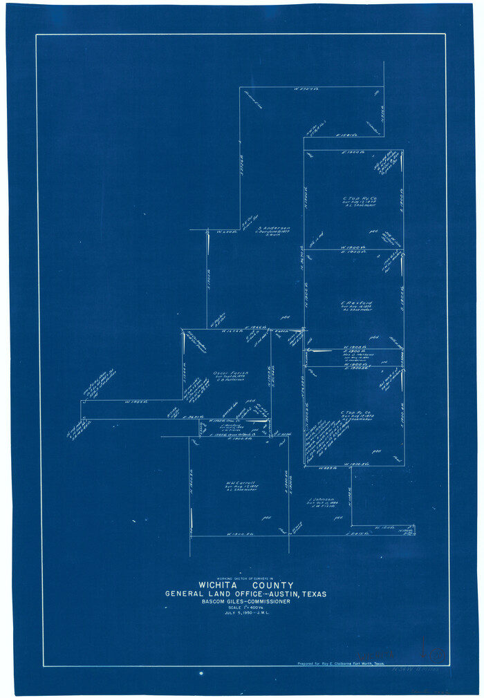
Wichita County Working Sketch 20

Print $20.00
- Digital $50.00
Wichita County Working Sketch 20
1950
Size 33.2 x 23.0 inches
Map/Doc 72530
Hemphill County Boundary File 4


Print $58.00
- Digital $50.00
Hemphill County Boundary File 4
Size 10.0 x 41.1 inches
Map/Doc 54639
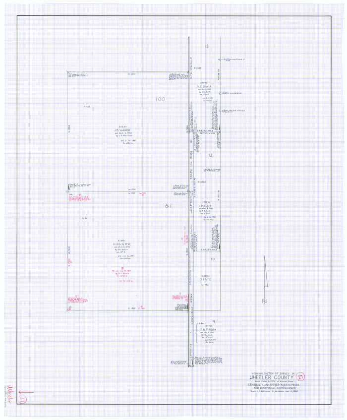
Wheeler County Working Sketch 17

Print $20.00
- Digital $50.00
Wheeler County Working Sketch 17
1982
Size 33.5 x 27.7 inches
Map/Doc 72506
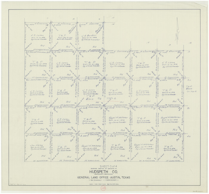
Hudspeth County Working Sketch 28

Print $20.00
- Digital $50.00
Hudspeth County Working Sketch 28
1972
Size 29.2 x 31.3 inches
Map/Doc 66310
Austin County Sketch File 5


Print $40.00
- Digital $50.00
Austin County Sketch File 5
1885
Size 47.7 x 24.6 inches
Map/Doc 10319
Bee County Working Sketch 16


Print $20.00
- Digital $50.00
Bee County Working Sketch 16
1974
Size 18.0 x 19.6 inches
Map/Doc 67266
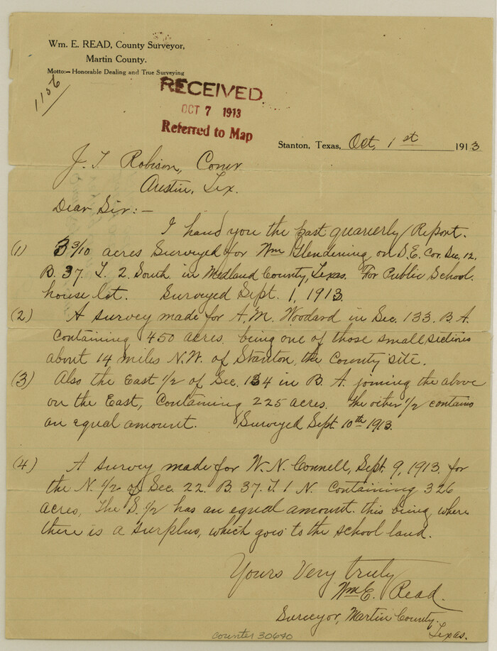
Martin County Sketch File 5

Print $4.00
- Digital $50.00
Martin County Sketch File 5
1913
Size 11.4 x 8.7 inches
Map/Doc 30640
Flight Mission No. BRE-2P, Frame 48, Nueces County

Print $20.00
- Digital $50.00
Flight Mission No. BRE-2P, Frame 48, Nueces County
1956
Size 18.5 x 22.3 inches
Map/Doc 86750
[Surveys in Jackson County]
![78354, [Surveys in Jackson County], General Map Collection](https://historictexasmaps.com/wmedia_w700/maps/78354.tif.jpg)
![78354, [Surveys in Jackson County], General Map Collection](https://historictexasmaps.com/wmedia_w700/maps/78354.tif.jpg)
Print $20.00
- Digital $50.00
[Surveys in Jackson County]
Size 20.2 x 19.3 inches
Map/Doc 78354
Bexar County Working Sketch 19
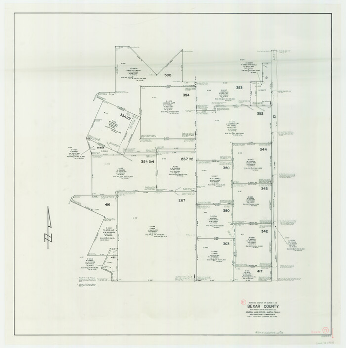

Print $20.00
- Digital $50.00
Bexar County Working Sketch 19
1982
Size 41.8 x 41.7 inches
Map/Doc 67335
![91014, [Capitol Leagues in Lamb County], Twichell Survey Records](https://historictexasmaps.com/wmedia_w1800h1800/maps/91014-1.tif.jpg)
