[Sections 2-5, H. & G. N. Block 12]
186-75
-
Map/Doc
91583
-
Collection
Twichell Survey Records
-
Counties
Pecos
-
Height x Width
12.3 x 9.2 inches
31.2 x 23.4 cm
Part of: Twichell Survey Records
[G. C. & S. F. Railroad Company, Block S]
![91330, [G. C. & S. F. Railroad Company, Block S], Twichell Survey Records](https://historictexasmaps.com/wmedia_w700/maps/91330-1.tif.jpg)
![91330, [G. C. & S. F. Railroad Company, Block S], Twichell Survey Records](https://historictexasmaps.com/wmedia_w700/maps/91330-1.tif.jpg)
Print $2.00
- Digital $50.00
[G. C. & S. F. Railroad Company, Block S]
Size 8.6 x 6.0 inches
Map/Doc 91330
League 206 Ochiltree County School Land


Print $20.00
- Digital $50.00
League 206 Ochiltree County School Land
Size 24.0 x 19.5 inches
Map/Doc 92481
[C.C.S.D. & R.G.N.G. RR. Co. Blk. G east thru T.&P. Blk 33]
![89777, [C.C.S.D. & R.G.N.G. RR. Co. Blk. G east thru T.&P. Blk 33], Twichell Survey Records](https://historictexasmaps.com/wmedia_w700/maps/89777-1.tif.jpg)
![89777, [C.C.S.D. & R.G.N.G. RR. Co. Blk. G east thru T.&P. Blk 33], Twichell Survey Records](https://historictexasmaps.com/wmedia_w700/maps/89777-1.tif.jpg)
Print $40.00
- Digital $50.00
[C.C.S.D. & R.G.N.G. RR. Co. Blk. G east thru T.&P. Blk 33]
1901
Size 69.8 x 24.3 inches
Map/Doc 89777
[S. M. Walker, D. P. Allen, J. C. Guinn, J. R. Lamar and surrounding surveys]
![90335, [S. M. Walker, D. P. Allen, J. C. Guinn, J. R. Lamar and surrounding surveys], Twichell Survey Records](https://historictexasmaps.com/wmedia_w700/maps/90335-1.tif.jpg)
![90335, [S. M. Walker, D. P. Allen, J. C. Guinn, J. R. Lamar and surrounding surveys], Twichell Survey Records](https://historictexasmaps.com/wmedia_w700/maps/90335-1.tif.jpg)
Print $3.00
- Digital $50.00
[S. M. Walker, D. P. Allen, J. C. Guinn, J. R. Lamar and surrounding surveys]
1912
Size 9.8 x 11.3 inches
Map/Doc 90335
[Northeast Portion of Moore County]
![91517, [Northeast Portion of Moore County], Twichell Survey Records](https://historictexasmaps.com/wmedia_w700/maps/91517-1.tif.jpg)
![91517, [Northeast Portion of Moore County], Twichell Survey Records](https://historictexasmaps.com/wmedia_w700/maps/91517-1.tif.jpg)
Print $20.00
- Digital $50.00
[Northeast Portion of Moore County]
Size 31.7 x 8.5 inches
Map/Doc 91517
The Rand-McNally New Commercial Atlas Map of Texas


Print $20.00
- Digital $50.00
The Rand-McNally New Commercial Atlas Map of Texas
1913
Size 40.5 x 28.7 inches
Map/Doc 92141
[Sketch showing I. & G. N. Block 8]
![91798, [Sketch showing I. & G. N. Block 8], Twichell Survey Records](https://historictexasmaps.com/wmedia_w700/maps/91798-1.tif.jpg)
![91798, [Sketch showing I. & G. N. Block 8], Twichell Survey Records](https://historictexasmaps.com/wmedia_w700/maps/91798-1.tif.jpg)
Print $2.00
- Digital $50.00
[Sketch showing I. & G. N. Block 8]
1919
Size 7.6 x 12.6 inches
Map/Doc 91798
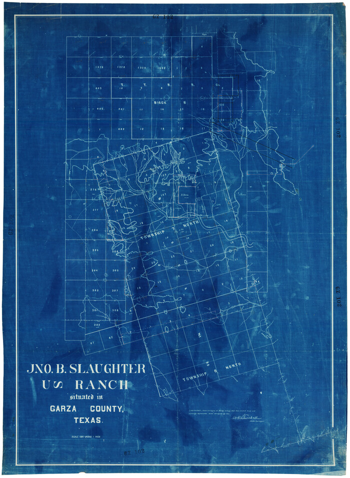
John B. Slaughter Ranch Situated in Garza County, Texas

Print $20.00
- Digital $50.00
John B. Slaughter Ranch Situated in Garza County, Texas
Size 33.2 x 45.1 inches
Map/Doc 92658
[Blocks 5-T, R-2, M-24, and M-23]
![91149, [Blocks 5-T, R-2, M-24, and M-23], Twichell Survey Records](https://historictexasmaps.com/wmedia_w700/maps/91149-1.tif.jpg)
![91149, [Blocks 5-T, R-2, M-24, and M-23], Twichell Survey Records](https://historictexasmaps.com/wmedia_w700/maps/91149-1.tif.jpg)
Print $20.00
- Digital $50.00
[Blocks 5-T, R-2, M-24, and M-23]
Size 15.5 x 19.7 inches
Map/Doc 91149
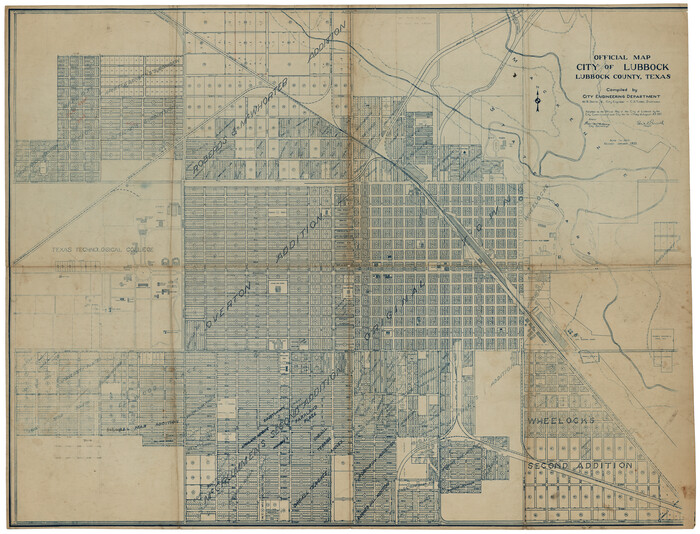
Official Map of City of Lubbock

Print $20.00
- Digital $50.00
Official Map of City of Lubbock
1927
Size 29.3 x 22.7 inches
Map/Doc 92717
[Block M24, Surveys 1-8 and vicinity]
![91231, [Block M24, Surveys 1-8 and vicinity], Twichell Survey Records](https://historictexasmaps.com/wmedia_w700/maps/91231-1.tif.jpg)
![91231, [Block M24, Surveys 1-8 and vicinity], Twichell Survey Records](https://historictexasmaps.com/wmedia_w700/maps/91231-1.tif.jpg)
Print $20.00
- Digital $50.00
[Block M24, Surveys 1-8 and vicinity]
1909
Size 16.4 x 18.2 inches
Map/Doc 91231
Map Showing Lands Surveyed by Sylvan Sanders in Block D, Yoakum County, Texas


Print $20.00
- Digital $50.00
Map Showing Lands Surveyed by Sylvan Sanders in Block D, Yoakum County, Texas
Size 28.6 x 24.4 inches
Map/Doc 92008
You may also like
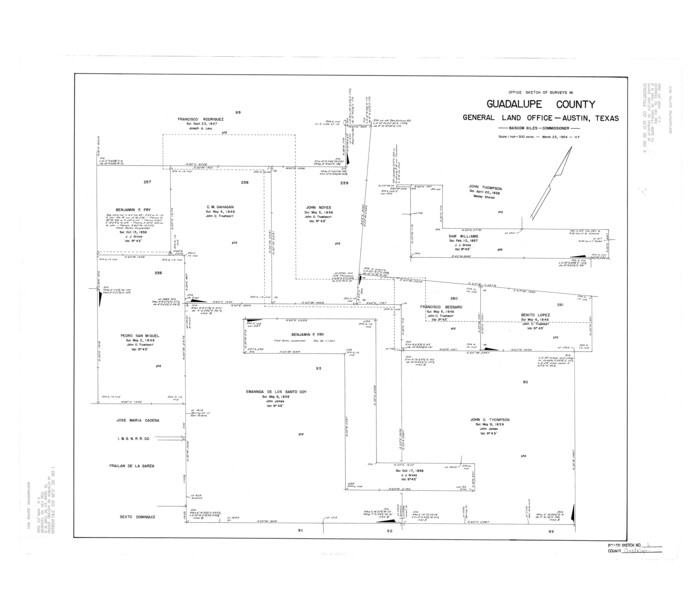
Guadalupe County Rolled Sketch 1

Print $20.00
- Digital $50.00
Guadalupe County Rolled Sketch 1
1954
Size 33.1 x 38.8 inches
Map/Doc 6044
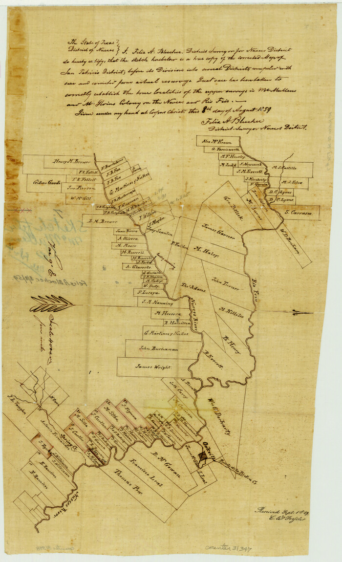
McMullen County Sketch File 7

Print $40.00
- Digital $50.00
McMullen County Sketch File 7
1859
Size 19.1 x 11.6 inches
Map/Doc 31347
The Republic County of Rusk. February 1, 1845
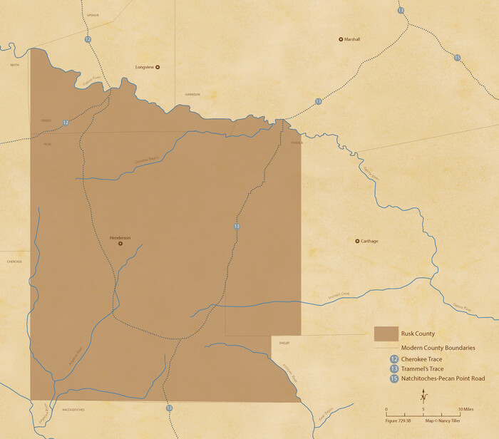

Print $20.00
The Republic County of Rusk. February 1, 1845
2020
Size 19.1 x 21.7 inches
Map/Doc 96267
Presidio de San Antonio de Bejar y Villa de San Fernando
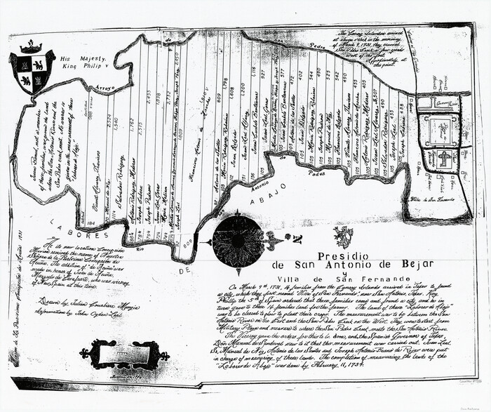

Print $20.00
- Digital $50.00
Presidio de San Antonio de Bejar y Villa de San Fernando
1986
Size 21.8 x 26.0 inches
Map/Doc 87386
Travis County Rolled Sketch 19
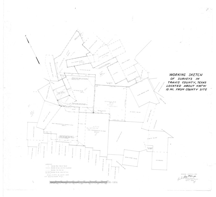

Print $20.00
- Digital $50.00
Travis County Rolled Sketch 19
1940
Size 34.4 x 37.8 inches
Map/Doc 10012
Sterling County Rolled Sketch 23A

Print $131.00
- Digital $50.00
Sterling County Rolled Sketch 23A
Size 10.6 x 15.2 inches
Map/Doc 49032
Aransas County Boundary File 3
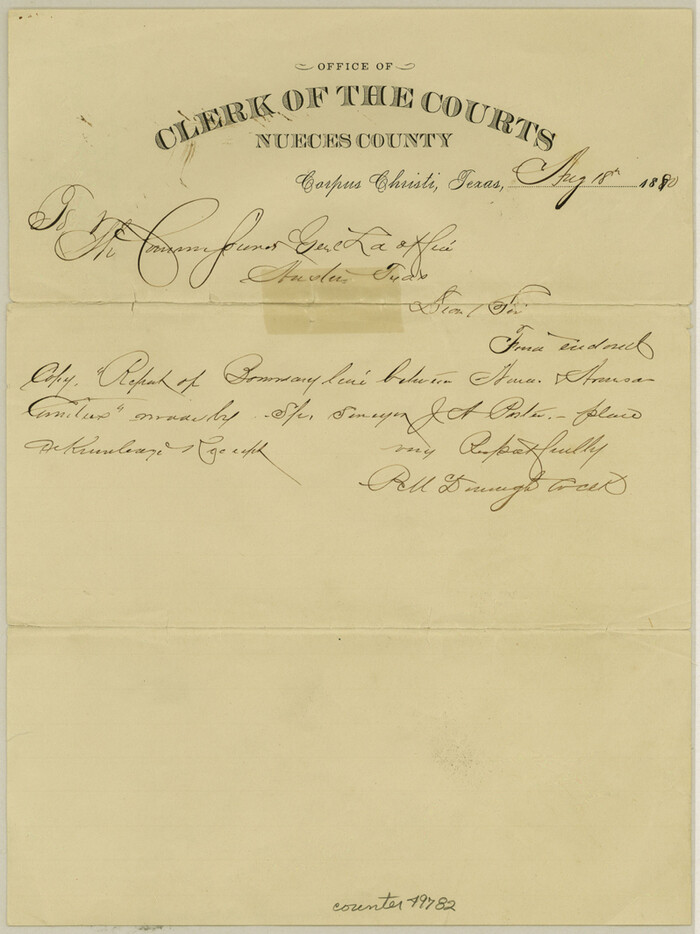

Print $16.00
- Digital $50.00
Aransas County Boundary File 3
Size 10.6 x 8.0 inches
Map/Doc 49782
Angelina County Sketch File 28a


Print $14.00
- Digital $50.00
Angelina County Sketch File 28a
1910
Size 6.8 x 8.7 inches
Map/Doc 13080
Brewster County Sketch File 18
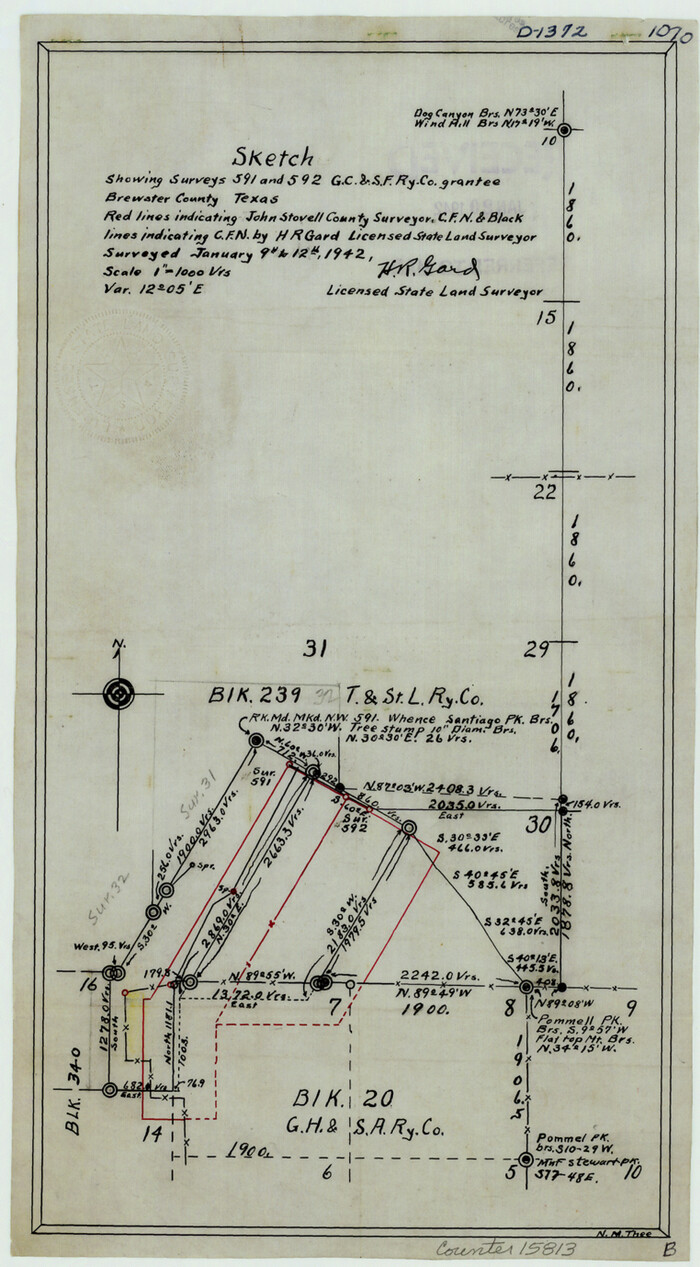

Print $8.00
- Digital $50.00
Brewster County Sketch File 18
1942
Size 13.8 x 7.6 inches
Map/Doc 15813
Frio County Rolled Sketch HM2


Print $20.00
- Digital $50.00
Frio County Rolled Sketch HM2
1935
Size 41.3 x 30.6 inches
Map/Doc 8899
[Floyd County Schoo Land Lgs. 180-183, Fisher County School Land Lgs. 105-108, and part of Blk. V]
![90190, [Floyd County Schoo Land Lgs. 180-183, Fisher County School Land Lgs. 105-108, and part of Blk. V], Twichell Survey Records](https://historictexasmaps.com/wmedia_w700/maps/90190-1.tif.jpg)
![90190, [Floyd County Schoo Land Lgs. 180-183, Fisher County School Land Lgs. 105-108, and part of Blk. V], Twichell Survey Records](https://historictexasmaps.com/wmedia_w700/maps/90190-1.tif.jpg)
Print $2.00
- Digital $50.00
[Floyd County Schoo Land Lgs. 180-183, Fisher County School Land Lgs. 105-108, and part of Blk. V]
Size 8.8 x 10.2 inches
Map/Doc 90190
Sketch, Val Verde County, Part of Blk. D-7 E. L. & R. R. Ry., Survey for Mrs. Geo. Baker, P. Bradford et. al.


Print $20.00
- Digital $50.00
Sketch, Val Verde County, Part of Blk. D-7 E. L. & R. R. Ry., Survey for Mrs. Geo. Baker, P. Bradford et. al.
1937
Size 18.2 x 16.2 inches
Map/Doc 91873
![91583, [Sections 2-5, H. & G. N. Block 12], Twichell Survey Records](https://historictexasmaps.com/wmedia_w1800h1800/maps/91583-1.tif.jpg)