![94275, [Texas and Mexico showing Houston and Texas Central System of Railways], General Map Collection](https://historictexasmaps.com/wmedia_w1800h1800/maps/94275.tif.jpg)
[Texas and Mexico showing Houston and Texas Central System of Railways]
[Verso - information and railroad advertisements]
-
Map/Doc
94275
-
Collection
General Map Collection
-
Object Dates
1885 (Edition Date)
-
People and Organizations
Rand, McNally & Co. (Publisher)
Rand, McNally & Co. (Printer)
-
Subjects
Railroads State of Texas
-
Height x Width
28.9 x 21.7 inches
73.4 x 55.1 cm
-
Medium
paper, etching/engraving/lithograph
-
Comments
See 94274 for maps of Texas, the U.S. and Mexico on recto.
Related maps
Texas and Mexico showing Houston and Texas Central System of Railways

Print $20.00
- Digital $50.00
Texas and Mexico showing Houston and Texas Central System of Railways
Size 29.0 x 21.6 inches
Map/Doc 94274
Part of: General Map Collection
Denton County Sketch File 33a

Print $4.00
- Digital $50.00
Denton County Sketch File 33a
Size 8.0 x 13.1 inches
Map/Doc 20762
Trinity County Working Sketch 4

Print $20.00
- Digital $50.00
Trinity County Working Sketch 4
Size 21.3 x 18.5 inches
Map/Doc 69452
Borden County Working Sketch 13

Print $20.00
- Digital $50.00
Borden County Working Sketch 13
1958
Size 24.1 x 35.6 inches
Map/Doc 67473
No. 2 Chart of Corpus Christi Pass, Texas

Print $20.00
- Digital $50.00
No. 2 Chart of Corpus Christi Pass, Texas
1878
Size 18.3 x 27.4 inches
Map/Doc 73020
Flight Mission No. DIX-10P, Frame 184, Aransas County

Print $20.00
- Digital $50.00
Flight Mission No. DIX-10P, Frame 184, Aransas County
1956
Size 18.5 x 22.2 inches
Map/Doc 83974
Harrison County Working Sketch 12

Print $20.00
- Digital $50.00
Harrison County Working Sketch 12
1960
Size 26.6 x 31.4 inches
Map/Doc 66032
Rains County Sketch File 7

Print $4.00
- Digital $50.00
Rains County Sketch File 7
Size 6.2 x 7.9 inches
Map/Doc 34956
Wilbarger County Working Sketch 19

Print $20.00
- Digital $50.00
Wilbarger County Working Sketch 19
Size 36.6 x 38.3 inches
Map/Doc 72557
Flight Mission No. CRC-2R, Frame 198, Chambers County

Print $20.00
- Digital $50.00
Flight Mission No. CRC-2R, Frame 198, Chambers County
1956
Size 18.7 x 22.4 inches
Map/Doc 84776
Montgomery County Sketch File 28

Print $22.00
- Digital $50.00
Montgomery County Sketch File 28
Size 14.1 x 8.7 inches
Map/Doc 31873
General-karte der Vereinigten Staaten von Nord-Amerika nebst den grosst. Theilen von Canada & Tejas

Print $20.00
- Digital $50.00
General-karte der Vereinigten Staaten von Nord-Amerika nebst den grosst. Theilen von Canada & Tejas
Size 30.3 x 38.9 inches
Map/Doc 96790
Flight Mission No. CLL-1N, Frame 12, Willacy County

Print $20.00
- Digital $50.00
Flight Mission No. CLL-1N, Frame 12, Willacy County
1954
Size 18.4 x 22.1 inches
Map/Doc 86999
You may also like
Medina County Sketch File 2

Print $12.00
- Digital $50.00
Medina County Sketch File 2
Size 7.5 x 12.5 inches
Map/Doc 31439
[Victoria District]
![1945, [Victoria District], General Map Collection](https://historictexasmaps.com/wmedia_w700/maps/1945.tif.jpg)
Print $20.00
- Digital $50.00
[Victoria District]
Size 34.8 x 25.6 inches
Map/Doc 1945
Pecos County Sketch File 82

Print $46.00
- Digital $50.00
Pecos County Sketch File 82
1944
Size 14.2 x 8.8 inches
Map/Doc 33927
McMullen County Sketch File 9

Print $4.00
- Digital $50.00
McMullen County Sketch File 9
1876
Size 14.4 x 8.4 inches
Map/Doc 31351
San Patricio County Working Sketch 16

Print $20.00
- Digital $50.00
San Patricio County Working Sketch 16
Size 41.6 x 32.1 inches
Map/Doc 63778
Morris County Rolled Sketch 2A

Print $20.00
- Digital $50.00
Morris County Rolled Sketch 2A
Size 24.4 x 19.3 inches
Map/Doc 10266
El Paso County Rolled Sketch 52

Print $20.00
- Digital $50.00
El Paso County Rolled Sketch 52
1929
Size 18.4 x 24.4 inches
Map/Doc 5844
Upton County Sketch File 38

Print $8.00
- Digital $50.00
Upton County Sketch File 38
1953
Size 11.1 x 8.9 inches
Map/Doc 38903
Flight Mission No. CRC-3R, Frame 19, Chambers County

Print $20.00
- Digital $50.00
Flight Mission No. CRC-3R, Frame 19, Chambers County
1956
Size 18.5 x 22.1 inches
Map/Doc 84793
Goliad County Working Sketch 17

Print $4.00
- Digital $50.00
Goliad County Working Sketch 17
1949
Size 21.8 x 22.2 inches
Map/Doc 63207
The Texas and Oklahoma Official Railway and Hotel Guide Map

Print $20.00
The Texas and Oklahoma Official Railway and Hotel Guide Map
1906
Size 23.5 x 23.4 inches
Map/Doc 79316
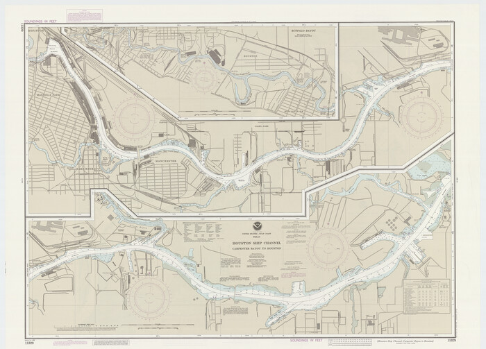
Houston Ship Channel, Alexander Island to Carpenter Bayou
Print $40.00
- Digital $50.00
Houston Ship Channel, Alexander Island to Carpenter Bayou
1989
Size 35.5 x 49.4 inches
Map/Doc 69916