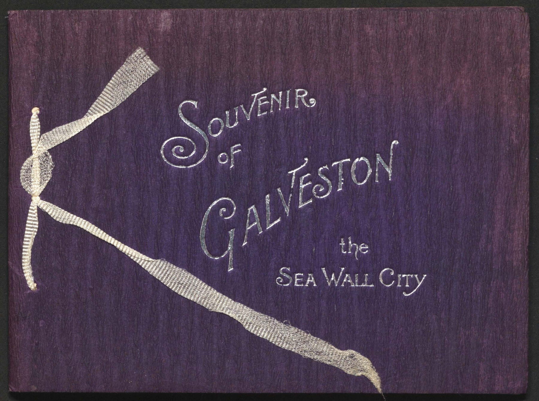
Souvenir of Galveston the Sea Wall City
-
Map/Doc
97051
-
Collection
Cobb Digital Map Collection
-
People and Organizations
Charles Daferner (Publisher)
-
Subjects
City Coastal
-
Height x Width
5.7 x 7.6 inches
14.5 x 19.3 cm
-
Medium
booklet
-
Comments
Courtesy of John & Diana Cobb.
Part of: Cobb Digital Map Collection
Geographically Correct Map of United States showing the Union Pacific System - Union Pacific R.R. Co., Oregon Short Line R.R. Co., Oregon-Washington R.R. & Nav. Co., Los Angeles & Salt Lake R.R. Co., St. Joseph & Grand Island Ry. Co. and connections

Print $20.00
- Digital $50.00
Geographically Correct Map of United States showing the Union Pacific System - Union Pacific R.R. Co., Oregon Short Line R.R. Co., Oregon-Washington R.R. & Nav. Co., Los Angeles & Salt Lake R.R. Co., St. Joseph & Grand Island Ry. Co. and connections
1922
Size 18.2 x 32.2 inches
Map/Doc 95771

![[San Benito Promotional Booklet]](https://historictexasmaps.com/wmedia_w700/pdf_converted_jpg/qi_pdf_thumbnail_64211.jpg)
Sanderson and Terrell County, Texas

Sanderson and Terrell County, Texas
1920
Size 6.3 x 3.5 inches
Map/Doc 97073
Map of Texas with population and location of principal towns and cities, according to latest reliable statistics

Print $20.00
- Digital $50.00
Map of Texas with population and location of principal towns and cities, according to latest reliable statistics
1906
Size 19.0 x 20.7 inches
Map/Doc 95867
Southern Homes in Southern Texas, The Celebrated Coast Country

Southern Homes in Southern Texas, The Celebrated Coast Country
1899
Size 6.2 x 3.7 inches
Map/Doc 97050
San Antonio - Places of Interest and how to get there

San Antonio - Places of Interest and how to get there
1920
Map/Doc 96785
I. & G. N. - International and Great Northern R.R. - International Route - Galveston, Ft. Worth, Waco, Houston, Austin, Laredo, San Antonio

Print $20.00
- Digital $50.00
I. & G. N. - International and Great Northern R.R. - International Route - Galveston, Ft. Worth, Waco, Houston, Austin, Laredo, San Antonio
1905
Size 23.5 x 15.8 inches
Map/Doc 95778
Victoria, Texas: The City of Roses

Victoria, Texas: The City of Roses
1910
Size 3.6 x 4.8 inches
Map/Doc 97056

[Map of Kentucky and Tennessee]
![96623, [Map of Kentucky and Tennessee], Cobb Digital Map Collection](https://historictexasmaps.com/wmedia_w700/maps/96623.tif.jpg)
Print $20.00
- Digital $50.00
[Map of Kentucky and Tennessee]
1869
Size 8.9 x 9.5 inches
Map/Doc 96623
Map showing Alamo-Donna Farms, Irrigated Section in Hidalgo County, Texas

Print $20.00
- Digital $50.00
Map showing Alamo-Donna Farms, Irrigated Section in Hidalgo County, Texas
1920
Size 27.5 x 13.3 inches
Map/Doc 95803
You may also like
Runnels County Working Sketch 16

Print $20.00
- Digital $50.00
Runnels County Working Sketch 16
1950
Size 30.1 x 35.5 inches
Map/Doc 63612
Lebanon Quadrangle

Print $20.00
- Digital $50.00
Lebanon Quadrangle
1999
Size 35.4 x 23.4 inches
Map/Doc 97360
Newton County Sketch File 38

Print $6.00
- Digital $50.00
Newton County Sketch File 38
Size 16.1 x 11.0 inches
Map/Doc 32417
[Corner of Crosby, Lubbock, Lynn and Garza Counties]
![90905, [Corner of Crosby, Lubbock, Lynn and Garza Counties], Twichell Survey Records](https://historictexasmaps.com/wmedia_w700/maps/90905-1.tif.jpg)
Print $20.00
- Digital $50.00
[Corner of Crosby, Lubbock, Lynn and Garza Counties]
Size 36.0 x 22.8 inches
Map/Doc 90905
Flight Mission No. DQN-2K, Frame 81, Calhoun County

Print $20.00
- Digital $50.00
Flight Mission No. DQN-2K, Frame 81, Calhoun County
1953
Size 18.7 x 22.3 inches
Map/Doc 84273
Amistad International Reservoir on Rio Grande 90

Print $20.00
- Digital $50.00
Amistad International Reservoir on Rio Grande 90
1950
Size 28.5 x 39.7 inches
Map/Doc 75520
Johnson's Texas

Print $20.00
- Digital $50.00
Johnson's Texas
1866
Size 18.4 x 27.2 inches
Map/Doc 89279
Stonewall County

Print $20.00
- Digital $50.00
Stonewall County
1889
Size 26.2 x 21.9 inches
Map/Doc 4060
North Sulphur River, Sims Crossing Sheet

Print $20.00
- Digital $50.00
North Sulphur River, Sims Crossing Sheet
1924
Size 23.4 x 39.9 inches
Map/Doc 65167
Terrell County Sketch File 10

Print $44.00
- Digital $50.00
Terrell County Sketch File 10
1902
Size 9.7 x 4.6 inches
Map/Doc 37910
Flight Mission No. CGI-4N, Frame 175, Cameron County

Print $20.00
- Digital $50.00
Flight Mission No. CGI-4N, Frame 175, Cameron County
1955
Size 18.6 x 22.4 inches
Map/Doc 84678
Jeff Davis Co.

Print $20.00
- Digital $50.00
Jeff Davis Co.
1887
Size 37.5 x 47.9 inches
Map/Doc 4991