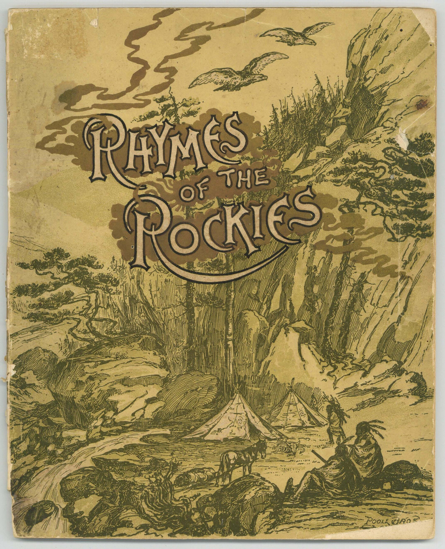
Rhymes of the Rockies
What the Poets Have Found to Say of the Beautiful Scenery on the Denver & Rio Grande Railroad, the Scenic Line of the World
-
Map/Doc
97074
-
Collection
Cobb Digital Map Collection
-
Object Dates
1887 (Creation Date)
-
People and Organizations
Poole Bros. (Printer)
-
Subjects
Railroads
-
Height x Width
8.8 x 7.2 inches
22.4 x 18.3 cm
-
Medium
booklet
-
Comments
Courtesy of John & Diana Cobb.
Part of: Cobb Digital Map Collection

Arlancy the Land of Plenty Farms

Print $20.00
- Digital $50.00
Arlancy the Land of Plenty Farms
1925
Size 10.9 x 16.6 inches
Map/Doc 96737
The Brownsville District of the Famous Lower Rio Grande Valley - The Texas Tropics

The Brownsville District of the Famous Lower Rio Grande Valley - The Texas Tropics
1920
Map/Doc 96732
Through Storyland to Sunset Seas

Through Storyland to Sunset Seas
1895
Size 8.9 x 6.7 inches
Map/Doc 96606
Map of Texas to accompany Granger's Southern and Western Texas Guide

Print $20.00
- Digital $50.00
Map of Texas to accompany Granger's Southern and Western Texas Guide
1878
Size 26.7 x 20.8 inches
Map/Doc 96612
The Northern Pacific Railroad and Connections

Print $20.00
- Digital $50.00
The Northern Pacific Railroad and Connections
1892
Size 23.1 x 35.7 inches
Map/Doc 96583
Capitol Land and Investment Company's List of Texas Lands

Capitol Land and Investment Company's List of Texas Lands
1907
Size 7.9 x 5.2 inches
Map/Doc 97052
Map of Texas with population and location of principal towns and cities according to latest reliable statistics

Print $20.00
- Digital $50.00
Map of Texas with population and location of principal towns and cities according to latest reliable statistics
1910
Size 19.1 x 20.6 inches
Map/Doc 95878
Map showing Alamo-Donna Farms, Irrigated Section in Hidalgo County, Texas

Print $20.00
- Digital $50.00
Map showing Alamo-Donna Farms, Irrigated Section in Hidalgo County, Texas
1920
Size 27.5 x 13.3 inches
Map/Doc 95803
Map of the United States of America for Goddard's "Where to Emigrate and Why"

Print $20.00
- Digital $50.00
Map of the United States of America for Goddard's "Where to Emigrate and Why"
1869
Size 12.4 x 18.8 inches
Map/Doc 96619
[Map of Santa Fe Route - Atchison, Topeka, and Santa Fe Railroad]
![95866, [Map of Santa Fe Route - Atchison, Topeka, and Santa Fe Railroad], Cobb Digital Map Collection - 1](https://historictexasmaps.com/wmedia_w700/maps/95866.tif.jpg)
Print $40.00
- Digital $50.00
[Map of Santa Fe Route - Atchison, Topeka, and Santa Fe Railroad]
1893
Size 17.4 x 50.0 inches
Map/Doc 95866
Map of the Great Air Line Route, Ohio & Mississippi Railway and connections

Print $20.00
- Digital $50.00
Map of the Great Air Line Route, Ohio & Mississippi Railway and connections
1878
Size 12.8 x 26.4 inches
Map/Doc 95820
You may also like
Tarrant County

Print $20.00
- Digital $50.00
Tarrant County
1942
Size 46.7 x 38.0 inches
Map/Doc 63057
La Salle County Working Sketch 15

Print $20.00
- Digital $50.00
La Salle County Working Sketch 15
1935
Size 27.4 x 17.2 inches
Map/Doc 70316
Calhoun County Aerial Photograph Index Sheet 5

Print $20.00
- Digital $50.00
Calhoun County Aerial Photograph Index Sheet 5
1953
Size 24.0 x 19.5 inches
Map/Doc 83673
Galveston County Sketch File 5a

Print $4.00
- Digital $50.00
Galveston County Sketch File 5a
1847
Size 12.6 x 8.2 inches
Map/Doc 23360
San Jacinto County Sketch File 23

Print $26.00
San Jacinto County Sketch File 23
1993
Size 14.6 x 8.8 inches
Map/Doc 35803
Crockett County Rolled Sketch 65

Print $20.00
- Digital $50.00
Crockett County Rolled Sketch 65
1948
Size 13.4 x 27.5 inches
Map/Doc 5608
La Salle County Working Sketch 18

Print $20.00
- Digital $50.00
La Salle County Working Sketch 18
1940
Size 42.5 x 43.3 inches
Map/Doc 70319
Flight Mission No. CRC-3R, Frame 33, Chambers County

Print $20.00
- Digital $50.00
Flight Mission No. CRC-3R, Frame 33, Chambers County
1956
Size 18.6 x 22.4 inches
Map/Doc 84806
Galveston County Rolled Sketch 7

Print $20.00
- Digital $50.00
Galveston County Rolled Sketch 7
1897
Size 16.0 x 28.4 inches
Map/Doc 5950
[San Antonio & Aransas Pass Railway Co.]
![64261, [San Antonio & Aransas Pass Railway Co.], General Map Collection](https://historictexasmaps.com/wmedia_w700/maps/64261.tif.jpg)
Print $20.00
- Digital $50.00
[San Antonio & Aransas Pass Railway Co.]
Size 22.9 x 35.1 inches
Map/Doc 64261
Brewster County Working Sketch 77

Print $20.00
- Digital $50.00
Brewster County Working Sketch 77
1968
Size 25.0 x 20.9 inches
Map/Doc 67677
Nueces County Rolled Sketch 68

Print $20.00
- Digital $50.00
Nueces County Rolled Sketch 68
1980
Size 19.9 x 25.4 inches
Map/Doc 6919