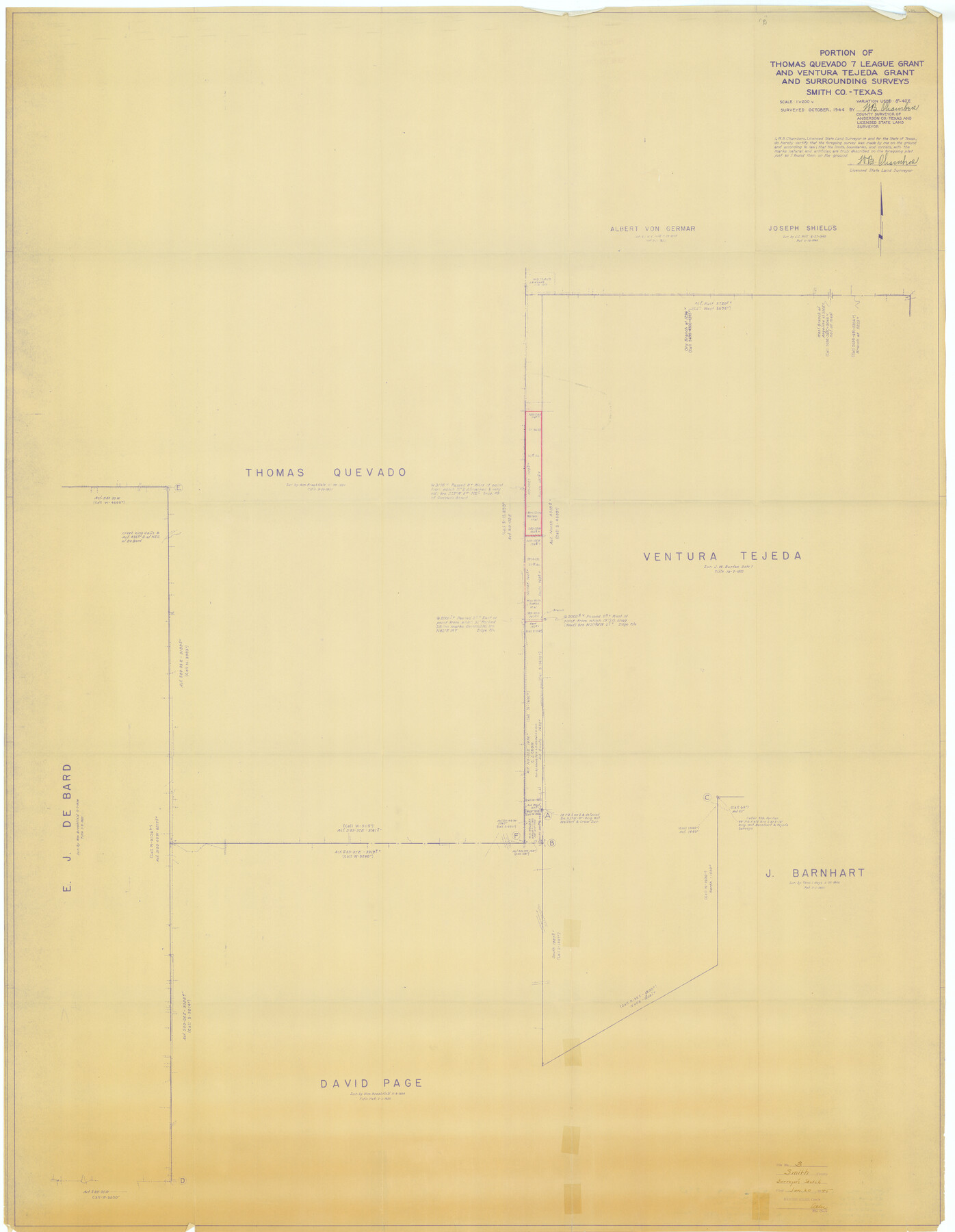
Smith County Rolled Sketch 3
Portion of Thomas Quevado 7 league grant and Ventura Tejeda grant and surrounding surveys, Smith Co., Texas
-
Map/Doc
9934
-
Collection
General Map Collection
-
Object Dates
1944 (Survey Date)
1945/1/20 (File Date)
-
People and Organizations
W.B. Chambers (Surveyor/Engineer)
-
Counties
Smith
-
Subjects
Surveying Rolled Sketch
-
Height x Width
55.2 x 42.8 inches
140.2 x 108.7 cm
-
Medium
blueprint/diazo
-
Scale
1" = 200 varas
Part of: General Map Collection
[Map of Denton County]
![4529, [Map of Denton County], General Map Collection](https://historictexasmaps.com/wmedia_w700/maps/4529-1.tif.jpg)
Print $20.00
- Digital $50.00
[Map of Denton County]
1853
Size 24.5 x 29.1 inches
Map/Doc 4529
Motley County Working Sketch 8

Print $20.00
- Digital $50.00
Motley County Working Sketch 8
1983
Size 32.1 x 30.6 inches
Map/Doc 71213
Frio County Rolled Sketch 15

Print $20.00
- Digital $50.00
Frio County Rolled Sketch 15
1949
Size 26.1 x 39.0 inches
Map/Doc 5922
Brewster County Working Sketch 118

Print $20.00
- Digital $50.00
Brewster County Working Sketch 118
1929
Size 27.0 x 20.5 inches
Map/Doc 67718
Dallas County Working Sketch 7

Print $20.00
- Digital $50.00
Dallas County Working Sketch 7
1952
Size 17.3 x 23.5 inches
Map/Doc 68573
Nueces County NRC Article 33.136 Sketch 13

Print $24.00
- Digital $50.00
Nueces County NRC Article 33.136 Sketch 13
2007
Size 22.3 x 34.3 inches
Map/Doc 88809
San Augustine County Working Sketch Graphic Index

Print $20.00
- Digital $50.00
San Augustine County Working Sketch Graphic Index
1949
Size 47.4 x 29.6 inches
Map/Doc 76690
Tyler County Sketch File 25

Print $28.00
- Digital $50.00
Tyler County Sketch File 25
1953
Size 14.5 x 9.0 inches
Map/Doc 38689
Houston County Rolled Sketch 12

Print $20.00
- Digital $50.00
Houston County Rolled Sketch 12
Size 11.8 x 18.1 inches
Map/Doc 95396
Corpus Christi Bay, Texas

Print $40.00
- Digital $50.00
Corpus Christi Bay, Texas
1867
Size 33.0 x 48.7 inches
Map/Doc 73467
Flight Mission No. CRK-8P, Frame 121, Refugio County

Print $20.00
- Digital $50.00
Flight Mission No. CRK-8P, Frame 121, Refugio County
1956
Size 18.3 x 22.2 inches
Map/Doc 86976
Hemphill County Rolled Sketch 13

Print $20.00
- Digital $50.00
Hemphill County Rolled Sketch 13
1905
Size 20.7 x 28.9 inches
Map/Doc 6193
You may also like
Cherokee County Working Sketch 25

Print $20.00
- Digital $50.00
Cherokee County Working Sketch 25
1972
Size 25.1 x 45.5 inches
Map/Doc 67980
[Ector County Line Descriptions]
![92636, [Ector County Line Descriptions], Twichell Survey Records](https://historictexasmaps.com/wmedia_w700/maps/92636-1.tif.jpg)
Print $20.00
- Digital $50.00
[Ector County Line Descriptions]
Size 37.2 x 44.2 inches
Map/Doc 92636
Map of the City of Galveston Situated on the East end of Galveston Island

Print $20.00
- Digital $50.00
Map of the City of Galveston Situated on the East end of Galveston Island
1838
Size 22.0 x 38.1 inches
Map/Doc 2170
Crockett County, Texas

Print $20.00
- Digital $50.00
Crockett County, Texas
Size 24.7 x 19.5 inches
Map/Doc 90316
Pecos County Rolled Sketch 57

Print $20.00
- Digital $50.00
Pecos County Rolled Sketch 57
1917
Size 24.8 x 35.6 inches
Map/Doc 7230
City of Lamesa, Texas

Print $40.00
- Digital $50.00
City of Lamesa, Texas
Size 52.2 x 43.2 inches
Map/Doc 89855
Refugio County Working Sketch 13

Print $20.00
- Digital $50.00
Refugio County Working Sketch 13
1961
Size 23.8 x 29.8 inches
Map/Doc 63522
[Sketch for Mineral Application 27669 - Trinity River, Frank R. Graves]
![2856, [Sketch for Mineral Application 27669 - Trinity River, Frank R. Graves], General Map Collection](https://historictexasmaps.com/wmedia_w700/maps/2856-1.tif.jpg)
Print $20.00
- Digital $50.00
[Sketch for Mineral Application 27669 - Trinity River, Frank R. Graves]
1934
Size 24.9 x 36.0 inches
Map/Doc 2856
Flight Mission No. CRC-4R, Frame 97, Chambers County

Print $20.00
- Digital $50.00
Flight Mission No. CRC-4R, Frame 97, Chambers County
1956
Size 18.6 x 22.2 inches
Map/Doc 84894
Comanche County Working Sketch 31

Print $20.00
- Digital $50.00
Comanche County Working Sketch 31
1991
Size 28.4 x 24.2 inches
Map/Doc 68165
Intracoastal Waterway in Texas - Corpus Christi to Point Isabel including Arroyo Colorado to Mo. Pac. R.R. Bridge Near Harlingen

Print $20.00
- Digital $50.00
Intracoastal Waterway in Texas - Corpus Christi to Point Isabel including Arroyo Colorado to Mo. Pac. R.R. Bridge Near Harlingen
1934
Size 22.0 x 32.7 inches
Map/Doc 61884
Connected Map of Austin's Colony

Print $20.00
- Digital $50.00
Connected Map of Austin's Colony
1892
Size 47.1 x 42.8 inches
Map/Doc 76073