"Iron Mountain Route" to all parts of Texas - I. & G. N., T. & P., Iron Mountain - "The Way to Texas"
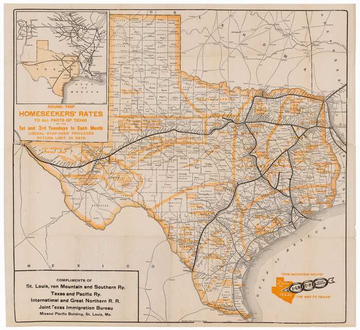

Print $20.00
- Digital $50.00
"Iron Mountain Route" to all parts of Texas - I. & G. N., T. & P., Iron Mountain - "The Way to Texas"
1909
Size: 22.0 x 24.0 inches
95792
"Iron Mountain Route" to all parts of Texas - I. & G. N., T. & P., Iron Mountain - "The Way to Texas"


Print $20.00
- Digital $50.00
"Iron Mountain Route" to all parts of Texas - I. & G. N., T. & P., Iron Mountain - "The Way to Texas"
1909
Size: 21.8 x 24.0 inches
95793
A Camera Journey through the Lower Valley of the Rio Grande - the Garden of Golden Grapefruit


A Camera Journey through the Lower Valley of the Rio Grande - the Garden of Golden Grapefruit
1929
96744
A Few Things About Rice as grown along the line of the Sunset Route in Louisiana and Texas
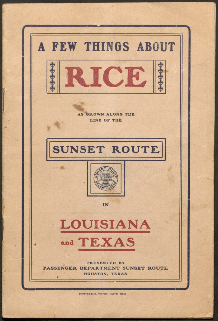

A Few Things About Rice as grown along the line of the Sunset Route in Louisiana and Texas
1904
96724
A Few Things About Rice as grown on line of Southern Pacific in Texas and Louisiana
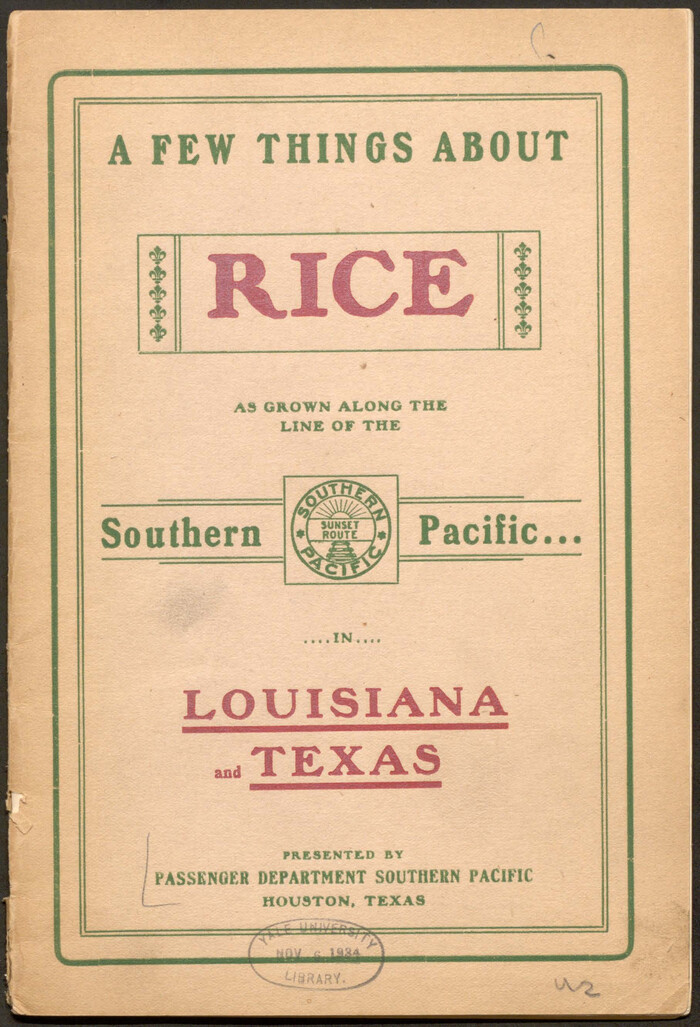

A Few Things About Rice as grown on line of Southern Pacific in Texas and Louisiana
1904
96723
A Fourteen Day Trip for $99.50 through the Great Southwest and the Gulf Coast Country of Texas
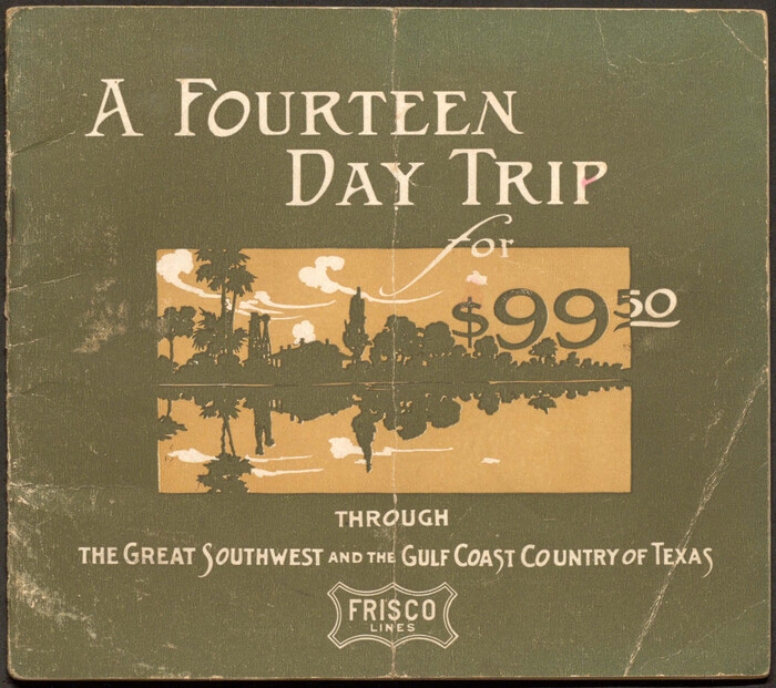

A Fourteen Day Trip for $99.50 through the Great Southwest and the Gulf Coast Country of Texas
1912
96772
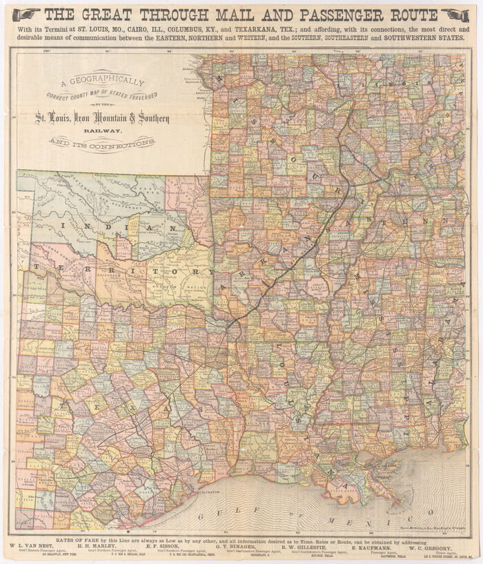
A Geographically Correct County Map of States Traversed by the St. Louis, Iron Mountain & Southern Railway and its Connections

Print $20.00
- Digital $50.00
A Geographically Correct County Map of States Traversed by the St. Louis, Iron Mountain & Southern Railway and its Connections
1876
Size: 18.6 x 15.9 inches
95781
A Geographically Correct County Map of States Traversed by the St. Louis, Iron Mountain & Southern Railway and its Connections


Print $20.00
- Digital $50.00
A Geographically Correct County Map of States Traversed by the St. Louis, Iron Mountain & Southern Railway and its Connections
1877
Size: 18.5 x 16.1 inches
95782
A Geographically Correct County Map of States Traversed by the St. Louis, Iron Mountain and Southern Railway and its connections


Print $20.00
- Digital $50.00
A Geographically Correct County Map of States Traversed by the St. Louis, Iron Mountain and Southern Railway and its connections
1878
Size: 16.9 x 27.0 inches
95785
A Geographically Correct Map of the State of Texas


Print $20.00
- Digital $50.00
A Geographically Correct Map of the State of Texas
1878
Size: 19.5 x 21.0 inches
95757
A Little Journey through the Lower Valley of the Rio Grande - The Magic Valley of Texas


A Little Journey through the Lower Valley of the Rio Grande - The Magic Valley of Texas
1928
96741
A Little Journey through the Lower Valley of the Rio Grande - The Magic Valley of Texas

A Little Journey through the Lower Valley of the Rio Grande - The Magic Valley of Texas
1929
96742
A New and Correct County Map of the State of Texas


Print $20.00
- Digital $50.00
A New and Correct County Map of the State of Texas
1891
Size: 22.4 x 27.3 inches
95760
A Splendid Endorsement of the Red River Valley Lands in the Famous Red River Valley of North Texas


Print $20.00
- Digital $50.00
A Splendid Endorsement of the Red River Valley Lands in the Famous Red River Valley of North Texas
1901
Size: 10.2 x 12.7 inches
96601
A Trip to Winter Garden District, Carrizo Springs, Texas in the Shallow Water Area of the Famous Artesian Belt


Print $20.00
- Digital $50.00
A Trip to Winter Garden District, Carrizo Springs, Texas in the Shallow Water Area of the Famous Artesian Belt
1920
Size: 8.9 x 15.5 inches
96766
Along the Sunset Route, Southern Pacific Lines - Texas and Louisiana


Along the Sunset Route, Southern Pacific Lines - Texas and Louisiana
1947
96720
Appletons' Railway Map of the Southern States, to accompany Appletons' Hand-book of American Travel, Southern Tour


Print $20.00
- Digital $50.00
Appletons' Railway Map of the Southern States, to accompany Appletons' Hand-book of American Travel, Southern Tour
1887
Size: 15.6 x 24.3 inches
95904
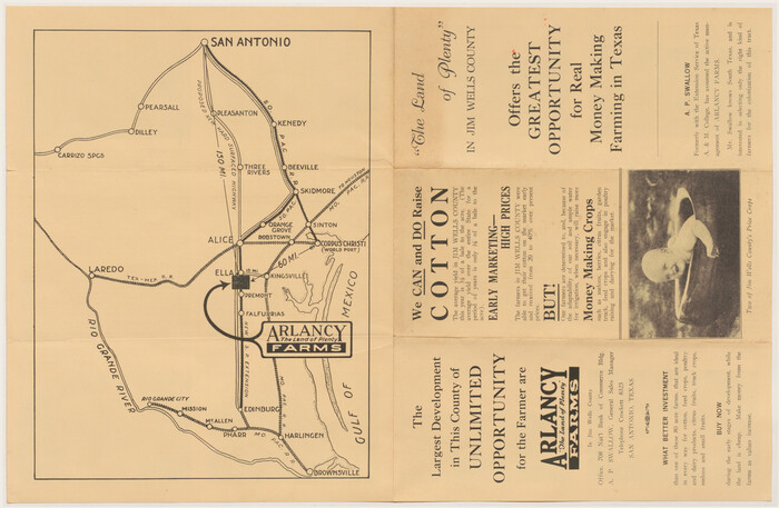
Arlancy the Land of Plenty Farms

Print $20.00
- Digital $50.00
Arlancy the Land of Plenty Farms
1925
Size: 10.9 x 16.6 inches
96737
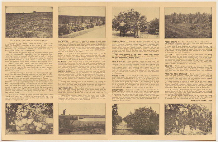
Arlancy the Land of Plenty Farms

Print $20.00
- Digital $50.00
Arlancy the Land of Plenty Farms
1925
Size: 10.8 x 16.6 inches
96738
Buffalo Bayou and the Houston Ship Channel 1820-1926


Buffalo Bayou and the Houston Ship Channel 1820-1926
1926
Size: 6.2 x 9.1 inches
97071
Capitol Land and Investment Company's List of Texas Lands
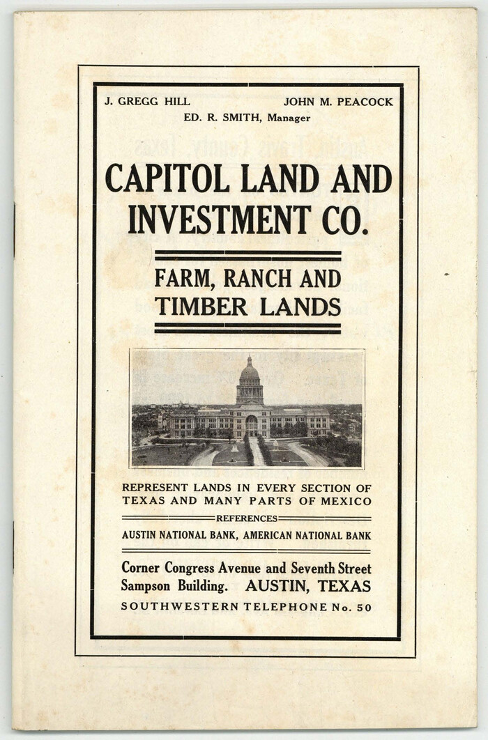

Capitol Land and Investment Company's List of Texas Lands
1907
Size: 7.9 x 5.2 inches
97052
Catalogue of Maps, Charts, Atlases, Globes, etc.
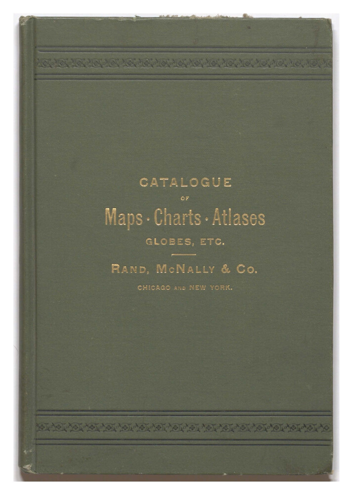

Catalogue of Maps, Charts, Atlases, Globes, etc.
1891
Size: 9.2 x 6.5 inches
95841
Clason's Guide Map of Texas


Print $20.00
- Digital $50.00
Clason's Guide Map of Texas
1920
Size: 20.6 x 22.5 inches
95896
Colonists' and Emigrants' Route to Texas
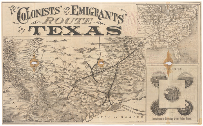

Print $20.00
- Digital $50.00
Colonists' and Emigrants' Route to Texas
1878
Size: 14.8 x 23.7 inches
95777
Comment on Illustrations [SMS Ranch Booklet]
![96594, Comment on Illustrations [SMS Ranch Booklet], Cobb Digital Map Collection](https://historictexasmaps.com/wmedia_w700/pdf_converted_jpg/qi_pdf_thumbnail_40597.jpg)
![96594, Comment on Illustrations [SMS Ranch Booklet], Cobb Digital Map Collection](https://historictexasmaps.com/wmedia_w700/pdf_converted_jpg/qi_pdf_thumbnail_40597.jpg)
Comment on Illustrations [SMS Ranch Booklet]
1916
Size: 6.1 x 9.2 inches
96594
Competing Transportation Lines between Boston, New York, Philadelphia, Baltimore, and the South Atlantic and Gulf States


Print $20.00
- Digital $50.00
Competing Transportation Lines between Boston, New York, Philadelphia, Baltimore, and the South Atlantic and Gulf States
1881
Size: 15.1 x 17.8 inches
95907
Corpus Christi, Where Texas Meets the Sea
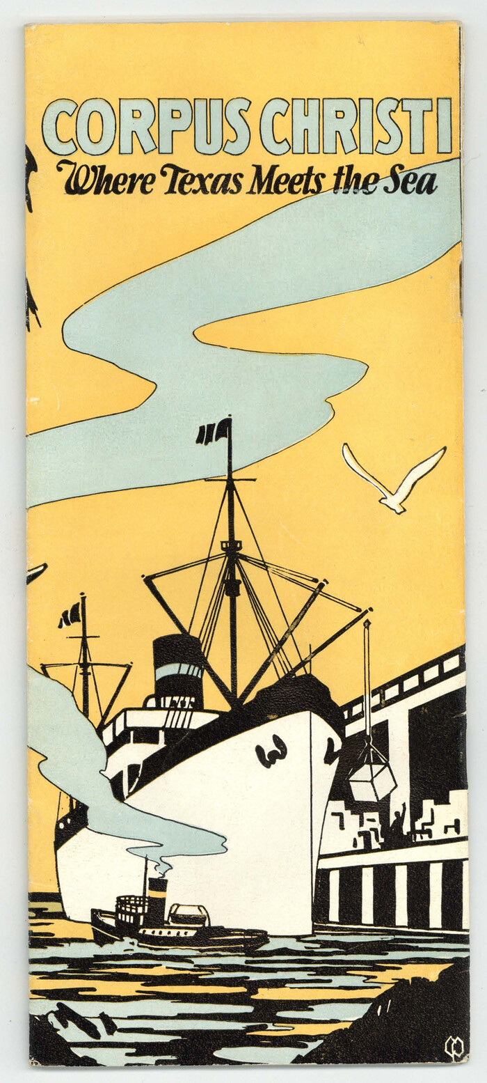

Corpus Christi, Where Texas Meets the Sea
1927
Size: 9.6 x 4.3 inches
97064
Corpus Christi, Where Texas Meets the Sea


Corpus Christi, Where Texas Meets the Sea
1928
Size: 9.7 x 6.9 inches
97065
"Iron Mountain Route" to all parts of Texas - I. & G. N., T. & P., Iron Mountain - "The Way to Texas"


Print $20.00
- Digital $50.00
"Iron Mountain Route" to all parts of Texas - I. & G. N., T. & P., Iron Mountain - "The Way to Texas"
1909
-
Size
22.0 x 24.0 inches
-
Map/Doc
95792
-
Creation Date
1909
"Iron Mountain Route" to all parts of Texas - I. & G. N., T. & P., Iron Mountain - "The Way to Texas"


Print $20.00
- Digital $50.00
"Iron Mountain Route" to all parts of Texas - I. & G. N., T. & P., Iron Mountain - "The Way to Texas"
1909
-
Size
21.8 x 24.0 inches
-
Map/Doc
95793
-
Creation Date
1909
"Land of Hearts Delight"


Print $30.00
"Land of Hearts Delight"
1920
-
Map/Doc
96731
-
Creation Date
1920
A Camera Journey through the Lower Valley of the Rio Grande - the Garden of Golden Grapefruit


Print $54.00
A Camera Journey through the Lower Valley of the Rio Grande - the Garden of Golden Grapefruit
1929
-
Map/Doc
96744
-
Creation Date
1929
A Few Things About Rice as grown along the line of the Sunset Route in Louisiana and Texas


Print $30.00
A Few Things About Rice as grown along the line of the Sunset Route in Louisiana and Texas
1904
-
Map/Doc
96724
-
Creation Date
1904
A Few Things About Rice as grown on line of Southern Pacific in Texas and Louisiana


Print $34.00
A Few Things About Rice as grown on line of Southern Pacific in Texas and Louisiana
1904
-
Map/Doc
96723
-
Creation Date
1904
A Fourteen Day Trip for $99.50 through the Great Southwest and the Gulf Coast Country of Texas


Print $30.00
A Fourteen Day Trip for $99.50 through the Great Southwest and the Gulf Coast Country of Texas
1912
-
Map/Doc
96772
-
Creation Date
1912
A Geographically Correct County Map of States Traversed by the St. Louis, Iron Mountain & Southern Railway and its Connections


Print $20.00
- Digital $50.00
A Geographically Correct County Map of States Traversed by the St. Louis, Iron Mountain & Southern Railway and its Connections
1876
-
Size
18.6 x 15.9 inches
-
Map/Doc
95781
-
Creation Date
1876
A Geographically Correct County Map of States Traversed by the St. Louis, Iron Mountain & Southern Railway and its Connections


Print $20.00
- Digital $50.00
A Geographically Correct County Map of States Traversed by the St. Louis, Iron Mountain & Southern Railway and its Connections
1877
-
Size
18.5 x 16.1 inches
-
Map/Doc
95782
-
Creation Date
1877
A Geographically Correct County Map of States Traversed by the St. Louis, Iron Mountain and Southern Railway and its connections


Print $20.00
- Digital $50.00
A Geographically Correct County Map of States Traversed by the St. Louis, Iron Mountain and Southern Railway and its connections
1878
-
Size
16.9 x 27.0 inches
-
Map/Doc
95785
-
Creation Date
1878
A Geographically Correct Map of the State of Texas


Print $20.00
- Digital $50.00
A Geographically Correct Map of the State of Texas
1878
-
Size
19.5 x 21.0 inches
-
Map/Doc
95757
-
Creation Date
1878
A Little Journey through the Lower Valley of the Rio Grande - The Magic Valley of Texas


Print $62.00
A Little Journey through the Lower Valley of the Rio Grande - The Magic Valley of Texas
1928
-
Map/Doc
96741
-
Creation Date
1928
A Little Journey through the Lower Valley of the Rio Grande - The Magic Valley of Texas


Print $70.00
A Little Journey through the Lower Valley of the Rio Grande - The Magic Valley of Texas
1929
-
Map/Doc
96742
-
Creation Date
1929
A New and Correct County Map of the State of Texas


Print $20.00
- Digital $50.00
A New and Correct County Map of the State of Texas
1891
-
Size
22.4 x 27.3 inches
-
Map/Doc
95760
-
Creation Date
1891
A Splendid Endorsement of the Red River Valley Lands in the Famous Red River Valley of North Texas


Print $20.00
- Digital $50.00
A Splendid Endorsement of the Red River Valley Lands in the Famous Red River Valley of North Texas
1901
-
Size
10.2 x 12.7 inches
-
Map/Doc
96601
-
Creation Date
1901
A Trip to Winter Garden District, Carrizo Springs, Texas in the Shallow Water Area of the Famous Artesian Belt


Print $20.00
- Digital $50.00
A Trip to Winter Garden District, Carrizo Springs, Texas in the Shallow Water Area of the Famous Artesian Belt
1920
-
Size
8.9 x 15.5 inches
-
Map/Doc
96766
-
Creation Date
1920
Along the Sunset Route, Southern Pacific Lines - Texas and Louisiana


Print $52.00
Along the Sunset Route, Southern Pacific Lines - Texas and Louisiana
1947
-
Map/Doc
96720
-
Creation Date
1947
Appletons' Railway Map of the Southern States, to accompany Appletons' Hand-book of American Travel, Southern Tour


Print $20.00
- Digital $50.00
Appletons' Railway Map of the Southern States, to accompany Appletons' Hand-book of American Travel, Southern Tour
1887
-
Size
15.6 x 24.3 inches
-
Map/Doc
95904
-
Creation Date
1887
Arlancy the Land of Plenty Farms


Print $20.00
- Digital $50.00
Arlancy the Land of Plenty Farms
1925
-
Size
10.9 x 16.6 inches
-
Map/Doc
96737
-
Creation Date
1925
Arlancy the Land of Plenty Farms


Print $20.00
- Digital $50.00
Arlancy the Land of Plenty Farms
1925
-
Size
10.8 x 16.6 inches
-
Map/Doc
96738
-
Creation Date
1925
Buffalo Bayou and the Houston Ship Channel 1820-1926


Buffalo Bayou and the Houston Ship Channel 1820-1926
1926
-
Size
6.2 x 9.1 inches
-
Map/Doc
97071
-
Creation Date
1926
Capitol Land and Investment Company's List of Texas Lands


Capitol Land and Investment Company's List of Texas Lands
1907
-
Size
7.9 x 5.2 inches
-
Map/Doc
97052
-
Creation Date
1907
Catalogue of Maps, Charts, Atlases, Globes, etc.


Catalogue of Maps, Charts, Atlases, Globes, etc.
1891
-
Size
9.2 x 6.5 inches
-
Map/Doc
95841
-
Creation Date
1891
Clason's Guide Map of Texas


Print $20.00
- Digital $50.00
Clason's Guide Map of Texas
1920
-
Size
20.6 x 22.5 inches
-
Map/Doc
95896
-
Creation Date
1920
Colonists' and Emigrants' Route to Texas


Print $20.00
- Digital $50.00
Colonists' and Emigrants' Route to Texas
1878
-
Size
14.8 x 23.7 inches
-
Map/Doc
95777
-
Creation Date
1878
Comment on Illustrations [SMS Ranch Booklet]
![96594, Comment on Illustrations [SMS Ranch Booklet], Cobb Digital Map Collection](https://historictexasmaps.com/wmedia_w700/pdf_converted_jpg/qi_pdf_thumbnail_40597.jpg)
![96594, Comment on Illustrations [SMS Ranch Booklet], Cobb Digital Map Collection](https://historictexasmaps.com/wmedia_w700/pdf_converted_jpg/qi_pdf_thumbnail_40597.jpg)
Comment on Illustrations [SMS Ranch Booklet]
1916
-
Size
6.1 x 9.2 inches
-
Map/Doc
96594
-
Creation Date
1916
Competing Transportation Lines between Boston, New York, Philadelphia, Baltimore, and the South Atlantic and Gulf States


Print $20.00
- Digital $50.00
Competing Transportation Lines between Boston, New York, Philadelphia, Baltimore, and the South Atlantic and Gulf States
1881
-
Size
15.1 x 17.8 inches
-
Map/Doc
95907
-
Creation Date
1881
Corpus Christi, Where Texas Meets the Sea


Corpus Christi, Where Texas Meets the Sea
1927
-
Size
9.6 x 4.3 inches
-
Map/Doc
97064
-
Creation Date
1927
Corpus Christi, Where Texas Meets the Sea


Corpus Christi, Where Texas Meets the Sea
1928
-
Size
9.7 x 6.9 inches
-
Map/Doc
97065
-
Creation Date
1928
