[St. L. S-W. Ry. of Texas Map of Lufkin Branch in Cherokee County Texas]


Print $40.00
- Digital $50.00
[St. L. S-W. Ry. of Texas Map of Lufkin Branch in Cherokee County Texas]
1912
Size: 22.8 x 121.4 inches
64017
[St. L. S-W. Ry. of Texas Map of Lufkin Branch in Cherokee County Texas]


Print $40.00
- Digital $50.00
[St. L. S-W. Ry. of Texas Map of Lufkin Branch in Cherokee County Texas]
1912
Size: 22.3 x 121.1 inches
64018
[St. L. S-W. Ry. of Texas Map of Lufkin Branch in Angelina County, Texas]


Print $40.00
- Digital $50.00
[St. L. S-W. Ry. of Texas Map of Lufkin Branch in Angelina County, Texas]
1913
Size: 25.7 x 121.3 inches
64560
[St. L. S-W. Ry. of Texas Map of Lufkin Branch in Angelina County, Texas]


Print $40.00
- Digital $50.00
[St. L. S-W. Ry. of Texas Map of Lufkin Branch in Angelina County, Texas]
1913
Size: 25.4 x 121.3 inches
64561
Trinity County Working Sketch 5


Print $20.00
- Digital $50.00
Trinity County Working Sketch 5
1914
Size: 18.3 x 23.9 inches
69453
St. Louis, Arkansas & Texas R'y, Lufkin Branch, Formerly the Kansas & Gulf Short Line


Print $20.00
- Digital $50.00
St. Louis, Arkansas & Texas R'y, Lufkin Branch, Formerly the Kansas & Gulf Short Line
1888
Size: 10.5 x 42.8 inches
64271
St. L. S-W. Ry. of Texas Map of Lufkin Branch in Cherokee County Texas


Print $40.00
- Digital $50.00
St. L. S-W. Ry. of Texas Map of Lufkin Branch in Cherokee County Texas
1912
Size: 23.4 x 121.6 inches
64016
St. L. S-W. Ry. of Texas Map of Lufkin Branch in Cherokee County Texas


Print $40.00
- Digital $50.00
St. L. S-W. Ry. of Texas Map of Lufkin Branch in Cherokee County Texas
1912
Size: 22.7 x 64.3 inches
64019
St. L. S-W. Ry. of Texas Map of Lufkin Branch in Angelina County, Texas
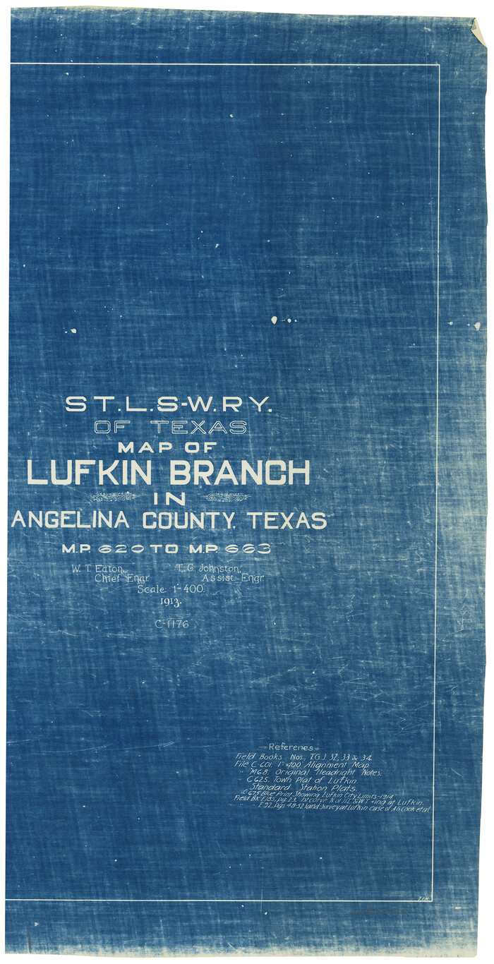

Print $20.00
- Digital $50.00
St. L. S-W. Ry. of Texas Map of Lufkin Branch in Angelina County, Texas
1913
Size: 24.0 x 12.1 inches
64562
Right of Way and Track Map, Texas & New Orleans R.R. Co. operated by the T. & N. O. R.R. Co., Dallas-Sabine Branch
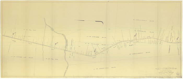

Print $40.00
- Digital $50.00
Right of Way and Track Map, Texas & New Orleans R.R. Co. operated by the T. & N. O. R.R. Co., Dallas-Sabine Branch
1918
Size: 24.6 x 56.4 inches
64632
Neches River, Texas Agricultural Experiment Station
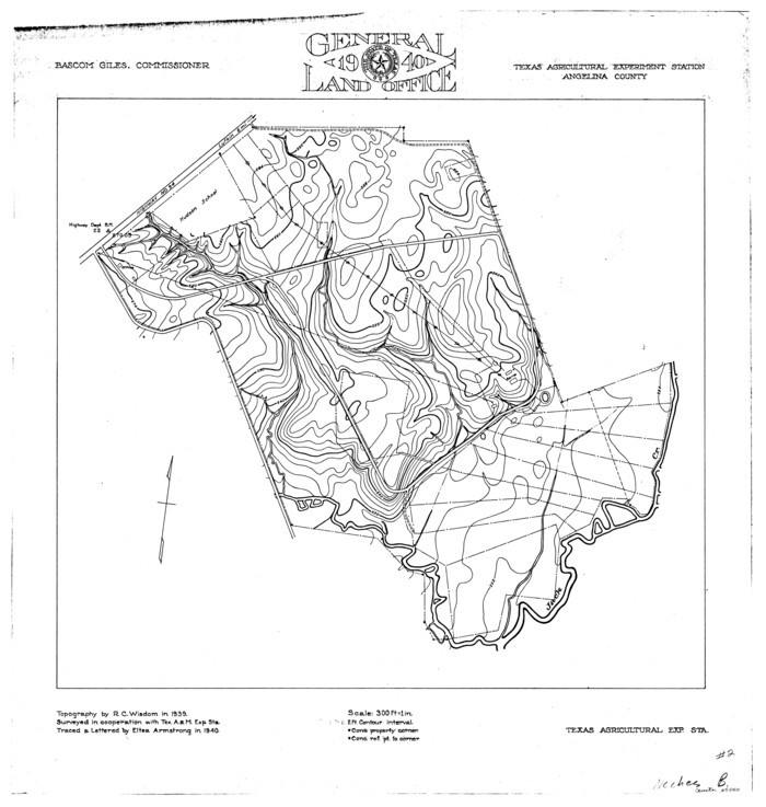

Print $4.00
- Digital $50.00
Neches River, Texas Agricultural Experiment Station
1940
Size: 21.7 x 20.6 inches
65080
Neches River, City of Lufkin
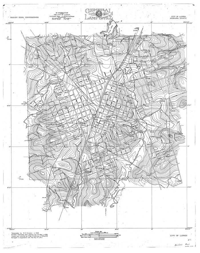

Print $20.00
- Digital $50.00
Neches River, City of Lufkin
1940
Size: 37.5 x 29.7 inches
65081
Nacogdoches County Working Sketch 13
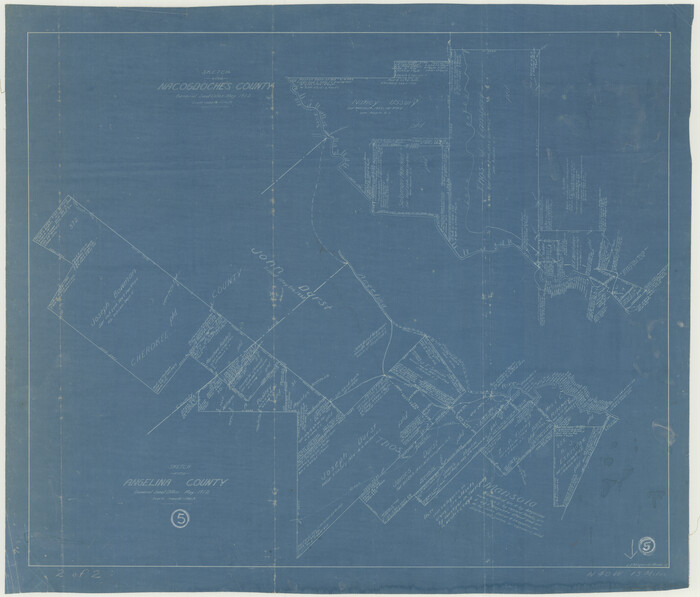

Print $20.00
- Digital $50.00
Nacogdoches County Working Sketch 13
1912
Size: 22.6 x 26.5 inches
67086
Map of Angelina County
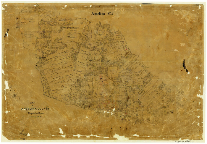

Print $20.00
- Digital $50.00
Map of Angelina County
1862
Size: 19.1 x 27.0 inches
3233
Map of Angelina County
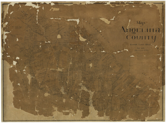

Print $40.00
- Digital $50.00
Map of Angelina County
1899
Size: 39.1 x 52.3 inches
4777
Map of Angelina County
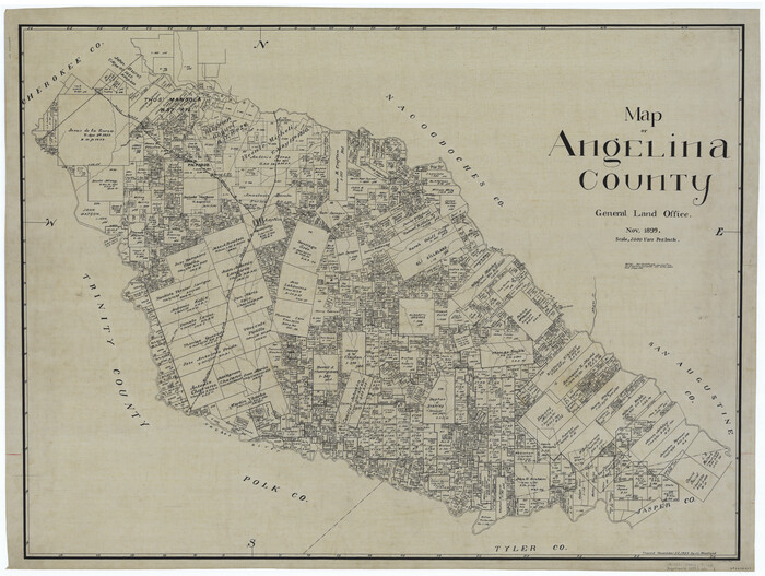

Print $40.00
- Digital $50.00
Map of Angelina County
1899
Size: 40.1 x 53.6 inches
4868
Jefferson County Sketch File X
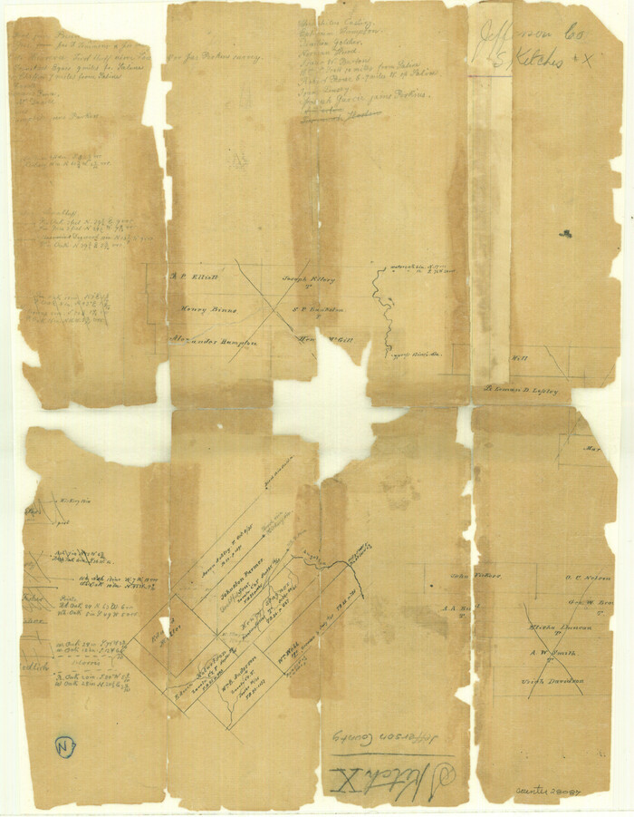

Print $42.00
- Digital $50.00
Jefferson County Sketch File X
Size: 17.1 x 13.3 inches
28087
General Highway Map. Detail of Cities and Towns in Angelina County, Texas [Lufkin and vicinity]
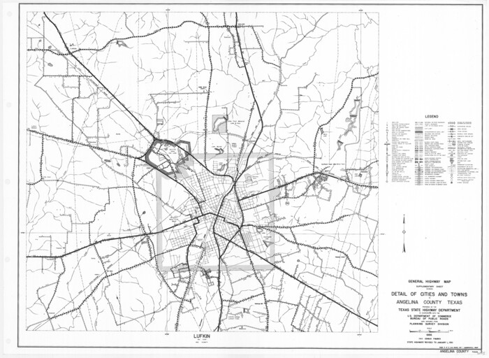

Print $20.00
General Highway Map. Detail of Cities and Towns in Angelina County, Texas [Lufkin and vicinity]
1961
Size: 18.3 x 25.0 inches
79351
General Highway Map, Angelina County, Texas


Print $20.00
General Highway Map, Angelina County, Texas
1940
Size: 18.5 x 24.9 inches
79003
General Highway Map, Angelina County, Texas


Print $20.00
General Highway Map, Angelina County, Texas
1961
Size: 25.1 x 18.1 inches
79349
General Highway Map, Angelina County, Texas
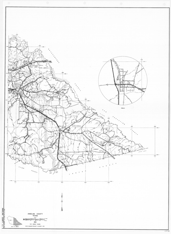

Print $20.00
General Highway Map, Angelina County, Texas
1961
Size: 25.1 x 18.4 inches
79350
English Field Notes of the Spanish Archives - Books TJG, DB, A, A2, B, B2, WB, and WR


English Field Notes of the Spanish Archives - Books TJG, DB, A, A2, B, B2, WB, and WR
1835
96553
English Field Notes of the Spanish Archives - Books SAS, DB4, GWS, JWB, and JWB3


English Field Notes of the Spanish Archives - Books SAS, DB4, GWS, JWB, and JWB3
1835
96551
English Field Notes of the Spanish Archives - Books R & MC


English Field Notes of the Spanish Archives - Books R & MC
1835
96552
English Field Notes of the Spanish Archives - Books JMH, MCMCHB, TGI


English Field Notes of the Spanish Archives - Books JMH, MCMCHB, TGI
1835
96547
English Field Notes of the Spanish Archives - Books J.S.2, 3, and 4


English Field Notes of the Spanish Archives - Books J.S.2, 3, and 4
1835
96550
English Field Notes of the Spanish Archives - Books DBE, WBPS, GAN, WB3, and X


English Field Notes of the Spanish Archives - Books DBE, WBPS, GAN, WB3, and X
1835
96546
English Field Notes of the Spanish Archives - Books DB3 & WR


English Field Notes of the Spanish Archives - Books DB3 & WR
1835
96548
English Field Notes of the Spanish Archives - Book 4 & W


English Field Notes of the Spanish Archives - Book 4 & W
1836
96530
Cherokee County Sketch File 13
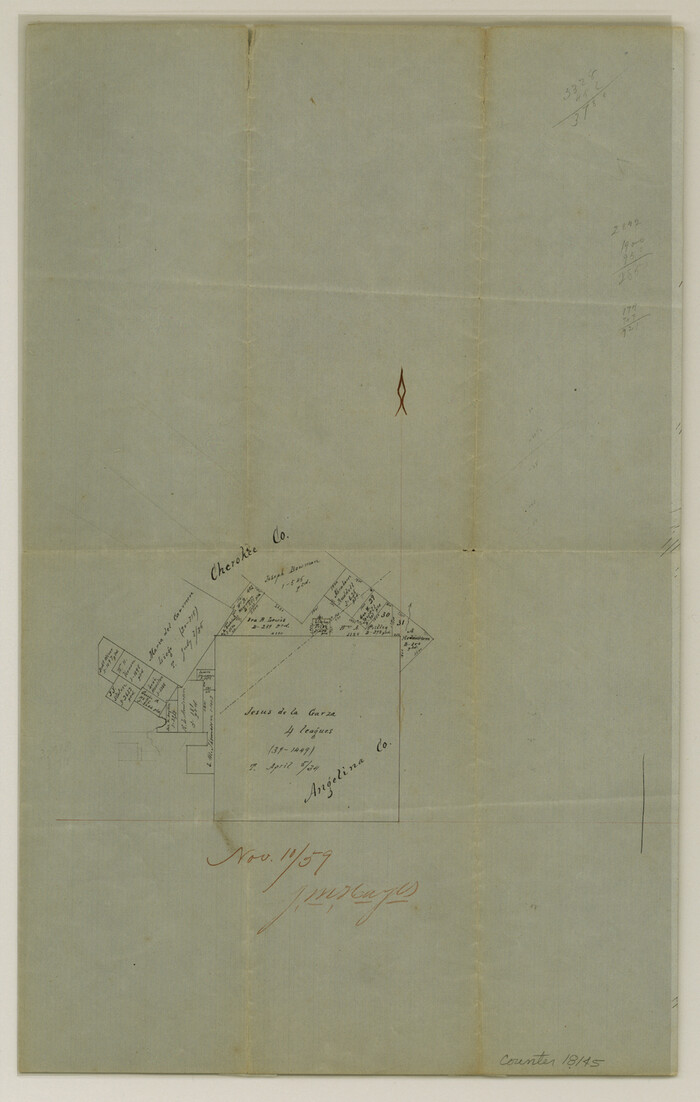

Print $6.00
- Digital $50.00
Cherokee County Sketch File 13
1859
Size: 14.8 x 9.4 inches
18145
[St. L. S-W. Ry. of Texas Map of Lufkin Branch in Cherokee County Texas]
![64017, [St. L. S-W. Ry. of Texas Map of Lufkin Branch in Cherokee County Texas], General Map Collection](https://historictexasmaps.com/wmedia_w700/maps/64017.tif.jpg)
![64017, [St. L. S-W. Ry. of Texas Map of Lufkin Branch in Cherokee County Texas], General Map Collection](https://historictexasmaps.com/wmedia_w700/maps/64017.tif.jpg)
Print $40.00
- Digital $50.00
[St. L. S-W. Ry. of Texas Map of Lufkin Branch in Cherokee County Texas]
1912
-
Size
22.8 x 121.4 inches
-
Map/Doc
64017
-
Creation Date
1912
[St. L. S-W. Ry. of Texas Map of Lufkin Branch in Cherokee County Texas]
![64018, [St. L. S-W. Ry. of Texas Map of Lufkin Branch in Cherokee County Texas], General Map Collection](https://historictexasmaps.com/wmedia_w700/maps/64018.tif.jpg)
![64018, [St. L. S-W. Ry. of Texas Map of Lufkin Branch in Cherokee County Texas], General Map Collection](https://historictexasmaps.com/wmedia_w700/maps/64018.tif.jpg)
Print $40.00
- Digital $50.00
[St. L. S-W. Ry. of Texas Map of Lufkin Branch in Cherokee County Texas]
1912
-
Size
22.3 x 121.1 inches
-
Map/Doc
64018
-
Creation Date
1912
[St. L. S-W. Ry. of Texas Map of Lufkin Branch in Angelina County, Texas]
![64560, [St. L. S-W. Ry. of Texas Map of Lufkin Branch in Angelina County, Texas], General Map Collection](https://historictexasmaps.com/wmedia_w700/maps/64560-1.tif.jpg)
![64560, [St. L. S-W. Ry. of Texas Map of Lufkin Branch in Angelina County, Texas], General Map Collection](https://historictexasmaps.com/wmedia_w700/maps/64560-1.tif.jpg)
Print $40.00
- Digital $50.00
[St. L. S-W. Ry. of Texas Map of Lufkin Branch in Angelina County, Texas]
1913
-
Size
25.7 x 121.3 inches
-
Map/Doc
64560
-
Creation Date
1913
[St. L. S-W. Ry. of Texas Map of Lufkin Branch in Angelina County, Texas]
![64561, [St. L. S-W. Ry. of Texas Map of Lufkin Branch in Angelina County, Texas], General Map Collection](https://historictexasmaps.com/wmedia_w700/maps/64561-1.tif.jpg)
![64561, [St. L. S-W. Ry. of Texas Map of Lufkin Branch in Angelina County, Texas], General Map Collection](https://historictexasmaps.com/wmedia_w700/maps/64561-1.tif.jpg)
Print $40.00
- Digital $50.00
[St. L. S-W. Ry. of Texas Map of Lufkin Branch in Angelina County, Texas]
1913
-
Size
25.4 x 121.3 inches
-
Map/Doc
64561
-
Creation Date
1913
Trinity County Working Sketch 5


Print $20.00
- Digital $50.00
Trinity County Working Sketch 5
1914
-
Size
18.3 x 23.9 inches
-
Map/Doc
69453
-
Creation Date
1914
St. Louis, Arkansas & Texas R'y, Lufkin Branch, Formerly the Kansas & Gulf Short Line


Print $20.00
- Digital $50.00
St. Louis, Arkansas & Texas R'y, Lufkin Branch, Formerly the Kansas & Gulf Short Line
1888
-
Size
10.5 x 42.8 inches
-
Map/Doc
64271
-
Creation Date
1888
St. L. S-W. Ry. of Texas Map of Lufkin Branch in Cherokee County Texas


Print $40.00
- Digital $50.00
St. L. S-W. Ry. of Texas Map of Lufkin Branch in Cherokee County Texas
1912
-
Size
23.4 x 121.6 inches
-
Map/Doc
64016
-
Creation Date
1912
St. L. S-W. Ry. of Texas Map of Lufkin Branch in Cherokee County Texas


Print $40.00
- Digital $50.00
St. L. S-W. Ry. of Texas Map of Lufkin Branch in Cherokee County Texas
1912
-
Size
22.7 x 64.3 inches
-
Map/Doc
64019
-
Creation Date
1912
St. L. S-W. Ry. of Texas Map of Lufkin Branch in Angelina County, Texas


Print $20.00
- Digital $50.00
St. L. S-W. Ry. of Texas Map of Lufkin Branch in Angelina County, Texas
1913
-
Size
24.0 x 12.1 inches
-
Map/Doc
64562
-
Creation Date
1913
Right of Way and Track Map, Texas & New Orleans R.R. Co. operated by the T. & N. O. R.R. Co., Dallas-Sabine Branch


Print $40.00
- Digital $50.00
Right of Way and Track Map, Texas & New Orleans R.R. Co. operated by the T. & N. O. R.R. Co., Dallas-Sabine Branch
1918
-
Size
24.6 x 56.4 inches
-
Map/Doc
64632
-
Creation Date
1918
Neches River, Texas Agricultural Experiment Station


Print $4.00
- Digital $50.00
Neches River, Texas Agricultural Experiment Station
1940
-
Size
21.7 x 20.6 inches
-
Map/Doc
65080
-
Creation Date
1940
Neches River, City of Lufkin


Print $20.00
- Digital $50.00
Neches River, City of Lufkin
1940
-
Size
37.5 x 29.7 inches
-
Map/Doc
65081
-
Creation Date
1940
Nacogdoches County Working Sketch 13


Print $20.00
- Digital $50.00
Nacogdoches County Working Sketch 13
1912
-
Size
22.6 x 26.5 inches
-
Map/Doc
67086
-
Creation Date
1912
Map of Angelina County


Print $20.00
- Digital $50.00
Map of Angelina County
1862
-
Size
19.1 x 27.0 inches
-
Map/Doc
3233
-
Creation Date
1862
Map of Angelina County


Print $40.00
- Digital $50.00
Map of Angelina County
1899
-
Size
39.1 x 52.3 inches
-
Map/Doc
4777
-
Creation Date
1899
Map of Angelina County


Print $40.00
- Digital $50.00
Map of Angelina County
1899
-
Size
40.1 x 53.6 inches
-
Map/Doc
4868
-
Creation Date
1899
Jefferson County Sketch File X


Print $42.00
- Digital $50.00
Jefferson County Sketch File X
-
Size
17.1 x 13.3 inches
-
Map/Doc
28087
General Highway Map. Detail of Cities and Towns in Angelina County, Texas [Lufkin and vicinity]
![79351, General Highway Map. Detail of Cities and Towns in Angelina County, Texas [Lufkin and vicinity], Texas State Library and Archives](https://historictexasmaps.com/wmedia_w700/maps/79351.tif.jpg)
![79351, General Highway Map. Detail of Cities and Towns in Angelina County, Texas [Lufkin and vicinity], Texas State Library and Archives](https://historictexasmaps.com/wmedia_w700/maps/79351.tif.jpg)
Print $20.00
General Highway Map. Detail of Cities and Towns in Angelina County, Texas [Lufkin and vicinity]
1961
-
Size
18.3 x 25.0 inches
-
Map/Doc
79351
-
Creation Date
1961
General Highway Map, Angelina County, Texas


Print $20.00
General Highway Map, Angelina County, Texas
1940
-
Size
18.5 x 24.9 inches
-
Map/Doc
79003
-
Creation Date
1940
General Highway Map, Angelina County, Texas


Print $20.00
General Highway Map, Angelina County, Texas
1961
-
Size
25.1 x 18.1 inches
-
Map/Doc
79349
-
Creation Date
1961
General Highway Map, Angelina County, Texas


Print $20.00
General Highway Map, Angelina County, Texas
1961
-
Size
25.1 x 18.4 inches
-
Map/Doc
79350
-
Creation Date
1961
English Field Notes of the Spanish Archives - Books TJG, DB, A, A2, B, B2, WB, and WR


English Field Notes of the Spanish Archives - Books TJG, DB, A, A2, B, B2, WB, and WR
1835
-
Map/Doc
96553
-
Creation Date
1835
English Field Notes of the Spanish Archives - Books SAS, DB4, GWS, JWB, and JWB3


English Field Notes of the Spanish Archives - Books SAS, DB4, GWS, JWB, and JWB3
1835
-
Map/Doc
96551
-
Creation Date
1835
English Field Notes of the Spanish Archives - Books R & MC


English Field Notes of the Spanish Archives - Books R & MC
1835
-
Map/Doc
96552
-
Creation Date
1835
English Field Notes of the Spanish Archives - Books JMH, MCMCHB, TGI


English Field Notes of the Spanish Archives - Books JMH, MCMCHB, TGI
1835
-
Map/Doc
96547
-
Creation Date
1835
English Field Notes of the Spanish Archives - Books J.S.2, 3, and 4


English Field Notes of the Spanish Archives - Books J.S.2, 3, and 4
1835
-
Map/Doc
96550
-
Creation Date
1835
English Field Notes of the Spanish Archives - Books DBE, WBPS, GAN, WB3, and X


English Field Notes of the Spanish Archives - Books DBE, WBPS, GAN, WB3, and X
1835
-
Map/Doc
96546
-
Creation Date
1835
English Field Notes of the Spanish Archives - Books DB3 & WR


English Field Notes of the Spanish Archives - Books DB3 & WR
1835
-
Map/Doc
96548
-
Creation Date
1835
English Field Notes of the Spanish Archives - Book 4 & W


English Field Notes of the Spanish Archives - Book 4 & W
1836
-
Map/Doc
96530
-
Creation Date
1836
Cherokee County Sketch File 13


Print $6.00
- Digital $50.00
Cherokee County Sketch File 13
1859
-
Size
14.8 x 9.4 inches
-
Map/Doc
18145
-
Creation Date
1859