
Bastrop County Boundary File 1
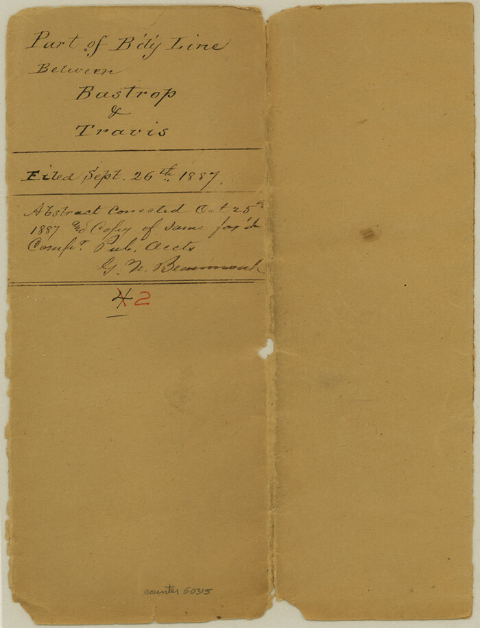
Bastrop County Boundary File 2
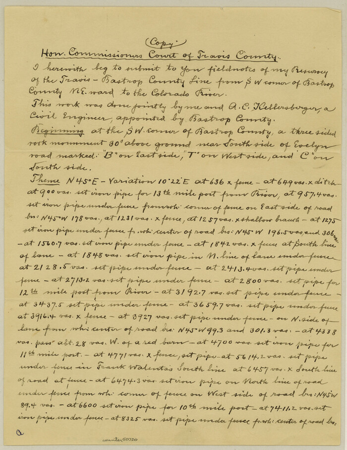
Bastrop County Boundary File 3
1925

Bastrop County Boundary File 4
1925

Bastrop County Boundary File 5

Bastrop County Boundary File 6
1923
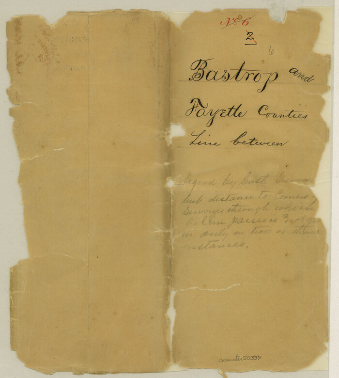
Bastrop County Boundary File 6
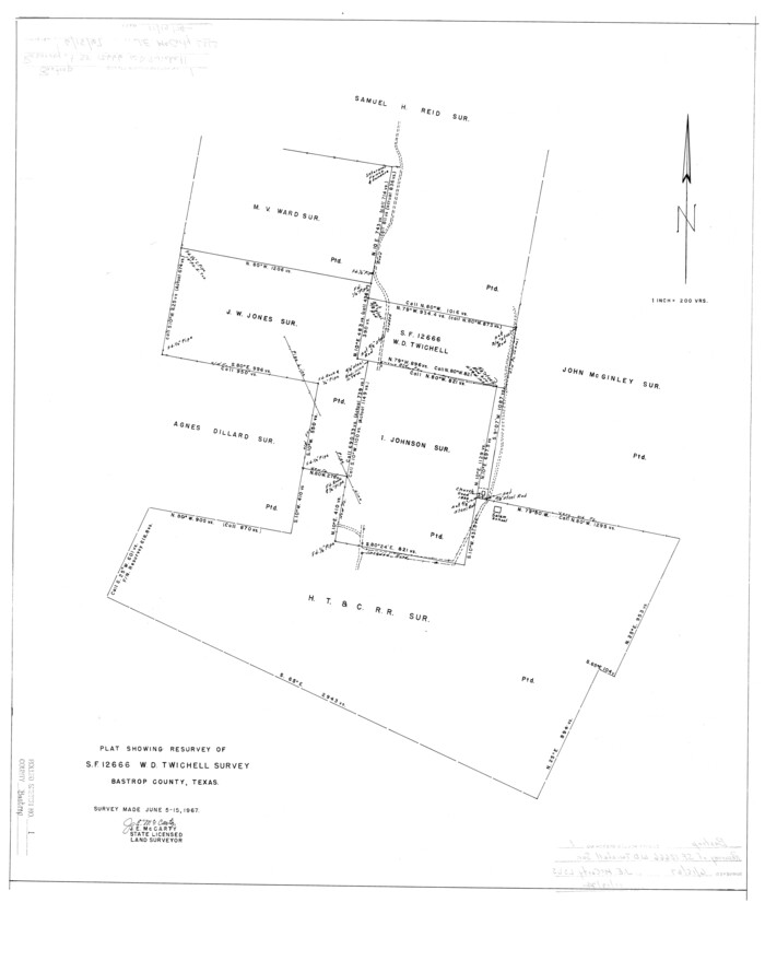
Bastrop County Rolled Sketch 1
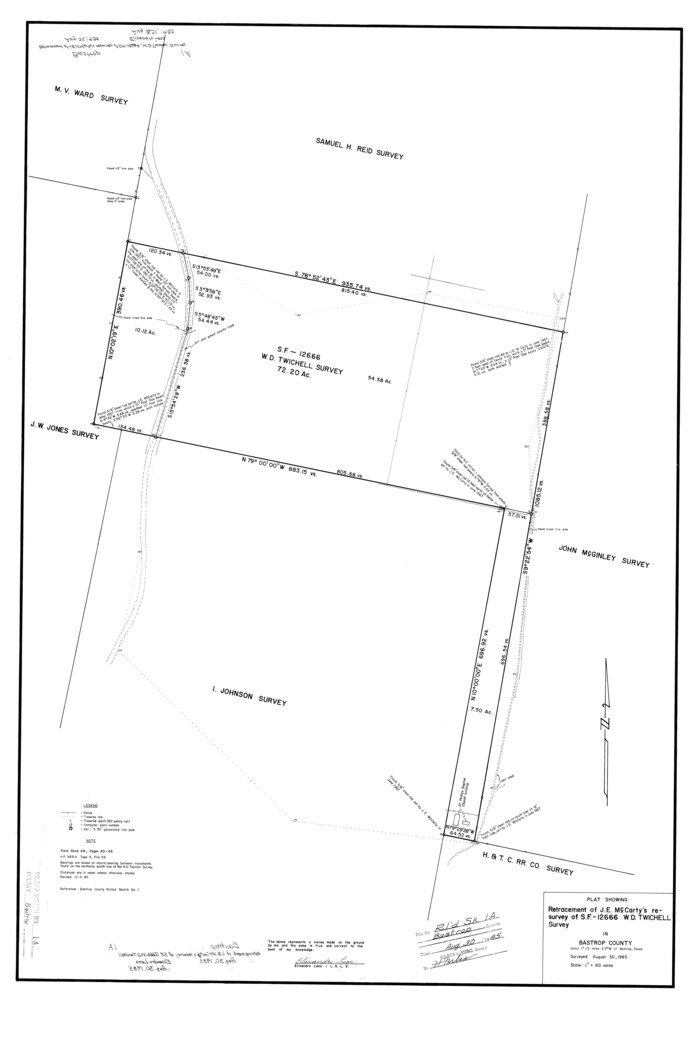
Bastrop County Rolled Sketch 1A

Bastrop County Rolled Sketch 2
1979
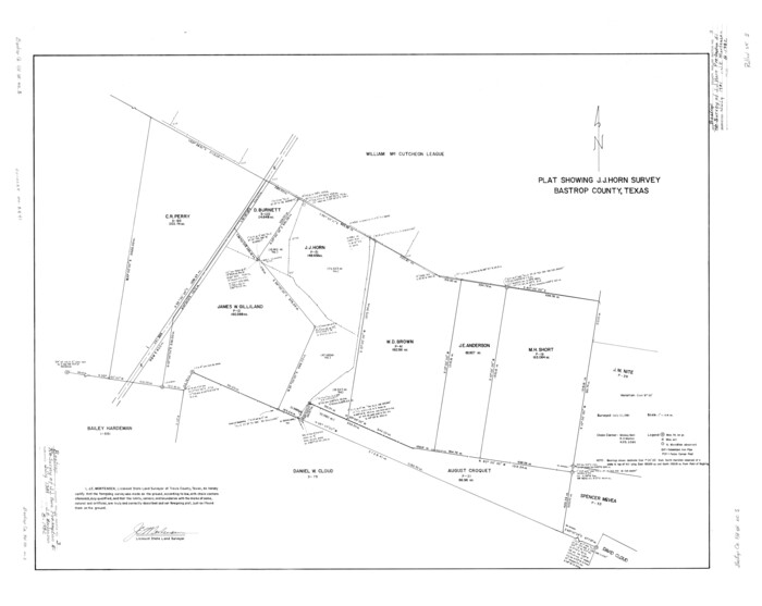
Bastrop County Rolled Sketch 3

Bastrop County Rolled Sketch 4
1999
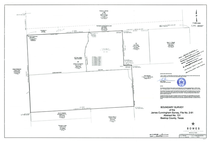
Bastrop County Rolled Sketch 5
2013

Bastrop County Rolled Sketch 6
2013
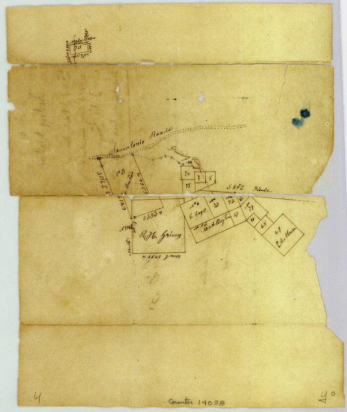
Bastrop County Sketch File 1
1846

Bastrop County Sketch File 10
1979
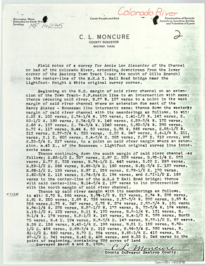
Bastrop County Sketch File 11
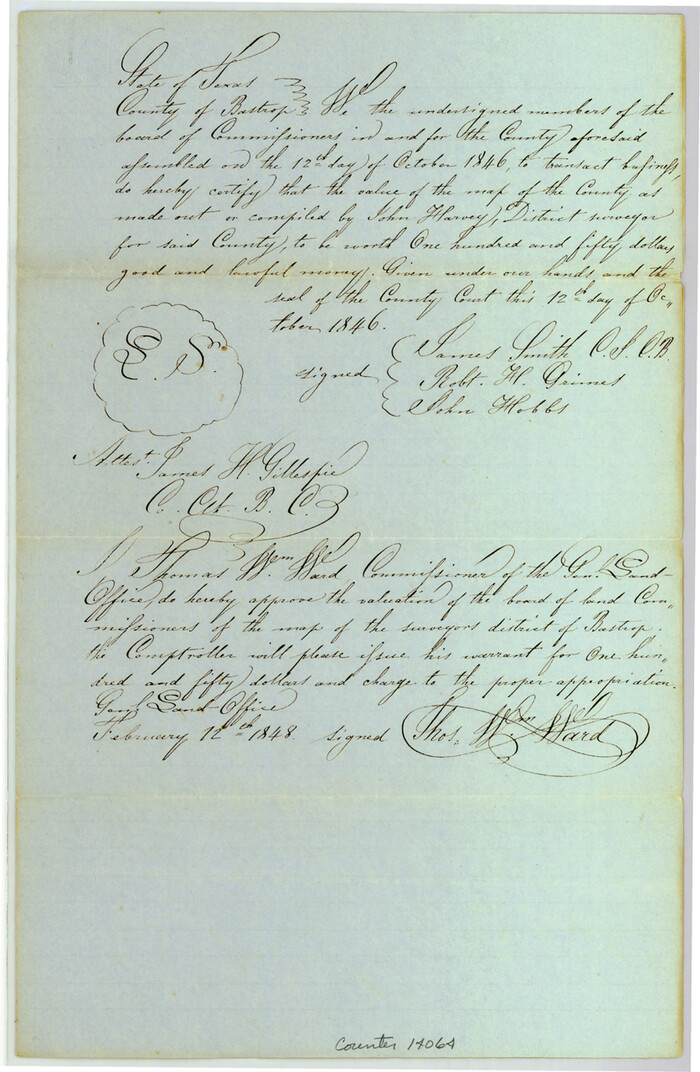
Bastrop County Sketch File 12
1846

Bastrop County Sketch File 13
1845

Bastrop Co.
1955
-
Size
50.6 x 41.7 inches
-
Map/Doc
1778
-
Creation Date
1955
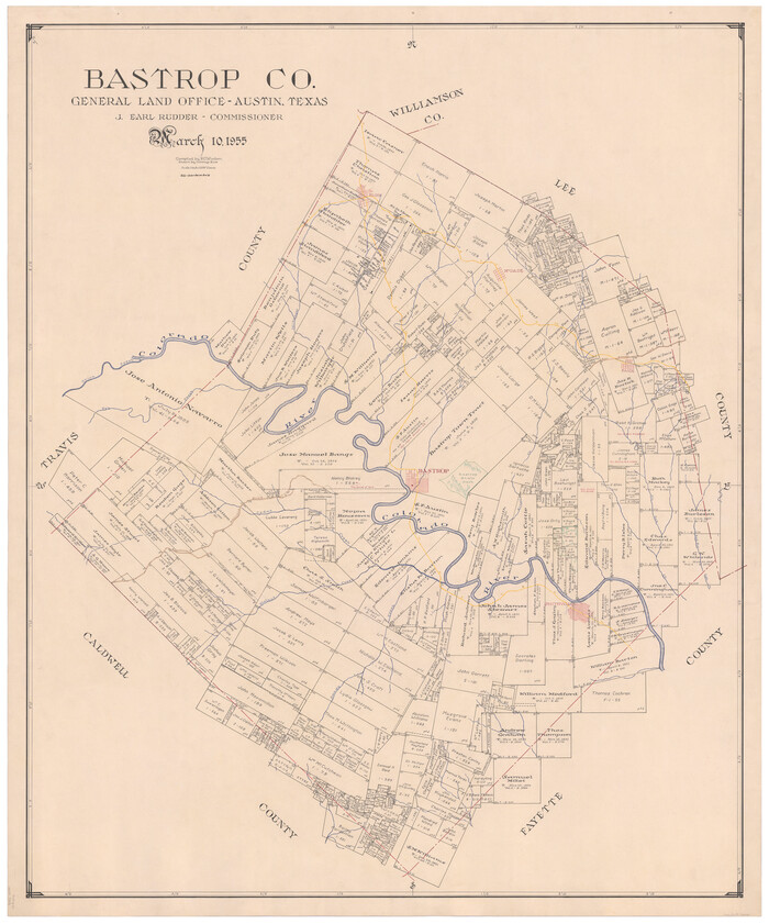
Bastrop Co.
1955
-
Size
50.2 x 41.5 inches
-
Map/Doc
73076
-
Creation Date
1955

Bastrop Co.
1955
-
Size
48.9 x 40.3 inches
-
Map/Doc
77208
-
Creation Date
1955
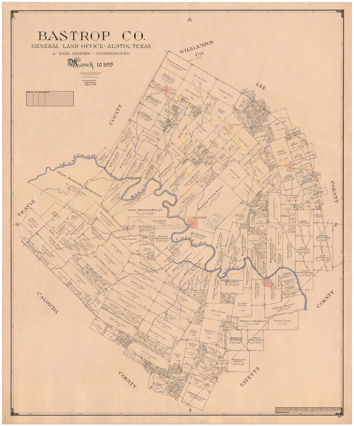
Bastrop Co.
1955
-
Size
50.8 x 42.3 inches
-
Map/Doc
95425
-
Creation Date
1955

Bastrop County
1883
-
Size
25.9 x 25.2 inches
-
Map/Doc
3276
-
Creation Date
1883

Bastrop County
1879
-
Size
21.5 x 19.5 inches
-
Map/Doc
3277
-
Creation Date
1879

Bastrop County
1872
-
Size
21.1 x 17.4 inches
-
Map/Doc
3279
-
Creation Date
1872

Bastrop County
1917
-
Size
49.7 x 42.0 inches
-
Map/Doc
4796
-
Creation Date
1917
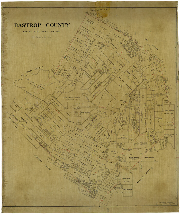
Bastrop County
1917
-
Size
48.0 x 40.5 inches
-
Map/Doc
4881
-
Creation Date
1917
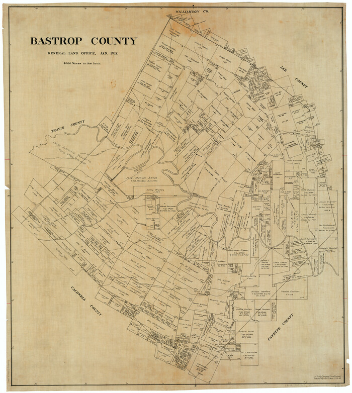
Bastrop County
1917
-
Size
45.5 x 40.8 inches
-
Map/Doc
66711
-
Creation Date
1917
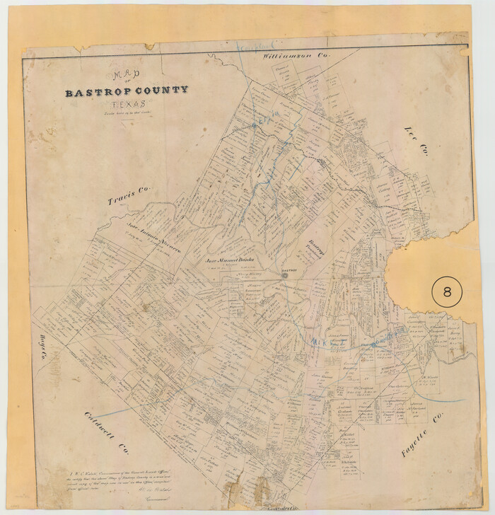
Bastrop County
1879
-
Size
27.1 x 26.1 inches
-
Map/Doc
692
-
Creation Date
1879

Bastrop County Boundary File 1
-
Size
12.6 x 8.3 inches
-
Map/Doc
50313

Bastrop County Boundary File 2
-
Size
9.1 x 6.9 inches
-
Map/Doc
50315

Bastrop County Boundary File 3
1925
-
Size
11.3 x 8.7 inches
-
Map/Doc
50320
-
Creation Date
1925

Bastrop County Boundary File 4
1925
-
Size
11.2 x 8.7 inches
-
Map/Doc
50324
-
Creation Date
1925

Bastrop County Boundary File 5
-
Size
9.1 x 7.2 inches
-
Map/Doc
50328

Bastrop County Boundary File 6
1923
-
Size
15.4 x 102.0 inches
-
Map/Doc
1691
-
Creation Date
1923

Bastrop County Boundary File 6
-
Size
8.8 x 7.9 inches
-
Map/Doc
50337

Bastrop County Rolled Sketch 1
-
Size
30.0 x 23.9 inches
-
Map/Doc
5121

Bastrop County Rolled Sketch 1A
-
Size
37.0 x 24.5 inches
-
Map/Doc
5122

Bastrop County Rolled Sketch 2
1979
-
Size
26.3 x 18.4 inches
-
Map/Doc
5123
-
Creation Date
1979

Bastrop County Rolled Sketch 3
-
Size
32.0 x 40.2 inches
-
Map/Doc
8441

Bastrop County Rolled Sketch 4
1999
-
Size
130.2 x 30.8 inches
-
Map/Doc
8443
-
Creation Date
1999

Bastrop County Rolled Sketch 5
2013
-
Size
24.9 x 36.9 inches
-
Map/Doc
93715
-
Creation Date
2013

Bastrop County Rolled Sketch 6
2013
-
Size
42.3 x 32.1 inches
-
Map/Doc
93716
-
Creation Date
2013

Bastrop County Sketch File 1
1846
-
Size
8.1 x 9.8 inches
-
Map/Doc
14037
-
Creation Date
1846

Bastrop County Sketch File 10
1979
-
Size
14.3 x 8.8 inches
-
Map/Doc
14056
-
Creation Date
1979

Bastrop County Sketch File 11
-
Size
11.2 x 8.7 inches
-
Map/Doc
14058

Bastrop County Sketch File 12
1846
-
Size
12.8 x 8.4 inches
-
Map/Doc
14064
-
Creation Date
1846

Bastrop County Sketch File 13
1845
-
Size
10.1 x 15.8 inches
-
Map/Doc
14070
-
Creation Date
1845