
Borden County Working Sketch 16
2007
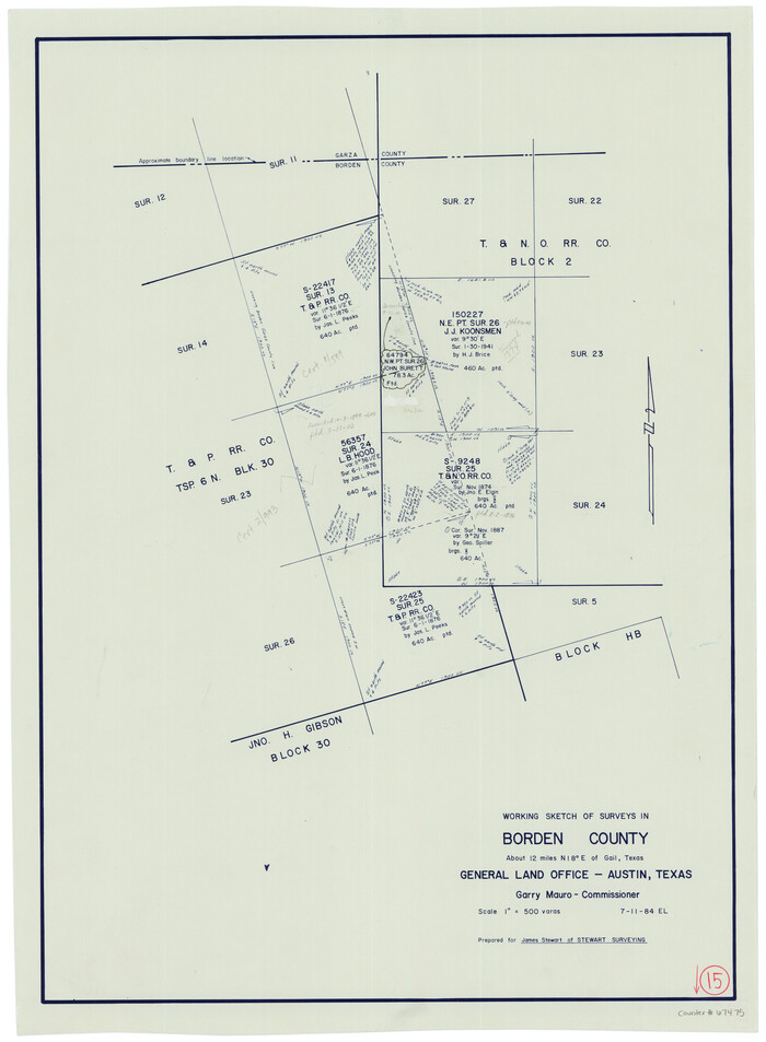
Borden County Working Sketch 15
1984
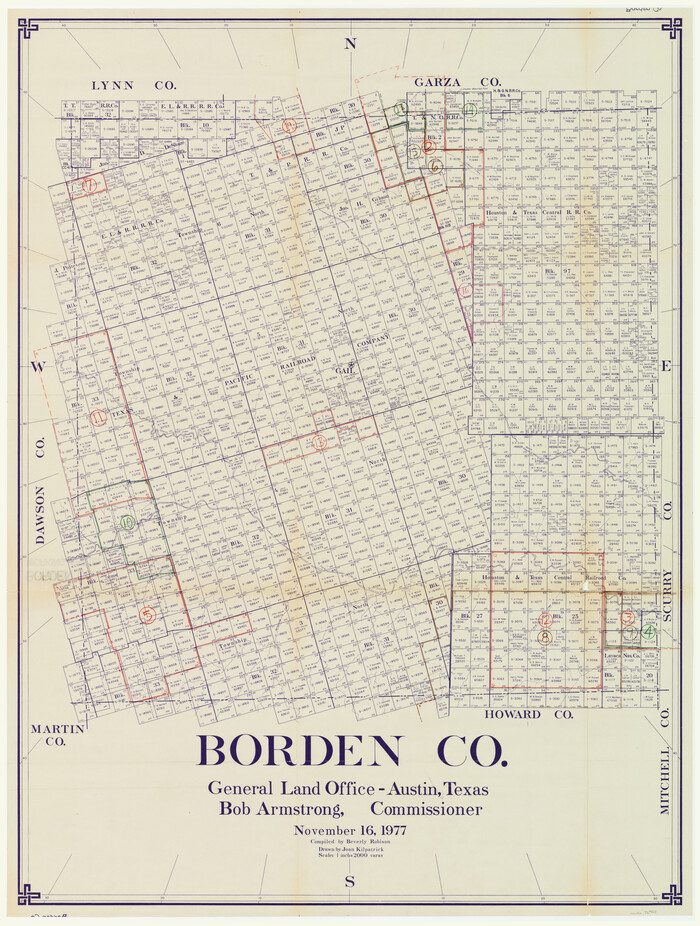
Borden County Working Sketch Graphic Index
1977

Borden - Garza County Line as agreed upon in the 118th Judicial District Court, Howard County, Texas Case No. 13,023
1965
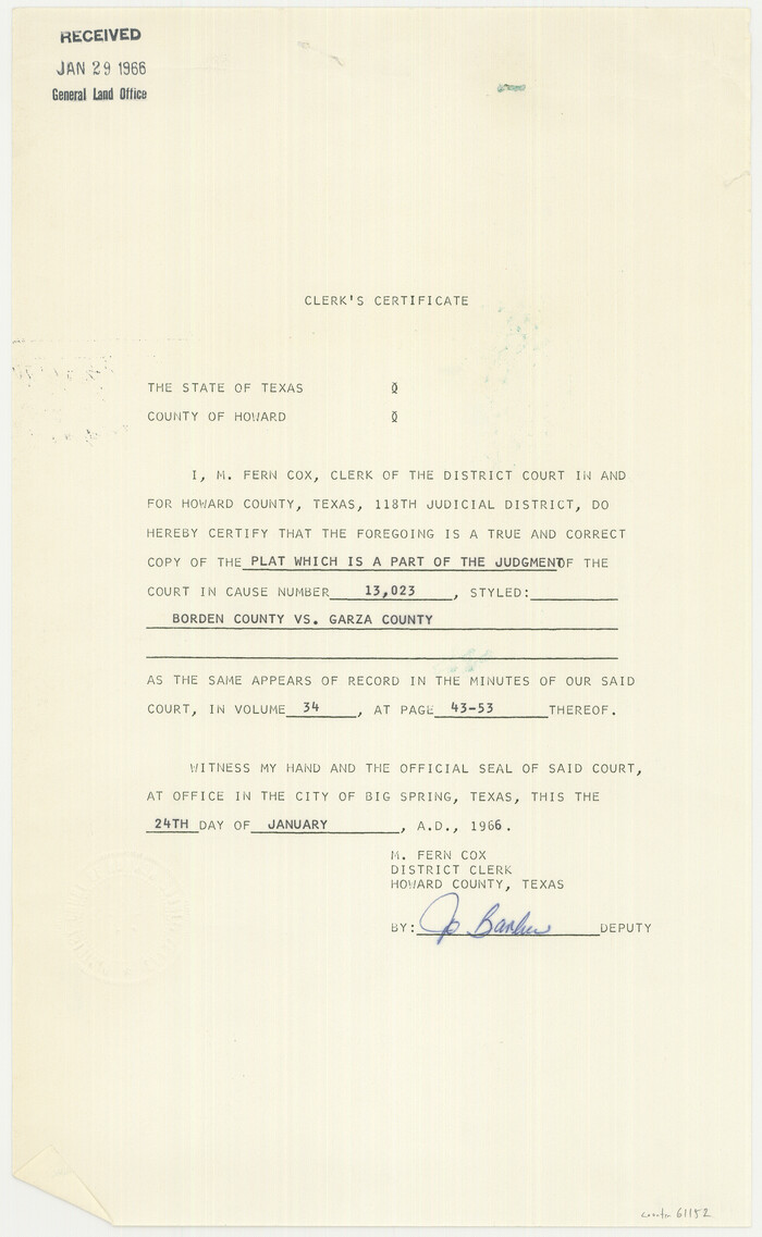
Borden and Garza County Boundary Line Plat
1965
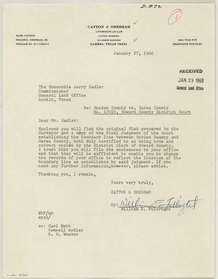
Borden County Boundary File 7
1965

Borden County Rolled Sketch 12
1964
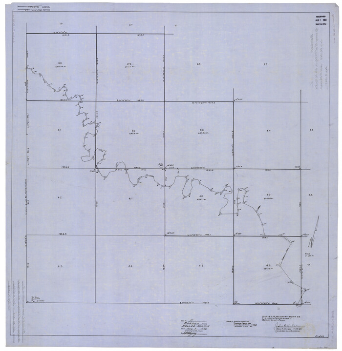
Borden County Rolled Sketch 11
1963
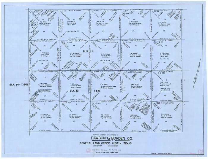
Dawson County Working Sketch 19
1963

Sketch showing county lines of Lynn, Garza, Borden, Scurry
1961

Dawson County Working Sketch 17
1961

General Highway Map, Borden County, Texas
1961
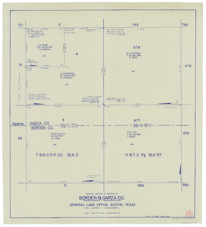
Borden County Working Sketch 14
1959
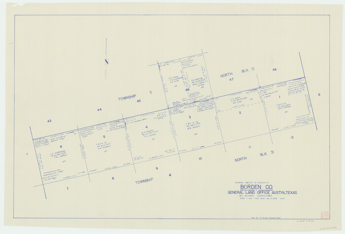
Borden County Working Sketch 13
1958
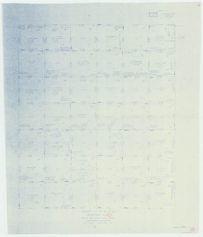
Borden County Working Sketch 12
1956
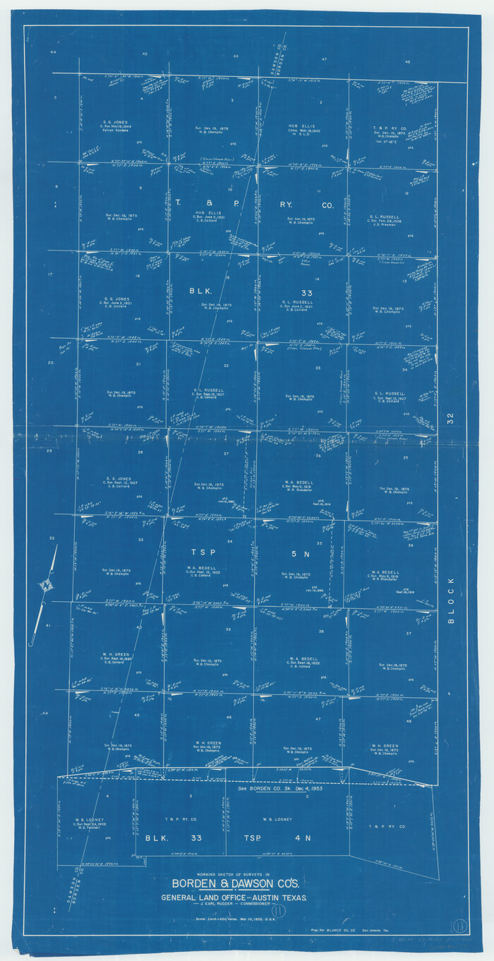
Borden County Working Sketch 11
1955
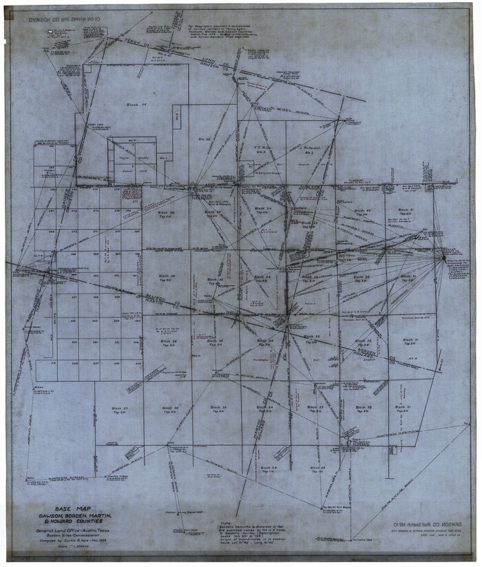
Dawson County Rolled Sketch 10
1954

Mitchell Estate Subdivision
1953
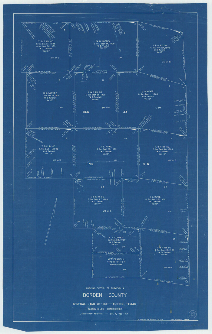
Borden County Working Sketch 10
1953

Dawson County Rolled Sketch 9
1953

Borden County Rolled Sketch 10
1952

Borden County Rolled Sketch 8
1951

Borden County Rolled Sketch 9
1951
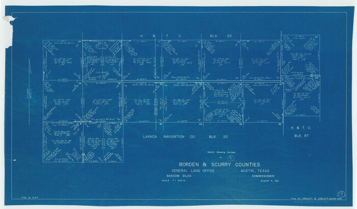
Borden County Working Sketch 9
1951

Borden County Working Sketch 8
1951

Howard County Working Sketch 7b
1950

Howard County Working Sketch 7a
1950

Borden County Working Sketch 16
2007
-
Size
48.0 x 29.4 inches
-
Map/Doc
87206
-
Creation Date
2007

Borden County Working Sketch 15
1984
-
Size
25.5 x 18.9 inches
-
Map/Doc
67475
-
Creation Date
1984

Borden Co.
1977
-
Size
45.3 x 34.4 inches
-
Map/Doc
73082
-
Creation Date
1977

Borden County Working Sketch Graphic Index
1977
-
Size
45.7 x 34.8 inches
-
Map/Doc
76468
-
Creation Date
1977

Borden Co.
1977
-
Size
43.5 x 32.9 inches
-
Map/Doc
77214
-
Creation Date
1977
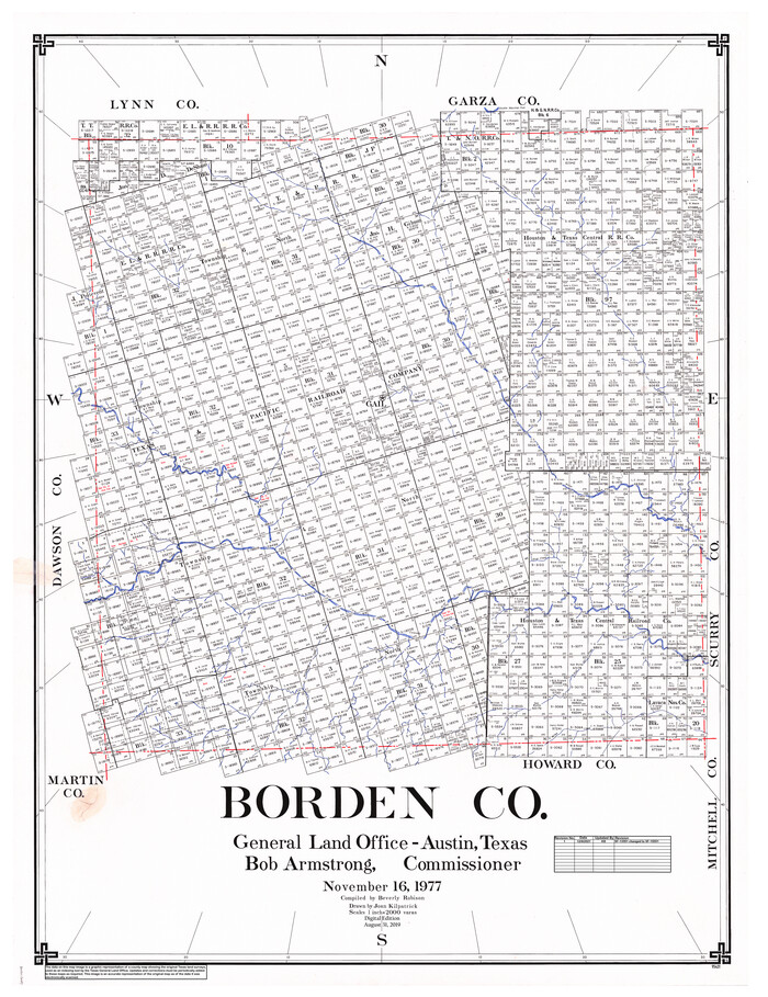
Borden Co.
1977
-
Size
46.5 x 35.2 inches
-
Map/Doc
95431
-
Creation Date
1977

Borden - Garza County Line as agreed upon in the 118th Judicial District Court, Howard County, Texas Case No. 13,023
1965
-
Size
19.0 x 102.2 inches
-
Map/Doc
1697
-
Creation Date
1965

Borden and Garza County Boundary Line Plat
1965
-
Size
14.2 x 8.8 inches
-
Map/Doc
61152
-
Creation Date
1965

Borden County Boundary File 7
1965
-
Size
11.2 x 8.8 inches
-
Map/Doc
61161
-
Creation Date
1965

Borden County Rolled Sketch 12
1964
-
Size
48.1 x 31.6 inches
-
Map/Doc
8451
-
Creation Date
1964

Borden County Rolled Sketch 11
1963
-
Size
33.2 x 32.2 inches
-
Map/Doc
8450
-
Creation Date
1963

Dawson County Working Sketch 19
1963
-
Size
24.8 x 32.4 inches
-
Map/Doc
68563
-
Creation Date
1963

Sketch showing county lines of Lynn, Garza, Borden, Scurry
1961
-
Size
23.9 x 79.9 inches
-
Map/Doc
1719
-
Creation Date
1961

Dawson County Working Sketch 17
1961
-
Size
33.3 x 29.9 inches
-
Map/Doc
68561
-
Creation Date
1961

General Highway Map, Borden County, Texas
1961
-
Size
18.3 x 25.0 inches
-
Map/Doc
79377
-
Creation Date
1961

Borden County Working Sketch 14
1959
-
Size
27.8 x 25.2 inches
-
Map/Doc
67474
-
Creation Date
1959

Borden County Working Sketch 13
1958
-
Size
24.1 x 35.6 inches
-
Map/Doc
67473
-
Creation Date
1958

Borden County Working Sketch 12
1956
-
Size
43.1 x 37.0 inches
-
Map/Doc
67472
-
Creation Date
1956

Borden County Working Sketch 11
1955
-
Size
51.6 x 26.5 inches
-
Map/Doc
67471
-
Creation Date
1955

Dawson County Rolled Sketch 10
1954
-
Size
44.5 x 37.9 inches
-
Map/Doc
8774
-
Creation Date
1954

Mitchell Estate Subdivision
1953
-
Size
9.3 x 19.8 inches
-
Map/Doc
92505
-
Creation Date
1953

Borden County Working Sketch 10
1953
-
Size
32.2 x 20.4 inches
-
Map/Doc
67470
-
Creation Date
1953

Dawson County Rolled Sketch 9
1953
-
Size
36.6 x 45.7 inches
-
Map/Doc
8773
-
Creation Date
1953

Borden County Rolled Sketch 10
1952
-
Size
110.6 x 29.8 inches
-
Map/Doc
8449
-
Creation Date
1952

Borden County Rolled Sketch 8
1951
-
Size
23.8 x 28.6 inches
-
Map/Doc
5159
-
Creation Date
1951

Borden County Rolled Sketch 9
1951
-
Size
114.7 x 29.6 inches
-
Map/Doc
8448
-
Creation Date
1951

Borden County Working Sketch 9
1951
-
Size
24.8 x 42.3 inches
-
Map/Doc
67469
-
Creation Date
1951

Borden County Working Sketch 8
1951
-
Size
24.7 x 34.4 inches
-
Map/Doc
67468
-
Creation Date
1951

Howard County Working Sketch 7b
1950
-
Size
83.3 x 25.6 inches
-
Map/Doc
66274
-
Creation Date
1950

Howard County Working Sketch 7a
1950
-
Size
81.9 x 24.7 inches
-
Map/Doc
66273
-
Creation Date
1950