
Callahan County Rolled Sketch 26
2010
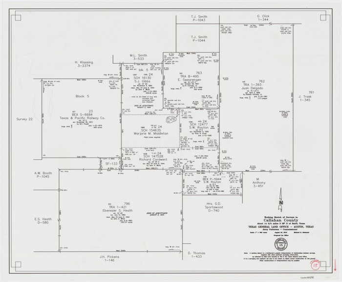
Callahan County Working Sketch 15
2010
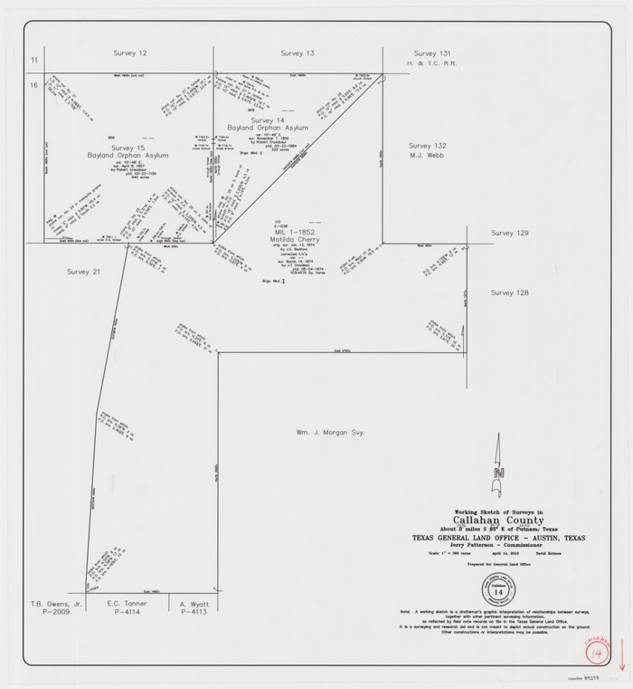
Callahan County Working Sketch 14
2010
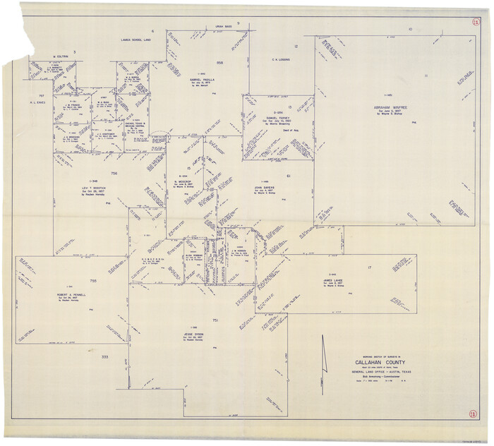
Callahan County Working Sketch 11
1978
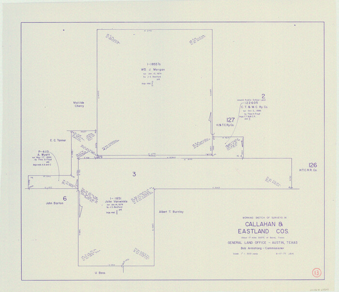
Callahan County Working Sketch 13
1977

Callahan County Rolled Sketch 25
1974

Callahan County Working Sketch 12
1969

Callahan County Working Sketch Graphic Index
1969
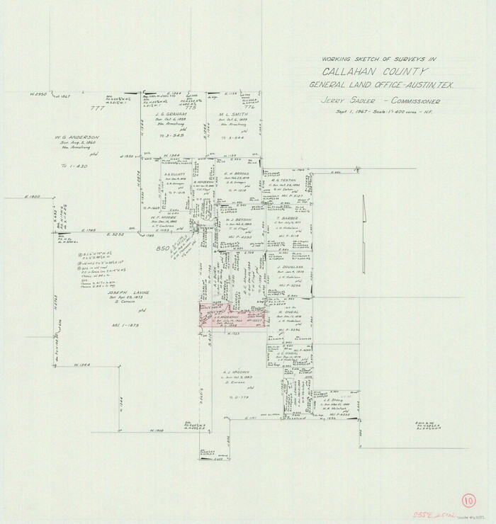
Callahan County Working Sketch 10
1967
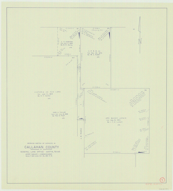
Callahan County Working Sketch 9
1962

General Highway Map, Callahan County, Texas
1961
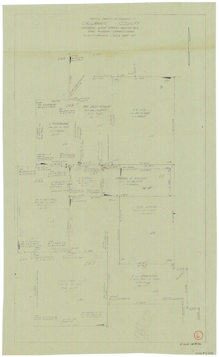
Callahan County Working Sketch 6
1955
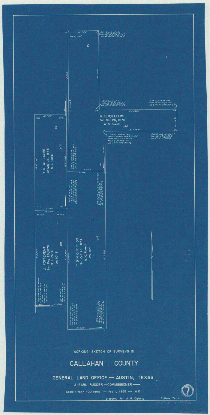
Callahan County Working Sketch 7
1955
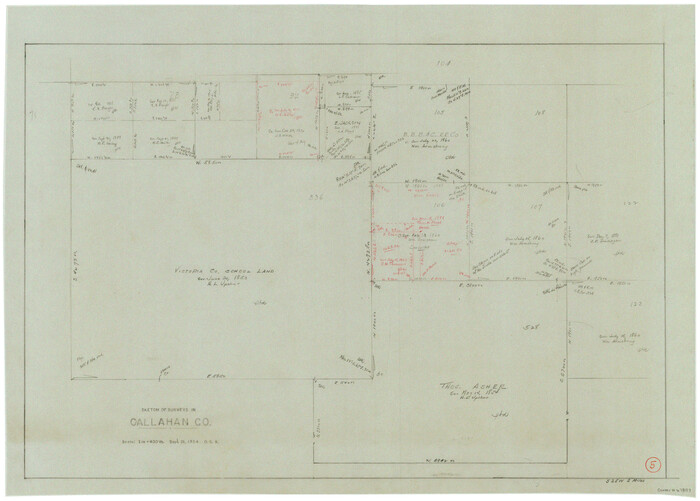
Callahan County Working Sketch 5
1954
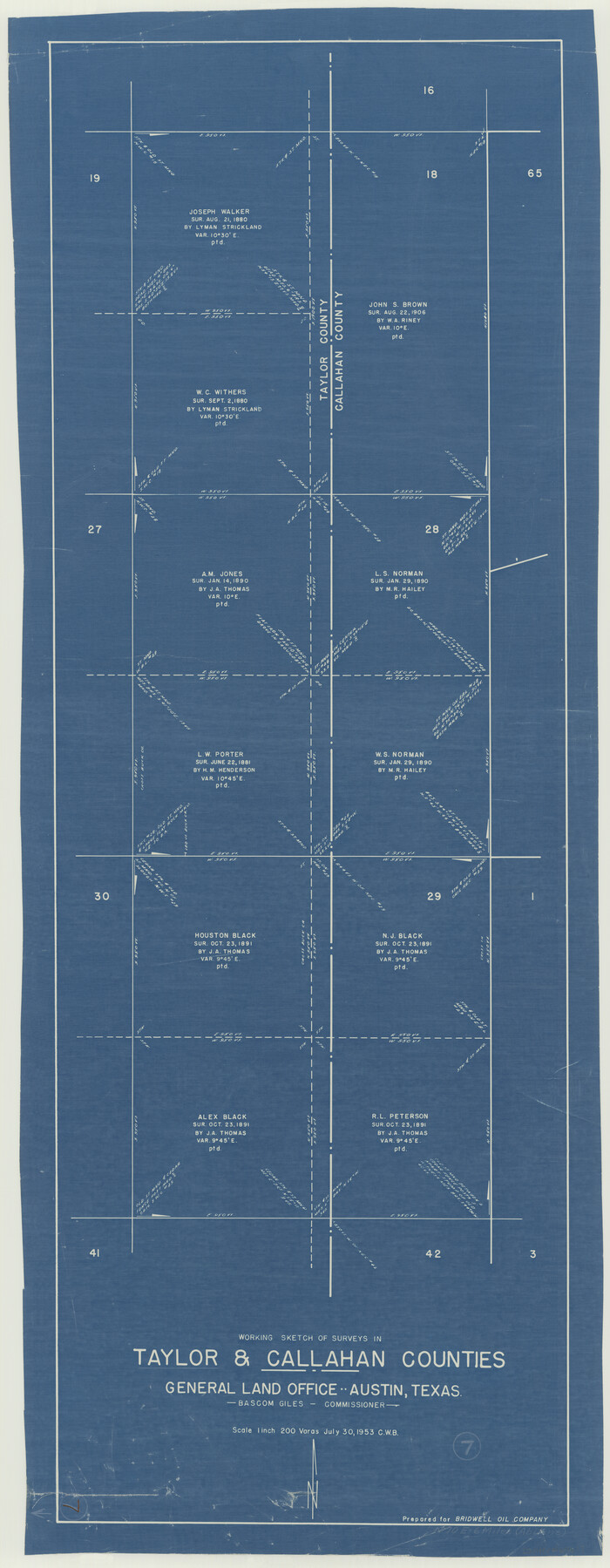
Taylor County Working Sketch 7
1953

Callahan County Working Sketch 4
1953
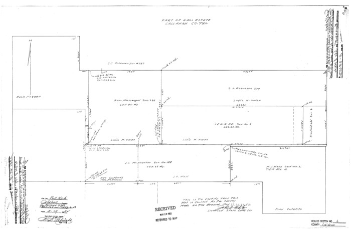
Callahan County Rolled Sketch 4
1952

Callahan County Working Sketch 2
1952
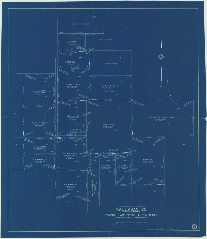
Callahan County Working Sketch 3
1952
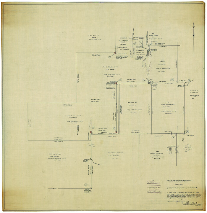
Callahan County Rolled Sketch 3
1948
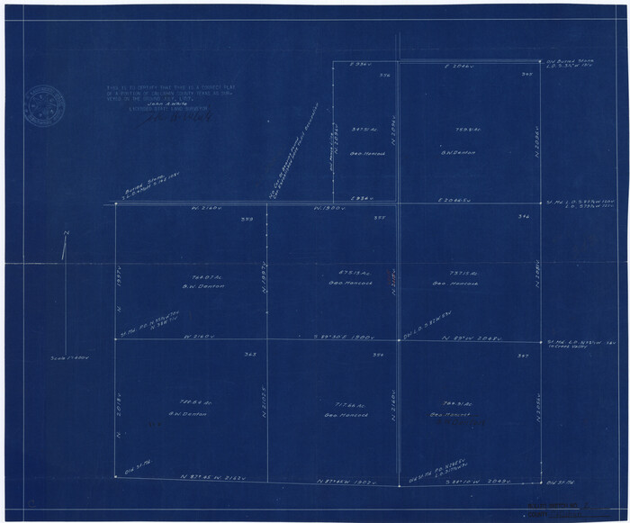
Callahan County Rolled Sketch 2
1947
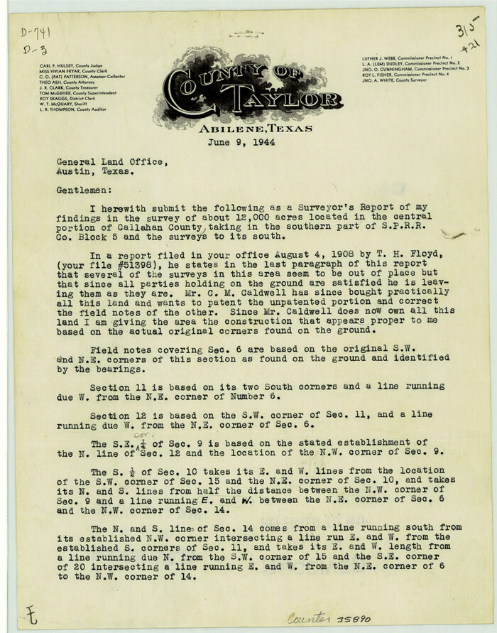
Callahan County Sketch File 15
1944

Callahan County Rolled Sketch 1
1944

General Highway Map, Callahan County, Texas
1940
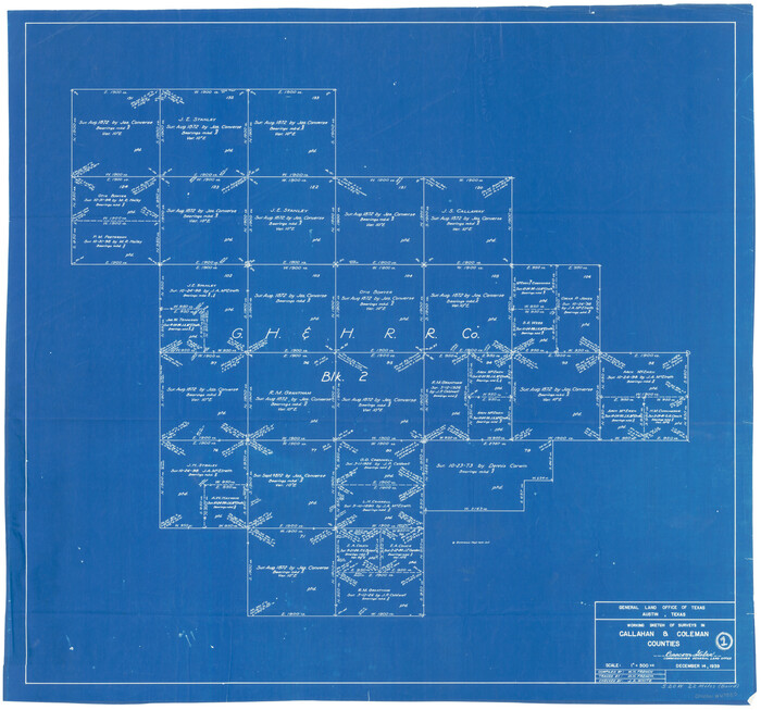
Callahan County Working Sketch 1
1939

Callahan County Sketch File 14
1938

Water-Shed of the Colorado River
1925

Callahan County Rolled Sketch 26
2010
-
Size
30.6 x 24.6 inches
-
Map/Doc
93453
-
Creation Date
2010

Callahan County Working Sketch 15
2010
-
Size
22.6 x 27.3 inches
-
Map/Doc
89295
-
Creation Date
2010

Callahan County Working Sketch 14
2010
-
Size
25.8 x 23.7 inches
-
Map/Doc
89273
-
Creation Date
2010

Callahan County Working Sketch 11
1978
-
Size
43.0 x 48.1 inches
-
Map/Doc
67893
-
Creation Date
1978

Callahan County Working Sketch 13
1977
-
Size
23.8 x 27.6 inches
-
Map/Doc
67895
-
Creation Date
1977

Callahan County Rolled Sketch 25
1974
-
Size
18.4 x 22.5 inches
-
Map/Doc
5383
-
Creation Date
1974
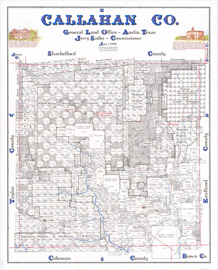
Callahan Co.
1969
-
Size
42.8 x 34.6 inches
-
Map/Doc
73097
-
Creation Date
1969

Callahan Co.
1969
-
Size
42.0 x 34.5 inches
-
Map/Doc
77229
-
Creation Date
1969
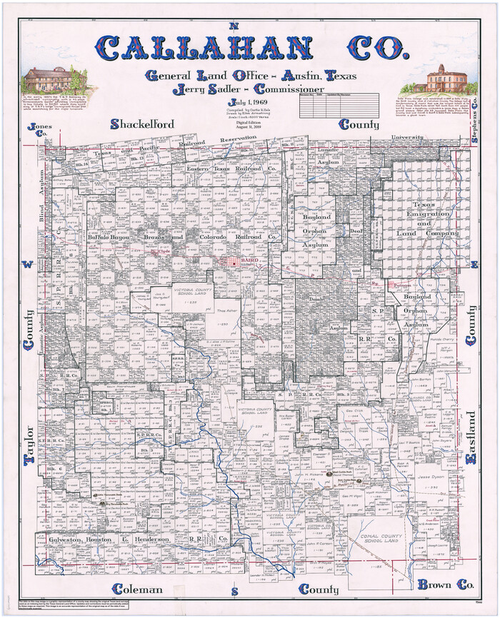
Callahan Co.
1969
-
Size
43.1 x 34.8 inches
-
Map/Doc
95446
-
Creation Date
1969

Callahan County Working Sketch 12
1969
-
Size
25.6 x 38.5 inches
-
Map/Doc
67894
-
Creation Date
1969

Callahan County Working Sketch Graphic Index
1969
-
Size
41.3 x 33.4 inches
-
Map/Doc
76485
-
Creation Date
1969

Callahan County Working Sketch 10
1967
-
Size
26.9 x 25.5 inches
-
Map/Doc
67892
-
Creation Date
1967

Callahan County Working Sketch 9
1962
-
Size
28.3 x 25.6 inches
-
Map/Doc
67891
-
Creation Date
1962

General Highway Map, Callahan County, Texas
1961
-
Size
25.0 x 18.2 inches
-
Map/Doc
79396
-
Creation Date
1961

Callahan County Working Sketch 6
1955
-
Size
30.2 x 18.8 inches
-
Map/Doc
67888
-
Creation Date
1955

Callahan County Working Sketch 7
1955
-
Size
25.1 x 12.7 inches
-
Map/Doc
67889
-
Creation Date
1955

Callahan County Working Sketch 5
1954
-
Size
24.3 x 33.8 inches
-
Map/Doc
67887
-
Creation Date
1954

Taylor County Working Sketch 7
1953
-
Size
41.3 x 16.1 inches
-
Map/Doc
69617
-
Creation Date
1953

Callahan County Working Sketch 4
1953
-
Size
17.1 x 27.0 inches
-
Map/Doc
67886
-
Creation Date
1953

Callahan County Rolled Sketch 4
1952
-
Size
20.8 x 30.6 inches
-
Map/Doc
5381
-
Creation Date
1952

Callahan County Working Sketch 2
1952
-
Size
29.1 x 35.4 inches
-
Map/Doc
67884
-
Creation Date
1952

Callahan County Working Sketch 3
1952
-
Size
35.3 x 30.5 inches
-
Map/Doc
67885
-
Creation Date
1952

Callahan County Rolled Sketch 3
1948
-
Size
36.1 x 35.3 inches
-
Map/Doc
8561
-
Creation Date
1948

Callahan County Rolled Sketch 2
1947
-
Size
19.1 x 23.0 inches
-
Map/Doc
5380
-
Creation Date
1947

Callahan County Sketch File 15
1944
-
Size
11.2 x 8.8 inches
-
Map/Doc
35890
-
Creation Date
1944

Callahan County Rolled Sketch 1
1944
-
Size
26.9 x 26.3 inches
-
Map/Doc
5379
-
Creation Date
1944

General Highway Map, Callahan County, Texas
1940
-
Size
25.3 x 18.4 inches
-
Map/Doc
79037
-
Creation Date
1940

Callahan County Working Sketch 1
1939
-
Size
30.6 x 32.6 inches
-
Map/Doc
67883
-
Creation Date
1939

Callahan County Sketch File 14
1938
-
Size
20.5 x 26.1 inches
-
Map/Doc
11042
-
Creation Date
1938

Water-Shed of the Colorado River
1925
-
Size
37.1 x 79.8 inches
-
Map/Doc
65261
-
Creation Date
1925