Callahan County Sketch File 10
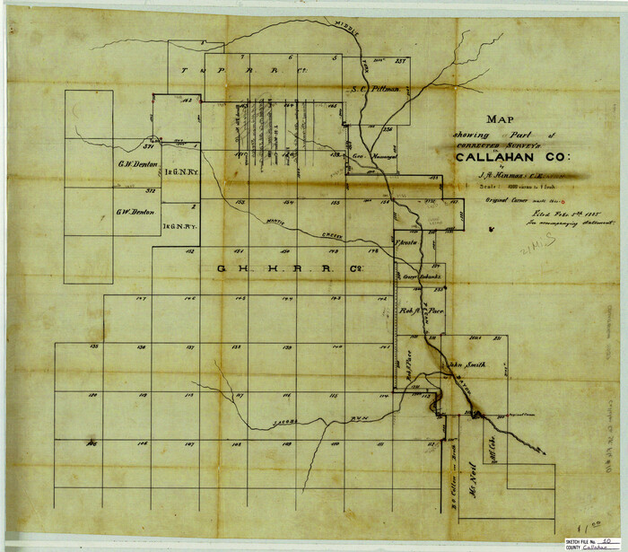

Print $40.00
- Digital $50.00
Callahan County Sketch File 10
Size: 21.7 x 24.7 inches
11039
Coleman County Sketch File 27a


Print $20.00
- Digital $50.00
Coleman County Sketch File 27a
Size: 22.6 x 24.3 inches
11121
[Map of a portion of Bexar and Travis Districts]
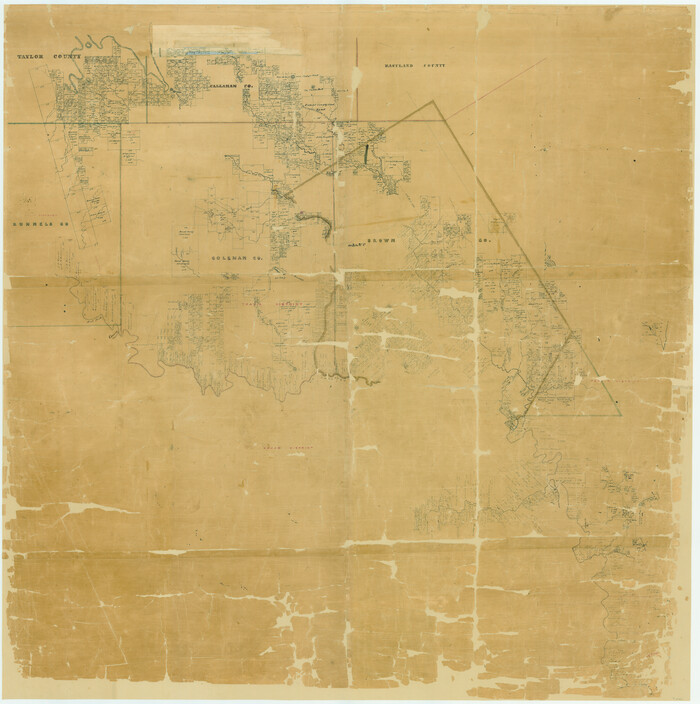

Print $20.00
- Digital $50.00
[Map of a portion of Bexar and Travis Districts]
Size: 47.5 x 47.2 inches
16943
Eastland County Sketch File 1

Print $8.00
- Digital $50.00
Eastland County Sketch File 1
Size: 9.0 x 7.9 inches
21555
Eastland County Sketch File 11


Print $8.00
- Digital $50.00
Eastland County Sketch File 11
Size: 6.7 x 7.0 inches
21585
Callahan County Sketch File 1


Print $4.00
- Digital $50.00
Callahan County Sketch File 1
Size: 9.1 x 8.2 inches
35851
Callahan County Sketch File 6a


Print $24.00
- Digital $50.00
Callahan County Sketch File 6a
Size: 8.0 x 6.8 inches
35860
Callahan County Sketch File 7


Print $18.00
- Digital $50.00
Callahan County Sketch File 7
Size: 10.8 x 8.9 inches
35863
Callahan County Sketch File 10b
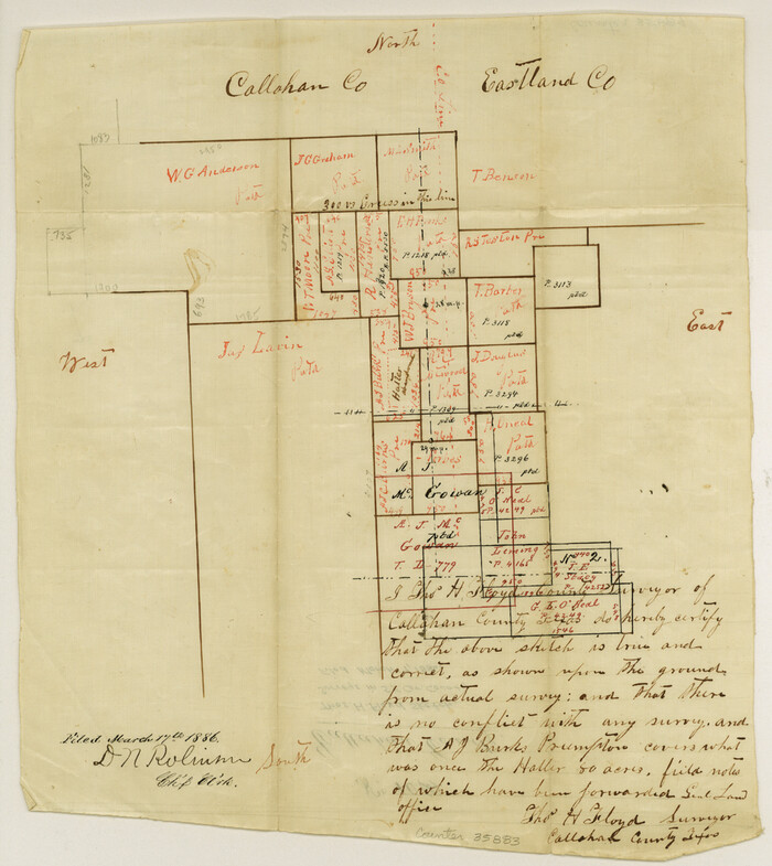

Print $6.00
- Digital $50.00
Callahan County Sketch File 10b
Size: 12.1 x 10.8 inches
35883
Callahan County Sketch File 11


Print $64.00
- Digital $50.00
Callahan County Sketch File 11
Size: 11.4 x 8.4 inches
35887
Callahan County Sketch File 16


Print $4.00
- Digital $50.00
Callahan County Sketch File 16
Size: 14.6 x 8.7 inches
35895
Taylor County Sketch File A1
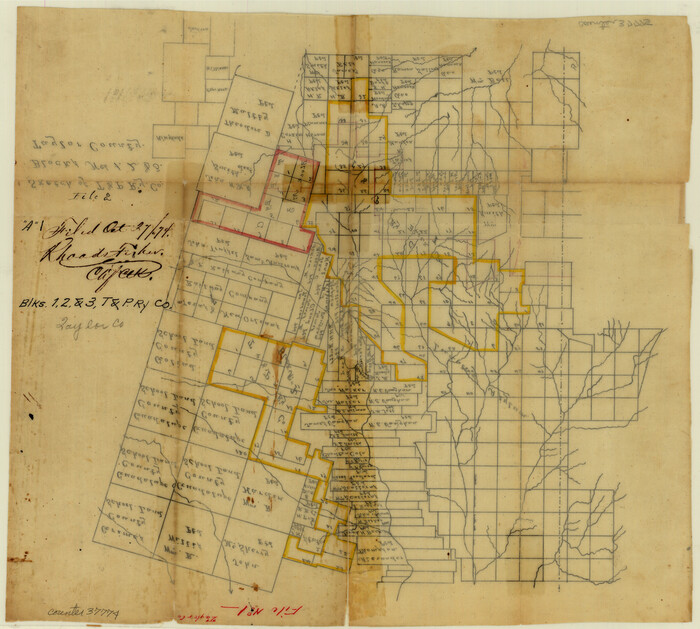

Print $40.00
- Digital $50.00
Taylor County Sketch File A1
Size: 12.8 x 14.3 inches
37774
Callahan County Boundary File 1


Print $120.00
- Digital $50.00
Callahan County Boundary File 1
Size: 14.2 x 8.6 inches
51025
Callahan County Boundary File 1a
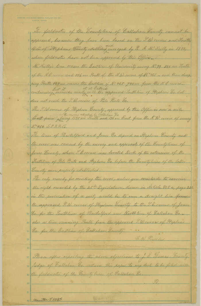

Print $4.00
- Digital $50.00
Callahan County Boundary File 1a
Size: 13.3 x 8.7 inches
51085
Callahan County Rolled Sketch 5
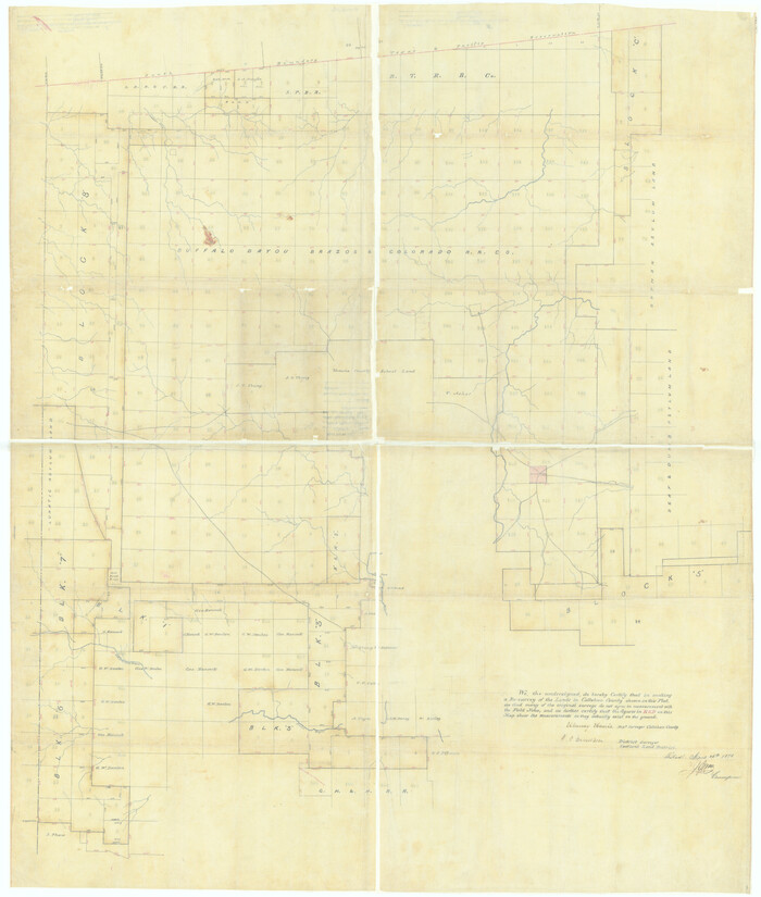

Print $40.00
- Digital $50.00
Callahan County Rolled Sketch 5
Size: 52.0 x 44.1 inches
5382
[Texas Central Railway through Callahan County]


Print $40.00
- Digital $50.00
[Texas Central Railway through Callahan County]
Size: 24.6 x 86.3 inches
64240
Map of the Texas & Pacific Railway from Fort Worth to El Paso


Print $40.00
- Digital $50.00
Map of the Texas & Pacific Railway from Fort Worth to El Paso
Size: 24.0 x 76.5 inches
64511
Callahan County Working Sketch 8
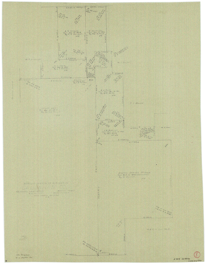

Print $20.00
- Digital $50.00
Callahan County Working Sketch 8
Size: 30.5 x 23.7 inches
67890
Field Notes of Surveys in Travis District (Callahan, Coleman, and Runnels Counties)


Field Notes of Surveys in Travis District (Callahan, Coleman, and Runnels Counties)
81675
[Area to the West and North of the Abraham Winfrey survey 11]
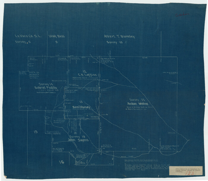

Print $20.00
- Digital $50.00
[Area to the West and North of the Abraham Winfrey survey 11]
Size: 16.9 x 14.7 inches
92117
Callahan County Sketch File 17


Print $18.00
- Digital $50.00
Callahan County Sketch File 17
Size: 11.0 x 8.5 inches
93444
[Map of Texas and Pacific Blocks from Brazos River westward through Palo Pinto, Stephens, Shackelford, Jones, Callahan, Taylor, Fisher, Nolan and Mitchell Counties]
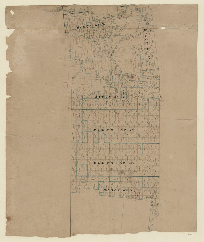

Print $20.00
- Digital $50.00
[Map of Texas and Pacific Blocks from Brazos River westward through Palo Pinto, Stephens, Shackelford, Jones, Callahan, Taylor, Fisher, Nolan and Mitchell Counties]
Size: 22.0 x 18.5 inches
93456
[Map of Texas and Pacific Blocks from Brazos River westward through Palo Pinto, Stephens, Shackelford, Jones, Callahan, Taylor, Fisher, Nolan and Mitchell Counties]


Print $40.00
- Digital $50.00
[Map of Texas and Pacific Blocks from Brazos River westward through Palo Pinto, Stephens, Shackelford, Jones, Callahan, Taylor, Fisher, Nolan and Mitchell Counties]
Size: 87.1 x 18.8 inches
93460
Pecan Bayou Travis District


Print $20.00
- Digital $50.00
Pecan Bayou Travis District
1852
Size: 25.8 x 20.5 inches
4518
Map of The Surveyed Part of Peters Colony Texas
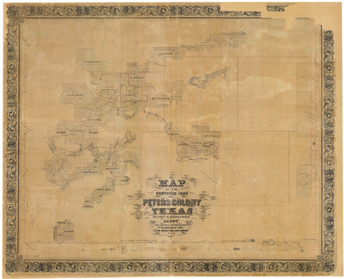

Print $40.00
- Digital $50.00
Map of The Surveyed Part of Peters Colony Texas
1854
Size: 53.5 x 65.9 inches
1967
Map of Asylum Lands


Print $20.00
- Digital $50.00
Map of Asylum Lands
1857
Size: 22.0 x 29.1 inches
2214
Map of Asylum Lands


Print $20.00
- Digital $50.00
Map of Asylum Lands
1857
Size: 28.4 x 18.5 inches
2459
Callahan County Sketch File 2
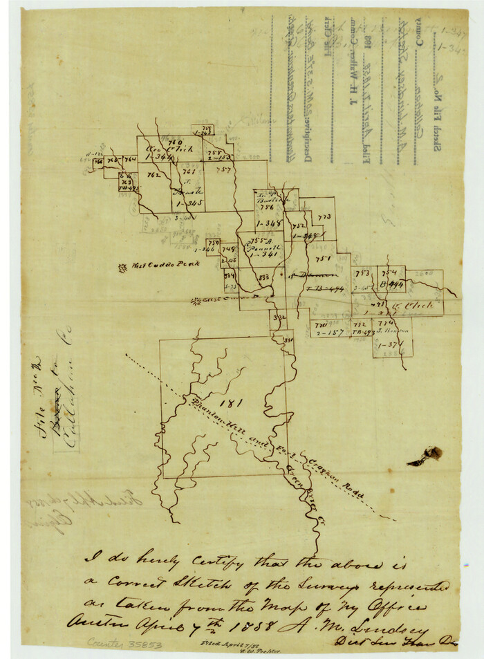

Print $8.00
- Digital $50.00
Callahan County Sketch File 2
1858
Size: 11.8 x 8.7 inches
35853
Callahan County Sketch File 6
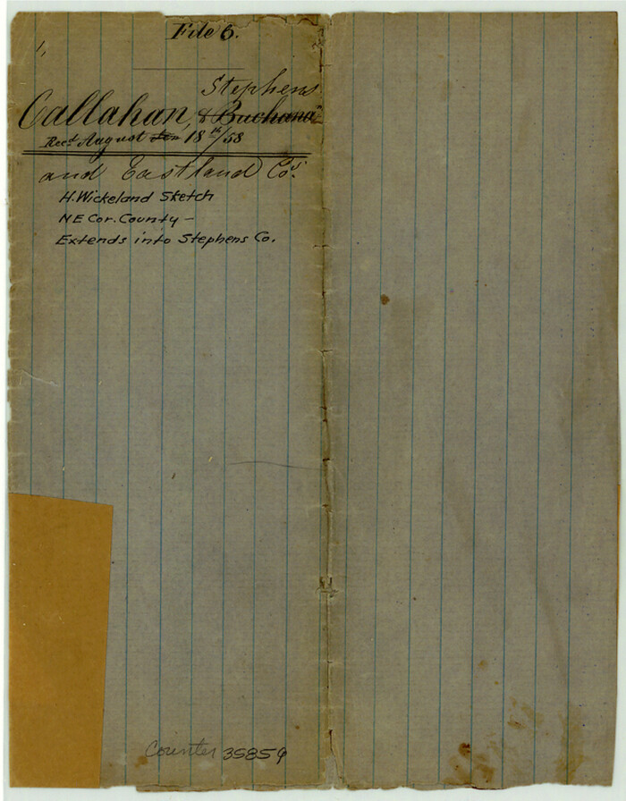

Print $42.00
- Digital $50.00
Callahan County Sketch File 6
1858
Size: 8.2 x 6.4 inches
35859
Map of Callahan County
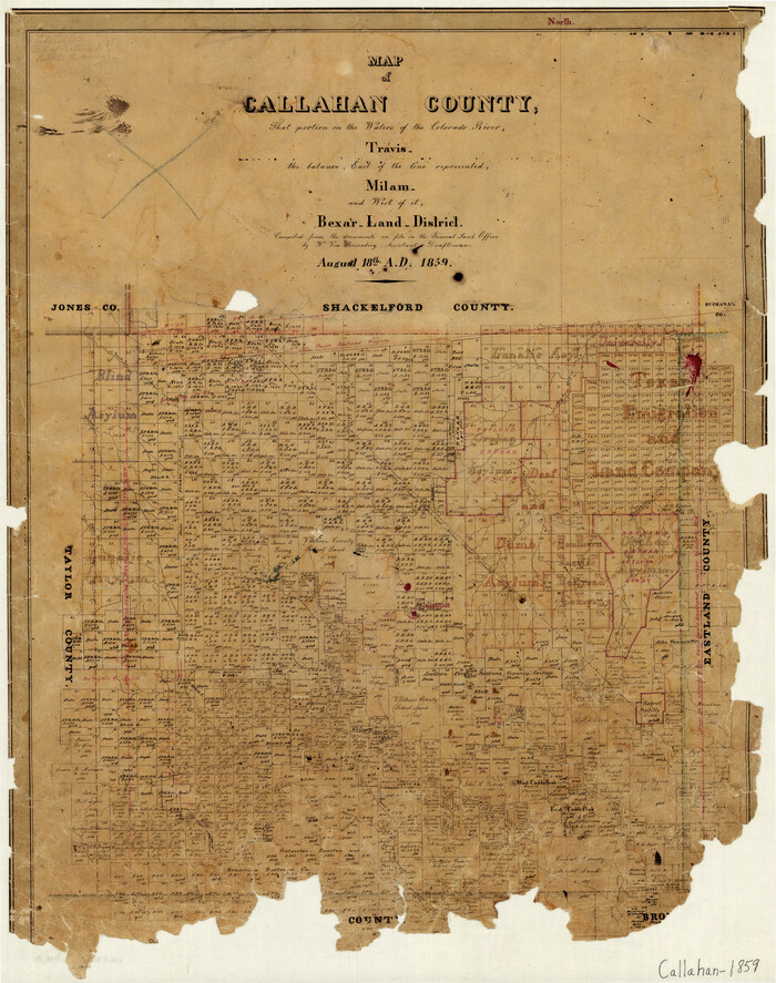

Print $20.00
- Digital $50.00
Map of Callahan County
1859
Size: 24.5 x 19.4 inches
3360
Callahan County Sketch File 10


Print $40.00
- Digital $50.00
Callahan County Sketch File 10
-
Size
21.7 x 24.7 inches
-
Map/Doc
11039
Coleman County Sketch File 27a


Print $20.00
- Digital $50.00
Coleman County Sketch File 27a
-
Size
22.6 x 24.3 inches
-
Map/Doc
11121
[Map of a portion of Bexar and Travis Districts]
![16943, [Map of a portion of Bexar and Travis Districts], General Map Collection](https://historictexasmaps.com/wmedia_w700/maps/16943.tif.jpg)
![16943, [Map of a portion of Bexar and Travis Districts], General Map Collection](https://historictexasmaps.com/wmedia_w700/maps/16943.tif.jpg)
Print $20.00
- Digital $50.00
[Map of a portion of Bexar and Travis Districts]
-
Size
47.5 x 47.2 inches
-
Map/Doc
16943
Eastland County Sketch File 1


Print $8.00
- Digital $50.00
Eastland County Sketch File 1
-
Size
9.0 x 7.9 inches
-
Map/Doc
21555
Eastland County Sketch File 11


Print $8.00
- Digital $50.00
Eastland County Sketch File 11
-
Size
6.7 x 7.0 inches
-
Map/Doc
21585
Callahan County Sketch File 1


Print $4.00
- Digital $50.00
Callahan County Sketch File 1
-
Size
9.1 x 8.2 inches
-
Map/Doc
35851
Callahan County Sketch File 6a


Print $24.00
- Digital $50.00
Callahan County Sketch File 6a
-
Size
8.0 x 6.8 inches
-
Map/Doc
35860
Callahan County Sketch File 7


Print $18.00
- Digital $50.00
Callahan County Sketch File 7
-
Size
10.8 x 8.9 inches
-
Map/Doc
35863
Callahan County Sketch File 10b


Print $6.00
- Digital $50.00
Callahan County Sketch File 10b
-
Size
12.1 x 10.8 inches
-
Map/Doc
35883
Callahan County Sketch File 11


Print $64.00
- Digital $50.00
Callahan County Sketch File 11
-
Size
11.4 x 8.4 inches
-
Map/Doc
35887
Callahan County Sketch File 16


Print $4.00
- Digital $50.00
Callahan County Sketch File 16
-
Size
14.6 x 8.7 inches
-
Map/Doc
35895
Taylor County Sketch File A1


Print $40.00
- Digital $50.00
Taylor County Sketch File A1
-
Size
12.8 x 14.3 inches
-
Map/Doc
37774
Callahan County Boundary File 1


Print $120.00
- Digital $50.00
Callahan County Boundary File 1
-
Size
14.2 x 8.6 inches
-
Map/Doc
51025
Callahan County Boundary File 1a


Print $4.00
- Digital $50.00
Callahan County Boundary File 1a
-
Size
13.3 x 8.7 inches
-
Map/Doc
51085
Callahan County Rolled Sketch 5


Print $40.00
- Digital $50.00
Callahan County Rolled Sketch 5
-
Size
52.0 x 44.1 inches
-
Map/Doc
5382
[Texas Central Railway through Callahan County]
![64240, [Texas Central Railway through Callahan County], General Map Collection](https://historictexasmaps.com/wmedia_w700/maps/64240-1.tif.jpg)
![64240, [Texas Central Railway through Callahan County], General Map Collection](https://historictexasmaps.com/wmedia_w700/maps/64240-1.tif.jpg)
Print $40.00
- Digital $50.00
[Texas Central Railway through Callahan County]
-
Size
24.6 x 86.3 inches
-
Map/Doc
64240
Map of the Texas & Pacific Railway from Fort Worth to El Paso


Print $40.00
- Digital $50.00
Map of the Texas & Pacific Railway from Fort Worth to El Paso
-
Size
24.0 x 76.5 inches
-
Map/Doc
64511
Callahan County Working Sketch 8


Print $20.00
- Digital $50.00
Callahan County Working Sketch 8
-
Size
30.5 x 23.7 inches
-
Map/Doc
67890
Field Notes of Surveys in Travis District (Callahan, Coleman, and Runnels Counties)


Field Notes of Surveys in Travis District (Callahan, Coleman, and Runnels Counties)
-
Map/Doc
81675
[Area to the West and North of the Abraham Winfrey survey 11]
![92117, [Area to the West and North of the Abraham Winfrey survey 11], Twichell Survey Records](https://historictexasmaps.com/wmedia_w700/maps/92117-1.tif.jpg)
![92117, [Area to the West and North of the Abraham Winfrey survey 11], Twichell Survey Records](https://historictexasmaps.com/wmedia_w700/maps/92117-1.tif.jpg)
Print $20.00
- Digital $50.00
[Area to the West and North of the Abraham Winfrey survey 11]
-
Size
16.9 x 14.7 inches
-
Map/Doc
92117
Callahan County Sketch File 17


Print $18.00
- Digital $50.00
Callahan County Sketch File 17
-
Size
11.0 x 8.5 inches
-
Map/Doc
93444
[Map of Texas and Pacific Blocks from Brazos River westward through Palo Pinto, Stephens, Shackelford, Jones, Callahan, Taylor, Fisher, Nolan and Mitchell Counties]
![93456, [Map of Texas and Pacific Blocks from Brazos River westward through Palo Pinto, Stephens, Shackelford, Jones, Callahan, Taylor, Fisher, Nolan and Mitchell Counties], General Map Collection](https://historictexasmaps.com/wmedia_w700/maps/93456-1.tif.jpg)
![93456, [Map of Texas and Pacific Blocks from Brazos River westward through Palo Pinto, Stephens, Shackelford, Jones, Callahan, Taylor, Fisher, Nolan and Mitchell Counties], General Map Collection](https://historictexasmaps.com/wmedia_w700/maps/93456-1.tif.jpg)
Print $20.00
- Digital $50.00
[Map of Texas and Pacific Blocks from Brazos River westward through Palo Pinto, Stephens, Shackelford, Jones, Callahan, Taylor, Fisher, Nolan and Mitchell Counties]
-
Size
22.0 x 18.5 inches
-
Map/Doc
93456
[Map of Texas and Pacific Blocks from Brazos River westward through Palo Pinto, Stephens, Shackelford, Jones, Callahan, Taylor, Fisher, Nolan and Mitchell Counties]
![93460, [Map of Texas and Pacific Blocks from Brazos River westward through Palo Pinto, Stephens, Shackelford, Jones, Callahan, Taylor, Fisher, Nolan and Mitchell Counties], General Map Collection](https://historictexasmaps.com/wmedia_w700/maps/93460.tif.jpg)
![93460, [Map of Texas and Pacific Blocks from Brazos River westward through Palo Pinto, Stephens, Shackelford, Jones, Callahan, Taylor, Fisher, Nolan and Mitchell Counties], General Map Collection](https://historictexasmaps.com/wmedia_w700/maps/93460.tif.jpg)
Print $40.00
- Digital $50.00
[Map of Texas and Pacific Blocks from Brazos River westward through Palo Pinto, Stephens, Shackelford, Jones, Callahan, Taylor, Fisher, Nolan and Mitchell Counties]
-
Size
87.1 x 18.8 inches
-
Map/Doc
93460
Pecan Bayou Travis District


Print $20.00
- Digital $50.00
Pecan Bayou Travis District
1852
-
Size
25.8 x 20.5 inches
-
Map/Doc
4518
-
Creation Date
1852
Map of The Surveyed Part of Peters Colony Texas


Print $40.00
- Digital $50.00
Map of The Surveyed Part of Peters Colony Texas
1854
-
Size
53.5 x 65.9 inches
-
Map/Doc
1967
-
Creation Date
1854
Map of Asylum Lands


Print $20.00
- Digital $50.00
Map of Asylum Lands
1857
-
Size
22.0 x 29.1 inches
-
Map/Doc
2214
-
Creation Date
1857
Map of Asylum Lands


Print $20.00
- Digital $50.00
Map of Asylum Lands
1857
-
Size
28.4 x 18.5 inches
-
Map/Doc
2459
-
Creation Date
1857
Callahan County Sketch File 2


Print $8.00
- Digital $50.00
Callahan County Sketch File 2
1858
-
Size
11.8 x 8.7 inches
-
Map/Doc
35853
-
Creation Date
1858
Callahan County Sketch File 6


Print $42.00
- Digital $50.00
Callahan County Sketch File 6
1858
-
Size
8.2 x 6.4 inches
-
Map/Doc
35859
-
Creation Date
1858
Map of Callahan County


Print $20.00
- Digital $50.00
Map of Callahan County
1859
-
Size
24.5 x 19.4 inches
-
Map/Doc
3360
-
Creation Date
1859