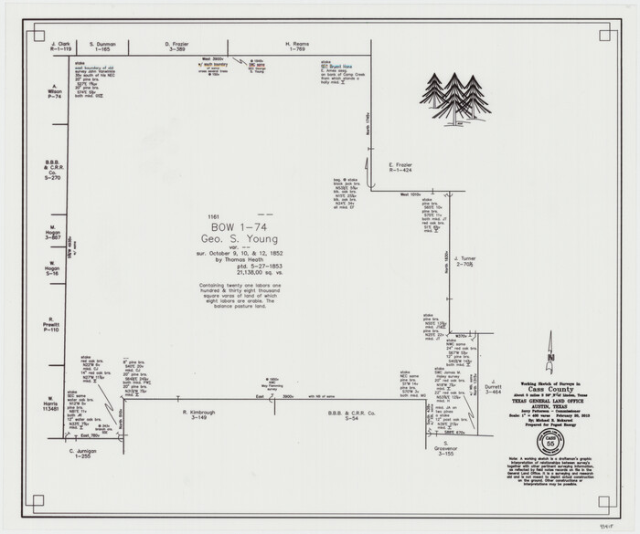
Cass County Working Sketch 55
2013
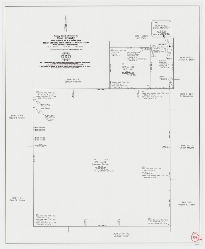
Cass County Working Sketch 54
2012
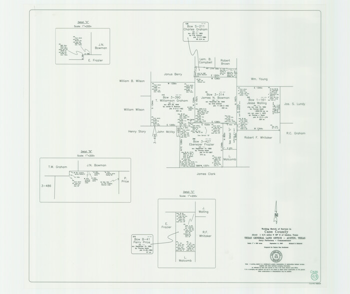
Cass County Working Sketch 53
2007

Marion County Working Sketch 44
2002
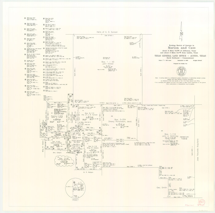
Marion County Working Sketch 43
2002

Cass County Working Sketch 52
2001

Marion County Working Sketch 41
1996
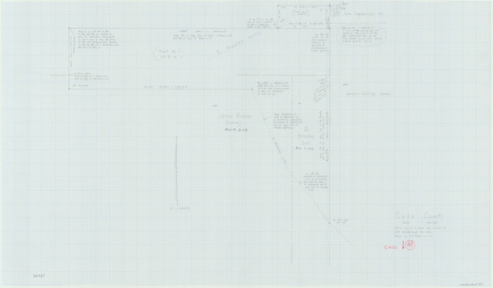
Cass County Working Sketch 48
1992

Cass County Working Sketch 47b
1992
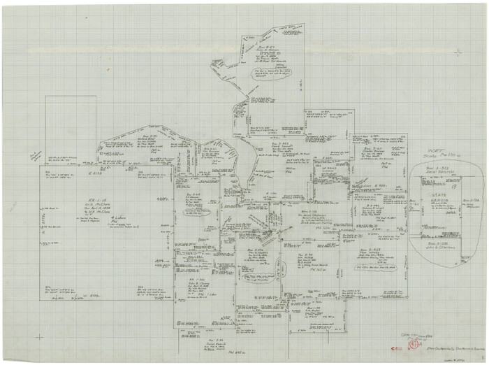
Cass County Working Sketch 47a
1991
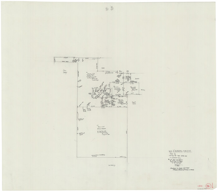
Cass County Working Sketch 46
1989
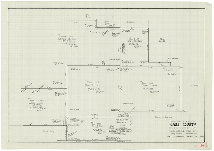
Cass County Working Sketch 44
1989
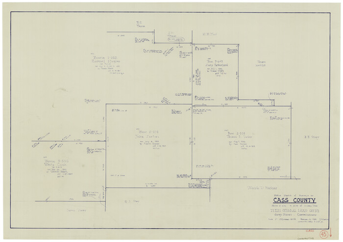
Cass County Working Sketch 45
1989
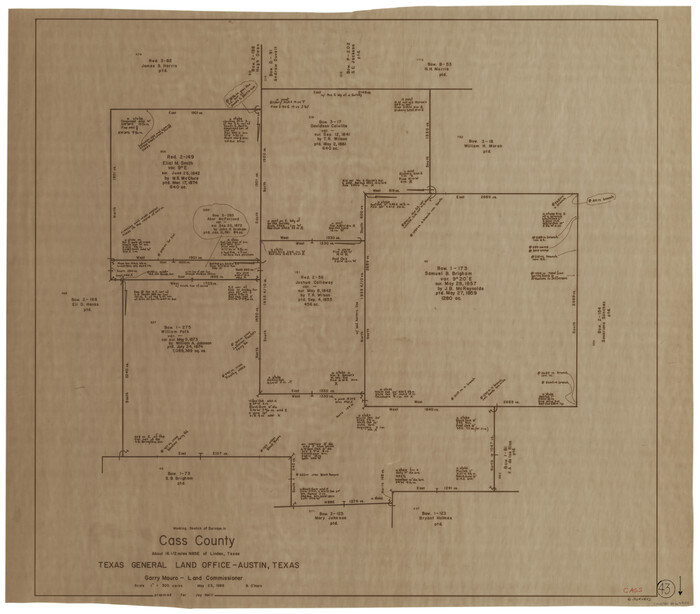
Cass County Working Sketch 43
1988
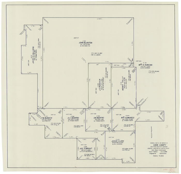
Cass County Working Sketch 42
1986
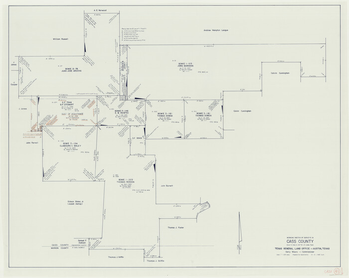
Cass County Working Sketch 41
1985

Cass County Working Sketch 40
1984

Cass County Working Sketch 39
1983

Cass County Working Sketch 38
1982

Cass County Working Sketch 37
1982
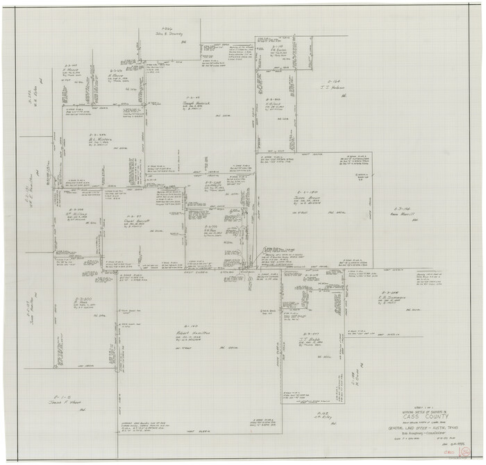
Cass County Working Sketch 36
1982

Cass County Working Sketch 35
1982

Cass County Working Sketch 34
1982
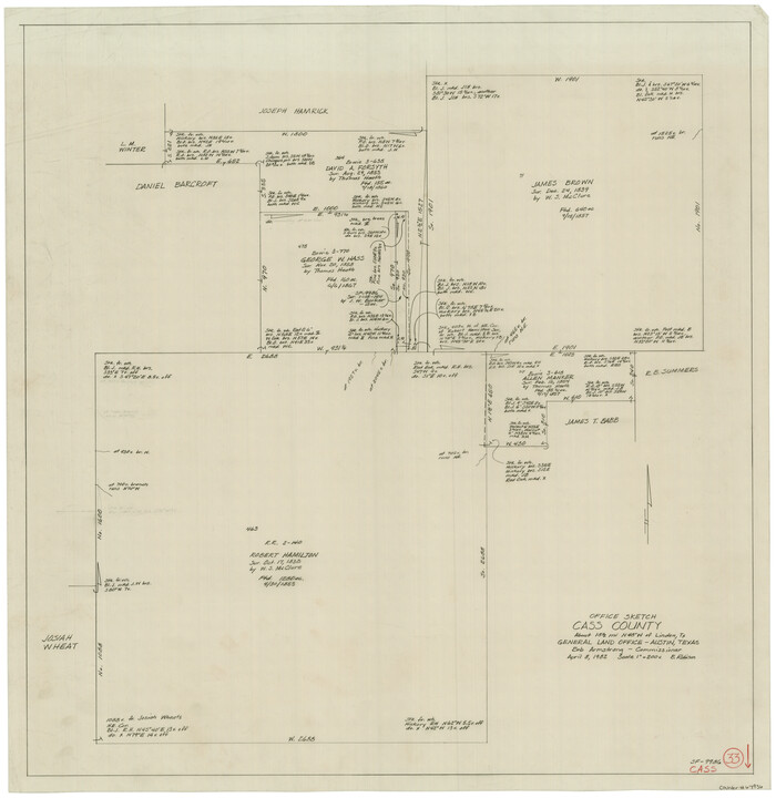
Cass County Working Sketch 33
1982
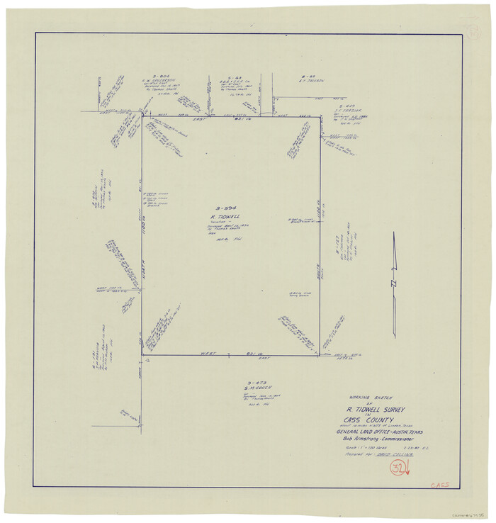
Cass County Working Sketch 32
1982

Cass County Working Sketch 31
1981
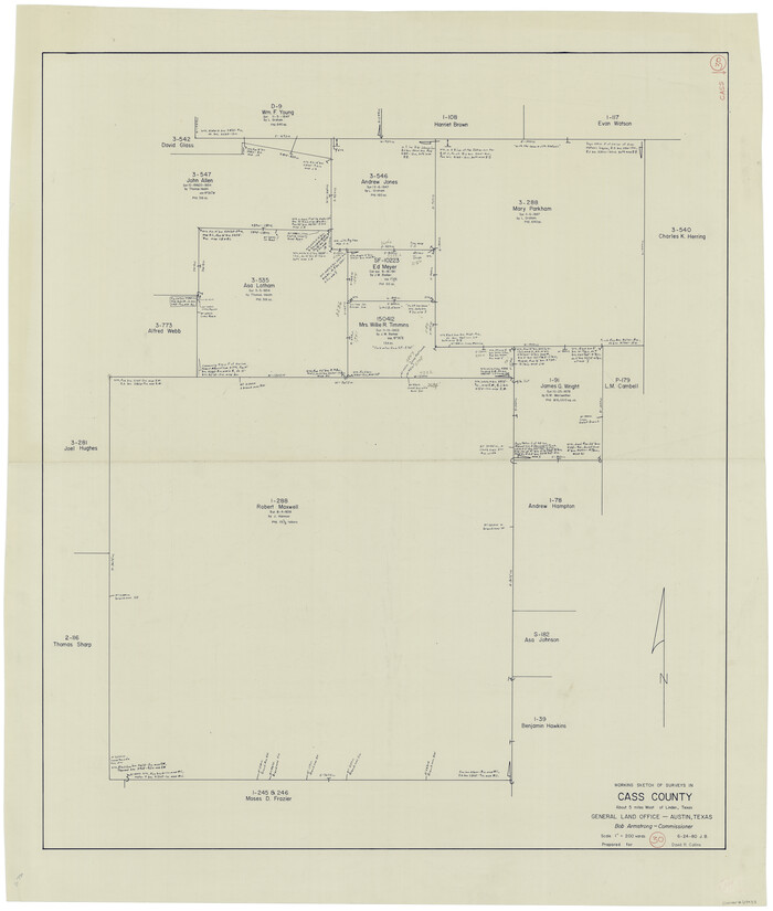
Cass County Working Sketch 30
1980
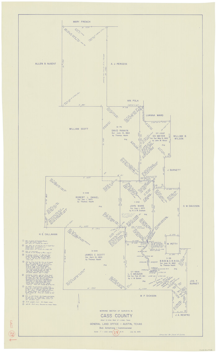
Cass County Working Sketch 29
1979
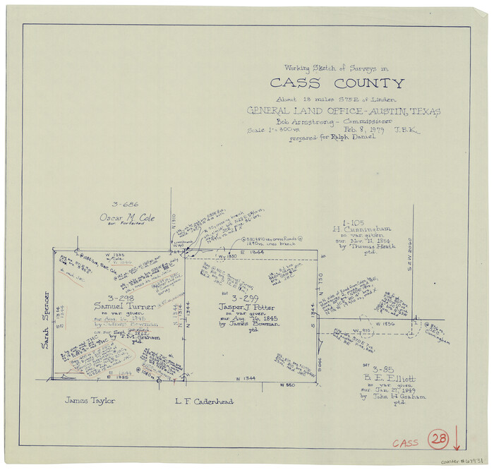
Cass County Working Sketch 28
1979
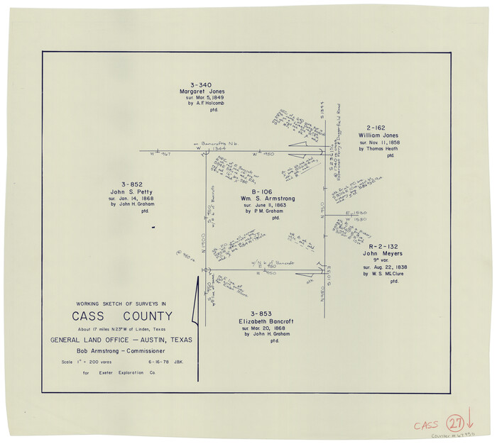
Cass County Working Sketch 27
1978

Cass County Working Sketch 55
2013
-
Size
17.3 x 20.6 inches
-
Map/Doc
93415
-
Creation Date
2013

Cass County Working Sketch 54
2012
-
Size
26.2 x 21.6 inches
-
Map/Doc
93337
-
Creation Date
2012

Cass County Working Sketch 53
2007
-
Size
30.2 x 36.0 inches
-
Map/Doc
88608
-
Creation Date
2007

Marion County Working Sketch 44
2002
-
Size
42.7 x 27.0 inches
-
Map/Doc
78215
-
Creation Date
2002

Marion County Working Sketch 43
2002
-
Size
28.6 x 29.0 inches
-
Map/Doc
78214
-
Creation Date
2002

Cass County Working Sketch 52
2001
-
Size
32.9 x 23.9 inches
-
Map/Doc
67955
-
Creation Date
2001

Marion County Working Sketch 41
1996
-
Size
34.0 x 48.5 inches
-
Map/Doc
70817
-
Creation Date
1996

Cass County Working Sketch 48
1992
-
Size
21.3 x 36.4 inches
-
Map/Doc
67951
-
Creation Date
1992

Cass County Working Sketch 47b
1992
-
Size
32.3 x 36.4 inches
-
Map/Doc
76063
-
Creation Date
1992

Cass County Working Sketch 47a
1991
-
Size
29.5 x 39.5 inches
-
Map/Doc
67950
-
Creation Date
1991

Cass County Working Sketch 46
1989
-
Size
26.8 x 30.6 inches
-
Map/Doc
67949
-
Creation Date
1989

Cass County Working Sketch 44
1989
-
Size
21.3 x 30.3 inches
-
Map/Doc
67947
-
Creation Date
1989

Cass County Working Sketch 45
1989
-
Size
21.3 x 30.1 inches
-
Map/Doc
67948
-
Creation Date
1989

Cass County Working Sketch 43
1988
-
Size
25.6 x 29.6 inches
-
Map/Doc
67946
-
Creation Date
1988

Cass County Working Sketch 42
1986
-
Size
36.4 x 37.5 inches
-
Map/Doc
67945
-
Creation Date
1986

Cass County Working Sketch 41
1985
-
Size
34.0 x 42.7 inches
-
Map/Doc
67944
-
Creation Date
1985

Cass County Working Sketch 40
1984
-
Size
24.6 x 24.5 inches
-
Map/Doc
67943
-
Creation Date
1984

Cass County Working Sketch 39
1983
-
Size
26.3 x 34.6 inches
-
Map/Doc
67942
-
Creation Date
1983

Cass County Working Sketch 38
1982
-
Size
19.2 x 21.0 inches
-
Map/Doc
67941
-
Creation Date
1982

Cass County Working Sketch 37
1982
-
Size
26.8 x 31.8 inches
-
Map/Doc
67940
-
Creation Date
1982

Cass County Working Sketch 36
1982
-
Size
37.9 x 39.4 inches
-
Map/Doc
67939
-
Creation Date
1982

Cass County Working Sketch 35
1982
-
Size
23.5 x 44.8 inches
-
Map/Doc
67938
-
Creation Date
1982

Cass County Working Sketch 34
1982
-
Size
21.1 x 24.6 inches
-
Map/Doc
67937
-
Creation Date
1982

Cass County Working Sketch 33
1982
-
Size
27.4 x 26.6 inches
-
Map/Doc
67936
-
Creation Date
1982

Cass County Working Sketch 32
1982
-
Size
24.0 x 22.6 inches
-
Map/Doc
67935
-
Creation Date
1982

Cass County Working Sketch 31
1981
-
Size
30.7 x 31.1 inches
-
Map/Doc
67934
-
Creation Date
1981

Cass County Working Sketch 30
1980
-
Size
41.4 x 35.0 inches
-
Map/Doc
67933
-
Creation Date
1980

Cass County Working Sketch 29
1979
-
Size
38.4 x 23.5 inches
-
Map/Doc
67932
-
Creation Date
1979

Cass County Working Sketch 28
1979
-
Size
16.0 x 16.8 inches
-
Map/Doc
67931
-
Creation Date
1979

Cass County Working Sketch 27
1978
-
Size
17.5 x 19.7 inches
-
Map/Doc
67930
-
Creation Date
1978